Gifts for Skiers: A Map of Their Mountain
The problem with buying a gift for a skier is that they already own the gear, and they will not trust you to buy them more of it. What they don't own is the mountain.
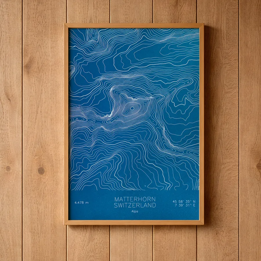
Skiers are famously difficult to shop for, and the reason is simple: they have already bought everything. The good socks, the tuning kit, the third pair of gloves that was going to solve the glove problem once and for all. Anything you buy them will be compared, silently, against the version of it they already own.
The way out is to stop buying them equipment and buy them the mountain instead. Every map here starts as real elevation data and gets drawn line by line with a pen plotter in our Vermont studio, actual ink on actual paper, every contour of the terrain they claim to know better than anyone. Skiers read terrain for a living, more or less recreationally, which makes them the one audience that will stand in front of a contour map and find the traverse they poach and the line they will not admit they avoid.
The only real decision is which mountain, and the answer is almost never the famous one. It’s theirs: the one they defend in arguments, the one their season pass lives on. If you know that mountain, you can skip the rest of this guide and go find it in the ski resort collection. If you need ideas, some reliable choices follow.
For the East Coast loyalist
Stowe is the obvious classic, and its history rewards a close look: the oldest ski patrol in America was founded here in 1934, one year after the Civilian Conservation Corps cut the first trails on Mount Mansfield, presumably having watched what happened in 1933. The map pairs well with Mount Mansfield itself, Vermont’s highest peak, whose summit is called the Chin because the settlers who named the ridge had decided it was a face.
Mad River Glen is the gift for a very specific person, and you know immediately whether you live with one. A single chair, natural snow only, no snowboarding, one of the last cooperatively owned ski areas in the country, and a motto that is legally a dare: Ski It If You Can. A skier who loves Mad River will tell you about it whether or not you buy the map. You may as well buy the map.
For the powder person
Alta has been refusing to change since 1939: skiers only, upwards of 500 inches of snow a season, and a canyon whose contour lines explain both numbers at a glance. It is the map for the person in your life who plans their year around Little Cottonwood Canyon and describes storms the way other people describe relatives.
Jackson Hole rises 4,139 continuous vertical feet from the valley floor, and somewhere in its contours is Corbet’s Couloir, perhaps the most famous expert chute in skiing. The map lets its owner point at the exact stack of lines where they did, or someday will, or wisely won’t.
Big Sky covers over 5,800 acres across four mountains in Montana, crowned by the 11,166-foot cone of Lone Mountain. On paper the peak prints as a tight bullseye of rings, which is roughly how it feels to stand under it.
For the one planning a trip to the Alps
Morzine is a working Savoyard market town that happens to sit at the heart of the Portes du Soleil, one of the largest linked ski areas in the world, a dozen resorts stitched together across the French-Swiss border. The town existed long before the lifts did, which is rarer than it should be, and the map traces the folded terrain that makes the place work: ridge after ridge of linked circuits that can fill a week without repeating a run. It is the gift for the skier who insists that Europe does this better and who is, in this one respect, correct.
Practical matters
Every map comes in multiple ink and paper colorways and three sizes, from a modest 8x12 to an 18x24 that will take over a wall. Each is an original pen plot, signed and dated, drawn from real elevation data. Browse the full ski resort collection, or if their loyalty belongs to a summit rather than a lift system, try the peaks.