Lake House Gifts: A Map of What's Under the Water
Every lake house already has art of the lake's surface. The better gift is the part nobody has seen: the drowned valley, the sunken roads, the bottom.
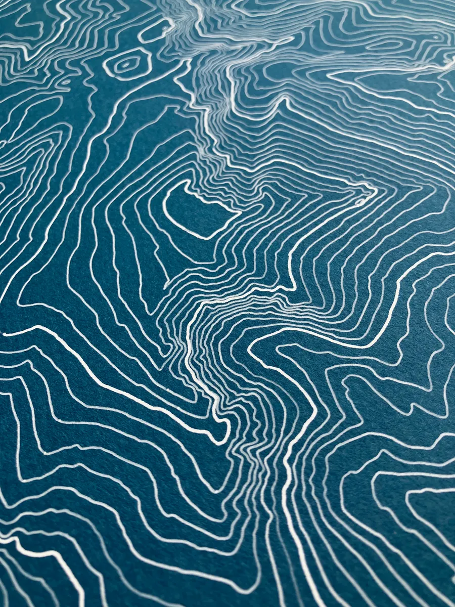
Lake house walls fill up on a fixed schedule. First the paddle, then the sign about lake rules, then something involving an anchor, and eventually a painting of the lake at sunset, viewed from roughly the dock. All of it is about the surface.
A bathymetric map is the opposite gift. It is drawn from real depth data, plotted line by line in ink, and it shows the one part of the lake that even the family that has summered there for forty years has never seen: the bottom. The shape under the boat. The drop-off the kids dare each other to swim over. And in an unreasonable number of New England lakes, the roads.
Because here is the thing about lakes in this part of the world: a surprising fraction of them are man-made, and the valleys they flooded were not empty. The lake collection covers more than fifty lakes; the ones below give a sense of the range.
For the lake with a history
Candlewood Lake is Connecticut’s largest lake, and divers report Model T Fords at the bottom of it. When the Rocky River valley was flooded in 1928 for one of the country’s first big pumped-storage hydroelectric projects, the village of Jerusalem was cleared out, but the roads and bridges were left where they stood while the water came up. The depth contours still trace the old river channel, which means a map of Candlewood is, quietly, a map of the valley it used to be. Five towns share the shoreline; every one of them has a house that needs this on the wall.
For the deep one
Lake Tahoe is the second-deepest lake in the United States at 1,634 feet, a fault basin that dropped between two rising mountain ranges and then filled with famously clear water. The map shows the bottom falling away hundreds of feet within a short swim of Rubicon Point, then flattening into a vast central floor. It is the rare bathymetric map that reads like a mountain map turned inside out, which is more or less what Tahoe is.
Lake Willoughby is Vermont’s fjord, a glacial trench pinned between the cliffs of Mount Pisgah and Mount Hor, 300 feet deep and shaped like a piece of Norway that was delivered to the Northeast Kingdom by mistake. The contours crowd hard against both shores where the cliffs keep plunging underwater, then open into the sandy shelves at either end where the beaches are. Anyone who swims there already suspects the middle is bottomless. The map will confirm they were close.
Choosing the right lake
The honest answer is that none of these is the right lake unless it is their lake. The map that works is the one where the recipient can find their cove, their dock, and the spot where the fish allegedly are. Browse the full lake and bathymetry collection and look for the water they actually know. Each map is an original pen plot from real depth data, signed and dated, in colorways that run from pale glacier blue to deep navy, and in sizes up to 18x24, which is large enough to settle arguments about where the drop-off is.