Oregon
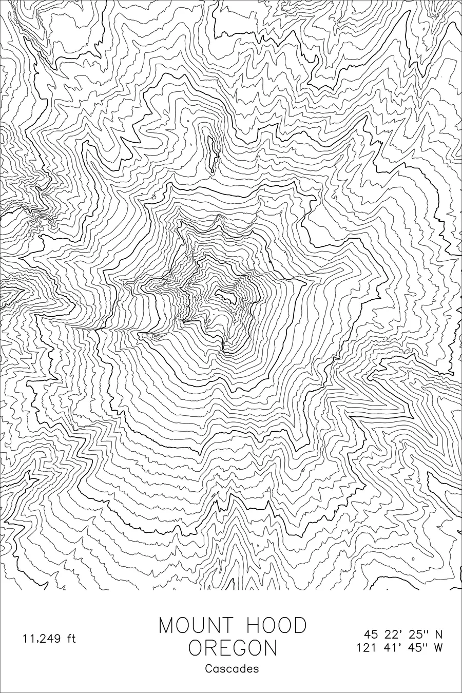
Mount Hood
Volcano. Oregon's highest point and most-climbed glaciated peak in North America. 11,249 feet above sea level.
$54
Original pen plot · signed · no two identical
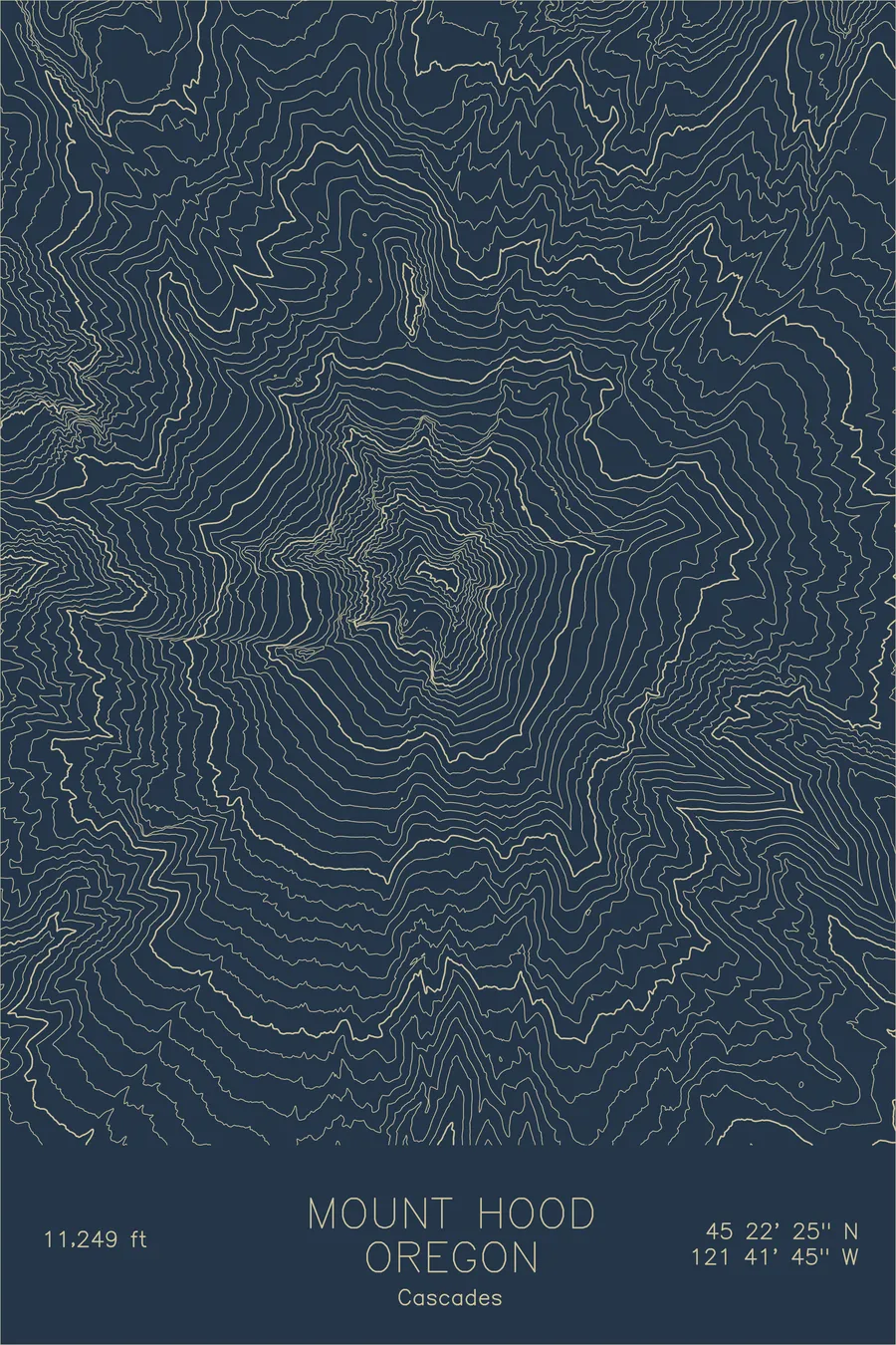
Ink & paper: Navy
Size: 12×18"
Made to order. Ships flat in 1–4 business days. Shipping & returns
+ Details
- 12 × 18 inches
- Drawn on 98 lb (160 gsm) archival cotton paper
- Precision technical pens and archival inks
- Signed and dated on the back
- Ships flat, protected, ready to frame
Each map begins with elevation data and is drawn by a pen plotter in our Vermont studio. Mechanical precision, plus the texture and small imperfections of real ink on paper.
+ About this map
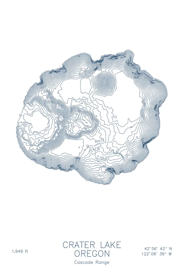
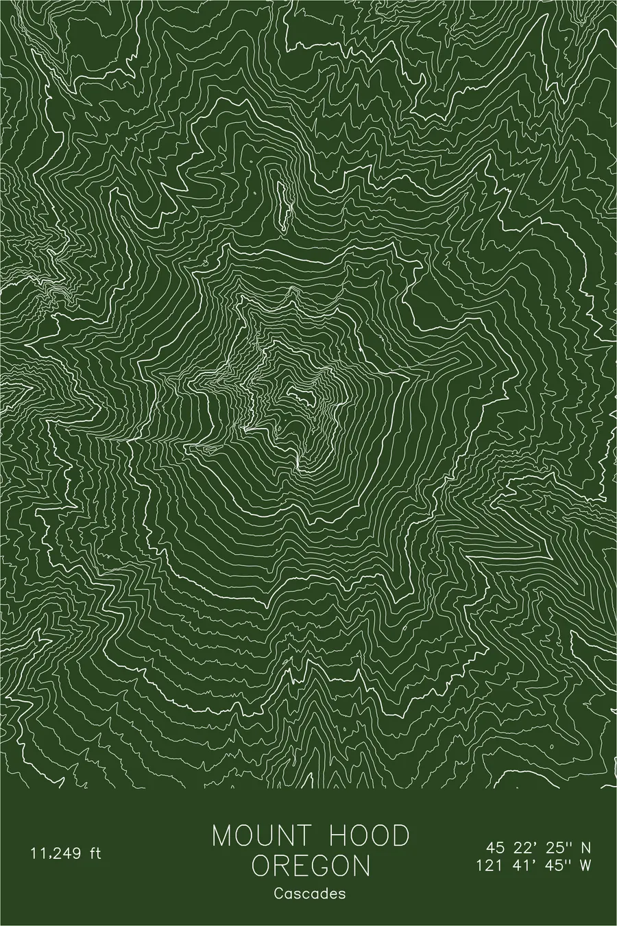
Mount Hood rises 11,249 feet above northwest Oregon, a stratovolcano so prominent it is visible from Portland on clear days, a constant presence on the city’s eastern skyline. It is the most-climbed glaciated peak in North America, with over 10,000 summit attempts each year. The mountain last erupted in the 1780s, and fumaroles near the summit still melt the ice from below, creating the unstable terrain that makes the upper routes deceptively technical.
This map traces the volcanic architecture of Hood’s cone. The contour lines converge toward the summit in a near-perfect radial pattern, broken by the deep notches of glacial valleys: the Sandy, Reid, and Eliot glaciers each carving their own signature into the mountainside. The south face, home to Palmer Glacier and Timberline Lodge, shows a more gradual grade that contrasts sharply with the steep, crevassed terrain of the north side.
+ Site data
- Location
- Mount Hood
- Range
- Cascades
- Region
- Pacific Northwest
- Elevation
- 11,249 ft / 3,429 m
- Coordinates
- 45.3735N 121.6959W
- Type
- peak
- Notes
- Volcano. Oregon's highest point and most-climbed glaciated peak in North America
Off the screen
In real rooms


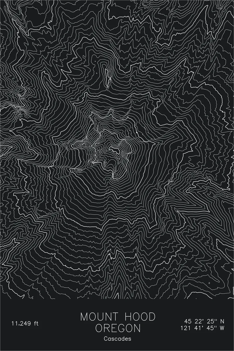
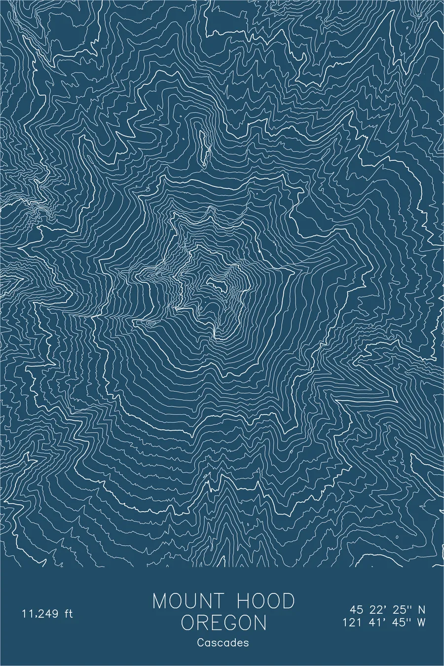
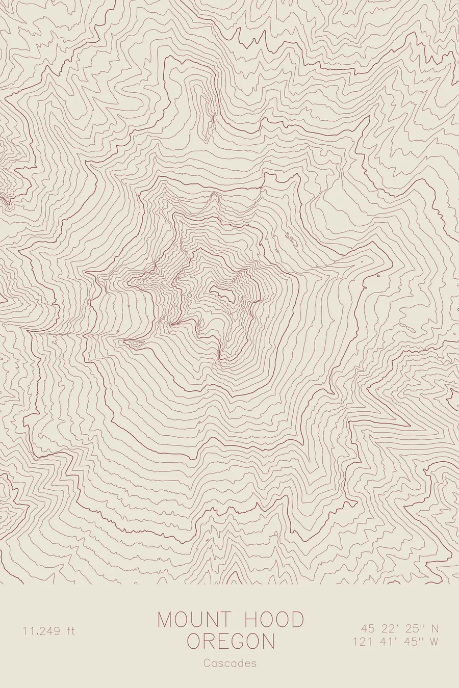
Real plots in the selected colorway
More maps