United Kingdom
Ben Nevis
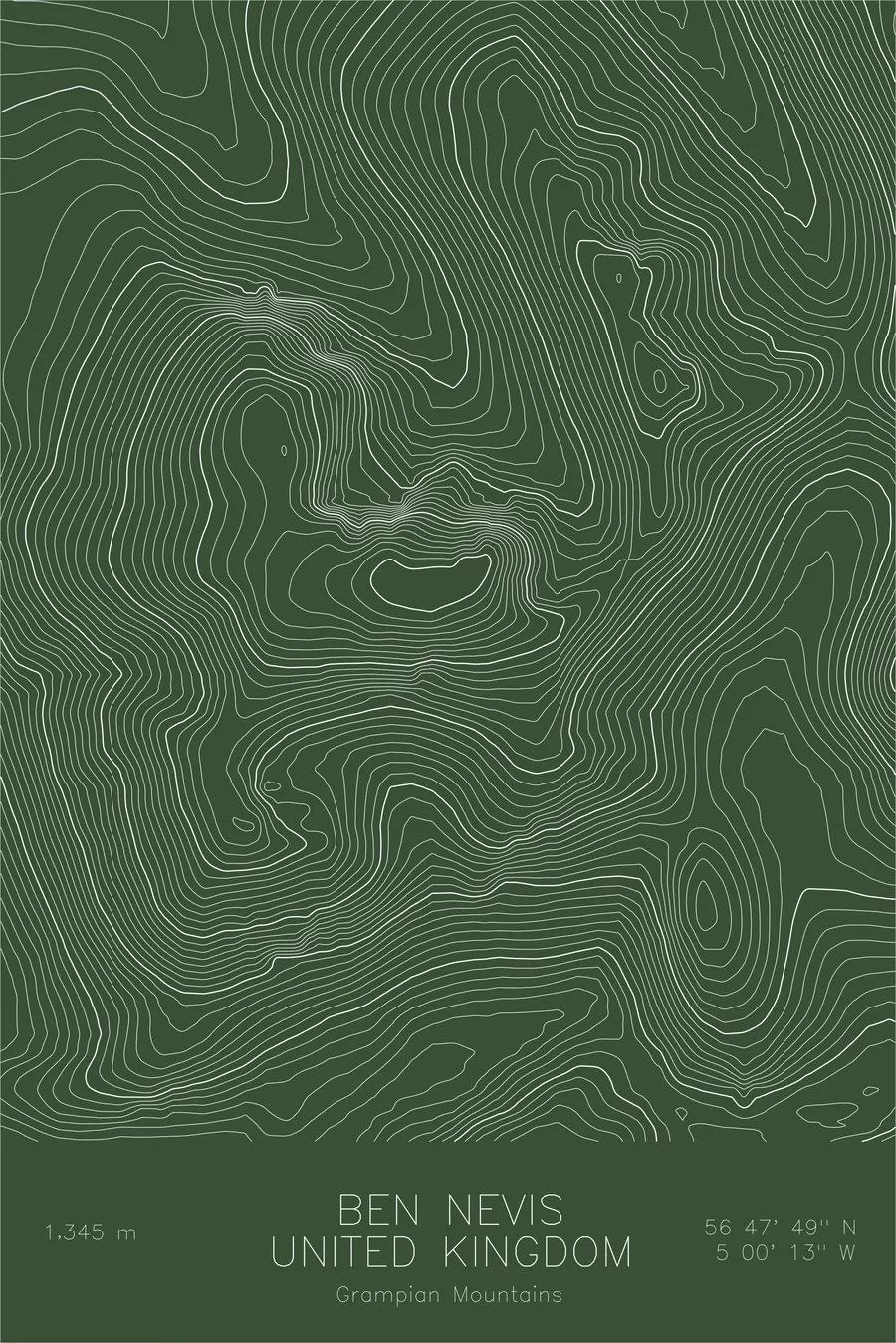
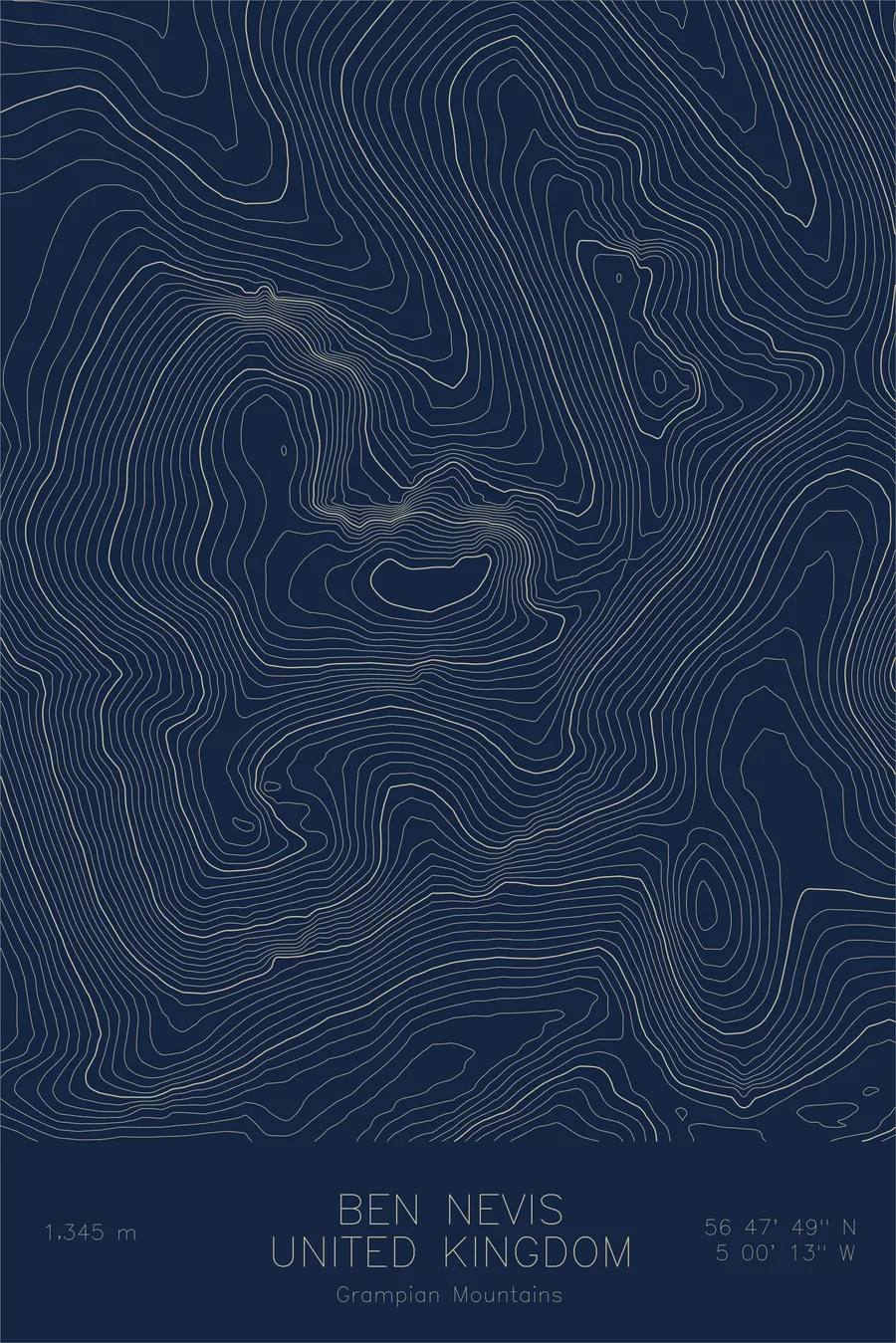
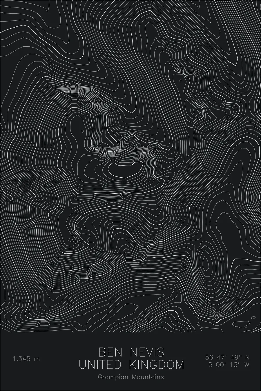
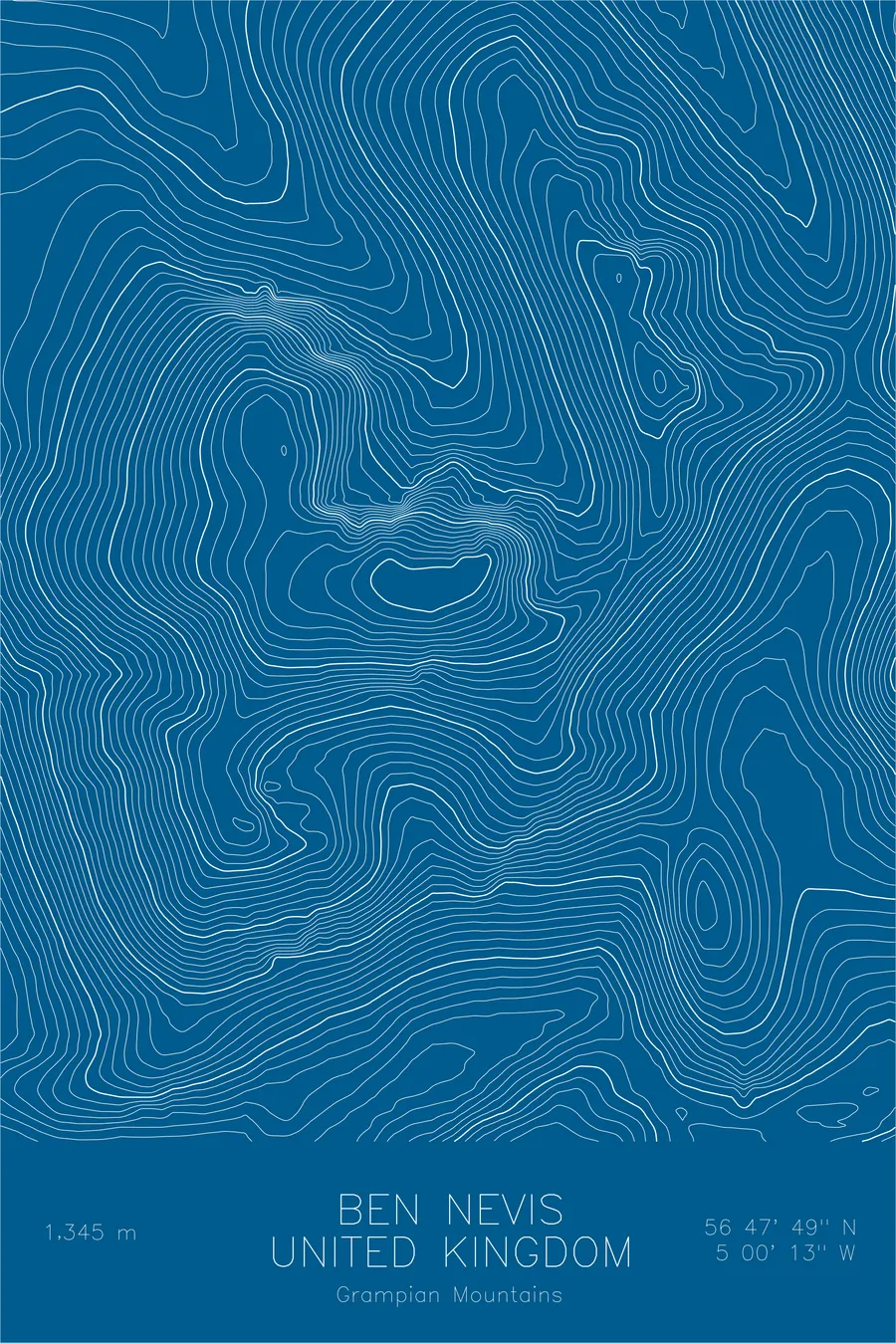
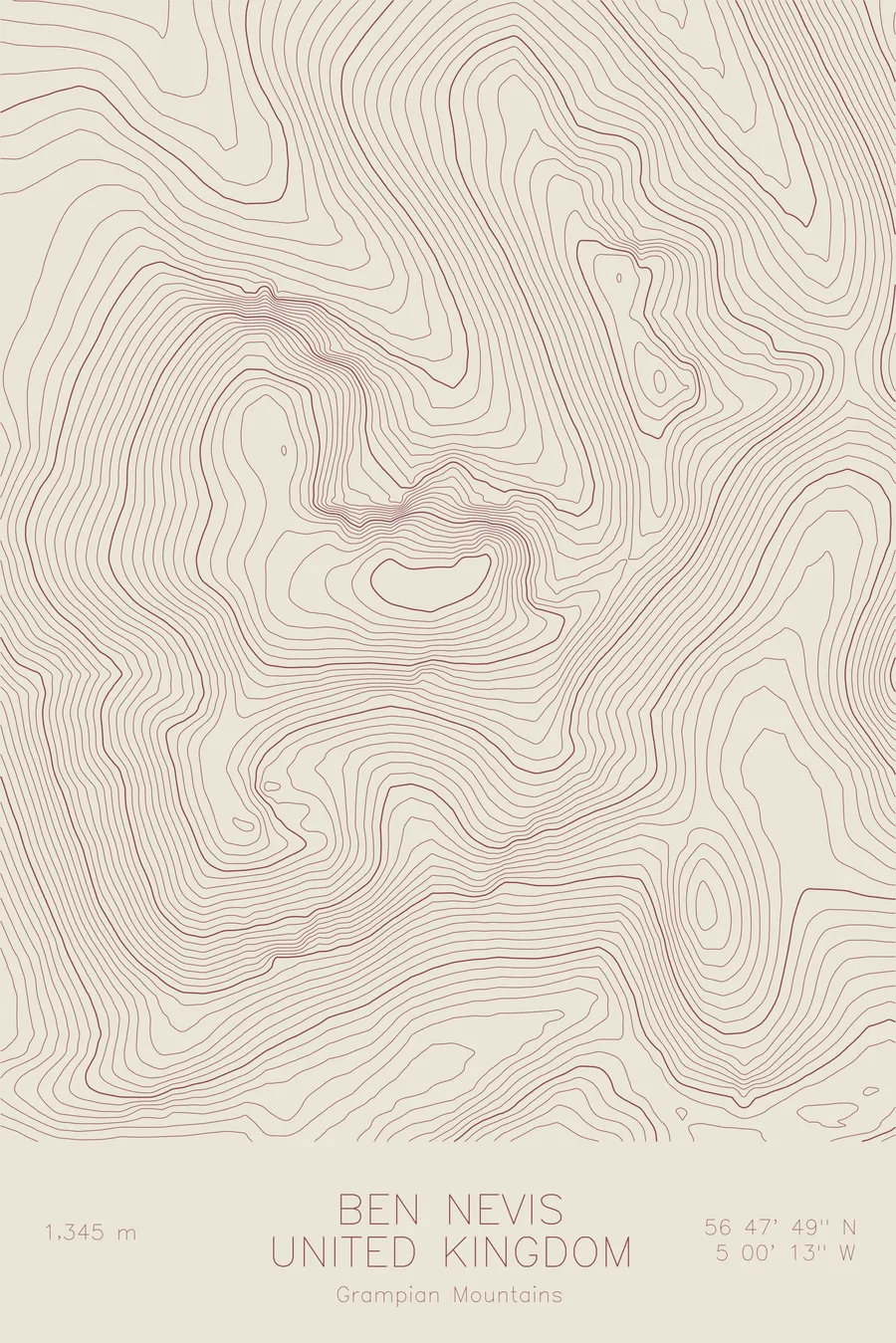
A pen-plotted topographic map of Ben Nevis in the Grampian Mountains, United Kingdom, drawn from real elevation contour data.
The highest peak in the British Isles, with a reasonable claim to being the most dangerous small mountain in the world.
$54
Ink & paper: Green
Size: 12×18"
+Personalize this map
+ Details
- 12 × 18 inches
- Drawn on 98 lb (160 gsm) archival cotton paper
- Precision technical pens and archival inks
- Signed and dated on the back
- Ships flat, protected, ready to frame
Each map begins with elevation data and is drawn by a pen plotter in our Vermont studio. Mechanical precision, plus the texture and small imperfections of real ink on paper.
Off the screen
In real rooms



















+ About this map
Ben Nevis is 4,413 feet tall, lower than the parking lots of most Colorado ski areas, and it is regularly described as the most dangerous small mountain in the world. The problem is position. It is the highest peak in the British Isles, the eroded remnant of an ancient volcano standing at the stormy Atlantic end of the Grampian Mountains, and weather arrives off the ocean with no prior appointment. Snow holds in its high gullies deep into summer, and the cliffs of its North Face, the tallest in Britain, are where Scottish winter climbing was more or less invented.
This map shows the mountain’s two very different characters. On the southwest, the contour lines spread into the broad shoulder that carries the Mountain Track up from Glen Nevis, the walkers’ route to the top. On the northeast, the lines compress into the great wall above Coire Leis, where the summit plateau breaks off into buttresses and gullies, and the narrow crest of the Carn Mor Dearg arête curves toward the summit.
+ Map details
- Ben Nevis
- United Kingdom
- Grampian Mountains
- Grampian Mountains
- 4,413 ft / 1,345 m
- 56.7969N 5.0036W
- Mountain topographic map
- Original pen plot, archival ink on cotton paper
- 8 × 12 in · 12 × 18 in · 18 × 24 in
- Highest peak in the British Isles
More maps