Nepal
Ama Dablam
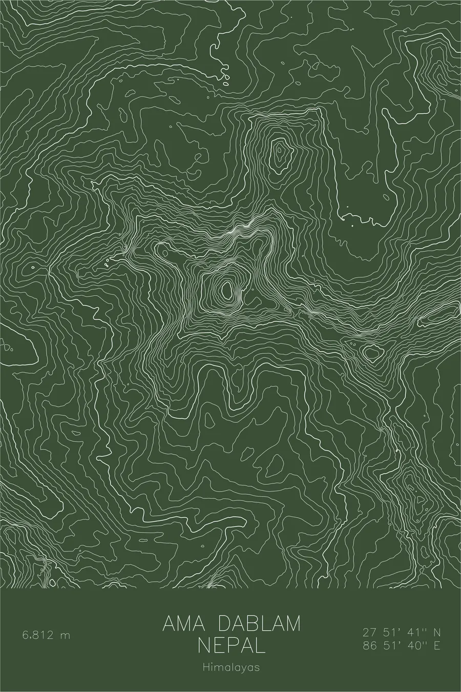
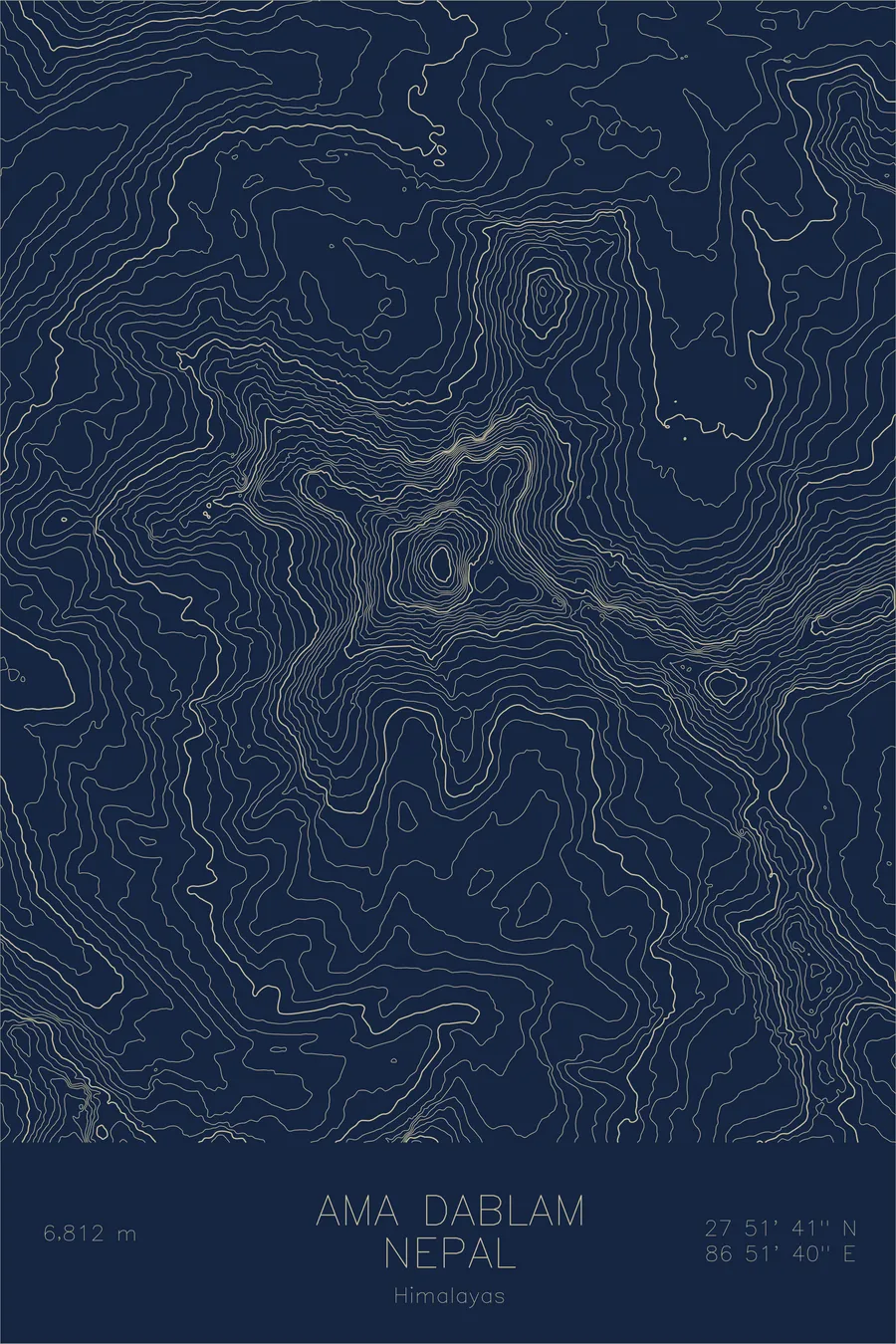
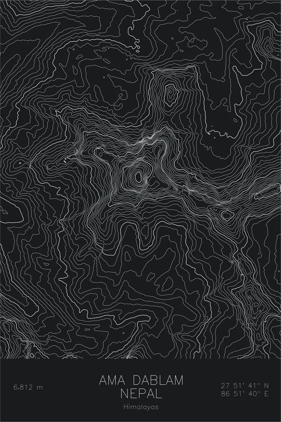
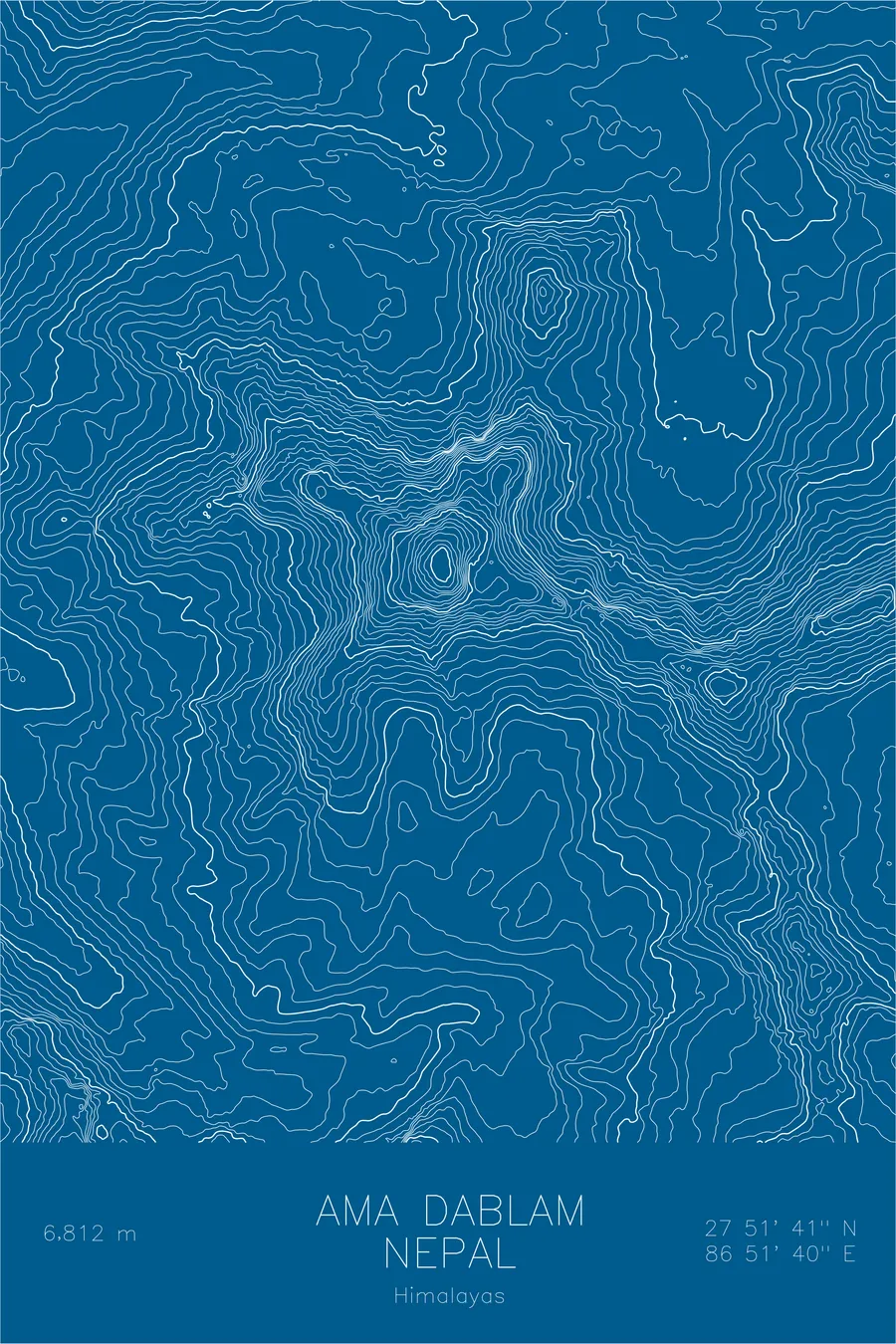
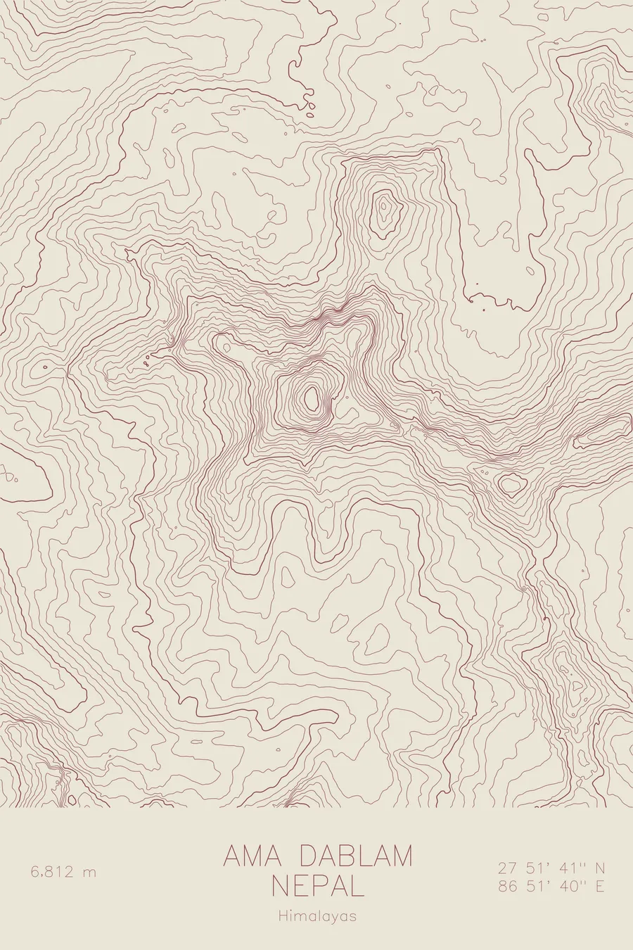
A pen-plotted topographic map of Ama Dablam in the Himalayas, Nepal, drawn from real elevation contour data.
First climbed in 1961, without a permit, by scientists who had wintered in a laboratory at 5,800 meters.
$54
Ink & paper: Black
Size: 12×18"
+Personalize this map
+ Details
- 12 × 18 inches
- Drawn on 98 lb (160 gsm) archival cotton paper
- Precision technical pens and archival inks
- Signed and dated on the back
- Ships flat, protected, ready to frame
Each map begins with elevation data and is drawn by a pen plotter in our Vermont studio. Mechanical precision, plus the texture and small imperfections of real ink on paper.
Off the screen
In real rooms



















+ About this map
Ama Dablam, the 22,349-foot peak that dominates the skyline on the trek to Everest Base Camp, was first climbed on March 13, 1961 by four men who were not, strictly speaking, supposed to be climbing anything. Mike Gill, Wally Romanes, Mike Ward, and Barry Bishop of Edmund Hillary’s Silver Hut expedition had spent months living in a high-altitude laboratory at 5,800 meters to study acclimatization, and they had no permit for the peak. Eight days later Nepal’s Foreign Secretary cancelled the expedition’s Makalu permit for the ‘unauthorised ascent of AMADABLAM’, and Hillary got it reinstated only after writing a letter of apology.
This map shows the elegant geometry that makes the peak so recognizable. The contour lines trace the long ridges that sweep down from the summit toward the Imja Khola valley, and their tight spacing on the faces between them records slopes that approach vertical. High on the southwest side, the closely stacked lines mark the shelf where the hanging glacier clings directly below the summit.
+ Map details
- Ama Dablam
- Nepal
- Himalayas
- Himalayas
- 22,349 ft / 6,812 m
- 27.8614N 86.8611E
- Mountain topographic map
- Original pen plot, archival ink on cotton paper
- 8 × 12 in · 12 × 18 in · 18 × 24 in
- The Matterhorn of the Himalayas
More maps