Vermont
Bolton Valley
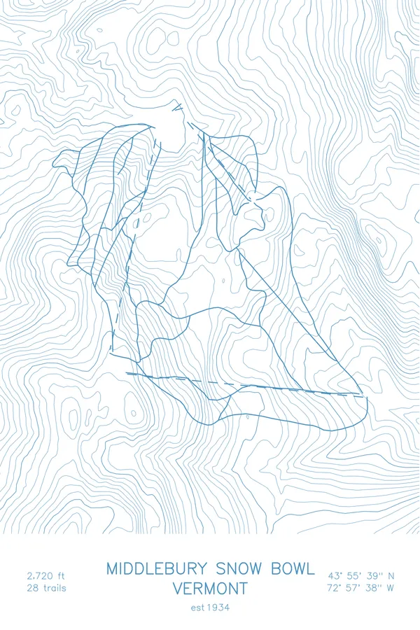
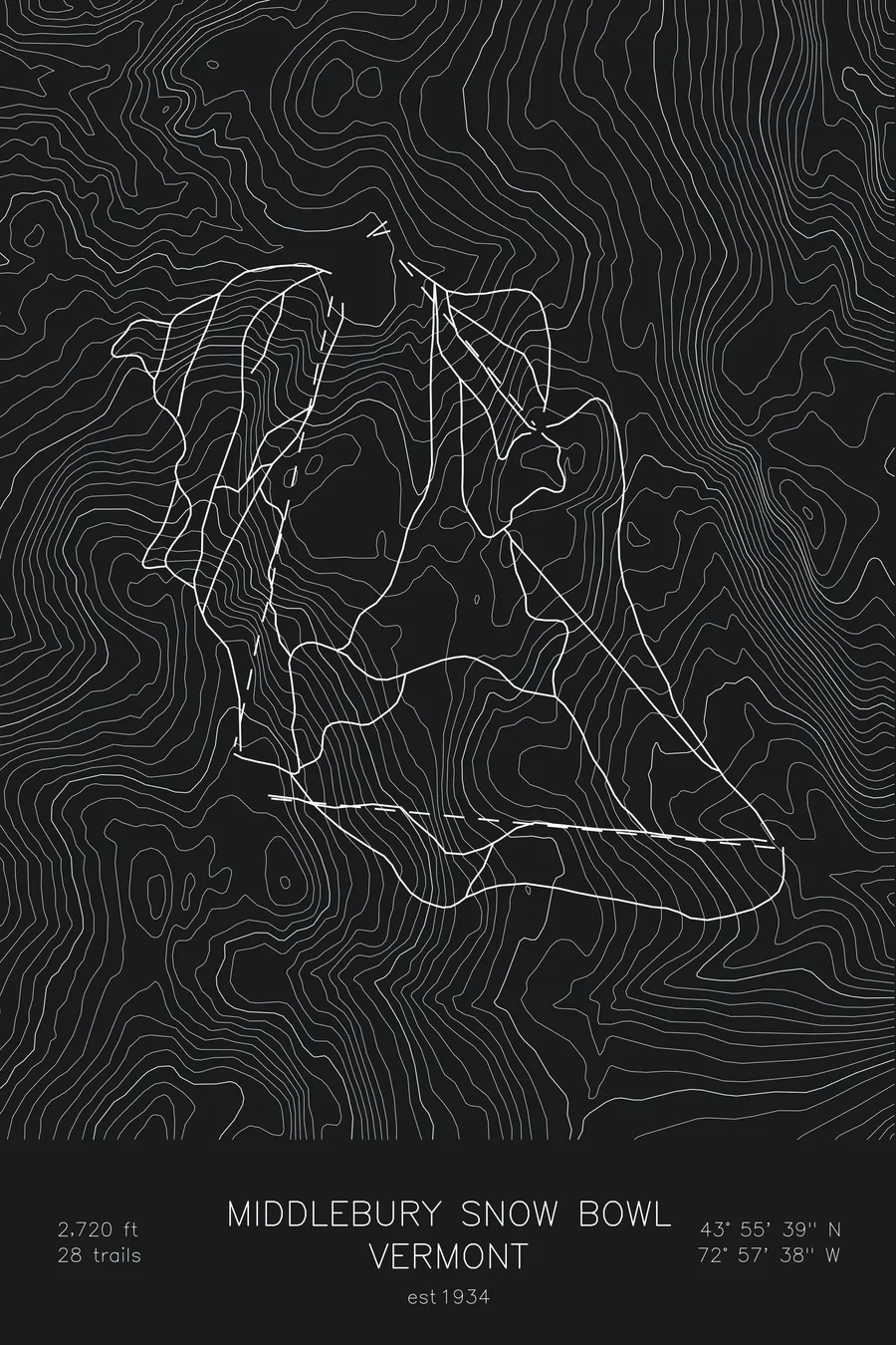
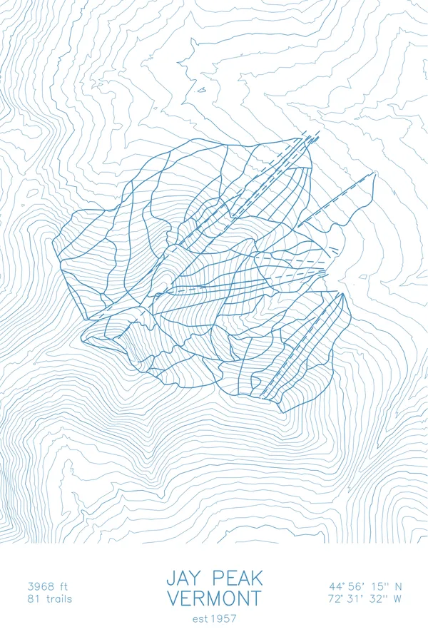
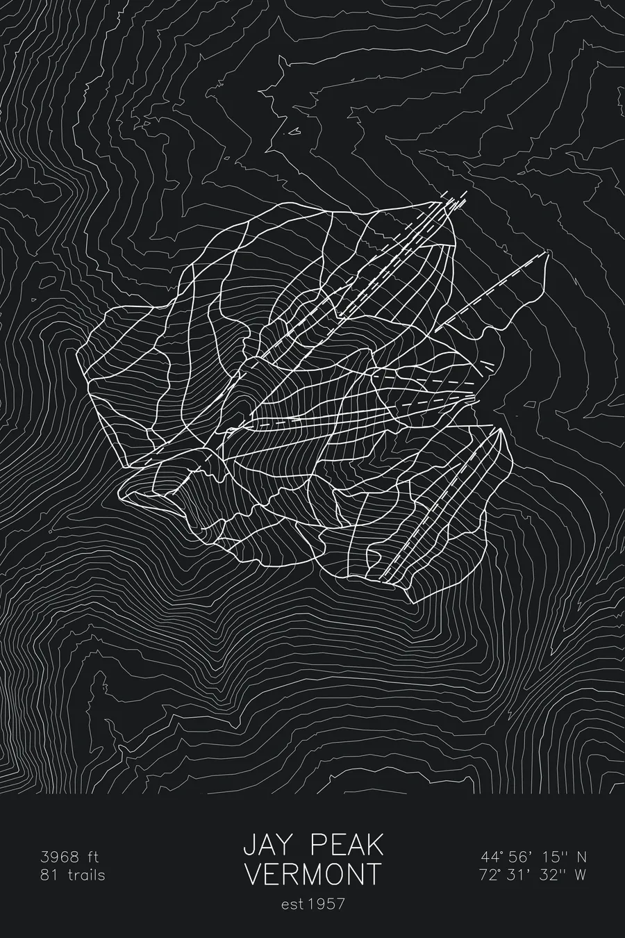
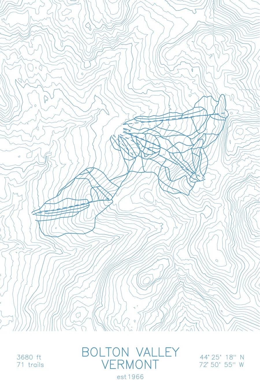
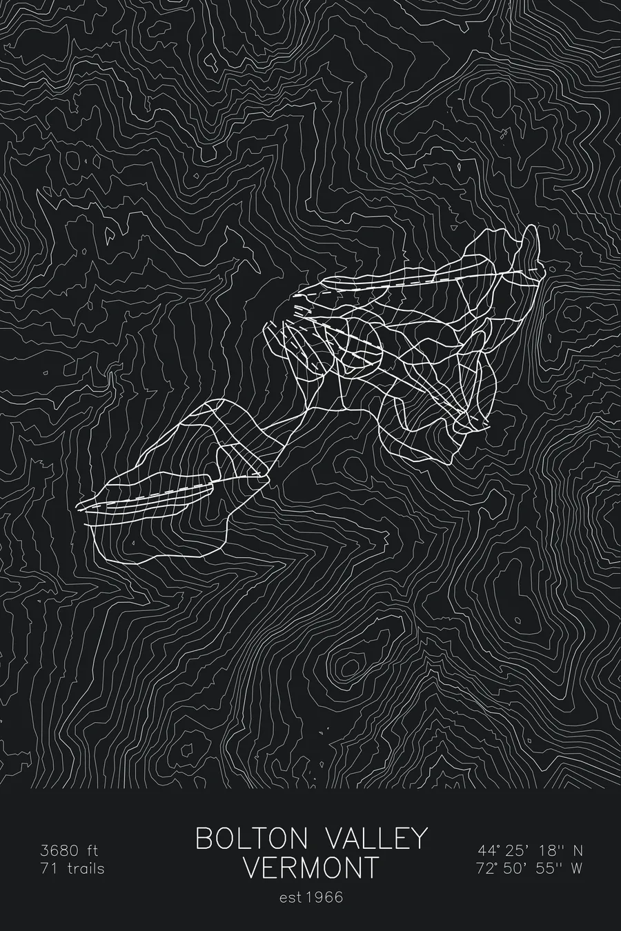
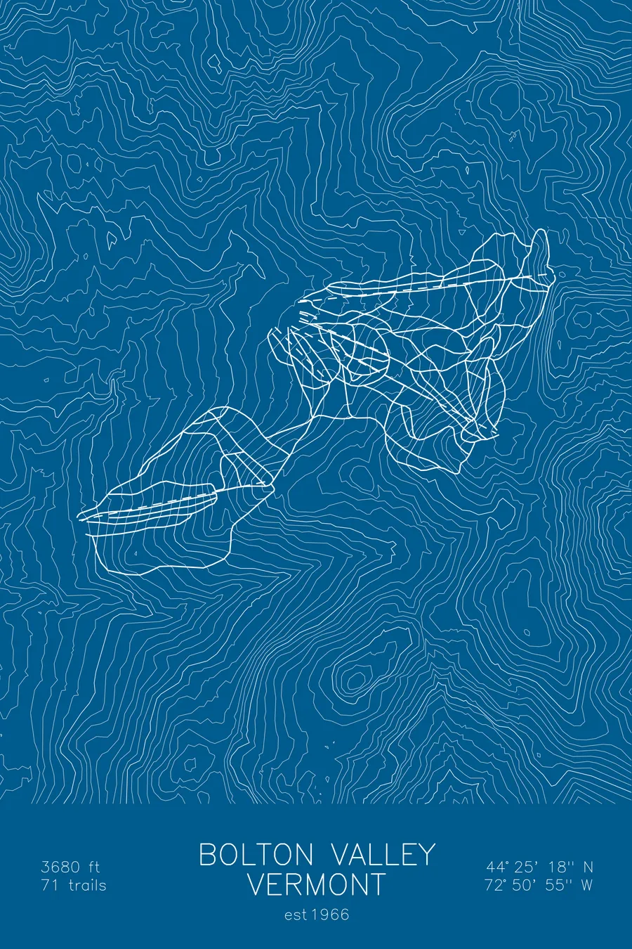
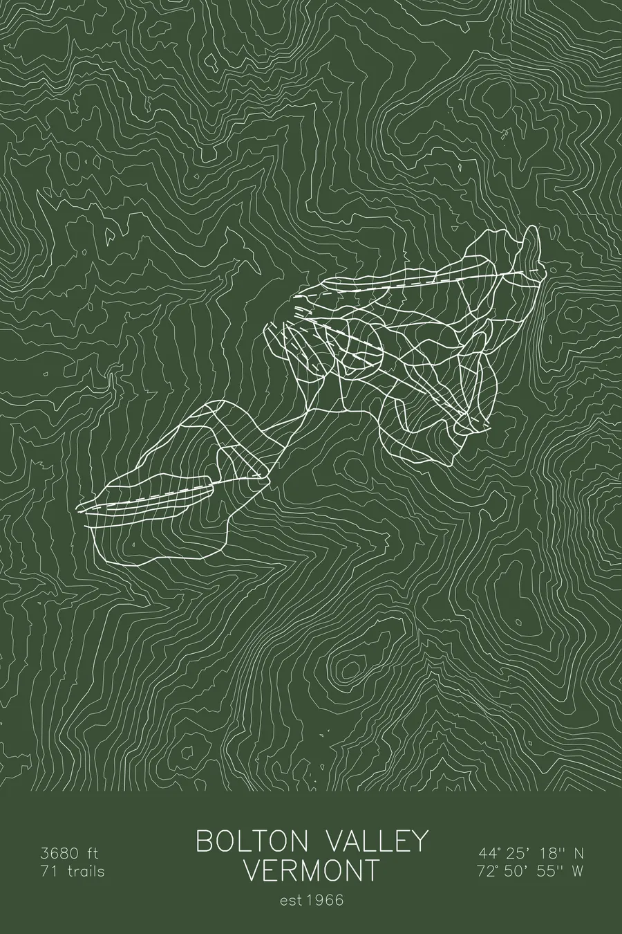
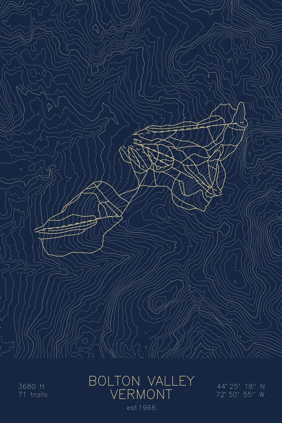
A topographic ski map of Bolton Valley, Vermont, with the resort's runs and lifts drawn over real terrain in a minimalist contour-line design.
Built in under eight months in 1966 by 29-year-old Ralph DesLauriers on his father's timberland.
$63
Ink & paper: Arctic White
Size: 12×18"
+Personalize this map
+ Details
- 12 × 18 inches
- Drawn on 98 lb (160 gsm) archival cotton paper
- Precision technical pens and archival inks
- Signed and dated on the back
- Ships flat, protected, ready to frame
Each map begins with elevation data and is drawn by a pen plotter in our Vermont studio. Mechanical precision, plus the texture and small imperfections of real ink on paper.
Off the screen
In real rooms



















+ About this map
Bolton Valley went from standing timber to operating ski resort in under eight months. In May 1966, 29-year-old Ralph DesLauriers began cutting a 4.5-mile access road into 8,250 acres his father, a regional manager for A&P grocery stores, had bought from a lumber company; by mid-December three chairlifts, nine trails, a base lodge, and 24 hotel rooms were open for business. DesLauriers lost the resort to the bank in 1997 and bought it back, with his children, in 2017. It sits high in the Green Mountains north of Burlington, with reliable snow, night skiing, and extensive backcountry access.
+ Map details
- Bolton Valley
- Vermont
- United States
- New England
- 3,150 ft / 960 m
- 44.4200N 72.8500W
- Ski resort trail map
- Original pen plot, archival ink on cotton paper
- 8 × 12 in · 12 × 18 in · 18 × 24 in
- Est. 1966. 71 trails
More maps