Vermont
Camel's Hump
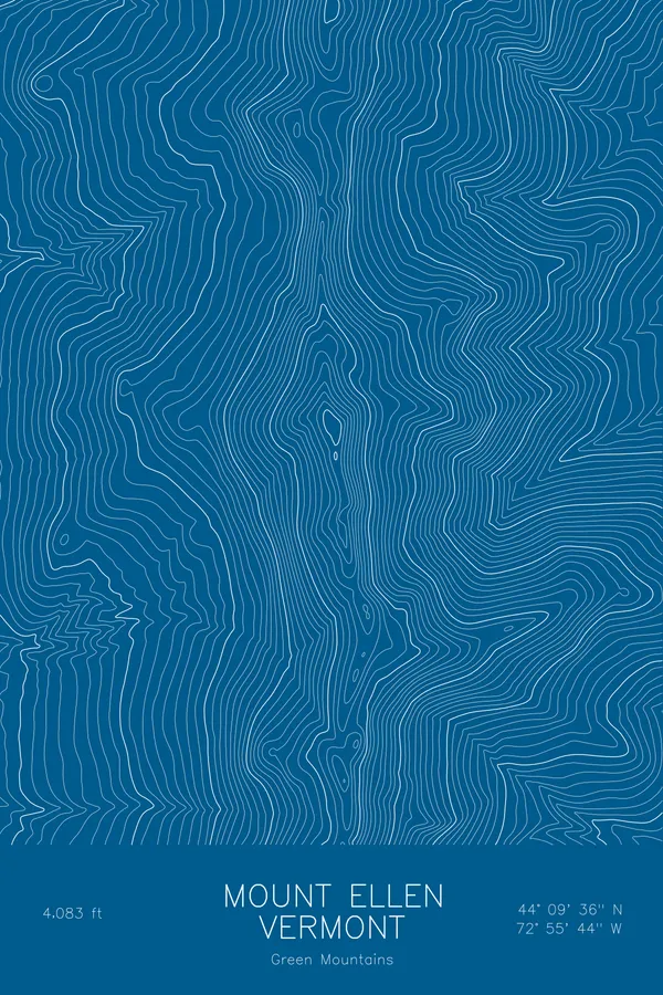
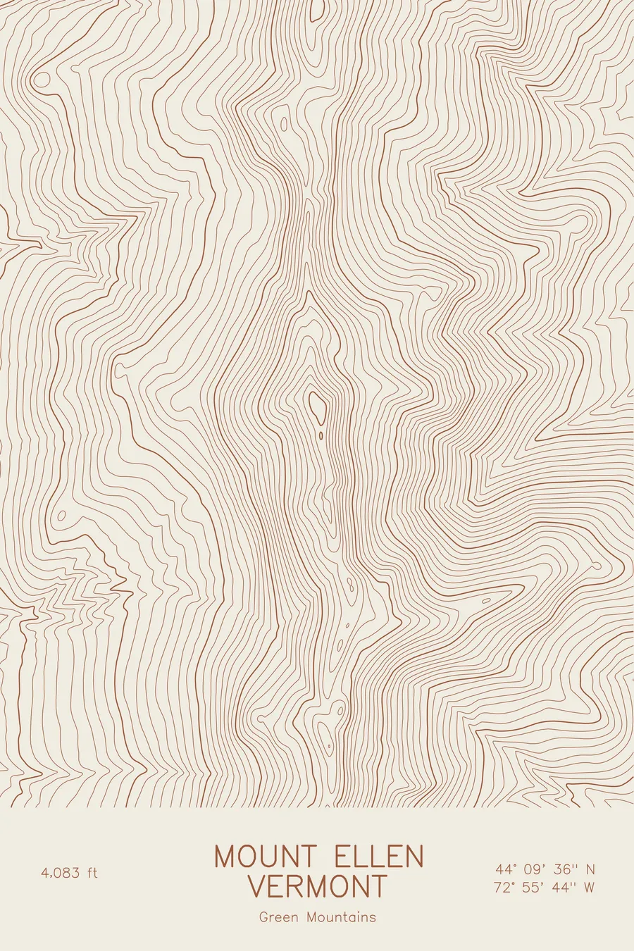
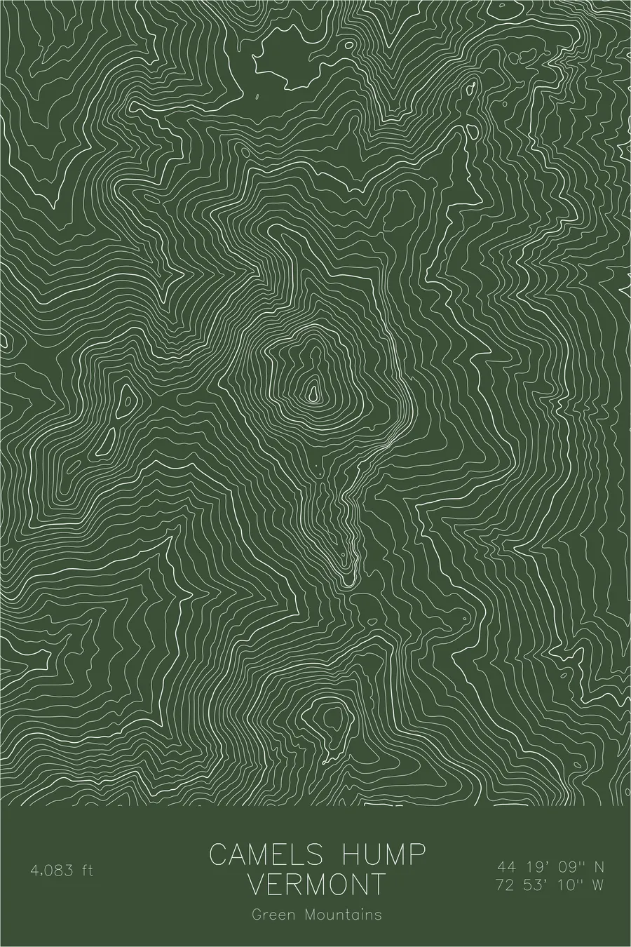
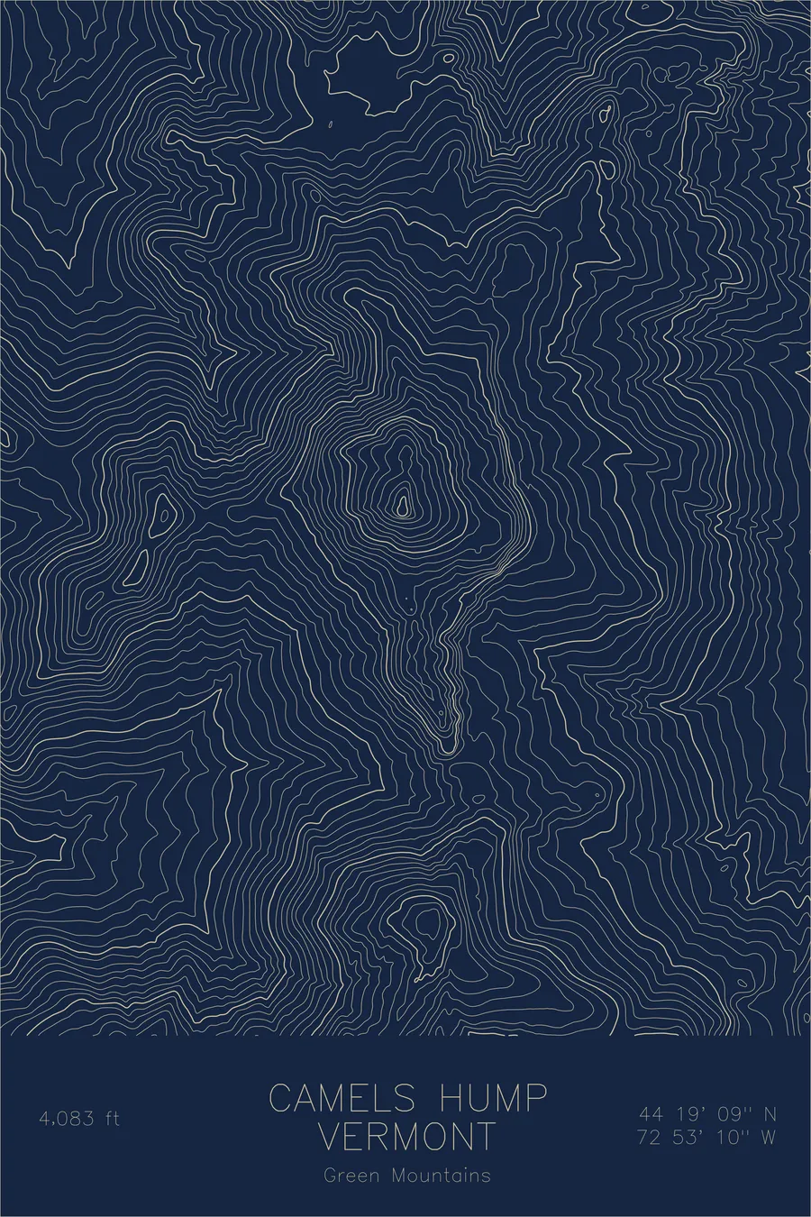
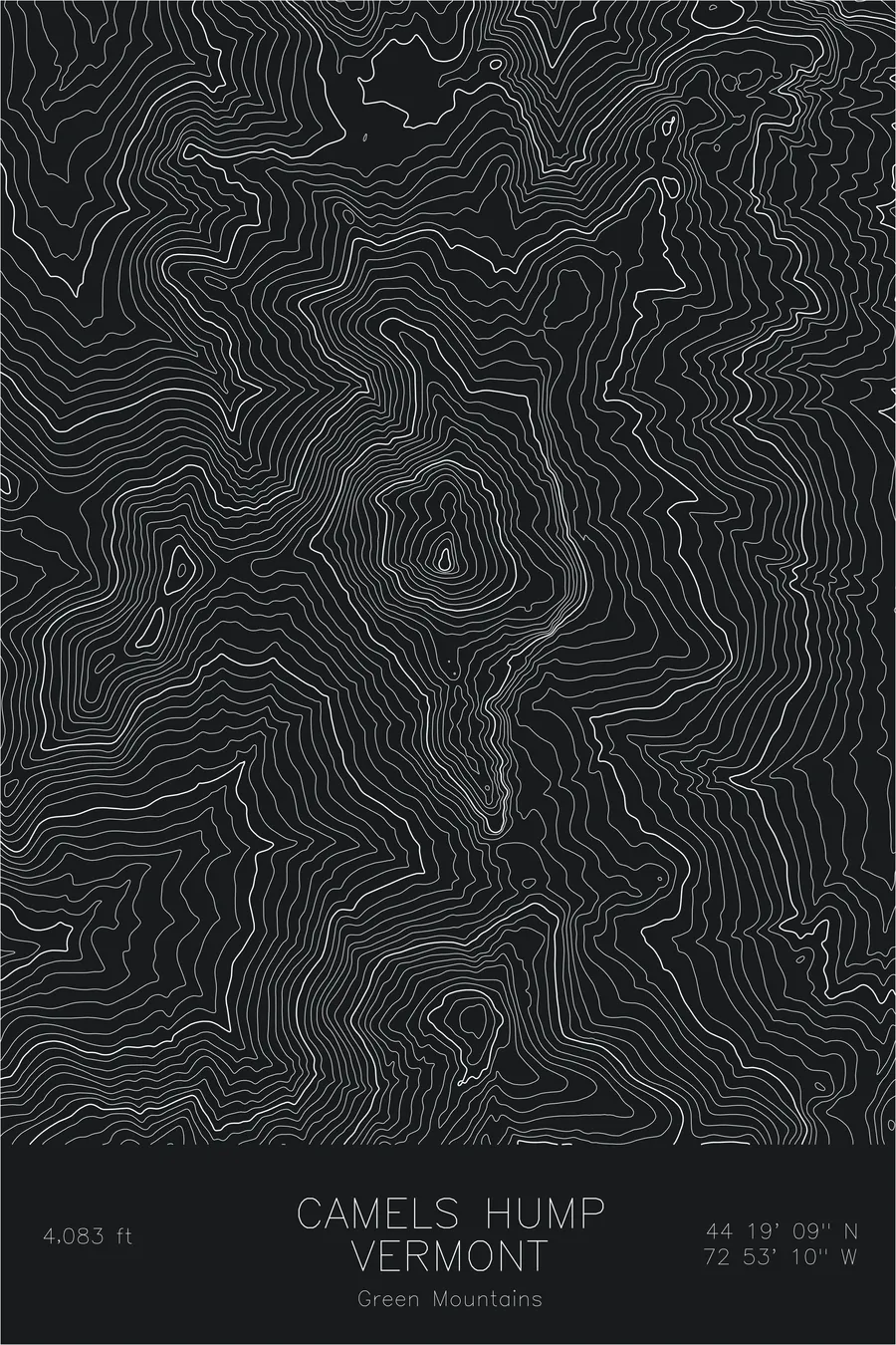
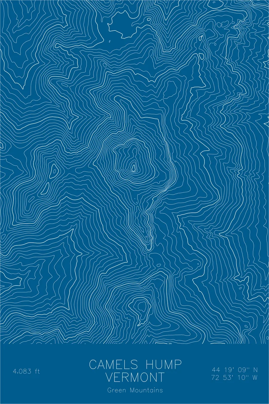
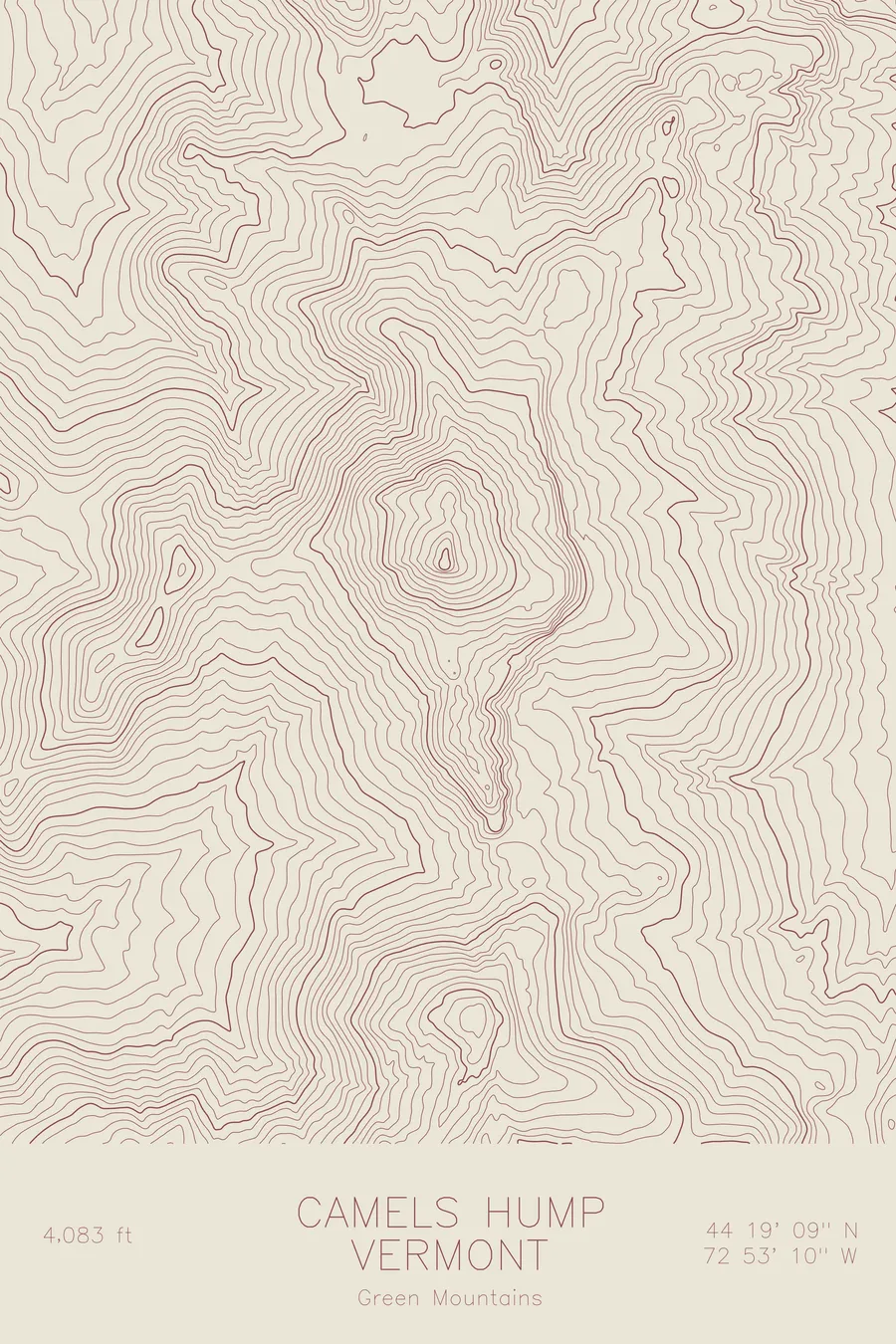
A pen-plotted topographic map of Camel's Hump in the Green Mountains, Vermont, drawn from real elevation contour data.
Camel's Rump on Ira Allen's 1798 map; Le Lion Couchant to Champlain's party in 1609.
$54
Ink & paper: Green
Size: 12×18"
+Personalize this map
+ Details
- 12 × 18 inches
- Drawn on 98 lb (160 gsm) archival cotton paper
- Precision technical pens and archival inks
- Signed and dated on the back
- Ships flat, protected, ready to frame
Each map begins with elevation data and is drawn by a pen plotter in our Vermont studio. Mechanical precision, plus the texture and small imperfections of real ink on paper.
Off the screen
In real rooms



















+ About this map
Ira Allen’s 1798 map labeled the mountain Camel’s Rump, which was at least more forthright than the name Samuel de Champlain’s party had given it in 1609, Le Lion Couchant, the resting lion. Camel’s Hump did not settle in as the standard name until around 1830, by which time the mountain had spent two centuries being compared to two animals, neither of them native to Vermont. It has since become the state’s most recognizable summit, visible from across the Champlain Valley, and at 4,083 feet the highest undeveloped peak in Vermont, one of only three places in the state where arctic-alpine plants survive.
This map follows the ridgeline that gives the mountain its name. The contour lines compress sharply on the western face, where the slope drops steeply toward Huntington. On the east side, the grade is more moderate and the lines spread into broader intervals as the terrain descends through hardwood forest toward the Winooski River valley. At the high point of the ridge, the contour lines close into tight concentric loops around the bare summit cone, the rocky knob that gives the mountain its unmistakable profile.
+ Map details
- Camel's Hump
- Vermont
- United States
- Green Mountains
- Northeast
- 4,083 ft / 1,244 m
- 44.3198N 72.8862W
- Mountain topographic map
- Original pen plot, archival ink on cotton paper
- 8 × 12 in · 12 × 18 in · 18 × 24 in
- Vermont's most iconic summit profile and highest undeveloped peak in the state
More maps