New York
Chautauqua Lake
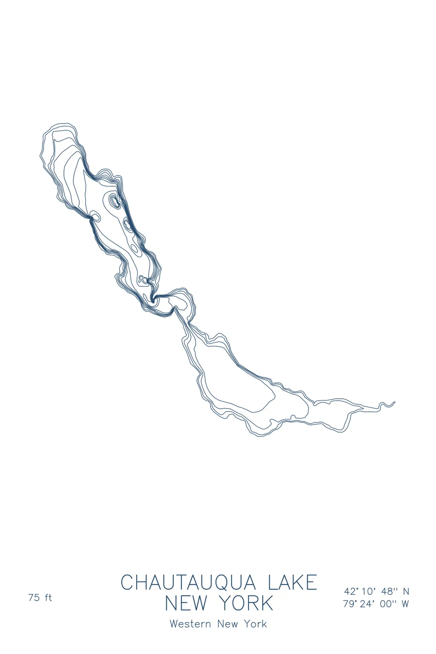
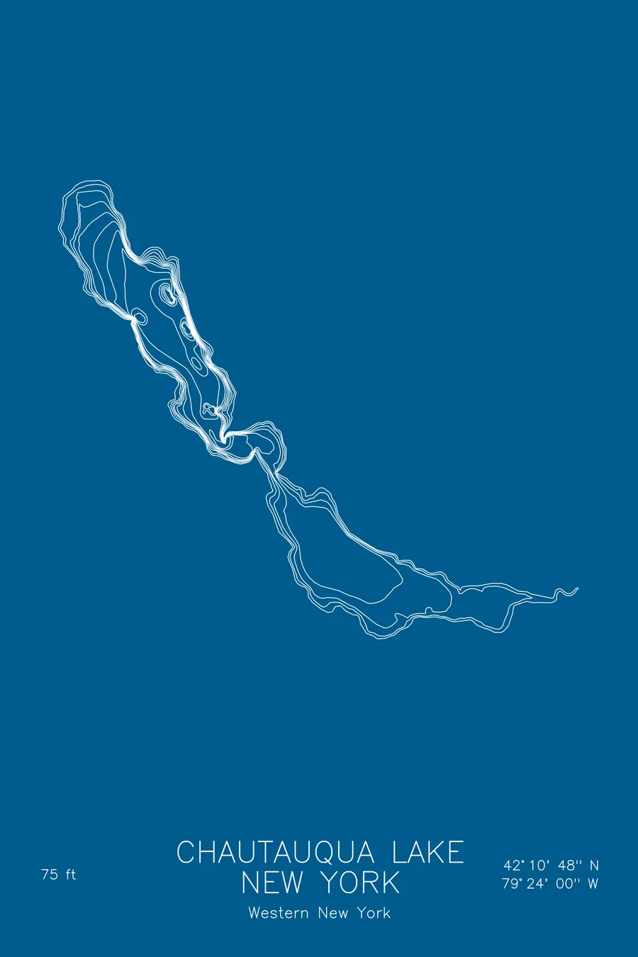
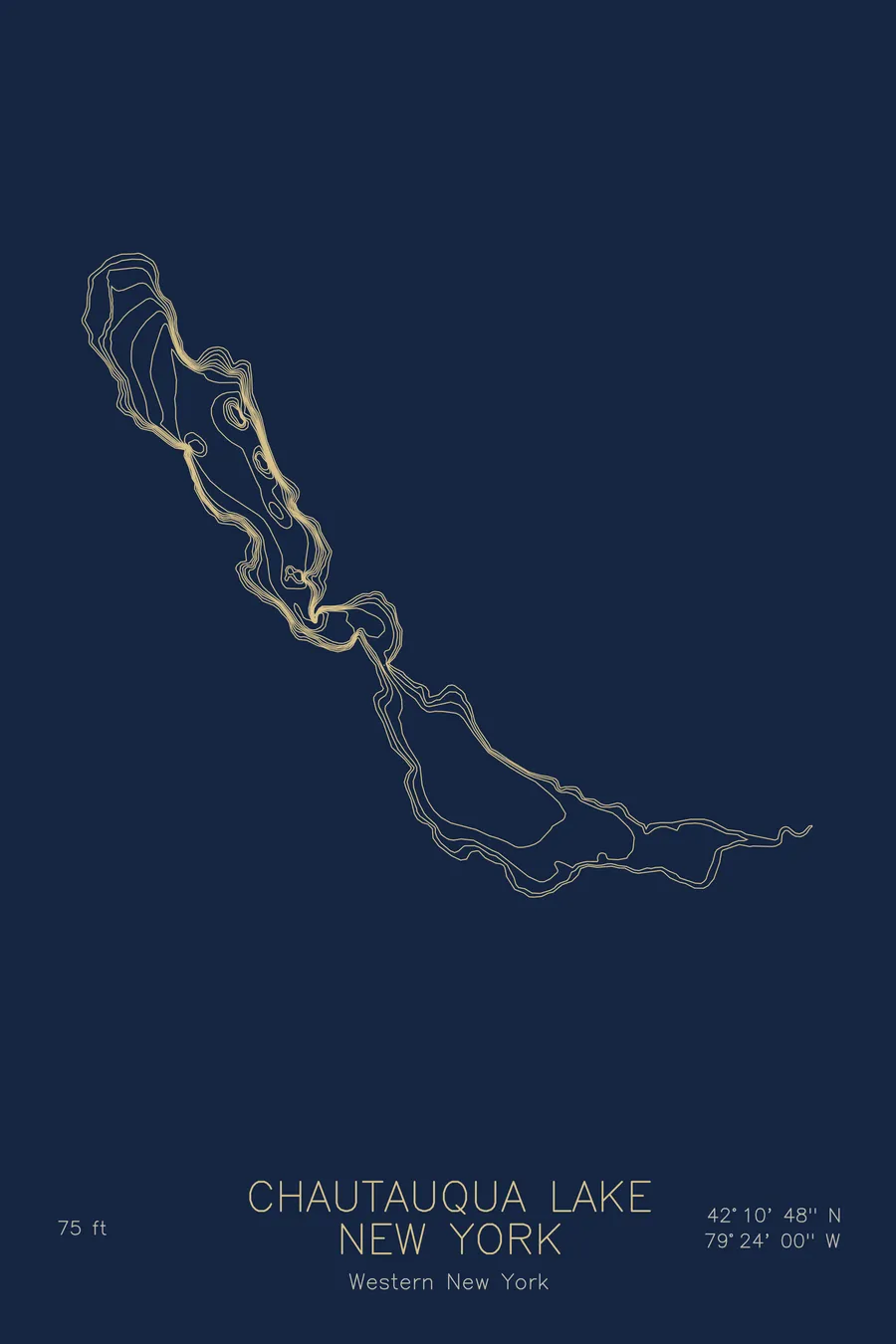
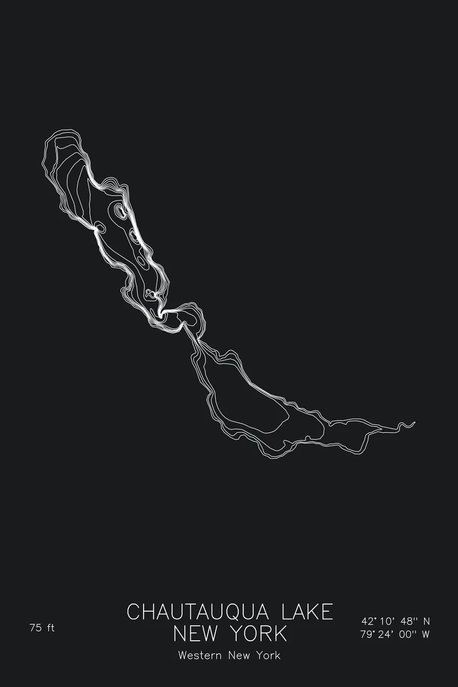
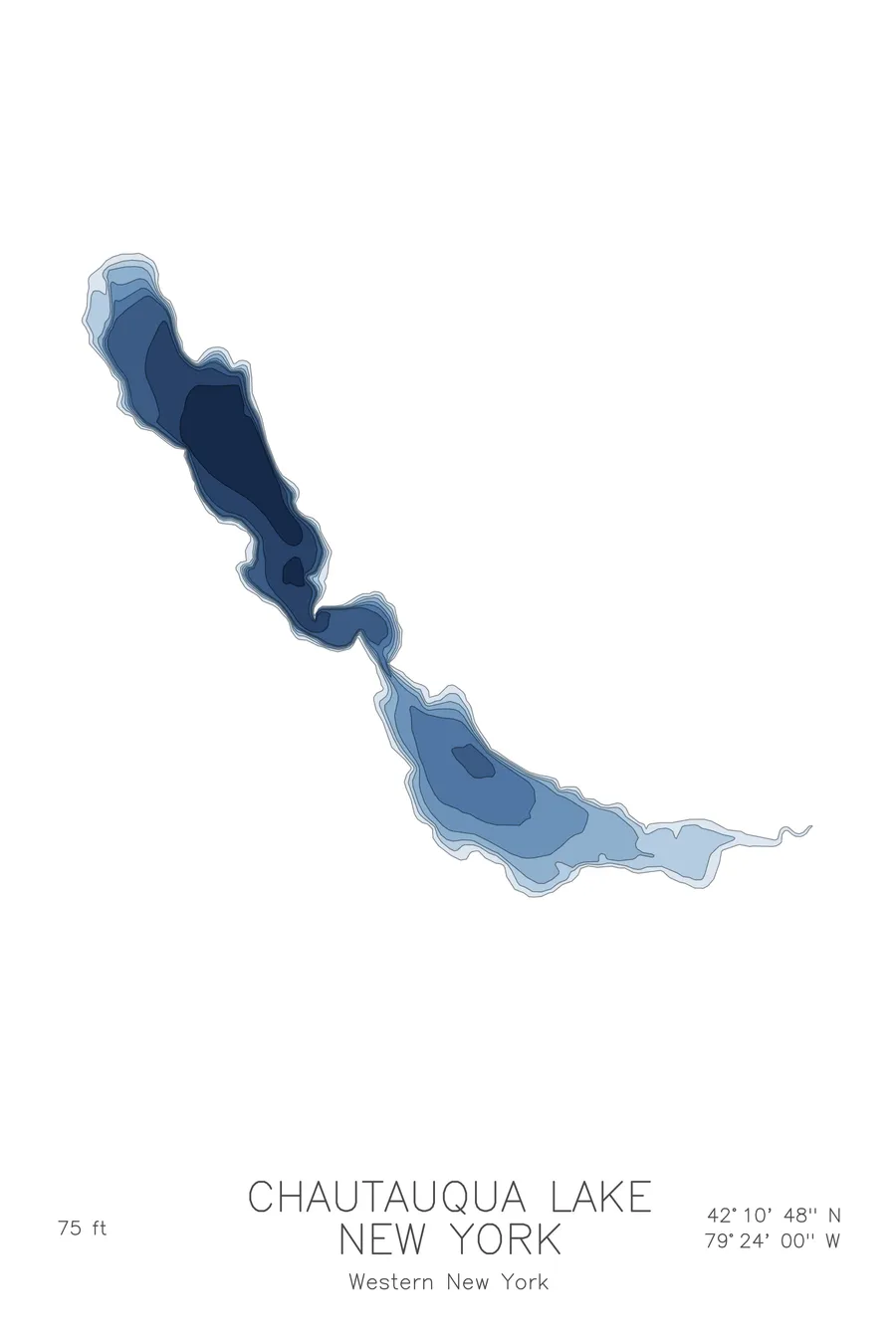
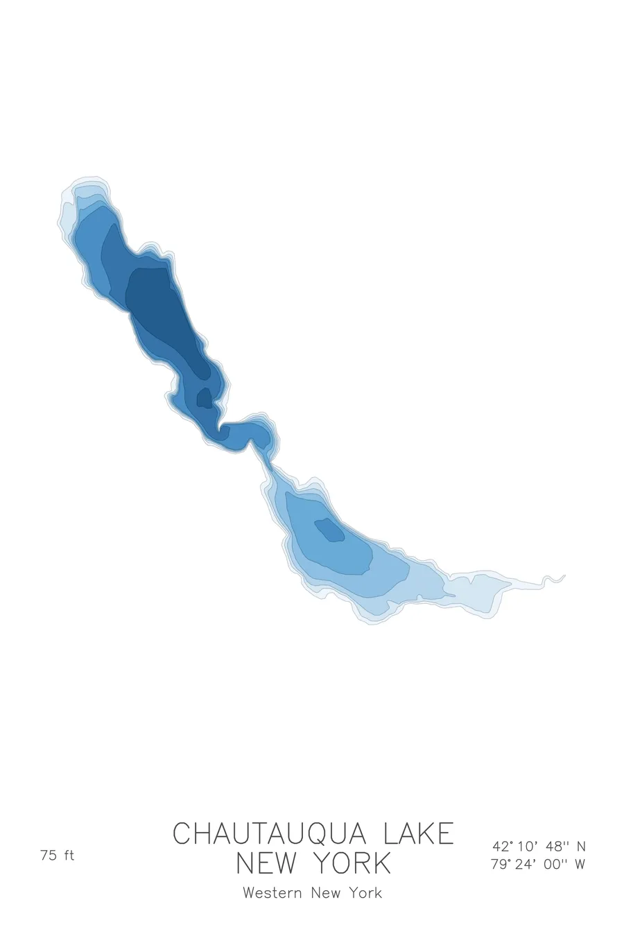
A bathymetric depth map of Chautauqua Lake, New York, drawn from real lake survey data in a minimalist contour-line design.
A ferry has crossed the narrows at Bemus Point since 1811; it still runs.
$50
Ink & paper: Lake Blue
Size: 12×18"
+Personalize this map
+ Details
- 12 × 18 inches
- Drawn on 98 lb (160 gsm) archival cotton paper
- Precision technical pens and archival inks
- Signed and dated on the back
- Ships flat, protected, ready to frame
Each map begins with elevation data and is drawn by a pen plotter in our Vermont studio. Mechanical precision, plus the texture and small imperfections of real ink on paper.
Off the screen
In real rooms



















+ About this map
In 1811, the crossing at the narrows of Chautauqua Lake was about 1,000 feet by rowed log raft; the way around was a 23-mile trip on poorly cleared trails that took 3 to 5 days. One of the first official acts of the newly incorporated Chautauqua County was accordingly to license Thomas Bemus to run a ferry, which must rank among the easier calls in the history of local government. A ferry still crosses at the same spot. The lake itself stretches seventeen miles through the hills of western New York, pinched nearly in two at Bemus Point, and reaches 75 feet in its northern basin.
The depth contours show a lake with two distinct personalities. The map traces a deep, steep sided northern basin, its lines stacked close along the shore, giving way at the narrows to a broad southern basin that is shallow, warm, and weedy from end to end. That split, drawn plainly in the contours, is what every angler and sailor on the lake already knows: two lakes sharing one shoreline, joined at a single narrow waist.
+ Map details
- Chautauqua Lake
- New York
- United States
- Northeast
- 42.1800N 79.4000W
- Lake bathymetric depth map
- Original pen plot, archival ink on cotton paper
- 8 × 12 in · 12 × 18 in · 18 × 24 in
- Max depth 75 ft
More maps