Italy
Corno Grande
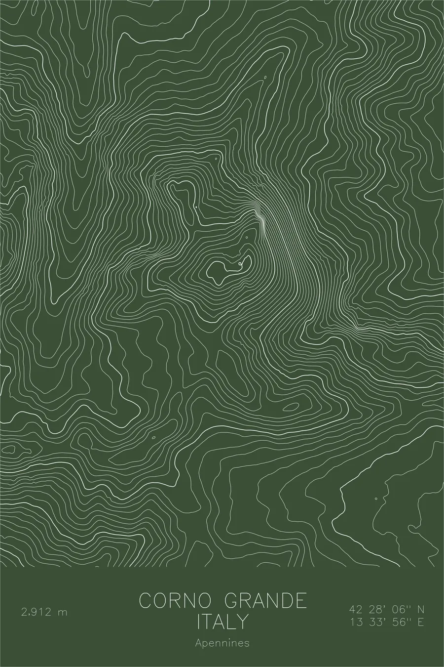
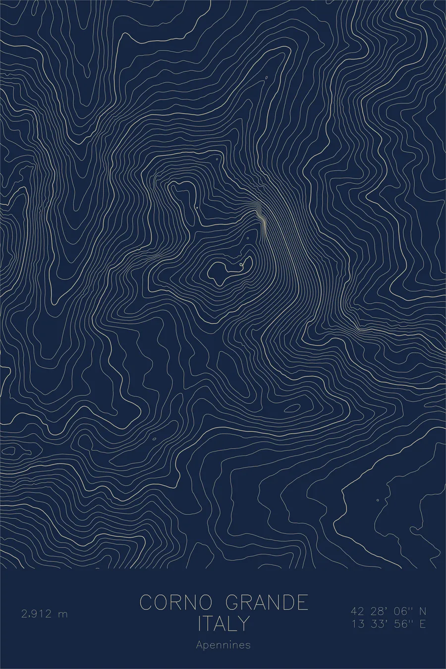
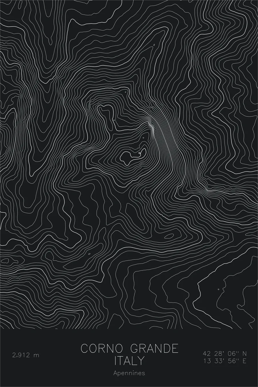
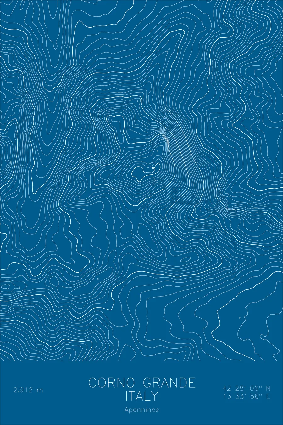
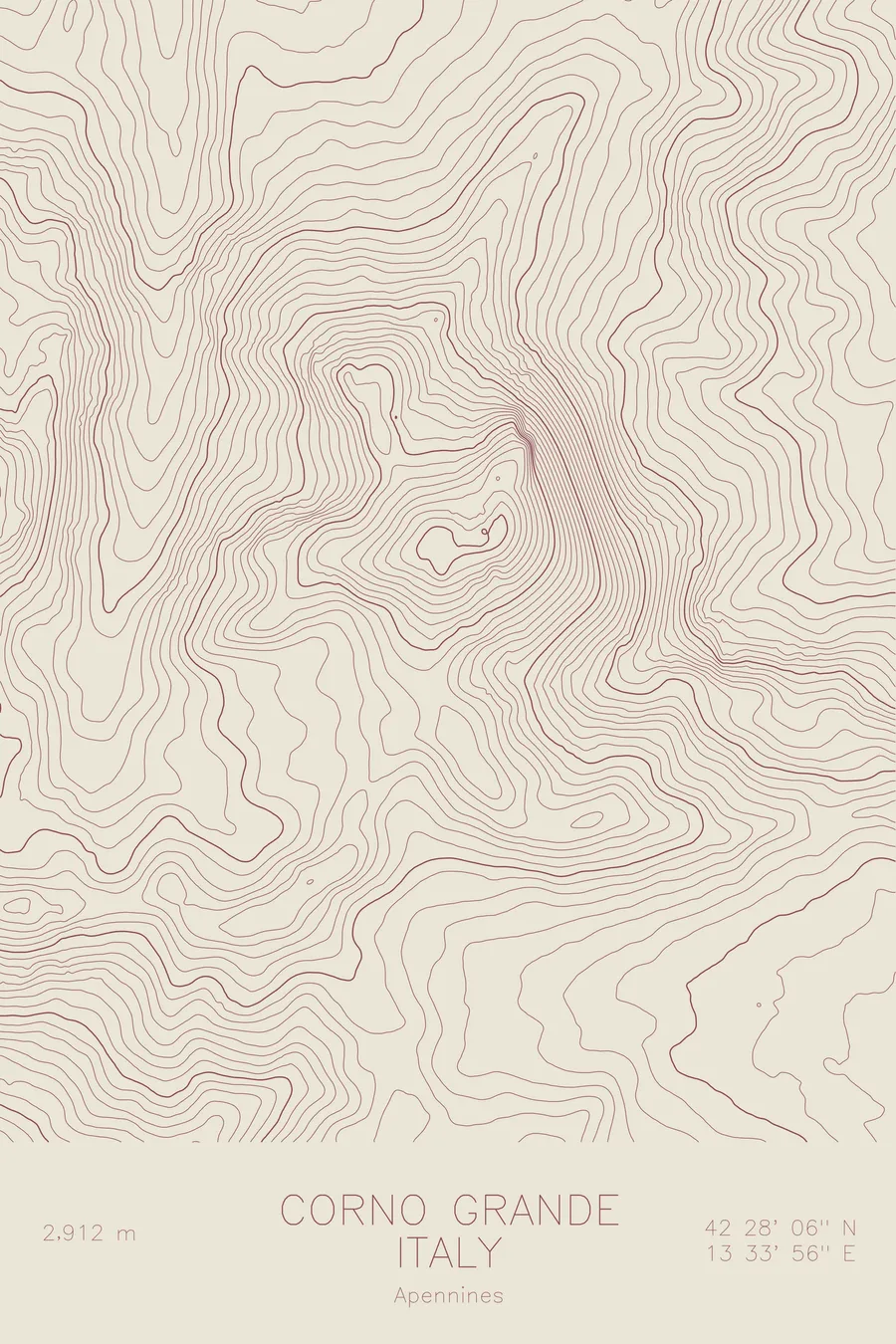
A pen-plotted topographic map of Corno Grande in the Apennines, Italy, drawn from real elevation contour data.
Highest peak in the Apennines. 9,554 feet above sea level.
$54
Ink & paper: Black
Size: 12×18"
+Personalize this map
+ Details
- 12 × 18 inches
- Drawn on 98 lb (160 gsm) archival cotton paper
- Precision technical pens and archival inks
- Signed and dated on the back
- Ships flat, protected, ready to frame
Each map begins with elevation data and is drawn by a pen plotter in our Vermont studio. Mechanical precision, plus the texture and small imperfections of real ink on paper.
Off the screen
In real rooms



















+ About this map
Corno Grande rises 9,554 feet in the Gran Sasso massif of central Italy, the highest peak in the Apennines. It is a limestone mountain with an alpine character rare this far south in Europe, and its northern cirque shelters the Calderone, long counted among the southernmost glaciers on the continent. Below the summit spreads Campo Imperatore, the vast high plateau often called Italy’s Little Tibet.
This map captures the contrast between plateau and peak. Across the south, the contour lines relax into the wide, gentle expanse of Campo Imperatore. Around the summit they tighten abruptly into the rock walls and cirques of the massif, tracing the horseshoe of ridges that encloses the Calderone basin and the neighboring tower of Corno Piccolo, a compact knot of steep terrain rising from the rolling Apennine highlands.
+ Map details
- Corno Grande
- Italy
- Apennines
- Apennines
- 9,554 ft / 2,912 m
- 42.4683N 13.5656E
- Mountain topographic map
- Original pen plot, archival ink on cotton paper
- 8 × 12 in · 12 × 18 in · 18 × 24 in
- Highest peak in the Apennines
More maps