Switzerland
Eiger
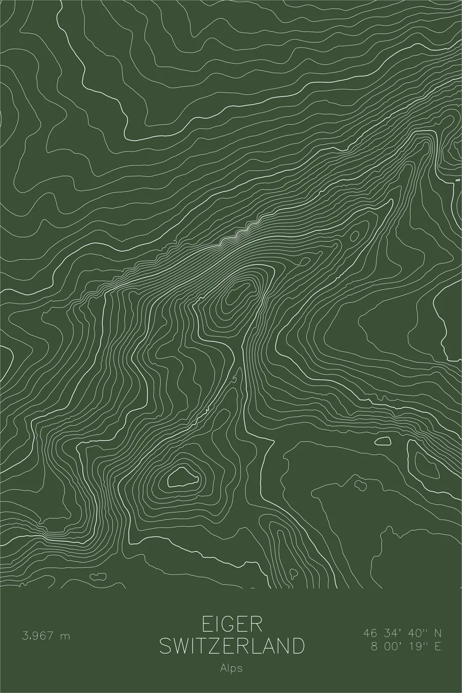
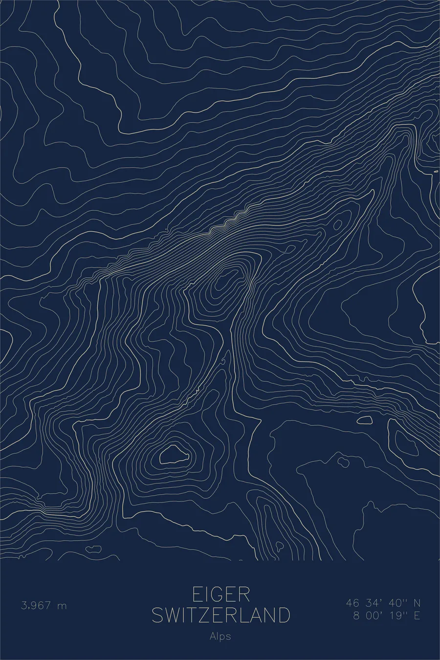
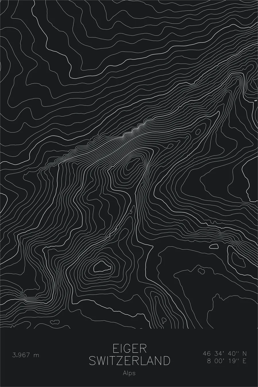
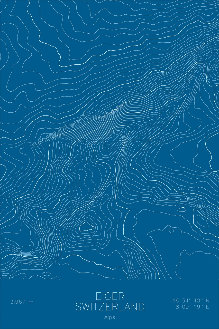
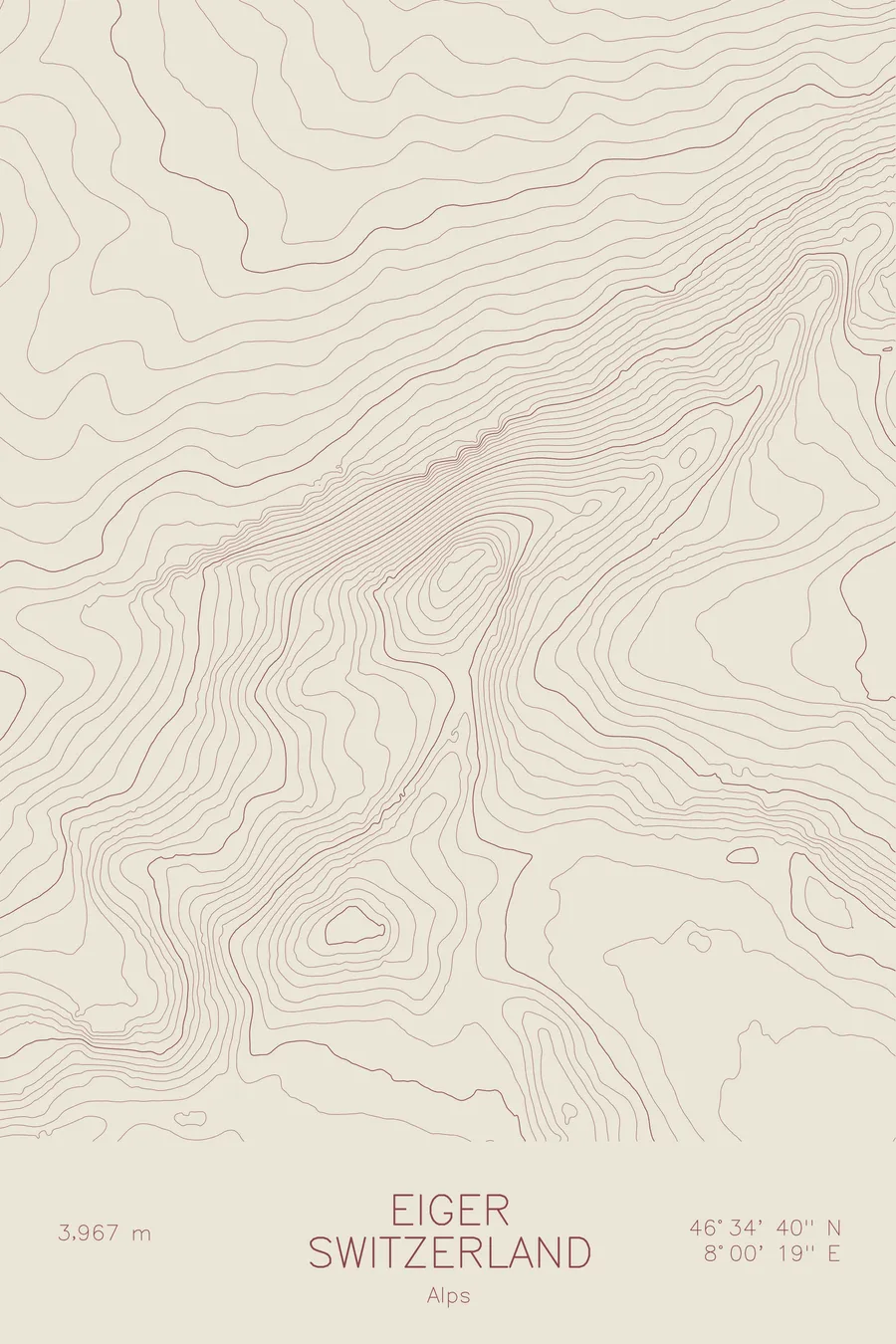
A pen-plotted topographic map of Eiger in the Alps, Switzerland, drawn from real elevation contour data.
A railway station with observation windows has sat inside the north face since 1903.
$54
Ink & paper: Black
Size: 12×18"
+Personalize this map
+ Details
- 12 × 18 inches
- Drawn on 98 lb (160 gsm) archival cotton paper
- Precision technical pens and archival inks
- Signed and dated on the back
- Ships flat, protected, ready to frame
Each map begins with elevation data and is drawn by a pen plotter in our Vermont studio. Mechanical precision, plus the texture and small imperfections of real ink on paper.
Off the screen
In real rooms



















+ About this map
There is a railway station inside the Eiger’s north face. Eigerwand station opened in 1903 on the Jungfraubahn line tunneled through the mountain, with observation windows carved into the wall itself, which meant that by the 1930s tourists could watch from behind glass as the mile-high Nordwand turned back attempt after attempt at the cost of many lives. During the July 1936 disaster, guides climbed out through a gallery window to attempt a rescue. Toni Kurz, the last survivor of four, died on July 22 hanging a few meters above them, unable to force the knot joining two ropes through his carabiner. The face was finally climbed in 1938.
This map shows the wall in plan view. Along the northern side the contour lines compress into a nearly solid band, recording roughly 6,000 feet of relief between the pastures and the summit. The lines trace the Mittellegi Ridge running northeast from the summit and open toward the glaciers and saddles that connect the Eiger to the Mönch and the high ice of the Jungfrau region.
+ Map details
- Eiger
- Switzerland
- Alps
- Alps
- 13,015 ft / 3,967 m
- 46.5778N 8.0053E
- Mountain topographic map
- Original pen plot, archival ink on cotton paper
- 8 × 12 in · 12 × 18 in · 18 × 24 in
- Infamous Nordwand (North Face)
More maps