Austria
Kitzbühel
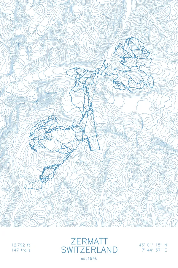
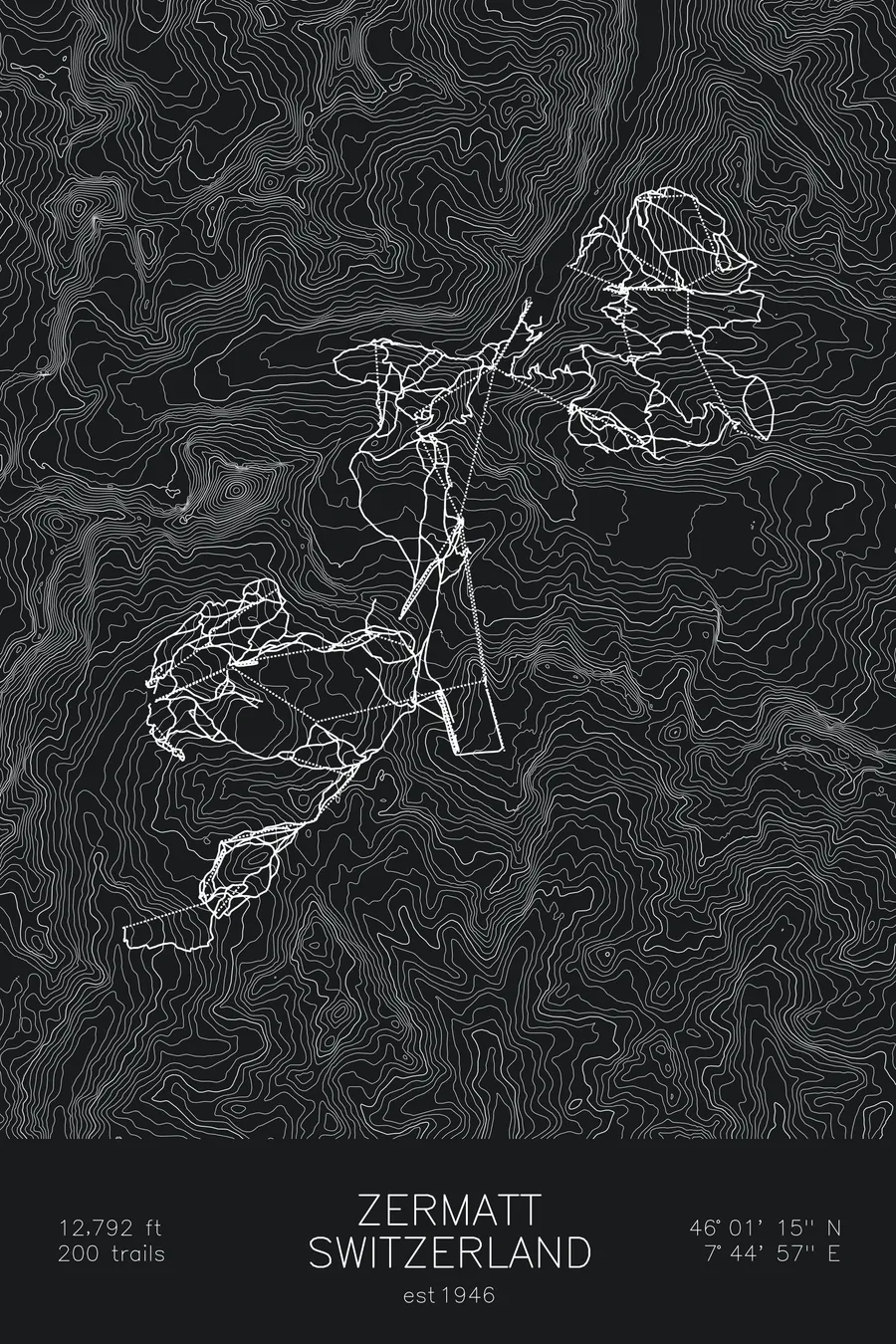
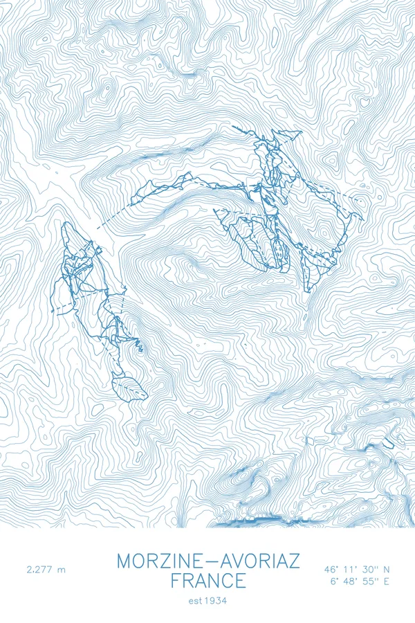
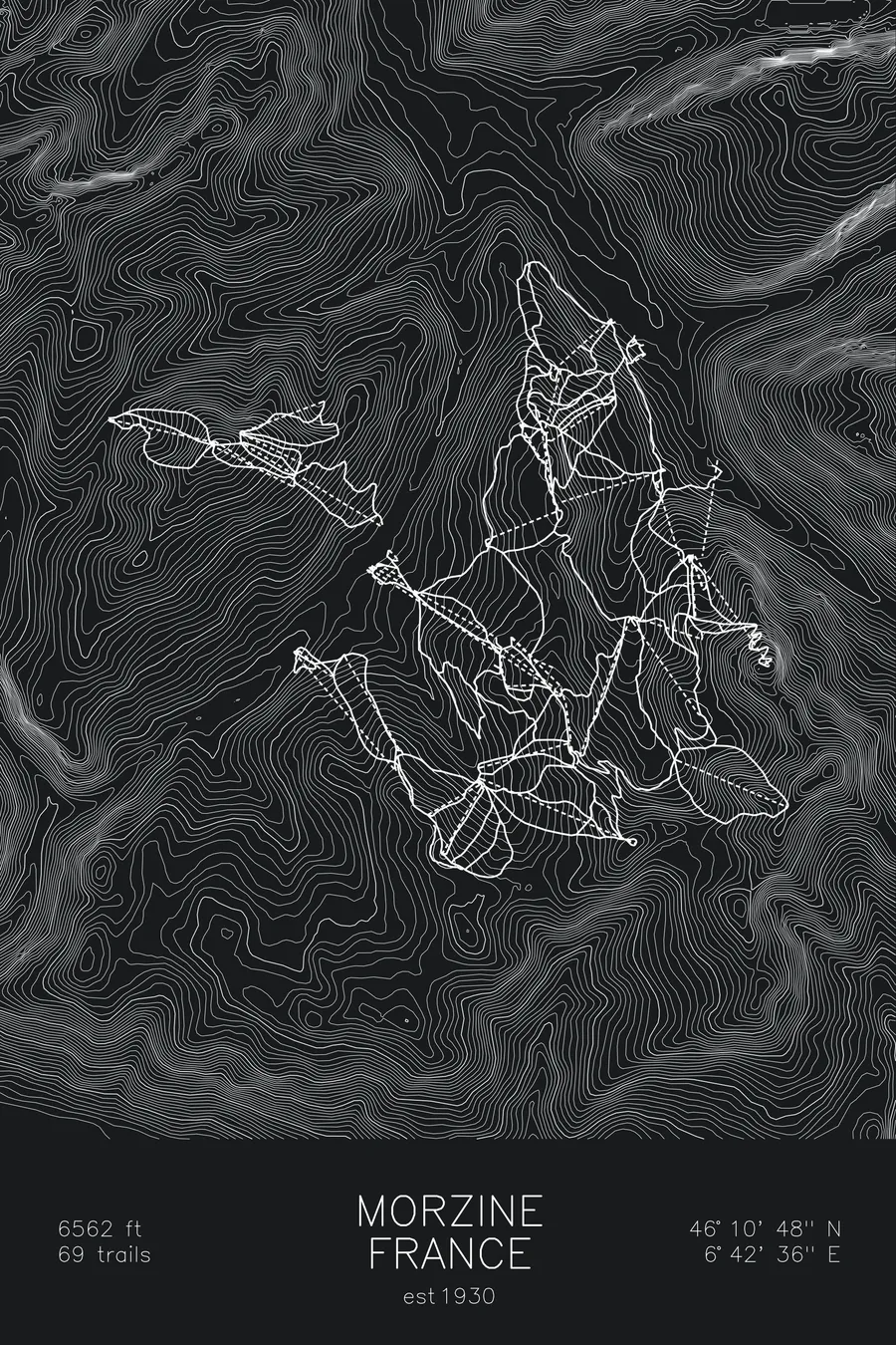
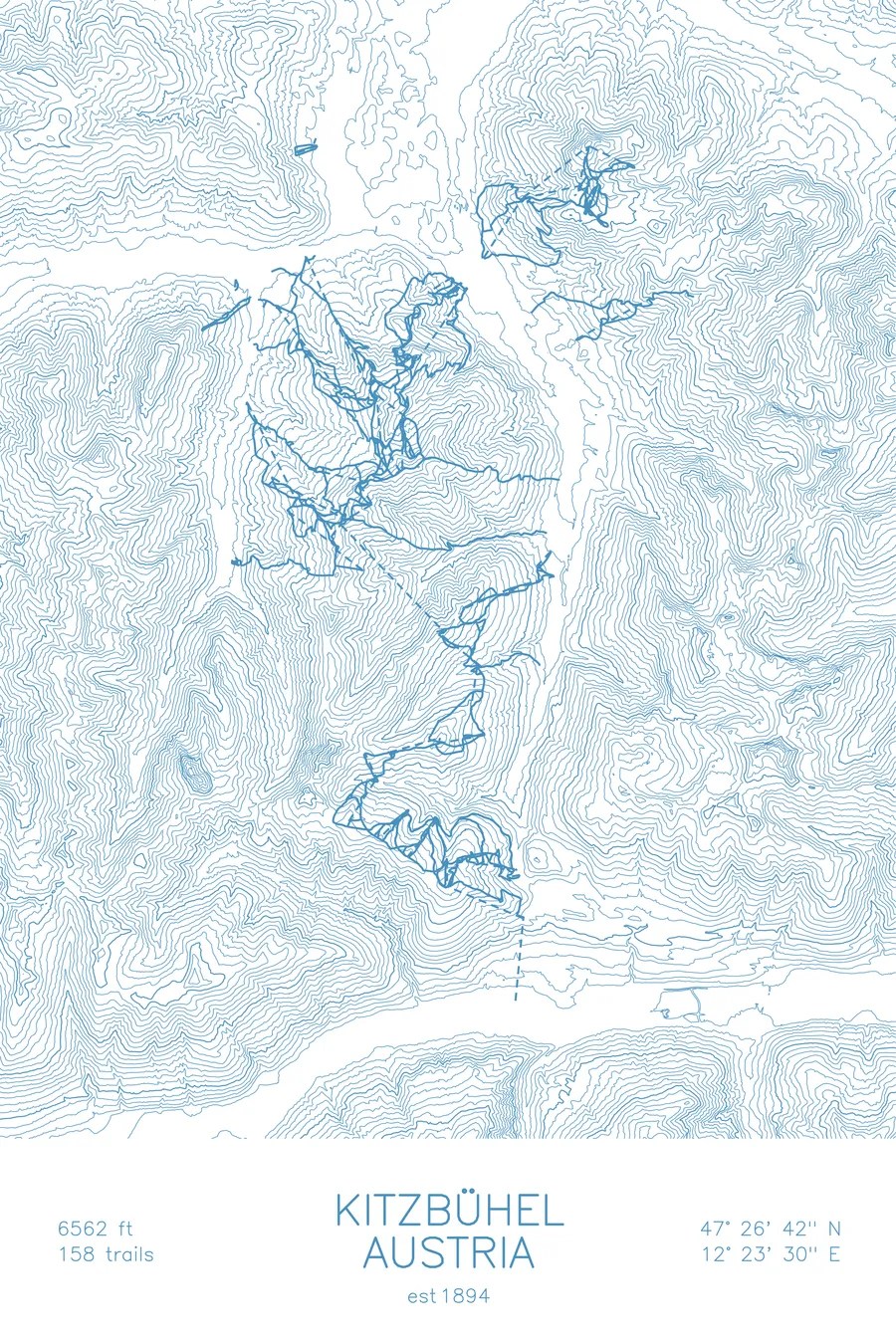
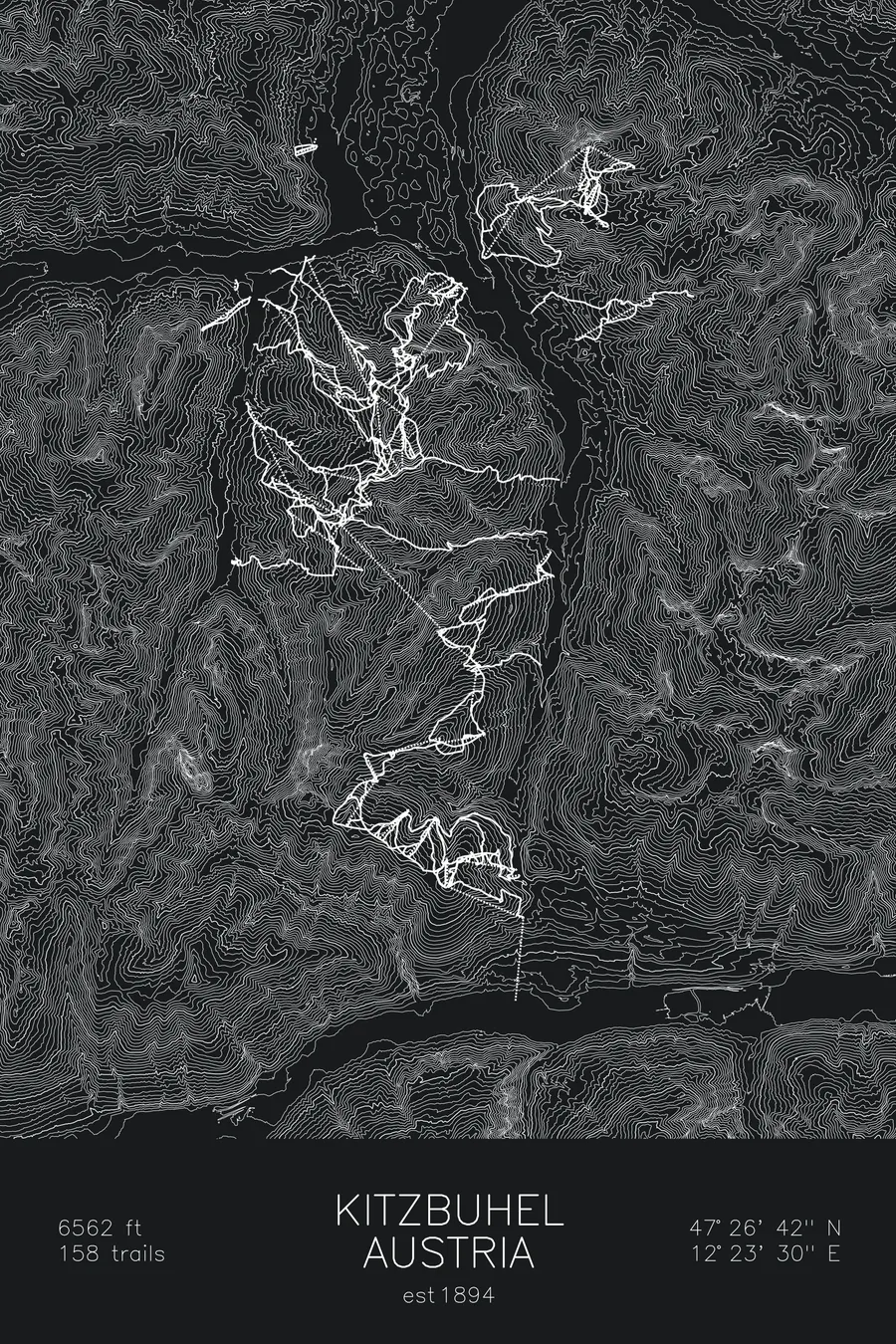
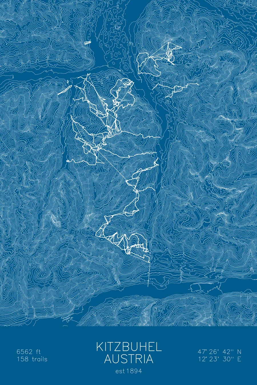
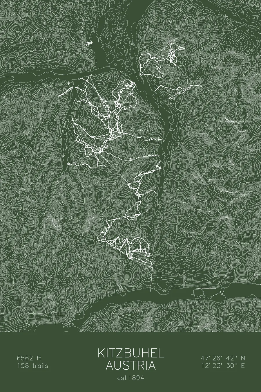
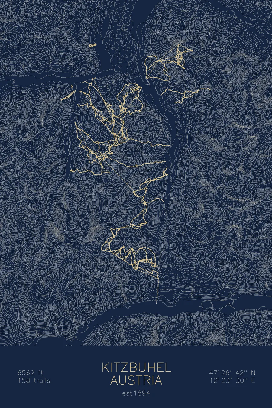
A topographic ski map of Kitzbühel, Austria, with the resort's runs and lifts drawn over real terrain in a minimalist contour-line design.
Austria's first documented high-alpine ski descent, 1893, on a pair of skis mail-ordered from Norway.
$63
Ink & paper: Arctic White
Size: 12×18"
+Personalize this map
+ Details
- 12 × 18 inches
- Drawn on 98 lb (160 gsm) archival cotton paper
- Precision technical pens and archival inks
- Signed and dated on the back
- Ships flat, protected, ready to frame
Each map begins with elevation data and is drawn by a pen plotter in our Vermont studio. Mechanical precision, plus the texture and small imperfections of real ink on paper.
Off the screen
In real rooms



















+ About this map
Skiing came to Kitzbühel by mail order. In 1892 Franz Reisch, a future mayor of the town, read Fridtjof Nansen’s account of crossing Greenland on skis and sent to Norway for a 2.30-meter pair; on March 15, 1893 he rode them down the Kitzbüheler Horn, completing Austria’s first documented high-alpine ski descent. He published an account that November, considered the first alpine ski text, and had organized a ski race by 1895. The town has been racing ever since: each January it hosts the Hahnenkamm, whose downhill on the Streif remains the most feared course in ski racing.
Beyond the racecourse, 158 trails roll across the grassy Tyrolean ridgelines linking Kitzbühel with Kirchberg and the surrounding valleys, classic Austrian cruising terrain with the Wilder Kaiser on the horizon. The contour lines on this map trace those rounded ridges and the valley floor between them.
+ Map details
- Kitzbühel
- Austria
- Alps
- 6,562 ft / 2,000 m
- 47.4450N 12.3917E
- Ski resort trail map
- Original pen plot, archival ink on cotton paper
- 8 × 12 in · 12 × 18 in · 18 × 24 in
- Est. 1894. 158 trails
More maps