Arizona
Grand Canyon National Park
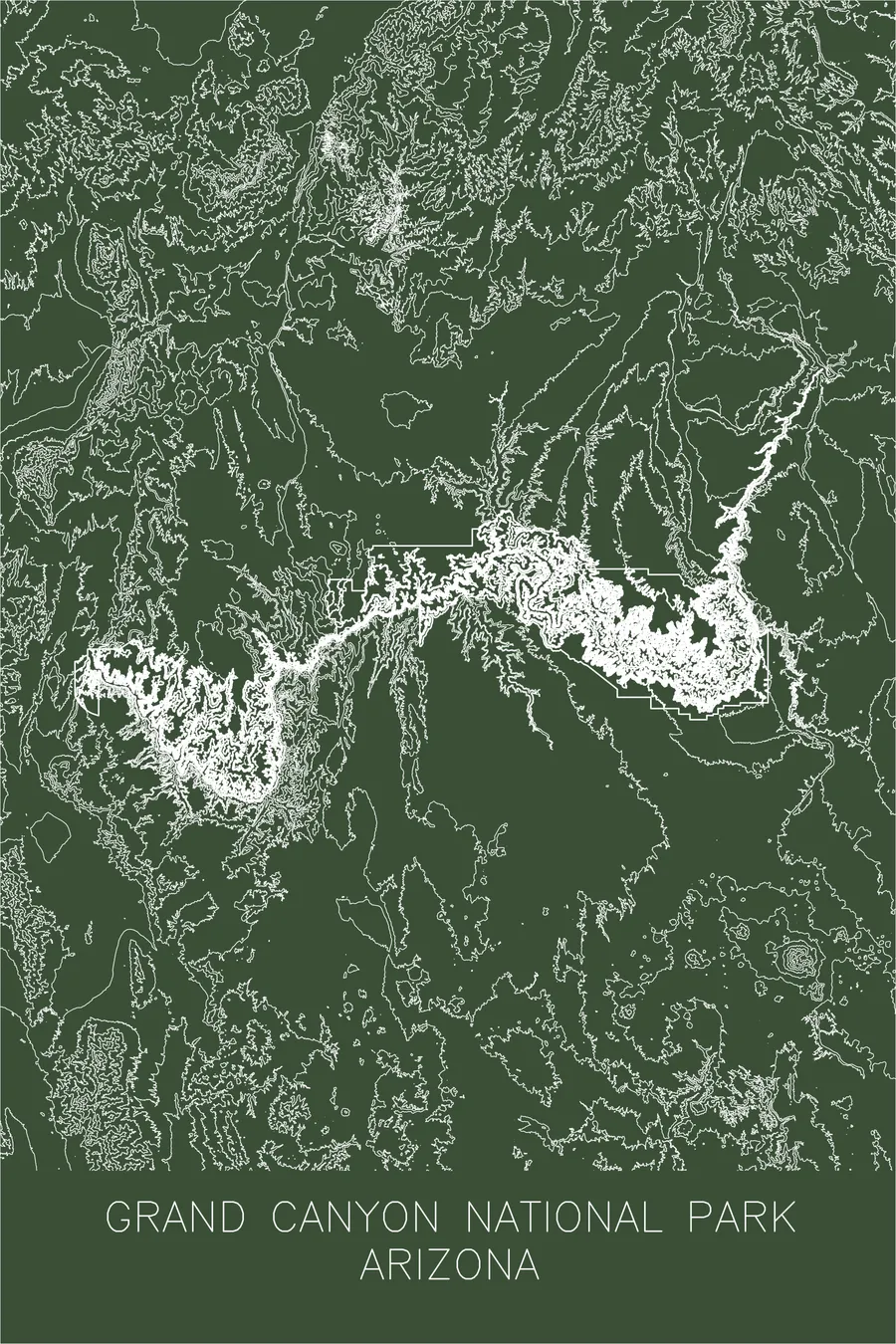
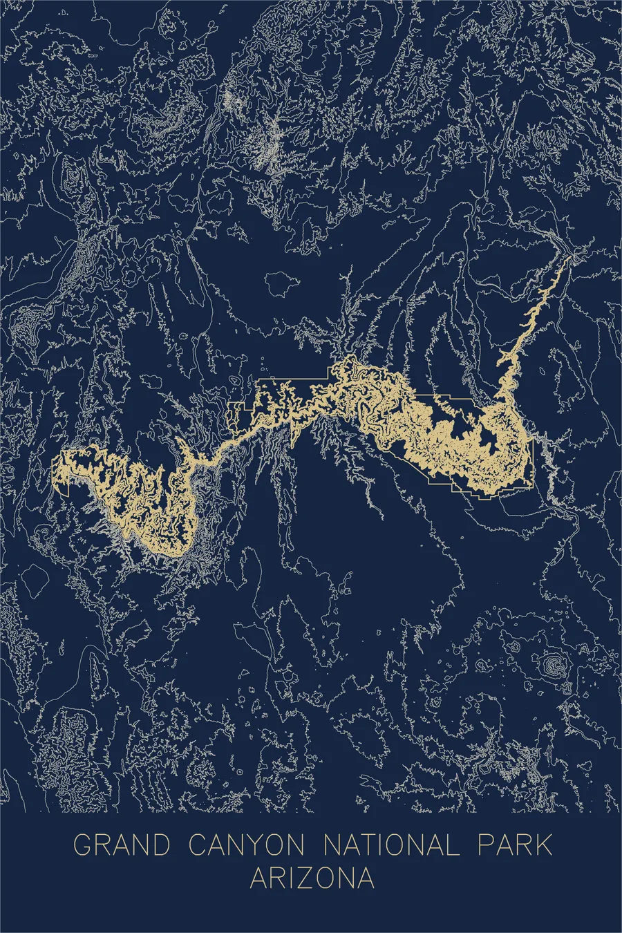
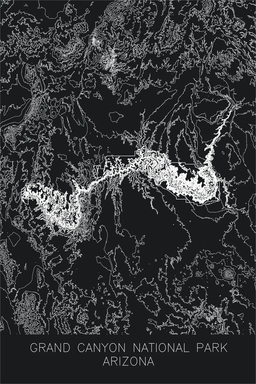
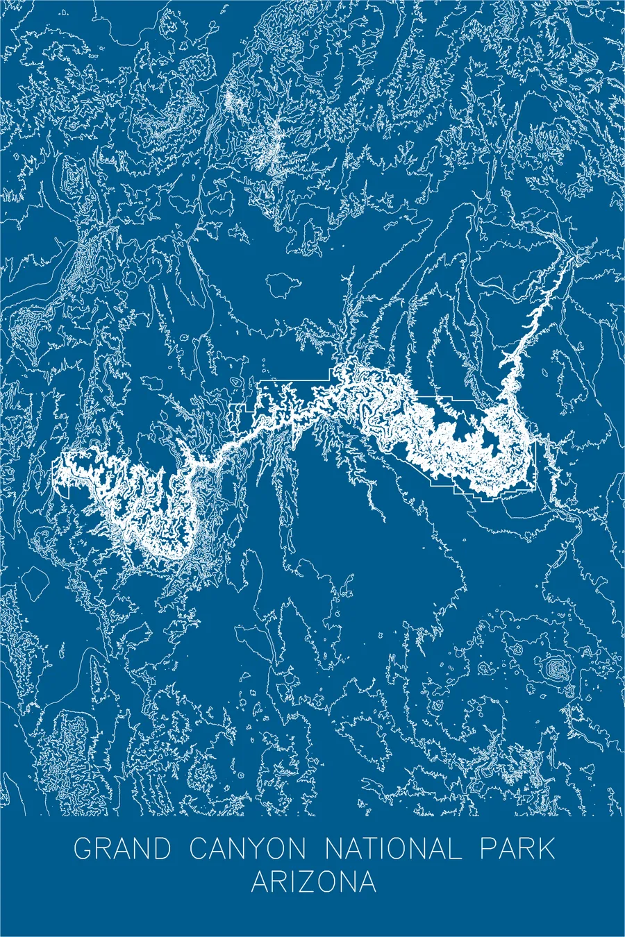
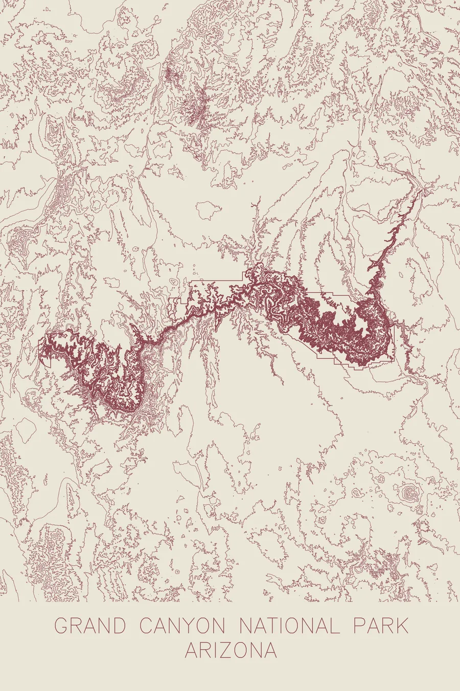
A pen-plotted topographic map of Grand Canyon National Park, Arizona, drawn from real elevation contour data.
Home to the last toll trail in the national park system, ceded in 1928.
$54
Ink & paper: Blue
+Personalize this map
+ Details
- 12 × 18 inches
- Drawn on 98 lb (160 gsm) archival cotton paper
- Precision technical pens and archival inks
- Signed and dated on the back
- Ships flat, protected, ready to frame
Each map begins with elevation data and is drawn by a pen plotter in our Vermont studio. Mechanical precision, plus the texture and small imperfections of real ink on paper.
Off the screen
In real rooms



















+ About this map
Until 1928 the main trail into the Grand Canyon was a private toll operation, and the drinking water cost extra. Prospector Ralph Cameron controlled the Bright Angel Trail through mining claims, charging a $1 toll plus separate fees for water and outhouses, and when the National Park Service moved against him he had the advantage of being, from 1921, a United States Senator. In February 1922 he had Grand Canyon’s development appropriation stripped from the Interior Department funding bill, on the grounds that it would only build campsites for “thirty or forty millionaires.” Coconino County finally ceded the trail in 1928, the last toll trail in the national park system.
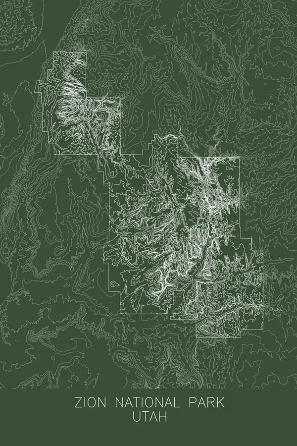
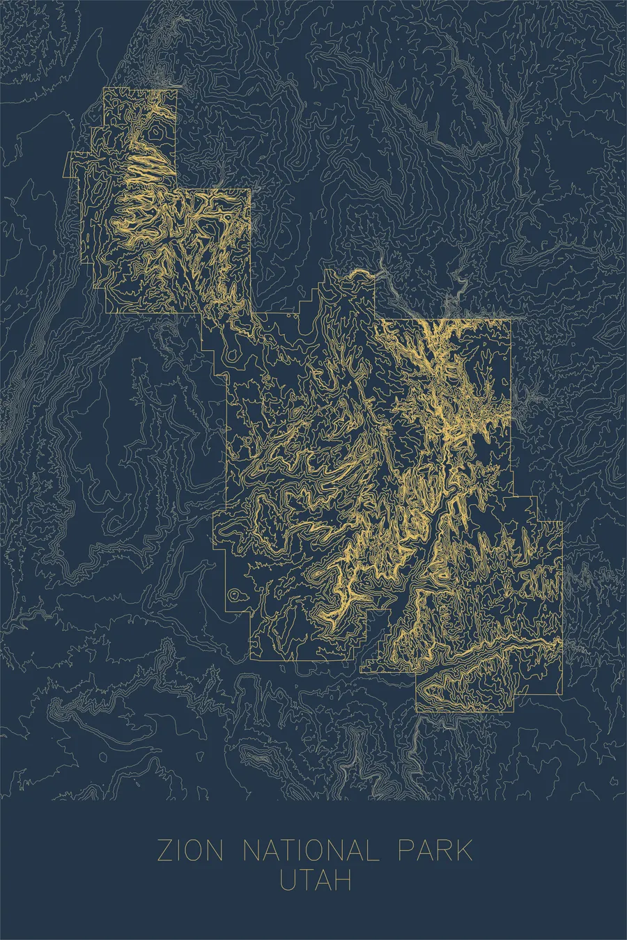
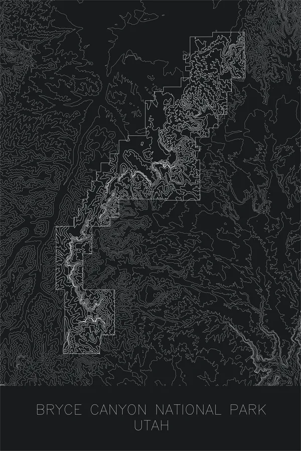
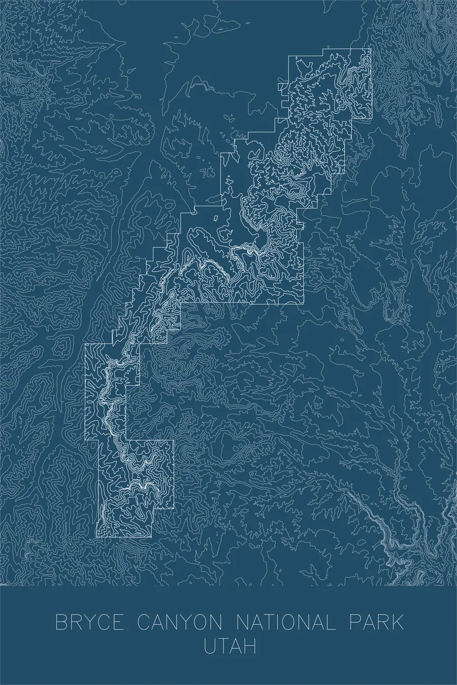
Canyons are where contour maps do their best work, and this one is dense with information. The lines crowd together at the cliff bands of the inner gorge, spread apart across the broad platforms of the Tonto bench, and trace the winding course of the Colorado River through the center of the print. Side canyons like Bright Angel branch away from the river, and the isolated buttes and temples that rise from the canyon floor appear as tight rings of contour standing alone in open space.
+ Map details
- Grand Canyon National Park
- Arizona
- United States
- Southwest
- 8,297 ft / 2,529 m
- 36.0544N 112.1401W
- National park topographic map
- Original pen plot, archival ink on cotton paper
- 12 × 18 in
- A mile-deep canyon carved by the Colorado River over six million years
More maps