Pakistan/China
K2
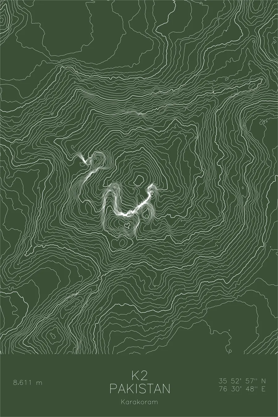
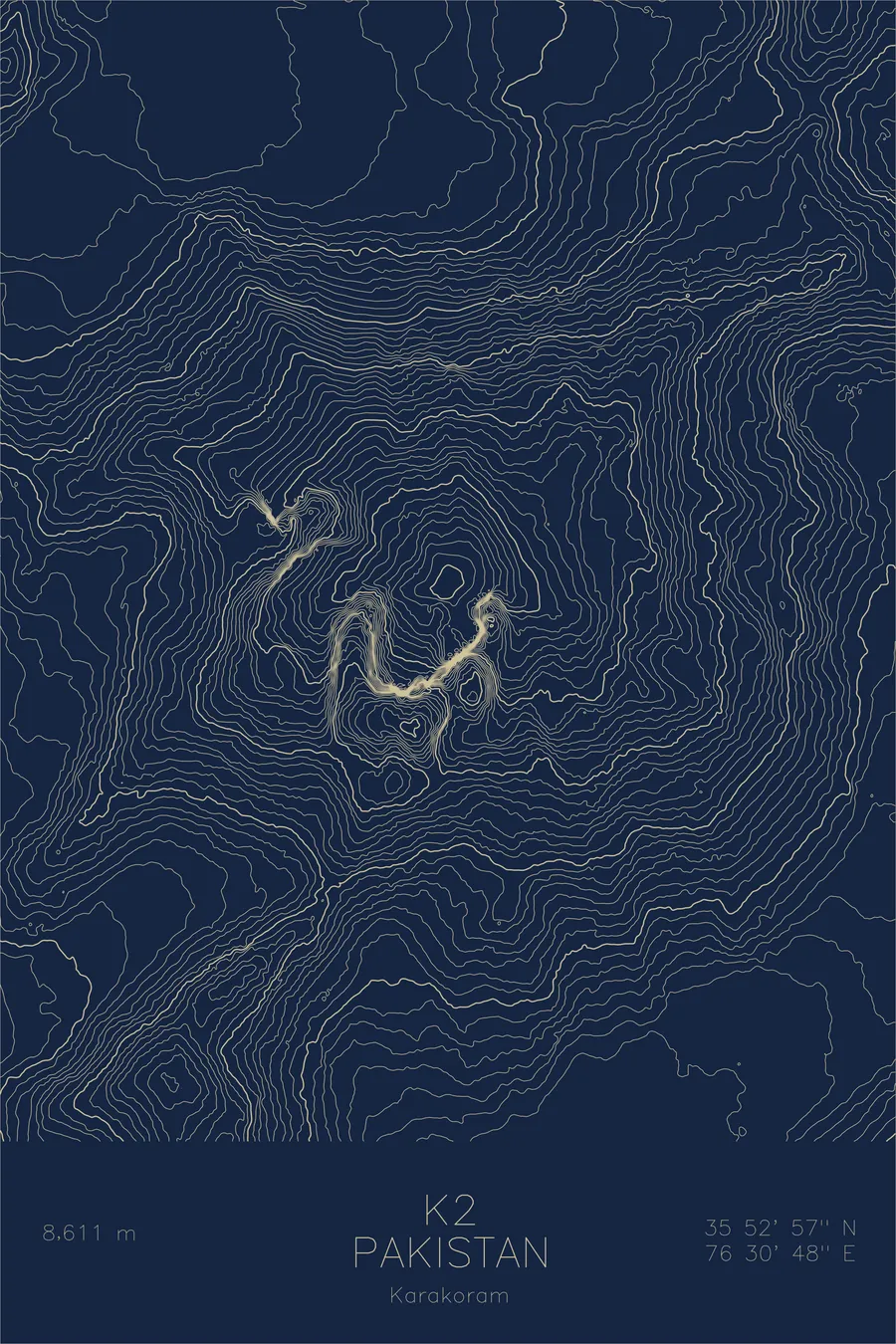
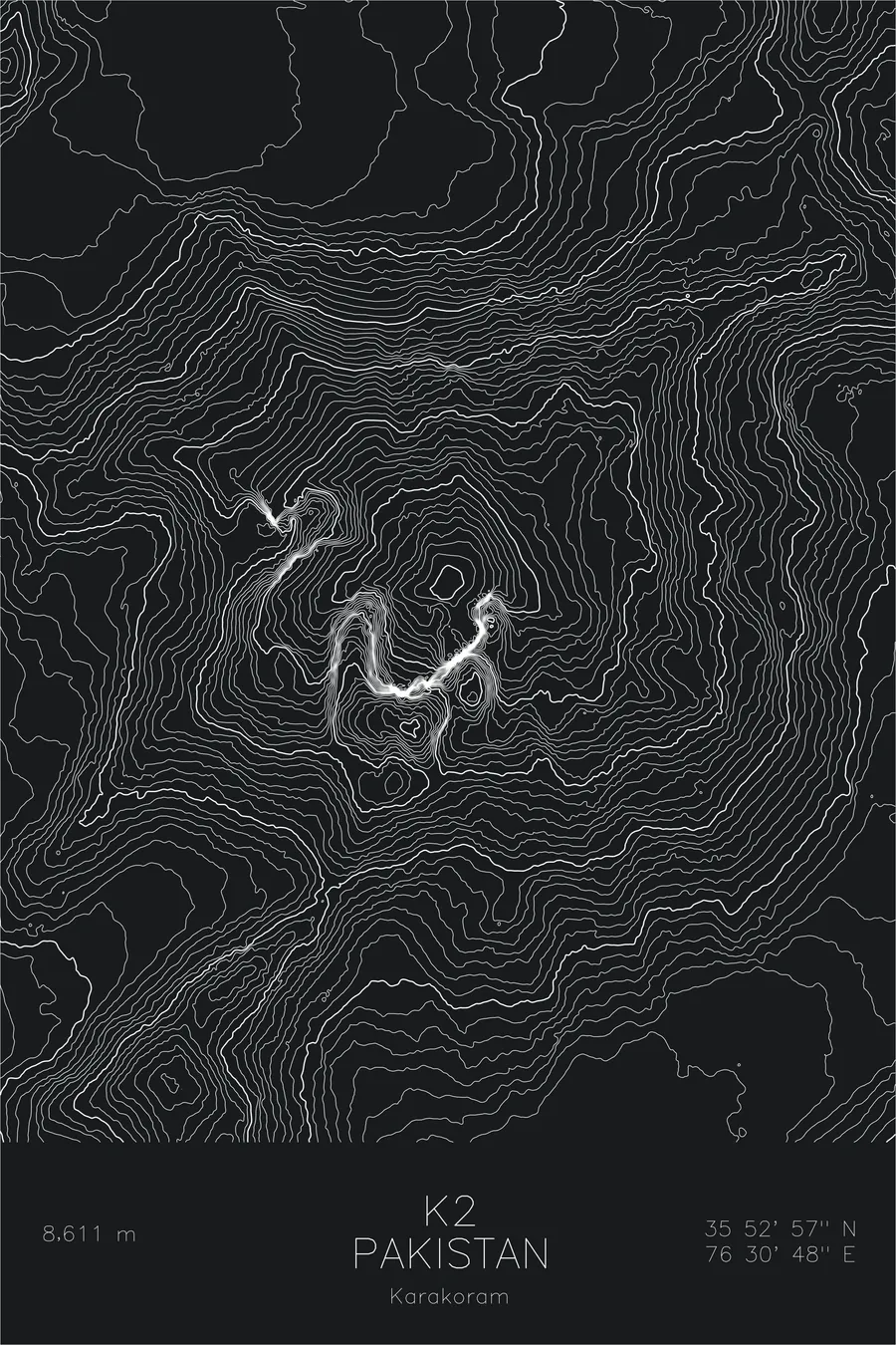
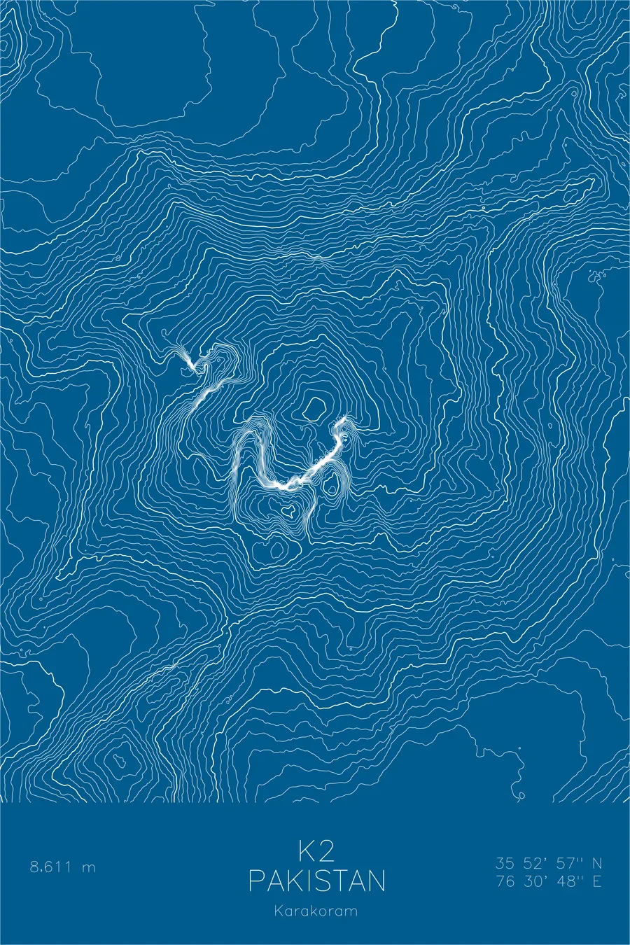
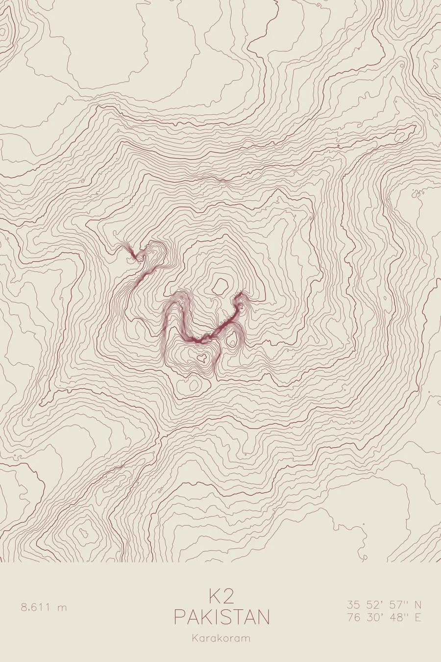
A pen-plotted topographic map of K2 in the Karakoram, Pakistan/China, drawn from real elevation contour data.
Most dangerous mountain to climb. 28,251 feet above sea level.
$54
Ink & paper: Black
Size: 12×18"
+Personalize this map
+ Details
- 12 × 18 inches
- Drawn on 98 lb (160 gsm) archival cotton paper
- Precision technical pens and archival inks
- Signed and dated on the back
- Ships flat, protected, ready to frame
Each map begins with elevation data and is drawn by a pen plotter in our Vermont studio. Mechanical precision, plus the texture and small imperfections of real ink on paper.
Off the screen
In real rooms



















+ About this map
K2 rises 28,251 feet on the border between Pakistan and China, the second highest mountain on Earth and, by most measures, the hardest of the great peaks to climb. It anchors the Karakoram, a range denser with high summits than any other. Unlike Everest, K2 offers no gentle line of approach: every route is steep, exposed, and threatened by weather that can pin climbers in place for weeks. Far more people have stood on top of Everest than have ever summited K2.
This map shows why climbers call it the savage mountain. The contour lines hold an almost uniform density on every flank, tracing a near-perfect pyramid that concedes nothing on any side. The Godwin-Austen Glacier curls along its base toward Concordia, where it joins the Baltoro, and the southeast ridge carrying the Abruzzi Spur route appears as the barest softening in an otherwise relentless wall.
+ Map details
- K2
- Pakistan/China
- Pakistan / China
- Karakoram
- Karakoram
- 28,251 ft / 8,611 m
- 35.8825N 76.5133E
- Mountain topographic map
- Original pen plot, archival ink on cotton paper
- 8 × 12 in · 12 × 18 in · 18 × 24 in
- Most dangerous mountain to climb
More maps