Colorado
Keystone
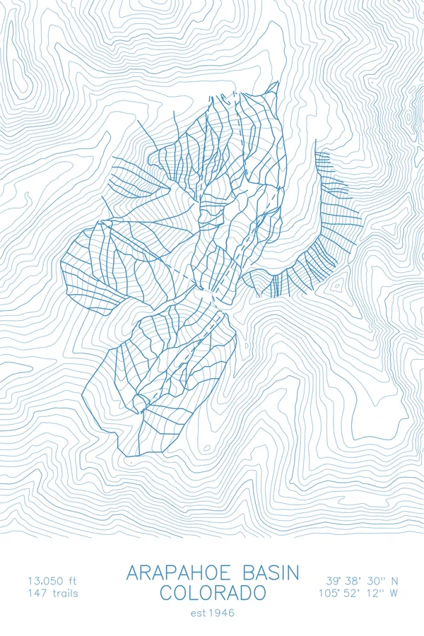
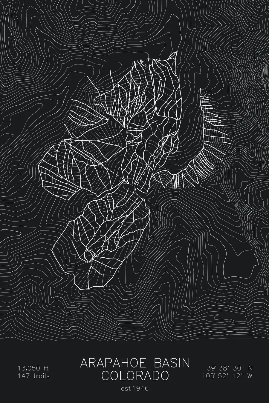
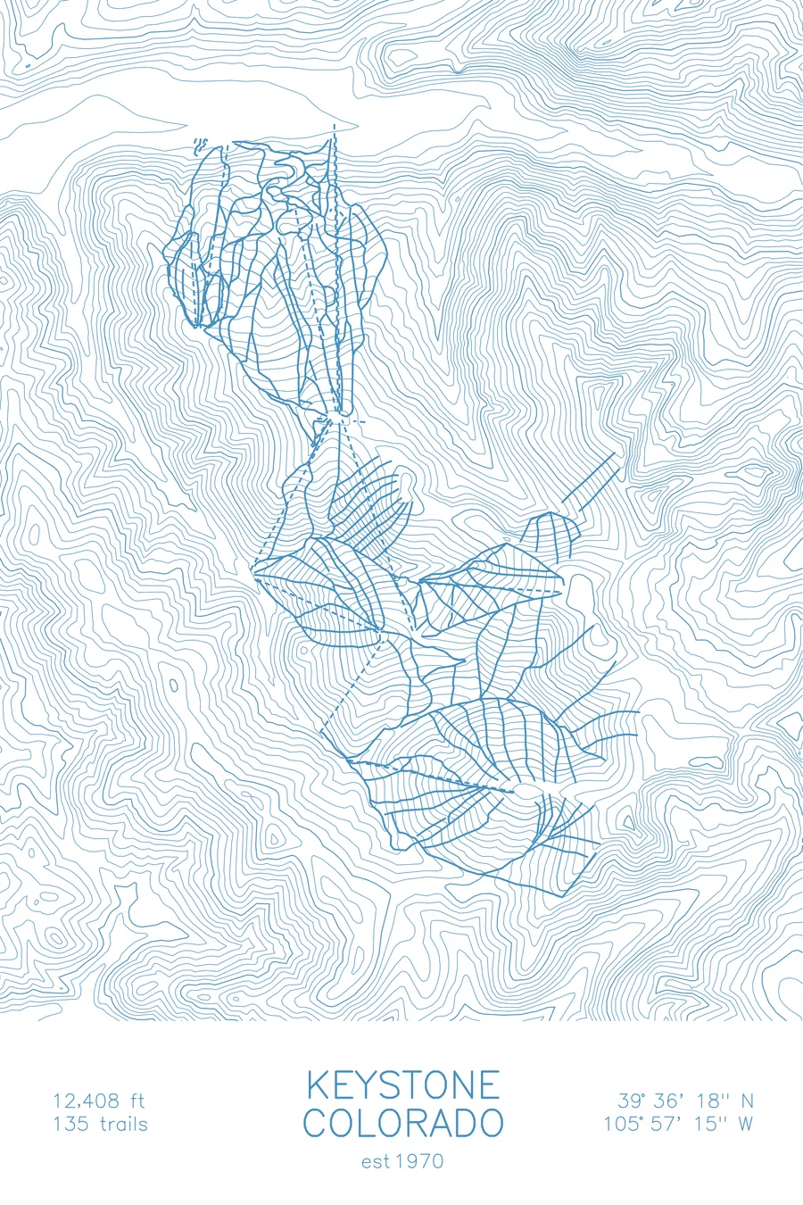
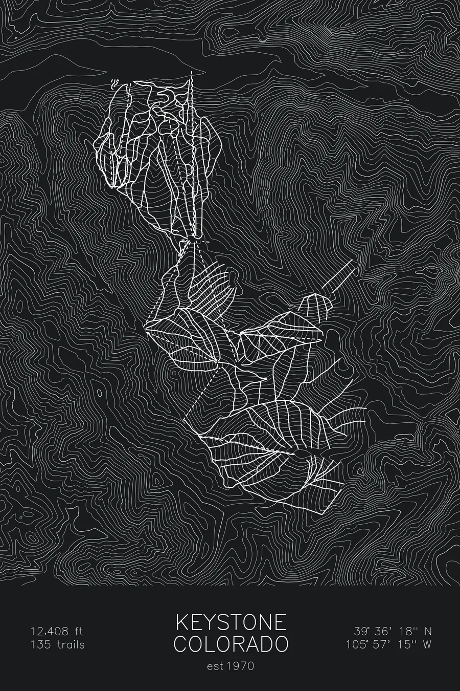
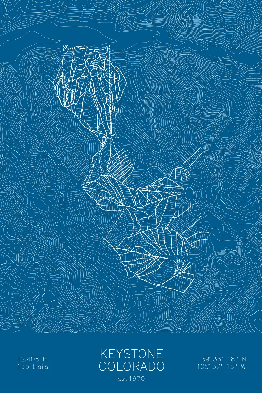
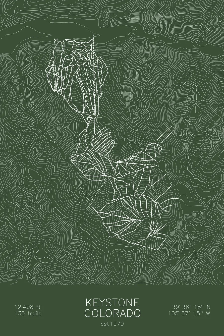
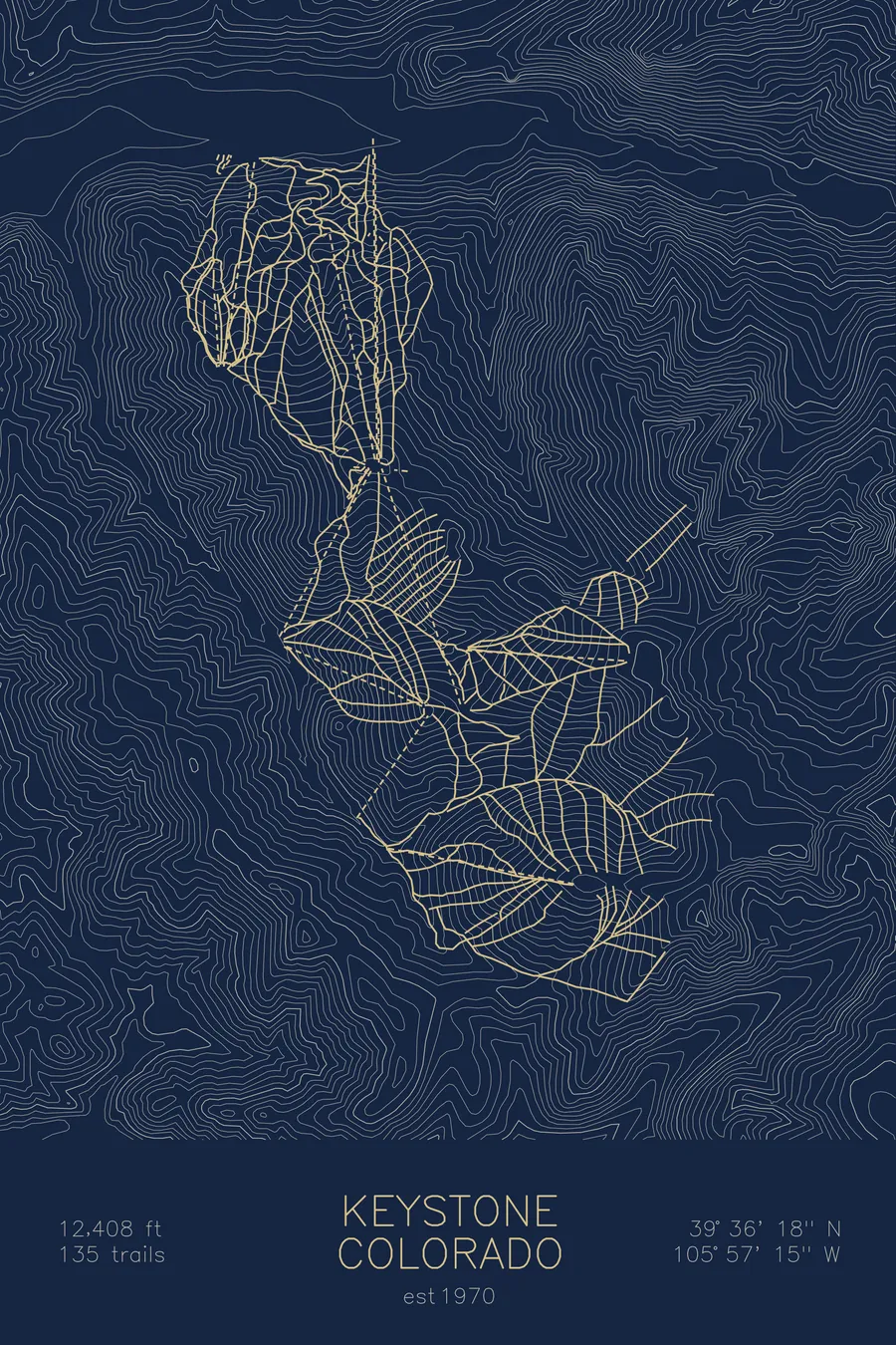
A topographic ski map of Keystone, Colorado, with the resort's runs and lifts drawn over real terrain in a minimalist contour-line design.
Est. 1970. 135 trails. 12,408 feet above sea level.
$63
Ink & paper: Arctic White
Size: 12×18"
+Personalize this map
+ Details
- 12 × 18 inches
- Drawn on 98 lb (160 gsm) archival cotton paper
- Precision technical pens and archival inks
- Signed and dated on the back
- Ships flat, protected, ready to frame
Each map begins with elevation data and is drawn by a pen plotter in our Vermont studio. Mechanical precision, plus the texture and small imperfections of real ink on paper.
Off the screen
In real rooms



















+ About this map
Keystone is a Colorado ski resort with three interconnected peaks and one of the longest ski seasons in the state. Its night skiing operation is the largest in Colorado, and the terrain ranges from gentle beginner runs to the steep chutes of The Outback.
+ Map details
- Keystone
- Colorado
- United States
- Rocky Mountains
- 12,408 ft / 3,782 m
- 39.6050N 105.9542W
- Ski resort trail map
- Original pen plot, archival ink on cotton paper
- 8 × 12 in · 12 × 18 in · 18 × 24 in
- Est. 1970. 135 trails
More maps