Colorado
Breckenridge
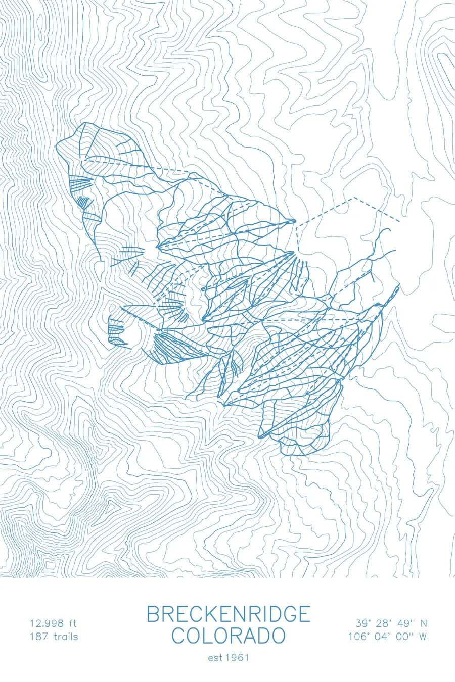
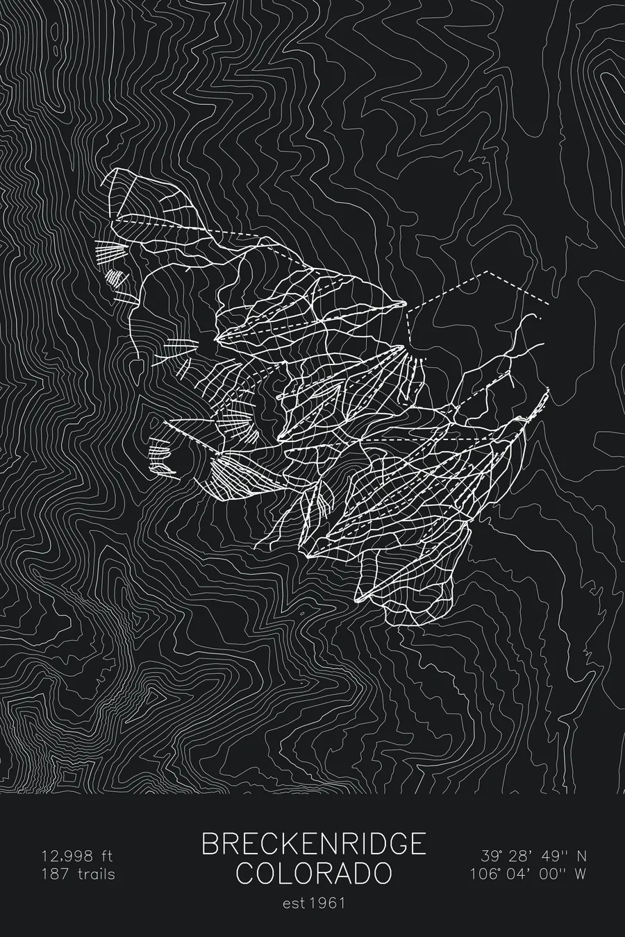
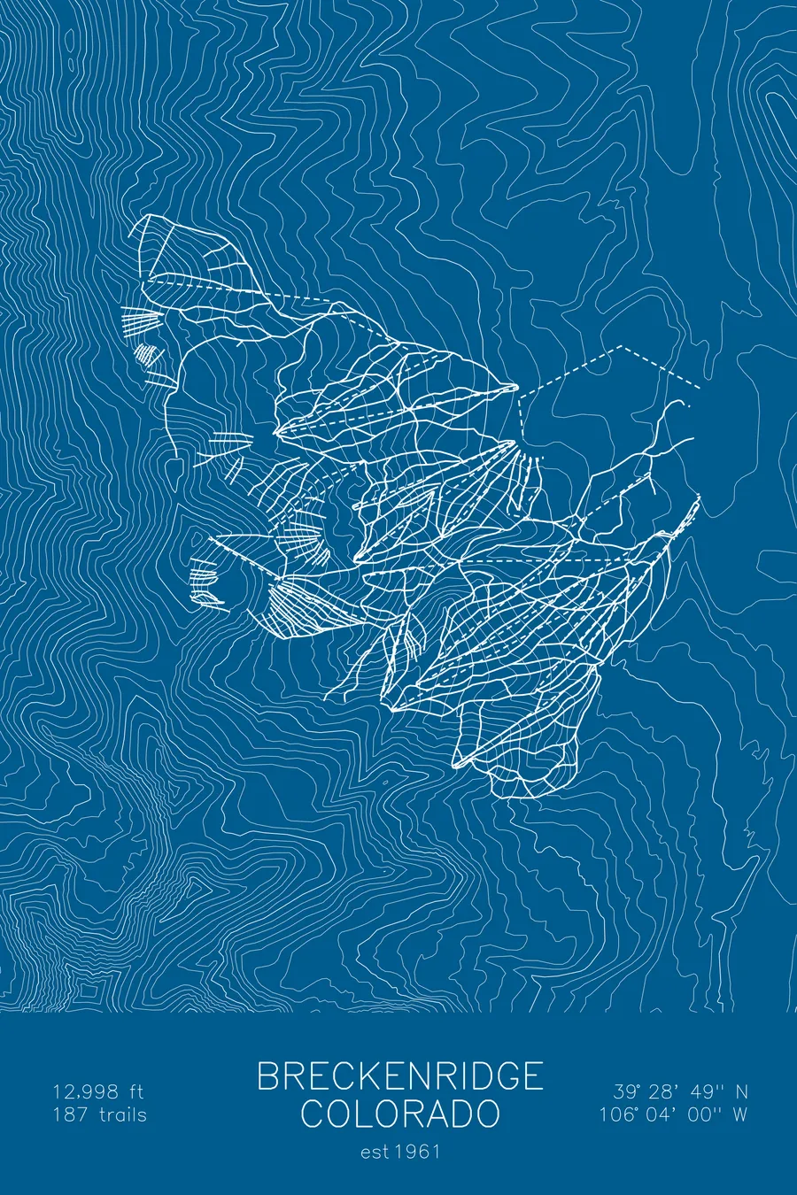
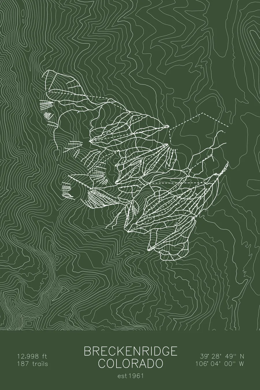
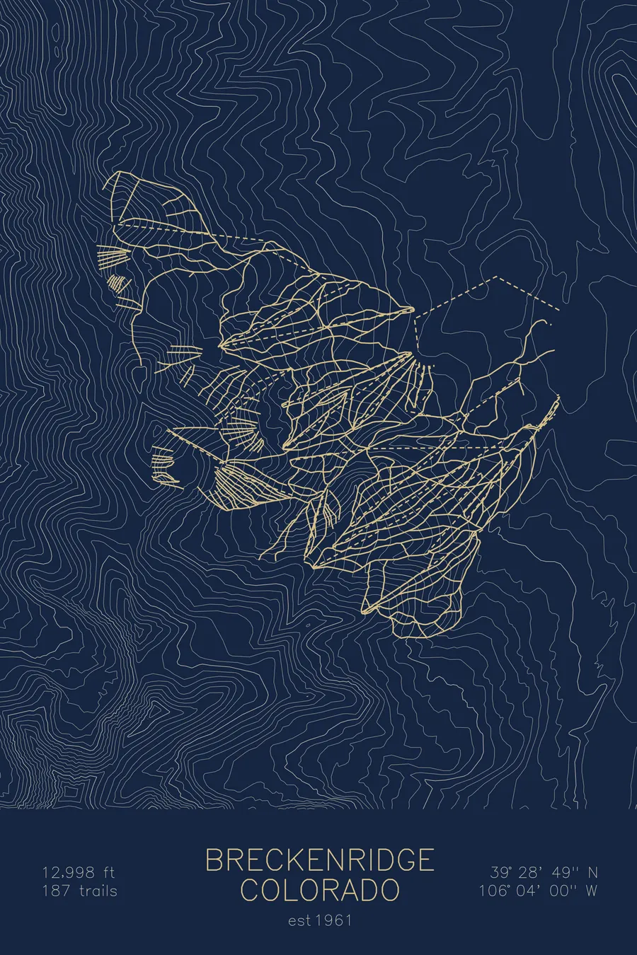
A topographic ski map of Breckenridge, Colorado, with the resort's runs and lifts drawn over real terrain in a minimalist contour-line design.
The town respelled its own name in 1861 to distance itself from a Confederate general.
$63
Ink & paper: Arctic White
Size: 12×18"
+Personalize this map
+ Details
- 12 × 18 inches
- Drawn on 98 lb (160 gsm) archival cotton paper
- Precision technical pens and archival inks
- Signed and dated on the back
- Ships flat, protected, ready to frame
Each map begins with elevation data and is drawn by a pen plotter in our Vermont studio. Mechanical precision, plus the texture and small imperfections of real ink on paper.
Off the screen
In real rooms



















+ About this map
Breckenridge changed a single letter of its name to get a post office, then changed it back on principle. Founded in 1859, the town respelled itself Breckinridge to flatter Vice President John C. Breckinridge, and it worked: on January 18, 1860 it received the first post office between the Continental Divide and Salt Lake City. When Breckinridge accepted a Confederate general’s commission in November 1861, the townspeople swapped the i back to an e, and there the matter has rested. The resort above the old mining town climbs five peaks of the Tenmile Range to nearly 13,000 feet, some of the highest skiable terrain in North America.
+ Map details
- Breckenridge
- Colorado
- United States
- Rocky Mountains
- 12,998 ft / 3,962 m
- 39.4803N 106.0667W
- Ski resort trail map
- Original pen plot, archival ink on cotton paper
- 8 × 12 in · 12 × 18 in · 18 × 24 in
- Est. 1961. 187 trails
More maps