California / Nevada
Lake Tahoe
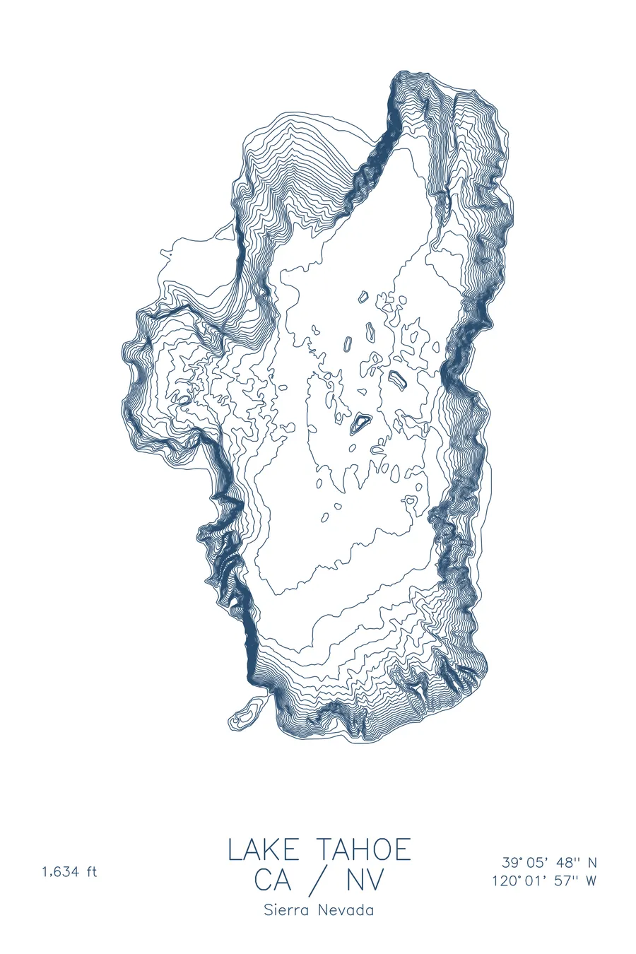
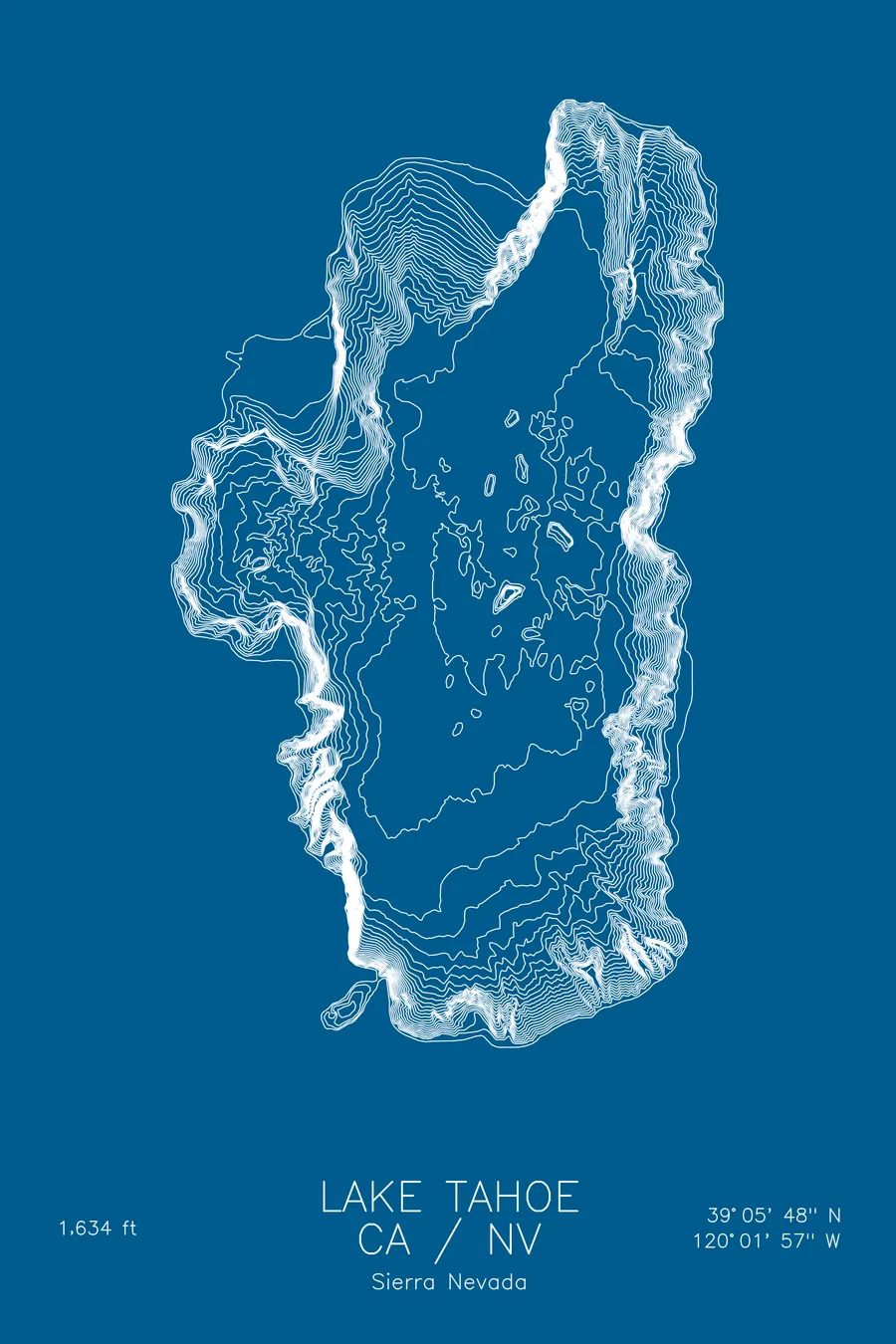
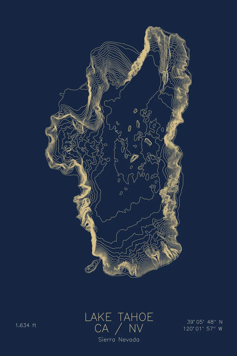
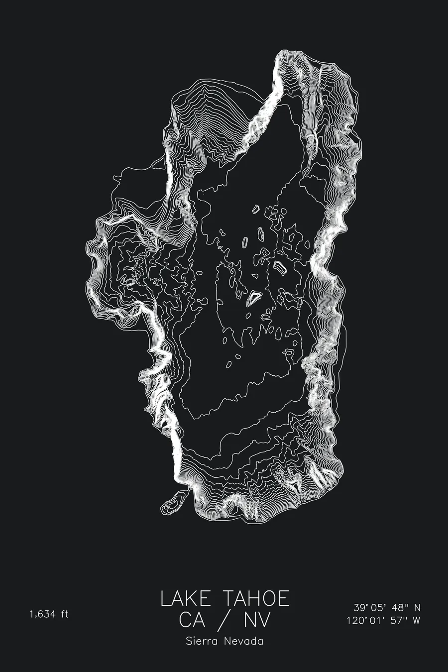
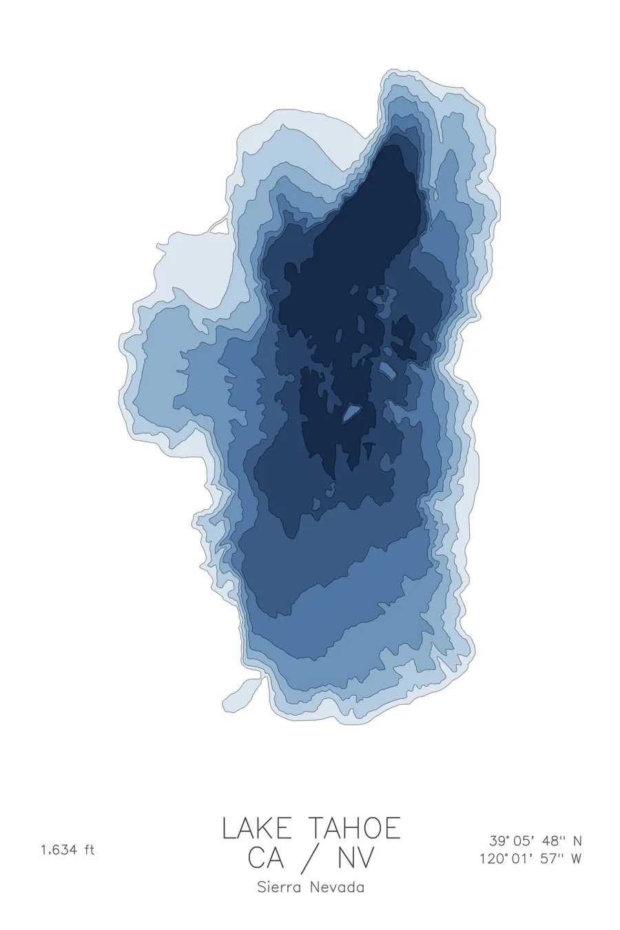
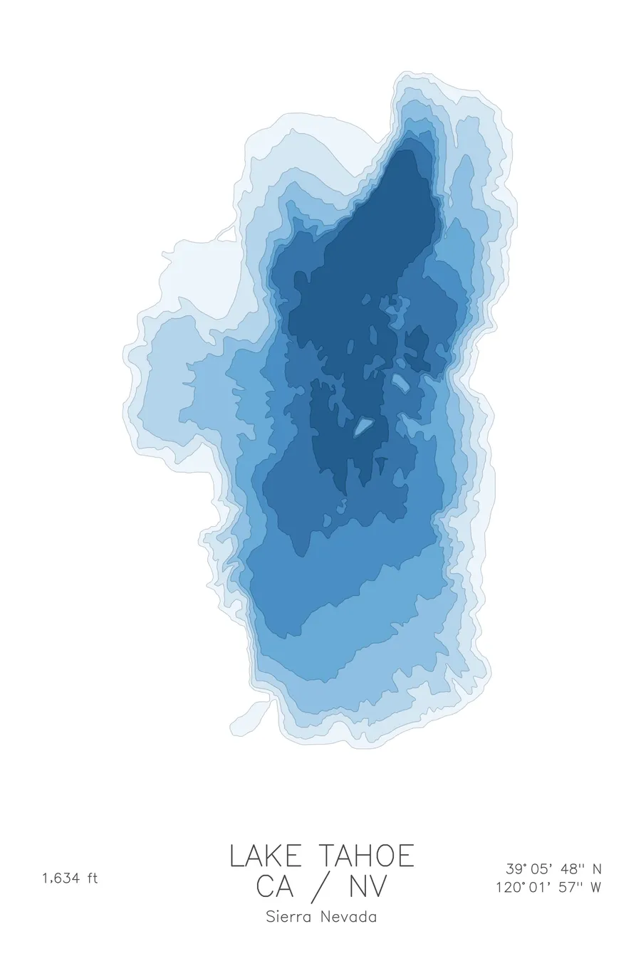
A bathymetric depth map of Lake Tahoe, California / Nevada, drawn from real lake survey data in a minimalist contour-line design.
Max depth 1,634 ft.
$50
Ink & paper: Lake Blue
Size: 12×18"
+Personalize this map
+ Details
- 12 × 18 inches
- Drawn on 98 lb (160 gsm) archival cotton paper
- Precision technical pens and archival inks
- Signed and dated on the back
- Ships flat, protected, ready to frame
Each map begins with elevation data and is drawn by a pen plotter in our Vermont studio. Mechanical precision, plus the texture and small imperfections of real ink on paper.
Off the screen
In real rooms



















+ About this map
Lake Tahoe fills a fault basin high in the Sierra Nevada, straddling the California and Nevada line at more than 6,200 feet of elevation. The basin dropped between two rising mountain blocks and was later sculpted by glaciers, leaving the second-deepest lake in the United States at 1,634 feet, famous for cobalt water and remarkable clarity. Tahoe City, South Lake Tahoe, and Incline Village sit along its 72 miles of shoreline.
The depth contours trace how abruptly Tahoe falls away. Off Rubicon Point the bottom plunges hundreds of feet within a short swim of shore, and the lines stack tightly around most of the rim before opening onto a broad, nearly flat central floor. The map shows Emerald Bay pinched behind its shallow entrance sill, the gentler shelf off the south shore, and the deepest basin trending toward the northern half of the lake.
+ Map details
- Lake Tahoe
- California / Nevada
- United States
- Sierra Nevada
- 39.0968N 120.0324W
- Lake bathymetric depth map
- Original pen plot, archival ink on cotton paper
- 8 × 12 in · 12 × 18 in · 18 × 24 in
- Max depth 1,634 ft
More maps