
California
Northstar California
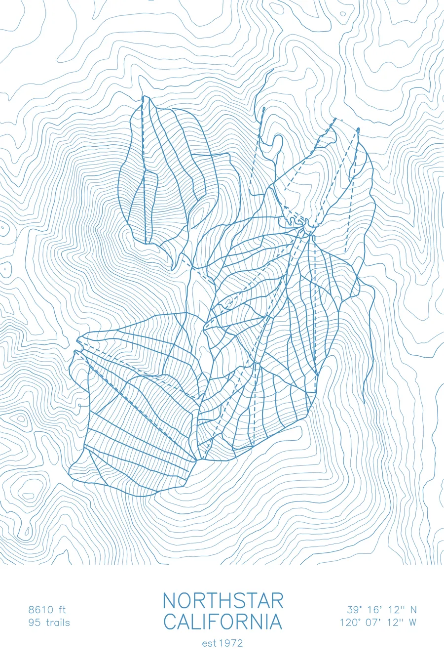
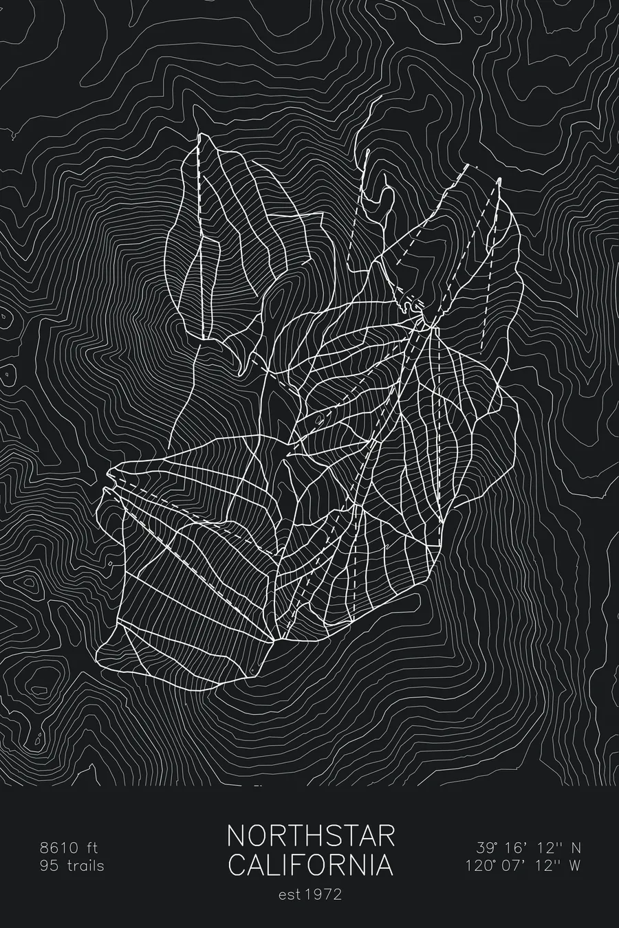
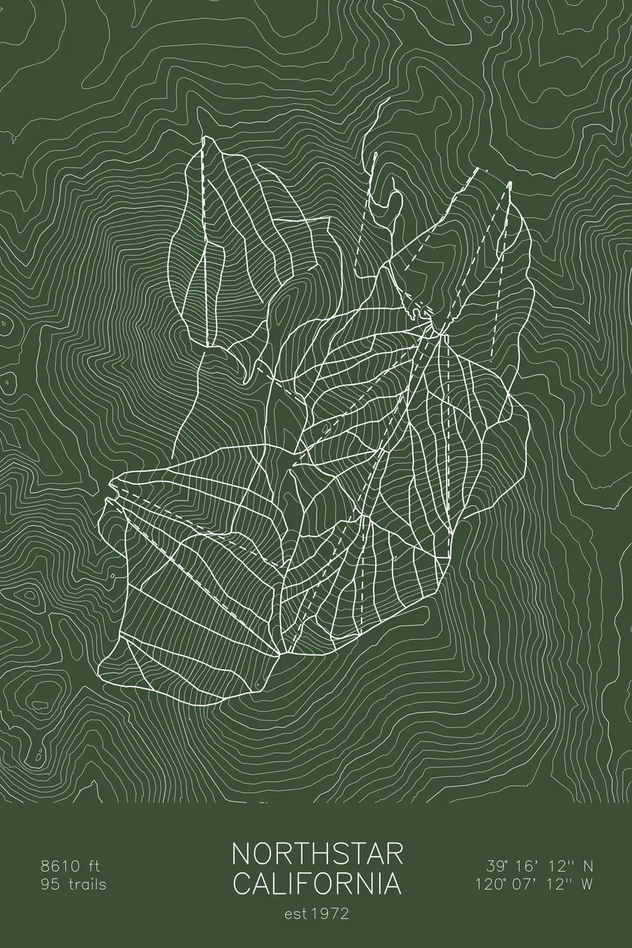
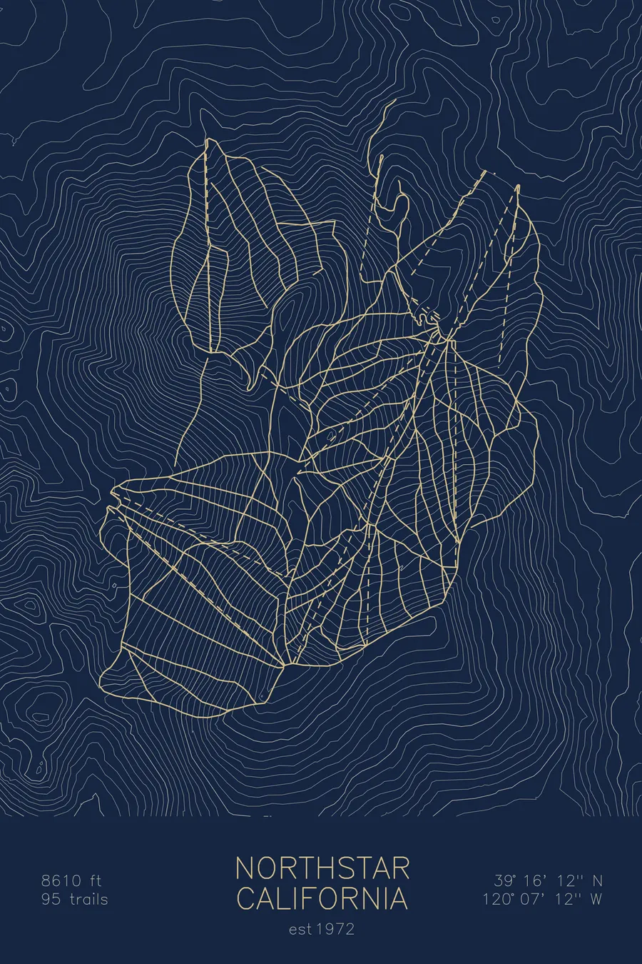
A topographic ski map of Northstar California, California, with the resort's runs and lifts drawn over real terrain in a minimalist contour-line design.
Est. 1972. 95 trails. 8,610 feet above sea level.
$63
Ink & paper: Arctic White
Size: 12×18"
+Personalize this map
+ Details
- 12 × 18 inches
- Drawn on 98 lb (160 gsm) archival cotton paper
- Precision technical pens and archival inks
- Signed and dated on the back
- Ships flat, protected, ready to frame
Each map begins with elevation data and is drawn by a pen plotter in our Vermont studio. Mechanical precision, plus the texture and small imperfections of real ink on paper.
Off the screen
In real rooms



















+ About this map
Northstar California sits just outside Truckee on the north shore of Lake Tahoe, spread across the wooded slopes of Mount Pluto at 8,610 feet. Founded in 1972, it built its reputation on long, immaculately groomed cruisers and gladed tree runs sheltered from Sierra storms, with quieter backside terrain dropping toward the Martis Valley. Its 95 trails funnel back to a village at the base, making it one of Tahoe’s most polished all-around mountains.
The contour map traces Mount Pluto’s rounded summit and the drainages that fan out from it, the terrain that gives Northstar its steady, flowing fall lines.
+ Map details
- Northstar California
- California
- United States
- Sierra Nevada
- 8,610 ft / 2,624 m
- 39.2700N 120.1200W
- Ski resort trail map
- Original pen plot, archival ink on cotton paper
- 8 × 12 in · 12 × 18 in · 18 × 24 in
- Est. 1972. 95 trails
More maps