Colorado
Little Bear Peak
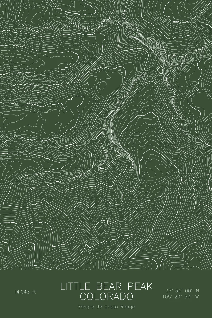
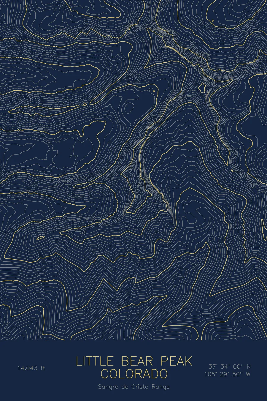
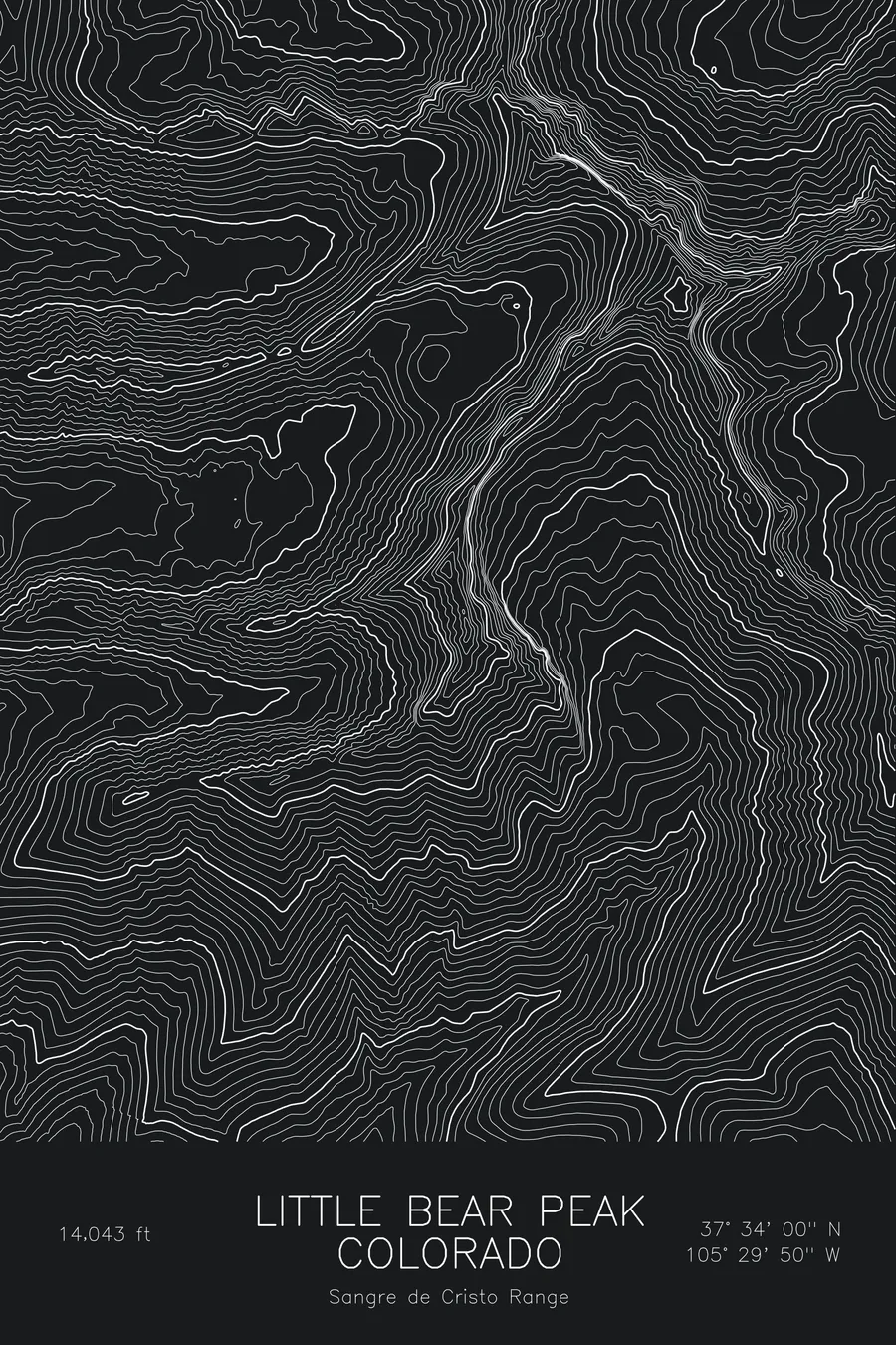
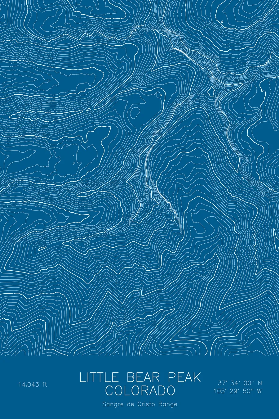
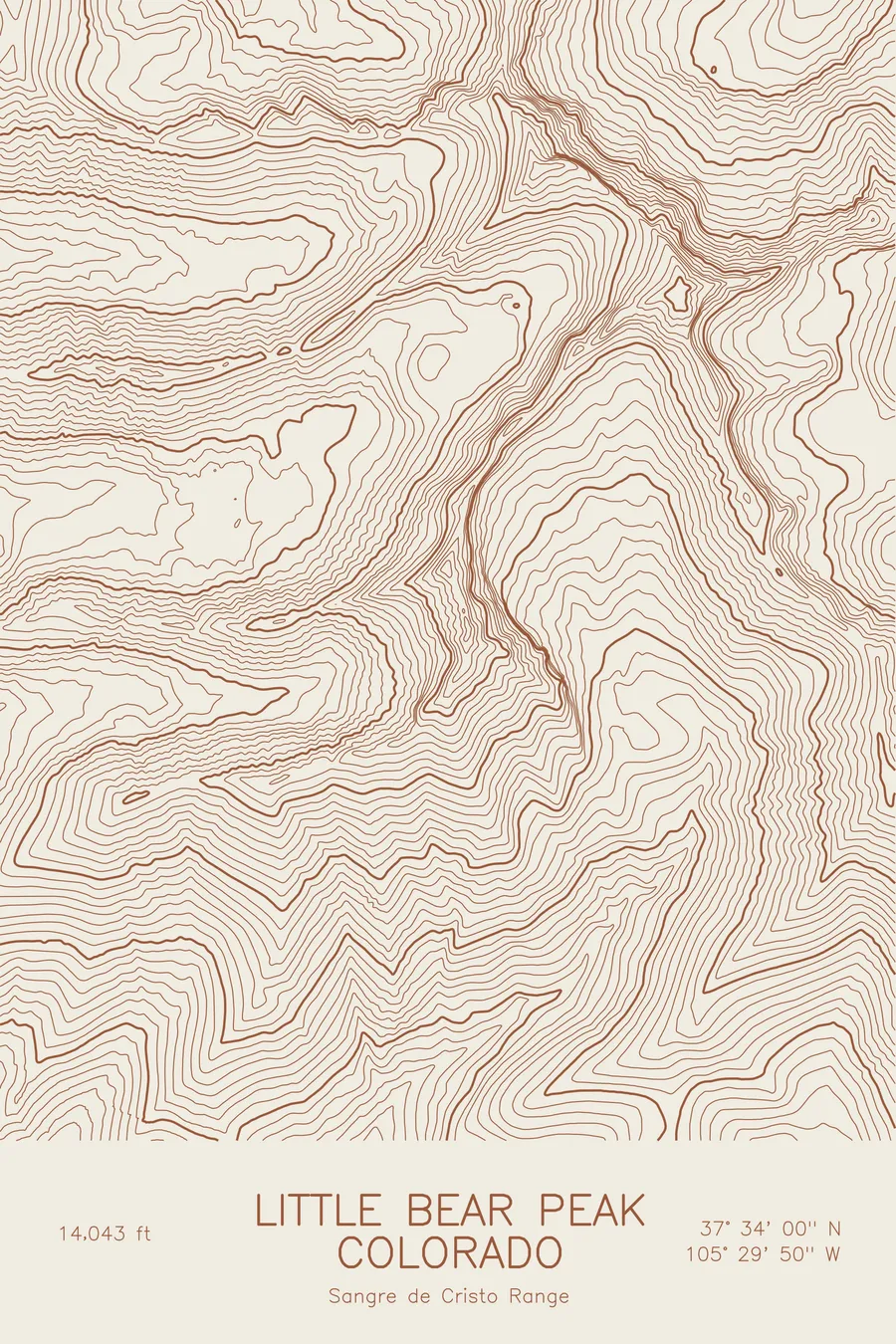
A pen-plotted topographic map of Little Bear Peak in the Sangre de Cristo Range, Colorado, drawn from real elevation contour data.
One of Colorado's hardest 14ers, climbed via the Hourglass couloir. 14,043 feet above sea level.
$54
Ink & paper: Blue
Size: 12×18"
+Personalize this map
+ Details
- 12 × 18 inches
- Drawn on 98 lb (160 gsm) archival cotton paper
- Precision technical pens and archival inks
- Signed and dated on the back
- Ships flat, protected, ready to frame
Each map begins with elevation data and is drawn by a pen plotter in our Vermont studio. Mechanical precision, plus the texture and small imperfections of real ink on paper.
Off the screen
In real rooms



















+ About this map
Little Bear Peak rises to 14,043 feet in Colorado’s Sangre de Cristo Range, one of the hardest fourteeners in the state. Its standard route climbs the Hourglass, a narrow couloir on the west face known for rockfall, and the ridge connecting it to Blanca Peak is counted among the great traverses in Colorado. It sits on the same massif as Blanca and Ellingwood Point above the Lake Como basin.
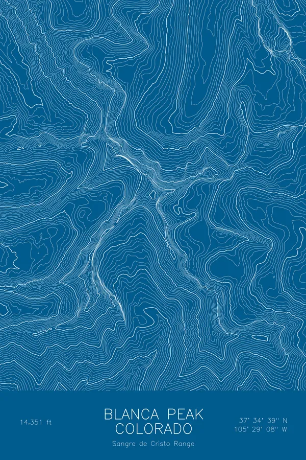
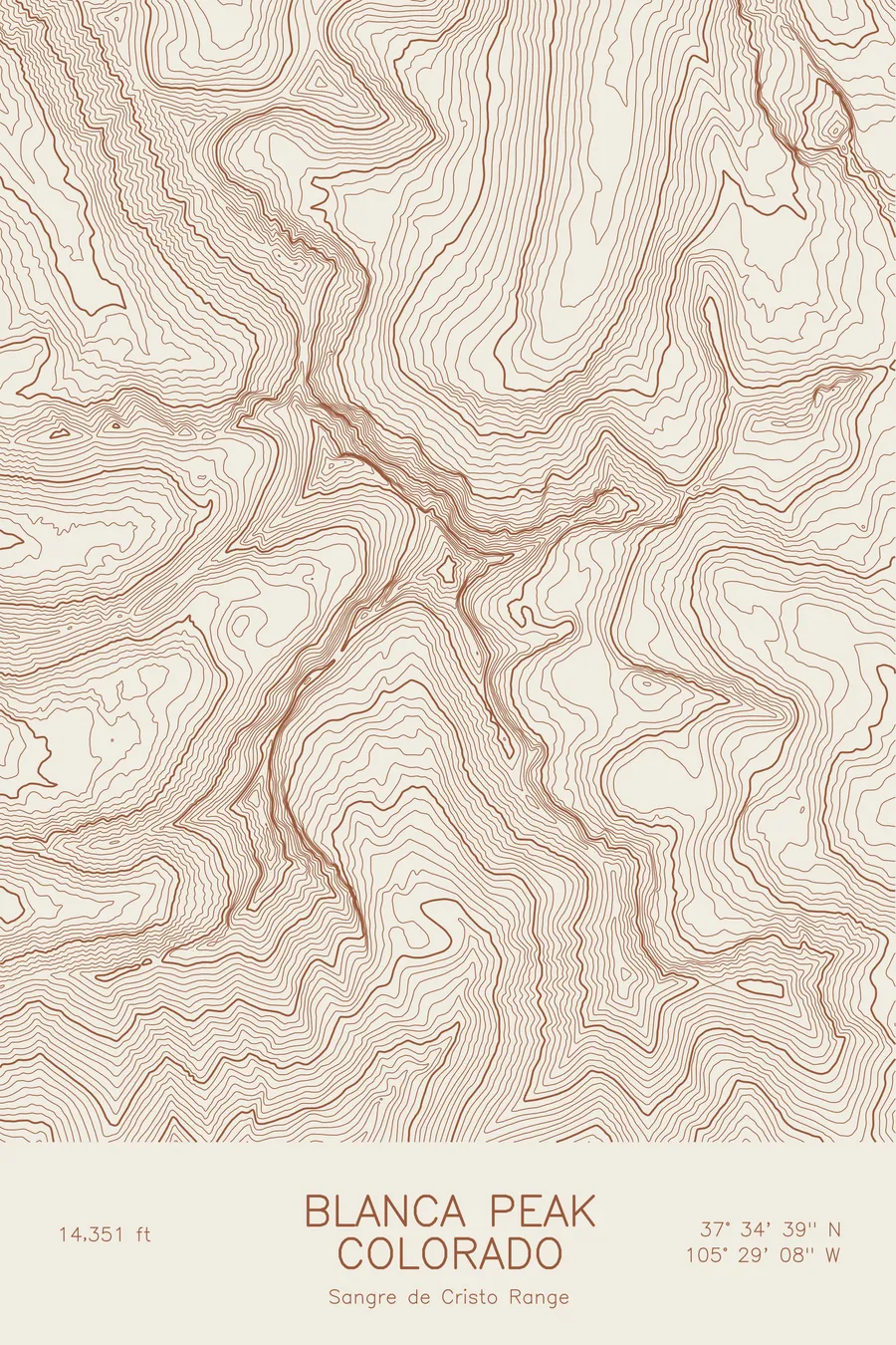
This map traces the steepest corner of the Blanca group. The contour lines around Little Bear are tight and unbroken, with the Lake Como valley cutting into the massif from the west and the connecting ridge to Blanca, the highest point on the sheet, running as a thin, notched crest. The elevation on this map runs from about 10,100 feet to just under 14,350 feet, and there is very little level ground anywhere on it.
+ Map details
- Little Bear Peak
- Colorado
- United States
- Sangre de Cristo Range
- Sangre de Cristo Range
- 14,043 ft / 4,280 m
- 37.5666N 105.4972W
- Mountain topographic map
- Original pen plot, archival ink on cotton paper
- 8 × 12 in · 12 × 18 in · 18 × 24 in
- One of Colorado's hardest 14ers, climbed via the Hourglass couloir
More maps