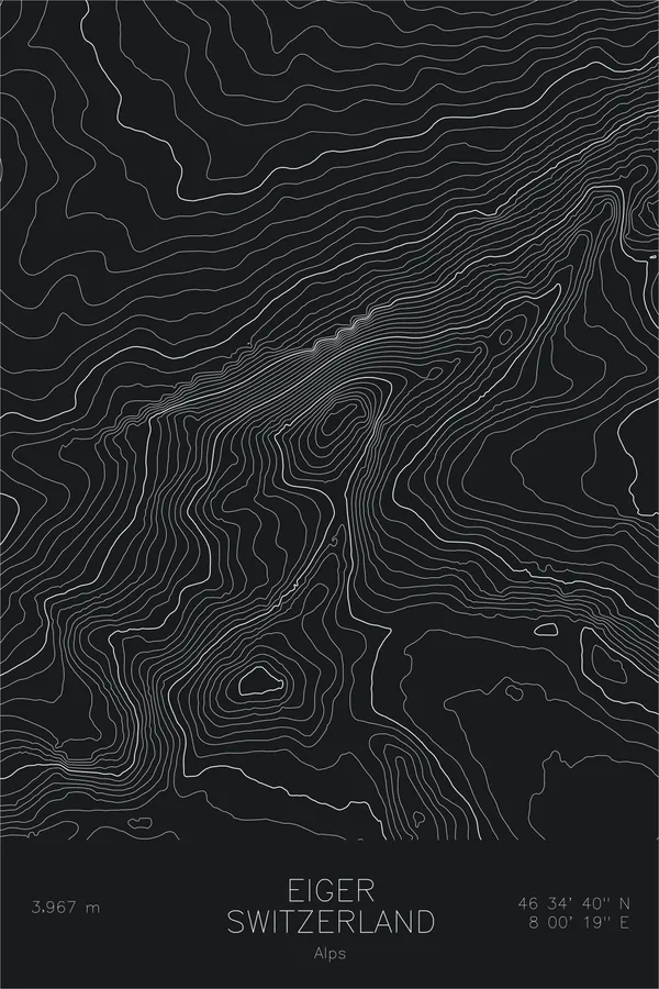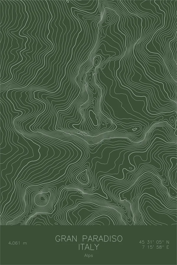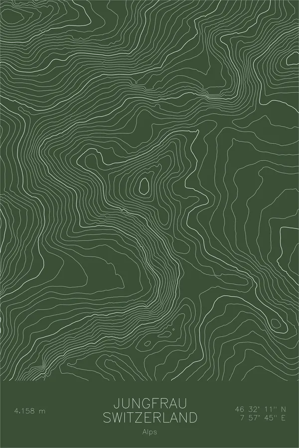
Switzerland / Italy
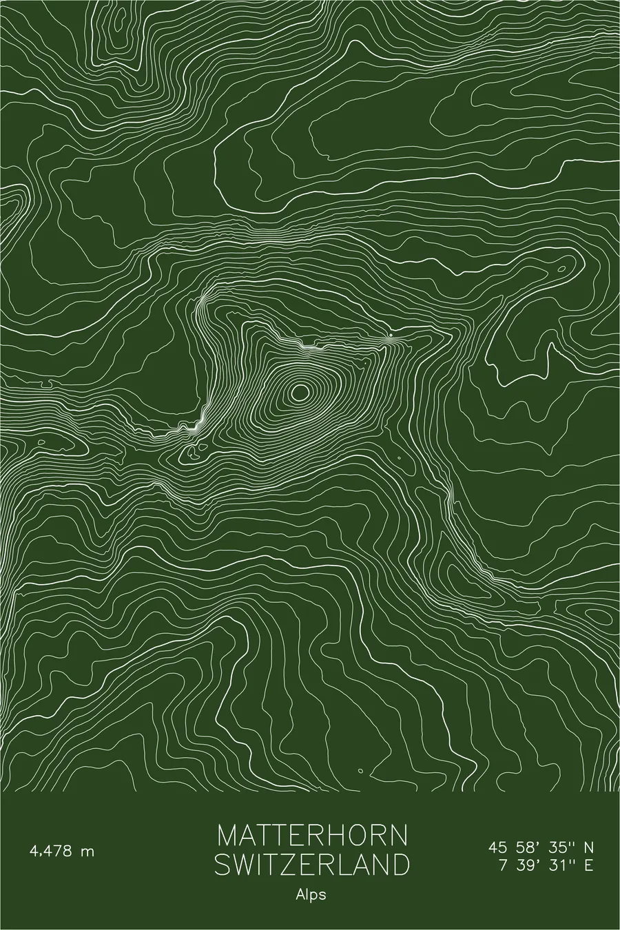
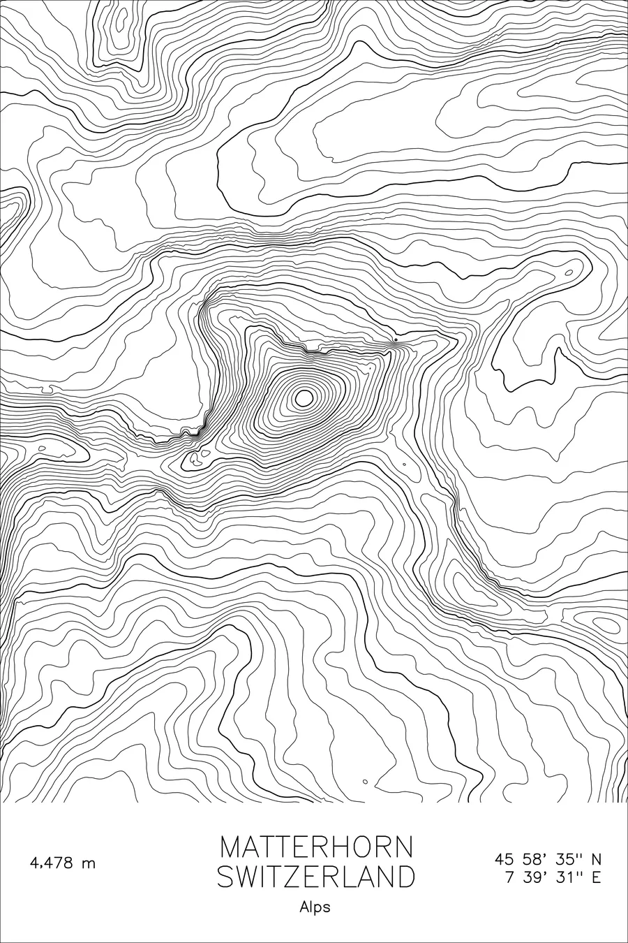
Matterhorn
One of the most photographed mountains in the world, an almost geometrically perfect pyramid. 14,692 feet above sea level.
$54
Original pen plot · signed · no two identical
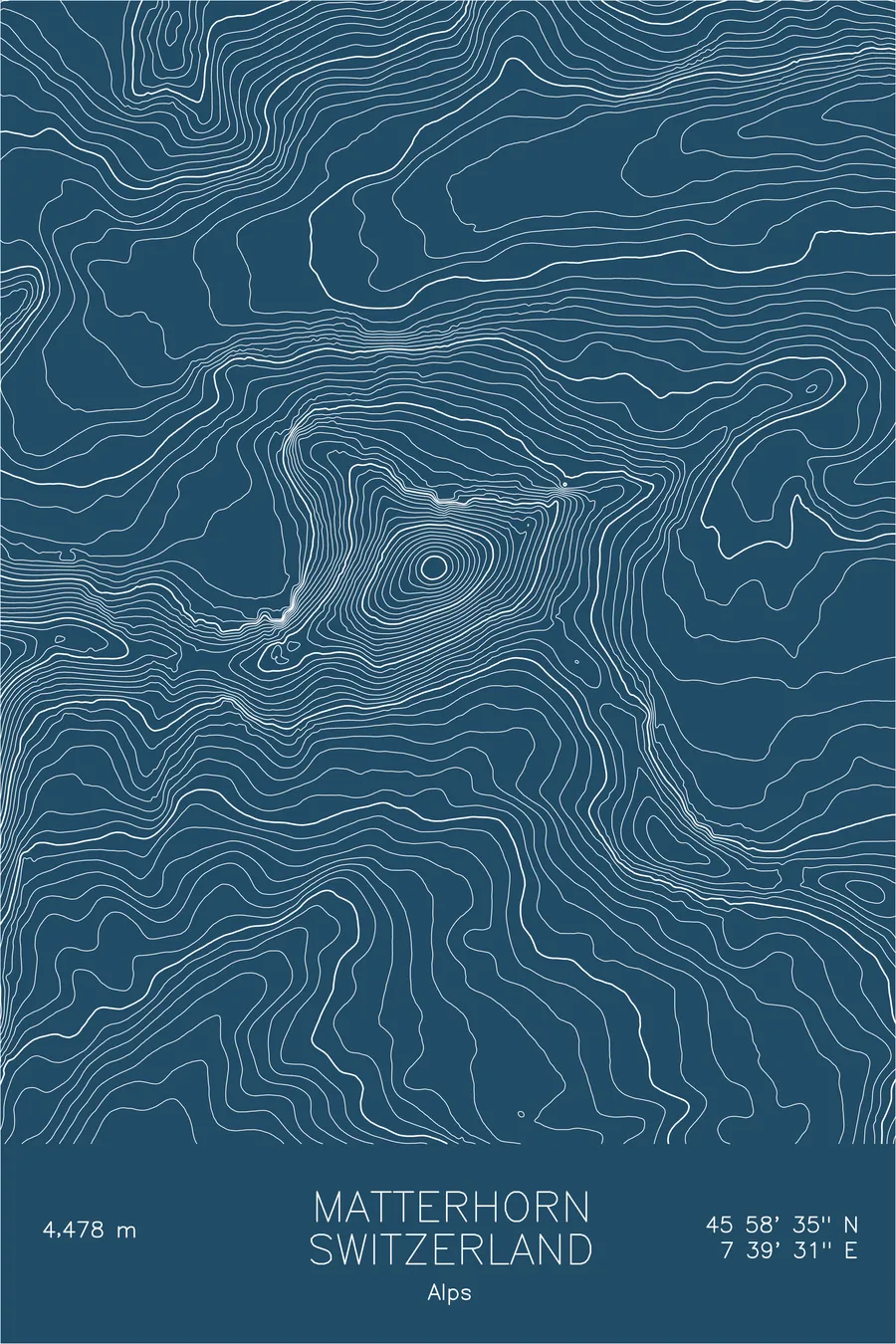
Ink & paper: Blue
Size: 12×18"
Made to order. Ships flat in 1–4 business days. Shipping & returns
+ Details
- 12 × 18 inches
- Drawn on 98 lb (160 gsm) archival cotton paper
- Precision technical pens and archival inks
- Signed and dated on the back
- Ships flat, protected, ready to frame
Each map begins with elevation data and is drawn by a pen plotter in our Vermont studio. Mechanical precision, plus the texture and small imperfections of real ink on paper.
+ About this map
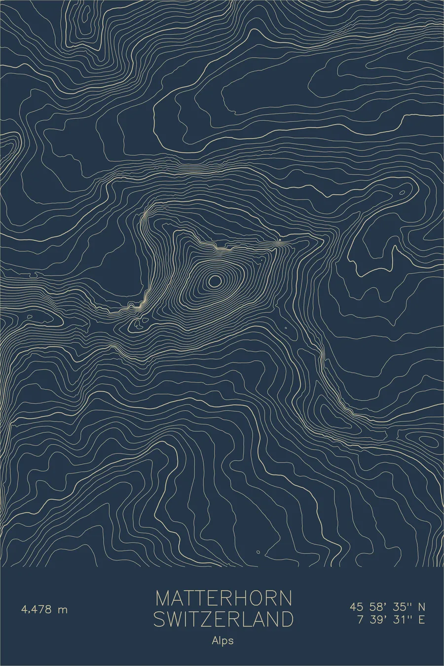
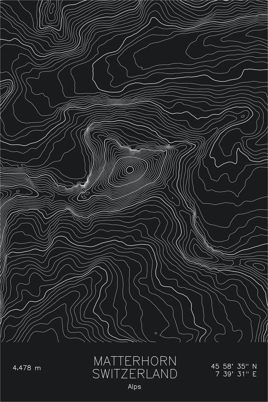
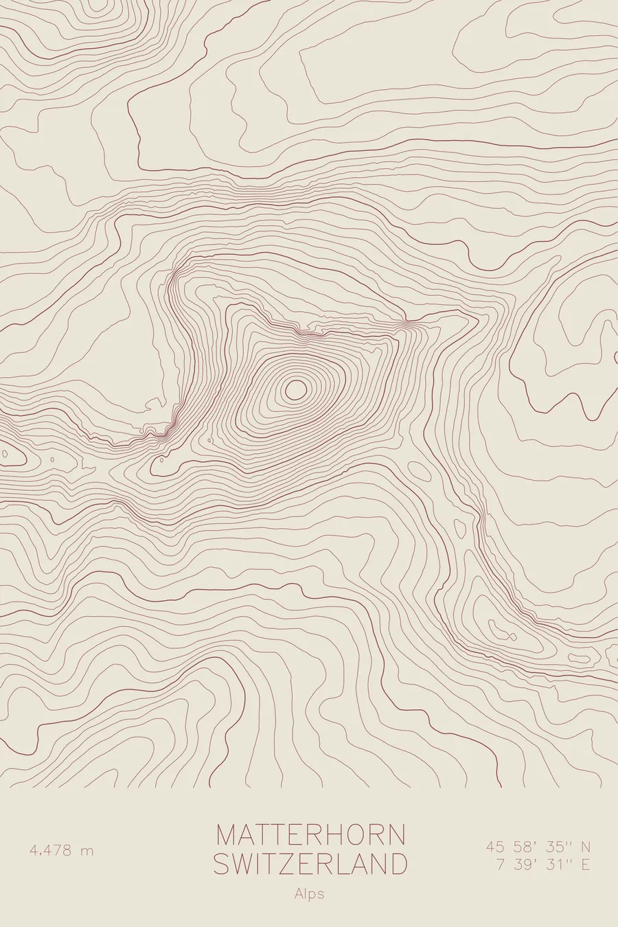
The Matterhorn is a mountain that looks engineered. Four steep faces, four sharp ridges, and a pointed summit that sits at the exact intersection of all of them. At 14,692 feet, it straddles the border between Switzerland and Italy, rising above Zermatt in a pyramidal form so distinct it has become one of the most recognizable mountain silhouettes in the world.
This map reveals the geometry behind the icon. The contour lines tighten dramatically on all four faces; the north face in particular compresses to near-vertical bands of elevation. The ridgelines that define the pyramid, the Hörnli, Zmutt, Lion, and Furggen, stand out clearly as inflection points in the topography where the mountain changes direction.
+ Site data
- Location
- Matterhorn
- Range
- Pennine Alps
- Region
- Alps
- Elevation
- 14,692 ft / 4,478 m
- Coordinates
- 45.9763N 7.6586E
- Type
- peak
- Notes
- One of the most photographed mountains in the world, an almost geometrically perfect pyramid
Off the screen
In real rooms


Real plots in the selected colorway
More maps