France
Morzine
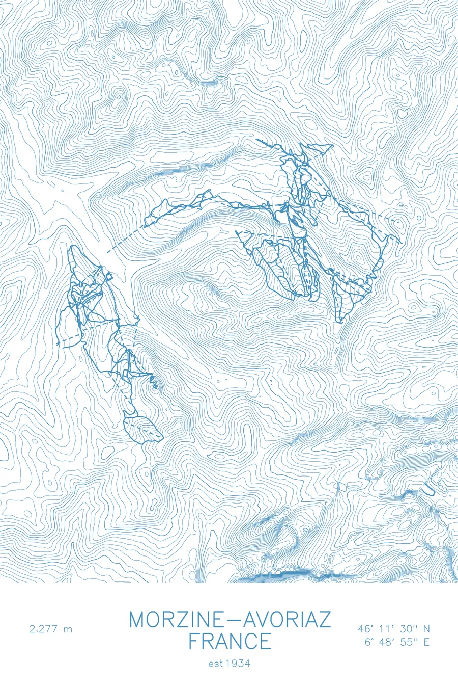
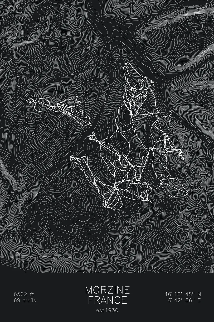
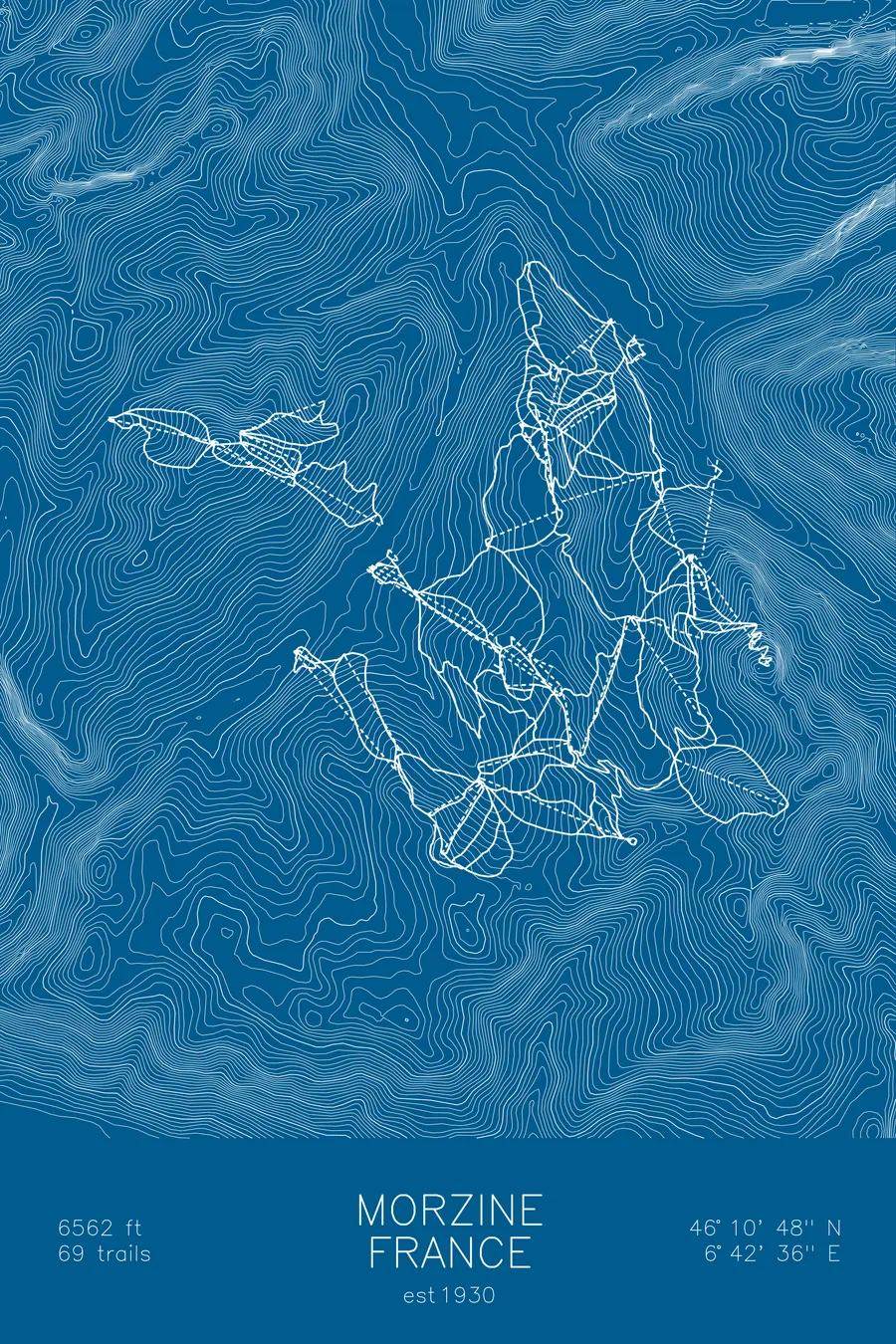
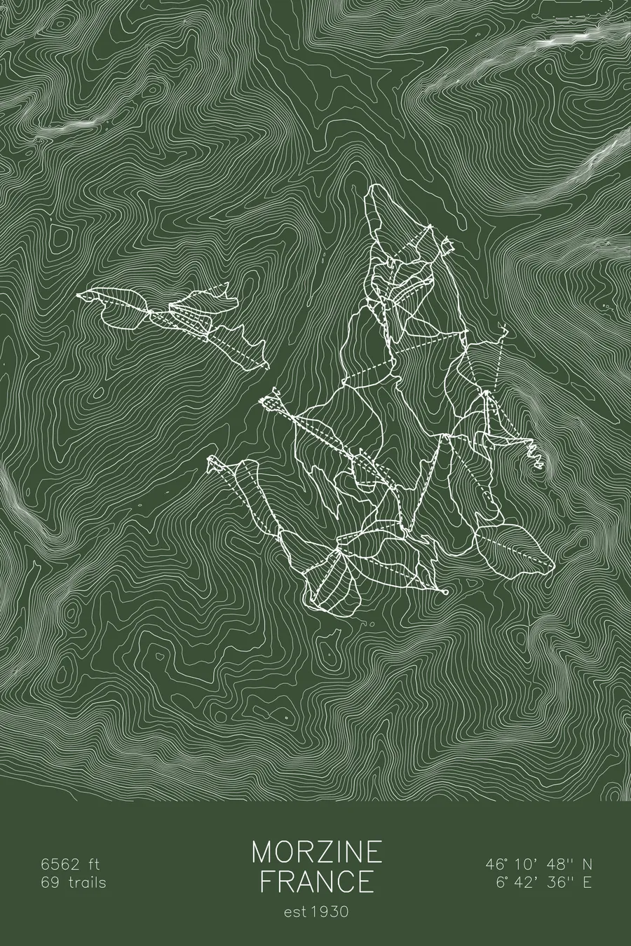
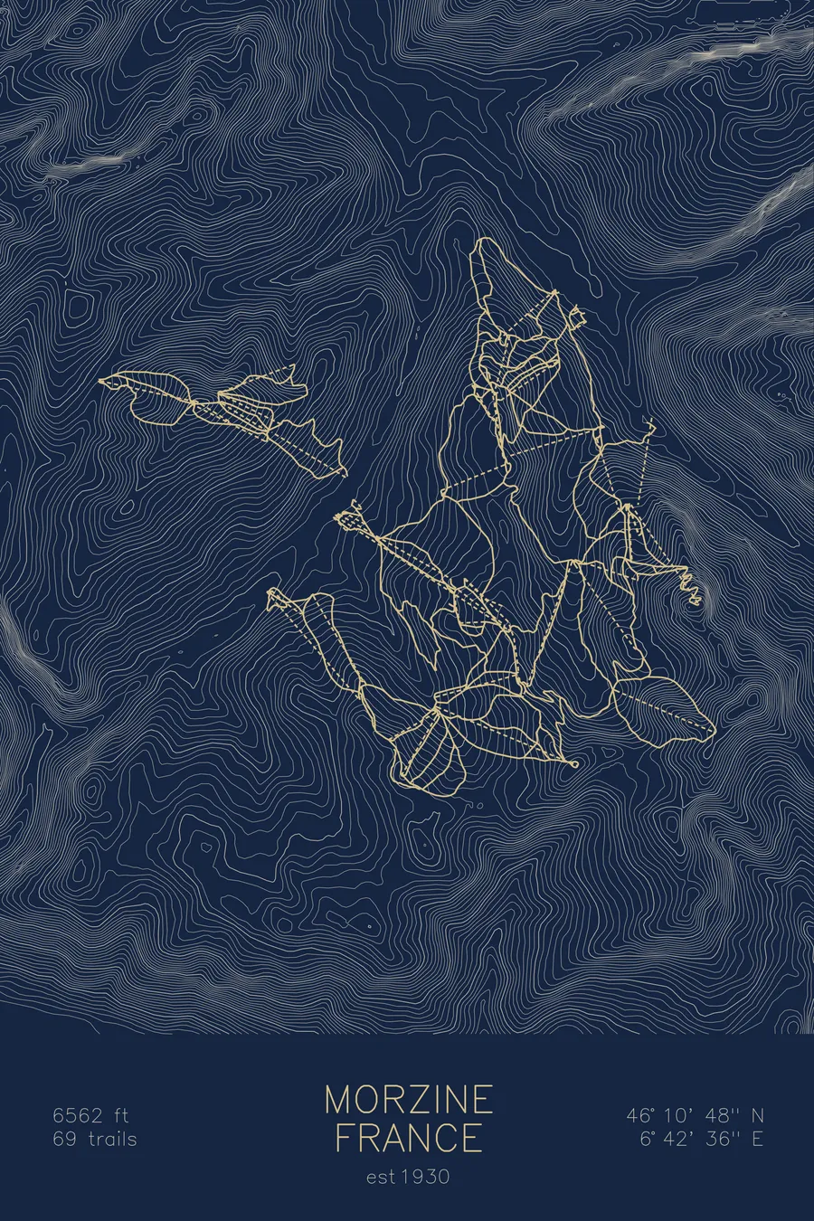
A topographic ski map of Morzine, France, with the resort's runs and lifts drawn over real terrain in a minimalist contour-line design.
A classic Savoyard village at the heart of the Portes du Soleil, ringed by wooded ridgelines on the French-Swiss border.
$63
Ink & paper: Arctic White
Size: 12×18"
+Personalize this map
+ Details
- 12 × 18 inches
- Drawn on 98 lb (160 gsm) archival cotton paper
- Precision technical pens and archival inks
- Signed and dated on the back
- Ships flat, protected, ready to frame
Each map begins with elevation data and is drawn by a pen plotter in our Vermont studio. Mechanical precision, plus the texture and small imperfections of real ink on paper.
Off the screen
In real rooms



















+ About this map
Before Morzine was a ski town it was known for demonic possession. Beginning on March 14, 1857 with a ten-year-old girl named Peronne Tavernier, more than 200 local women and girls fell into trances and spoke in altered voices, in what became one of Europe’s last mass possession episodes; when France annexed Savoy in 1860, the government’s response was to dispatch prominent psychiatrists to investigate the town. Morzine has since settled into a quieter line of work as a working Savoyard market town at the heart of the Portes du Soleil, one of the largest linked ski areas in the world, spanning a dozen resorts across the French-Swiss border, with lifts rising straight from town toward Les Gets on one side and Avoriaz on the other.
The skiing is the Alps at their friendliest: tree-lined pistes, broad open ridges, and long border-hopping circuits that can fill a week without repeating a run. Unlike purpose-built resorts, Morzine existed long before the lifts, and its slate roofs and river valley keep it feeling like a real town. This map traces the folded terrain that surrounds it.
+ Map details
- Morzine
- France
- Alps
- 46.1791N 6.7098E
- Ski resort trail map
- Original pen plot, archival ink on cotton paper
- 8 × 12 in · 12 × 18 in · 18 × 24 in
More maps