New Zealand
Mount Aspiring
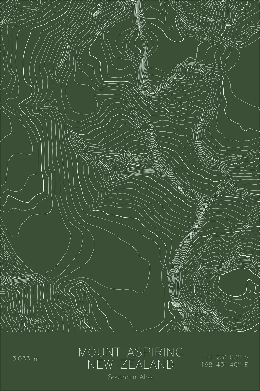
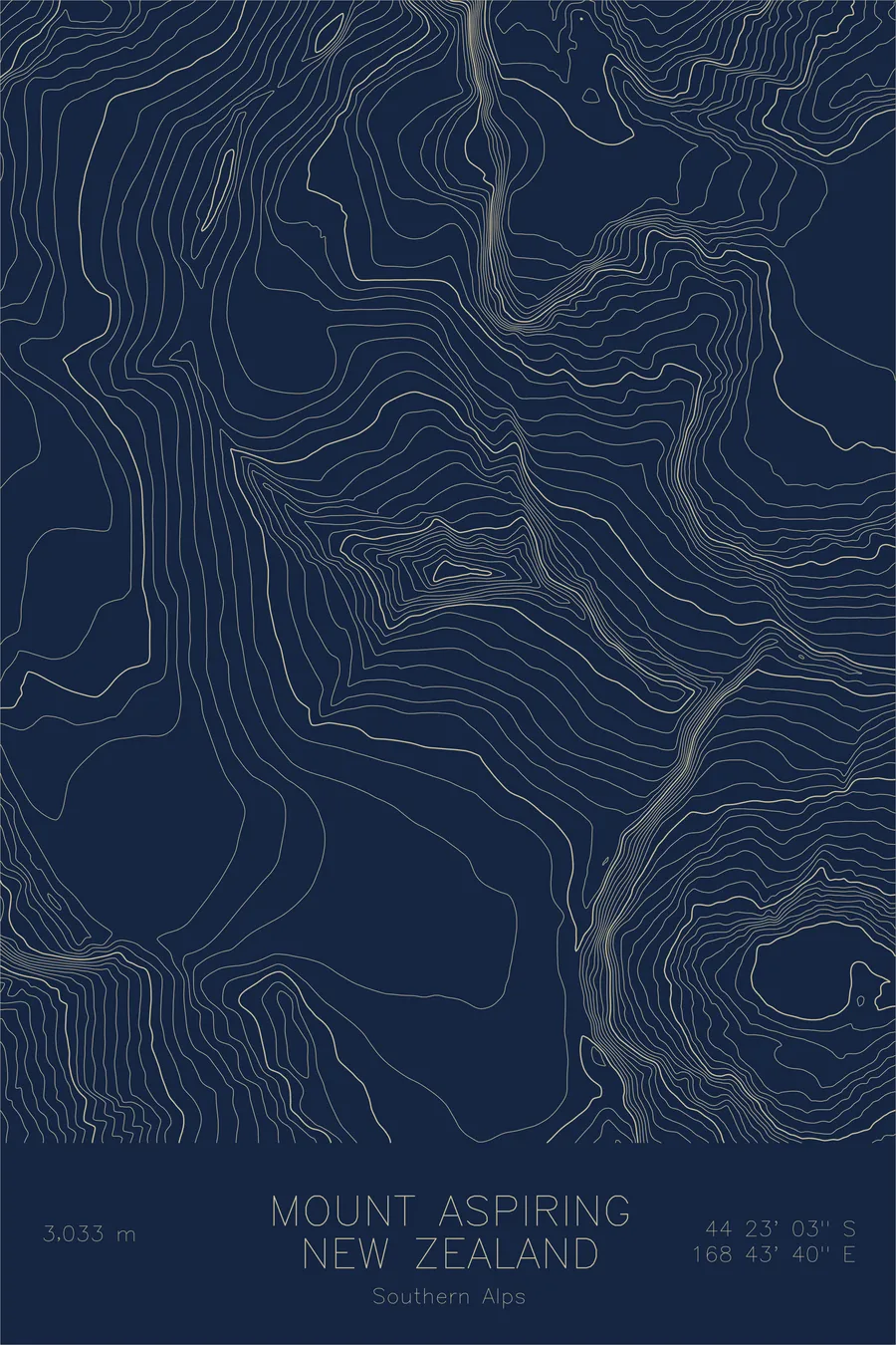
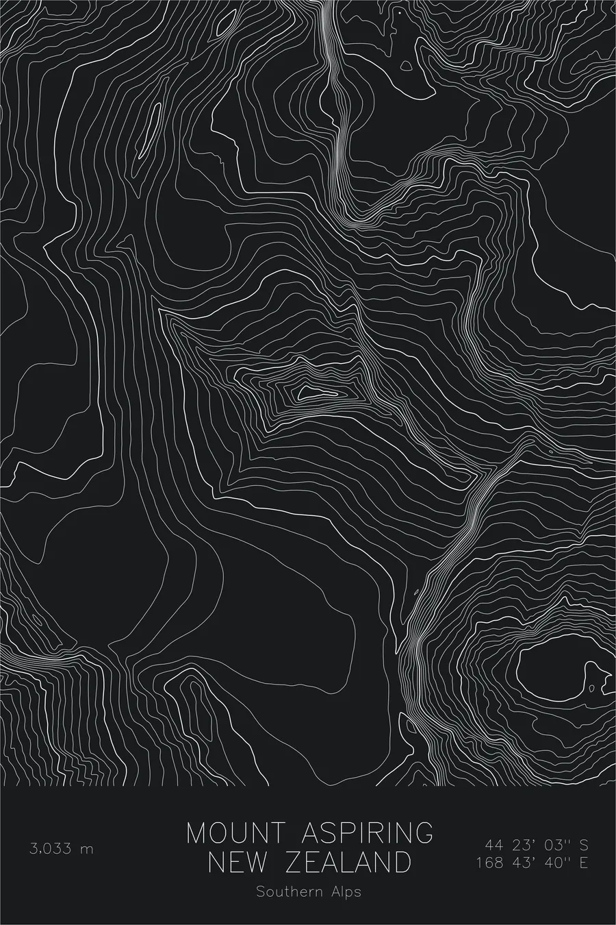
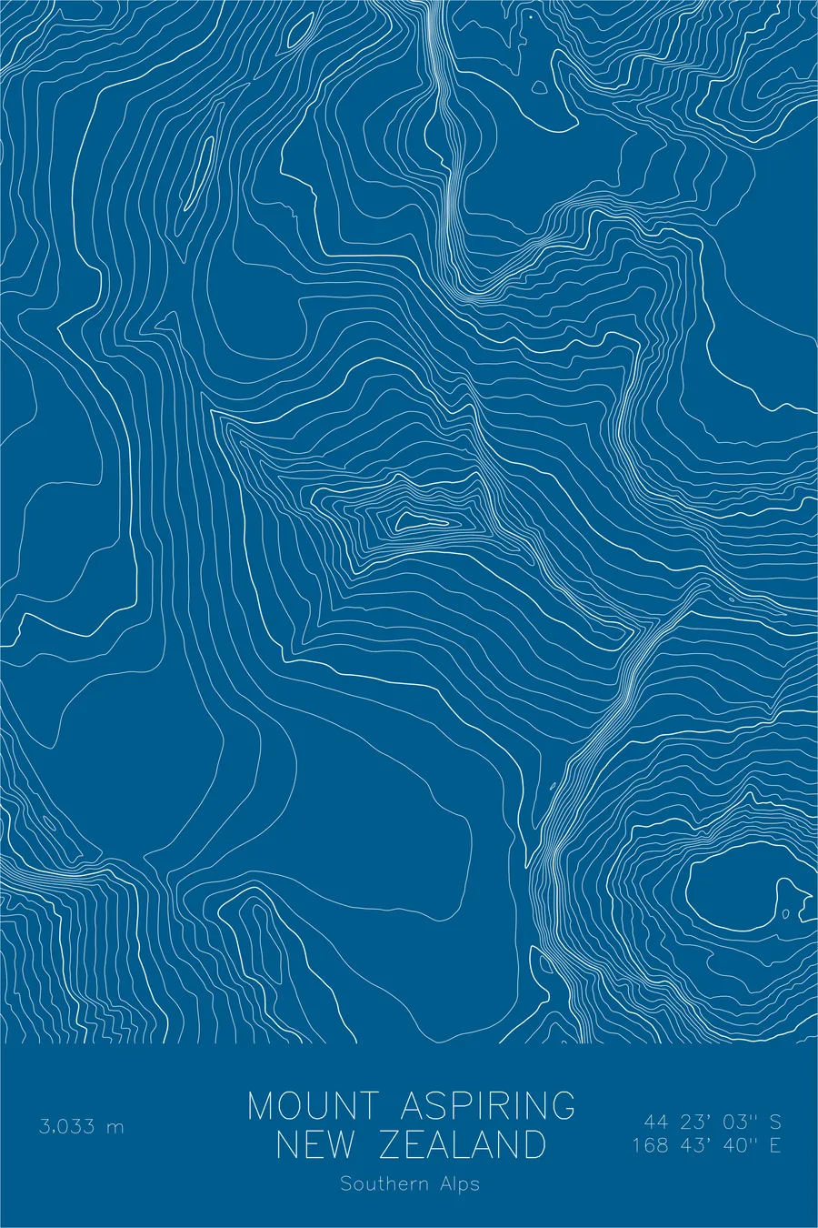
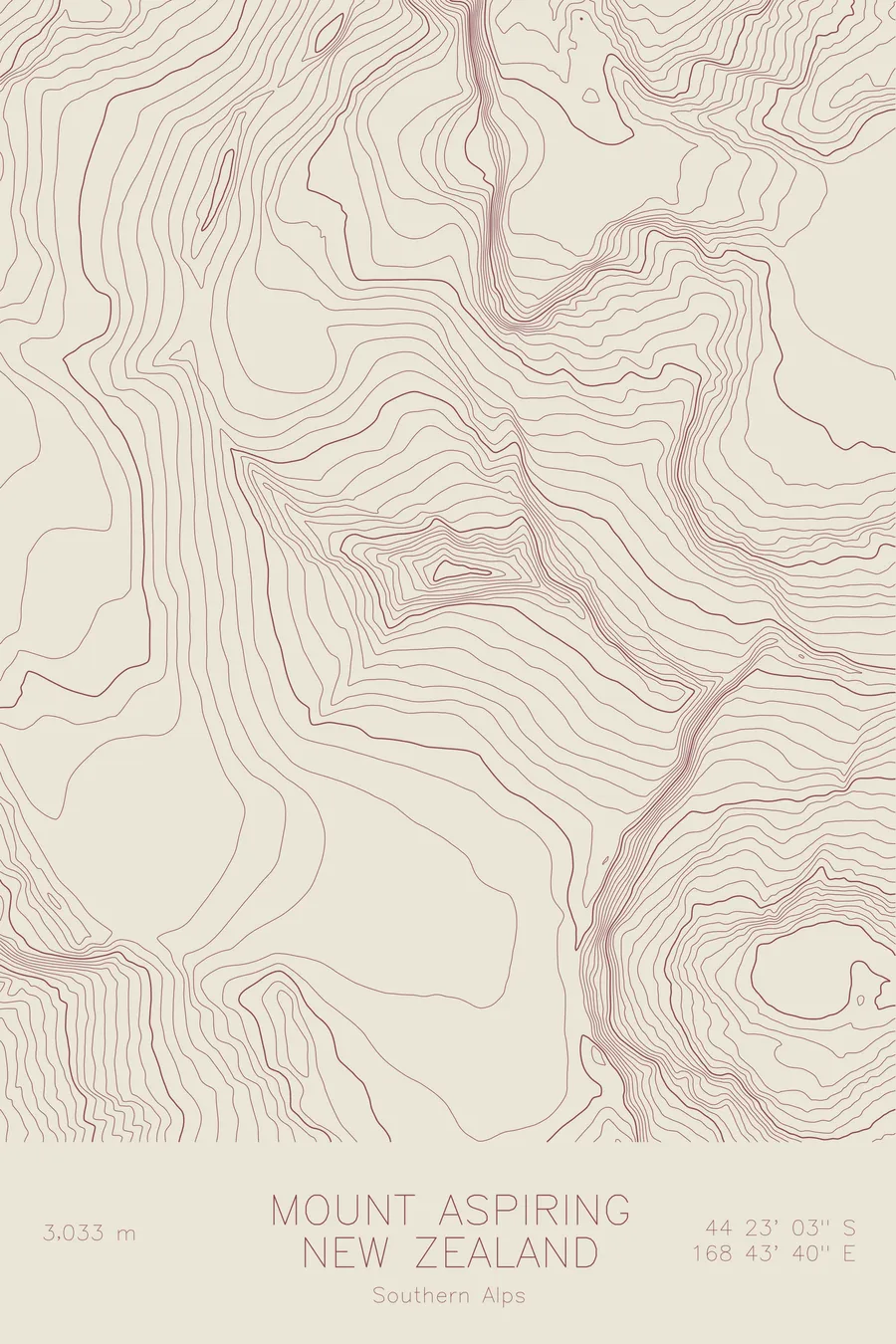
A pen-plotted topographic map of Mount Aspiring in the Southern Alps, New Zealand, drawn from real elevation contour data.
Matterhorn of the South. 9,951 feet above sea level.
$54
Ink & paper: Green
Size: 12×18"
+Personalize this map
+ Details
- 12 × 18 inches
- Drawn on 98 lb (160 gsm) archival cotton paper
- Precision technical pens and archival inks
- Signed and dated on the back
- Ships flat, protected, ready to frame
Each map begins with elevation data and is drawn by a pen plotter in our Vermont studio. Mechanical precision, plus the texture and small imperfections of real ink on paper.
Off the screen
In real rooms



















+ About this map
Mount Aspiring rises 9,951 feet in New Zealand’s Southern Alps, the highest peak in the country outside the Aoraki/Mount Cook region. Its Maori name is Tititea, often translated as glistening peak, and climbers know it as the Matterhorn of the South for the clean pyramidal horn it presents above the Matukituki Valley. The mountain anchors Mount Aspiring National Park, part of the Te Wahipounamu World Heritage area.
This map shows how the horn was made. The contour lines trace sharp ridges converging on the summit from three directions, a pyramid carved by glaciers grinding at every face. The Bonar Glacier spreads as a high plateau of ice against the mountain’s southern flank, and the deep parallel troughs of the Matukituki branches record where far larger ice-age glaciers cut the valleys that now frame the peak.
+ Map details
- Mount Aspiring
- New Zealand
- Southern Alps
- Southern Alps
- 9,951 ft / 3,033 m
- 44.3842S 168.7278E
- Mountain topographic map
- Original pen plot, archival ink on cotton paper
- 8 × 12 in · 12 × 18 in · 18 × 24 in
- Matterhorn of the South
More maps