New Zealand
Aoraki/Mount Cook
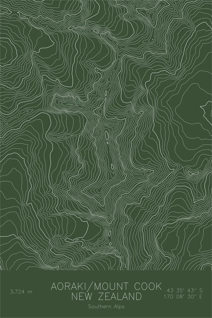
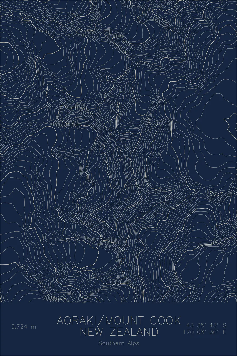
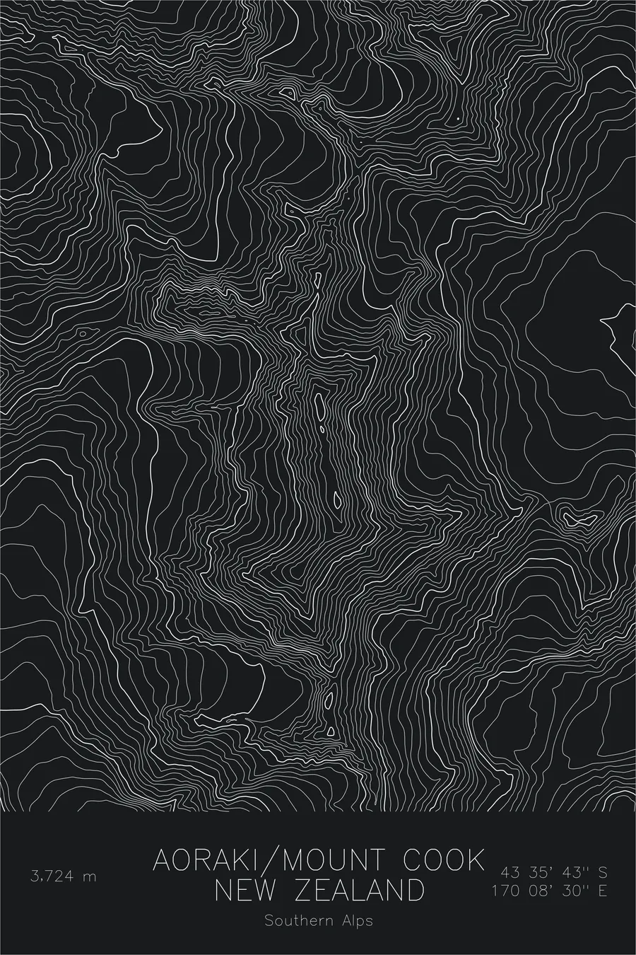
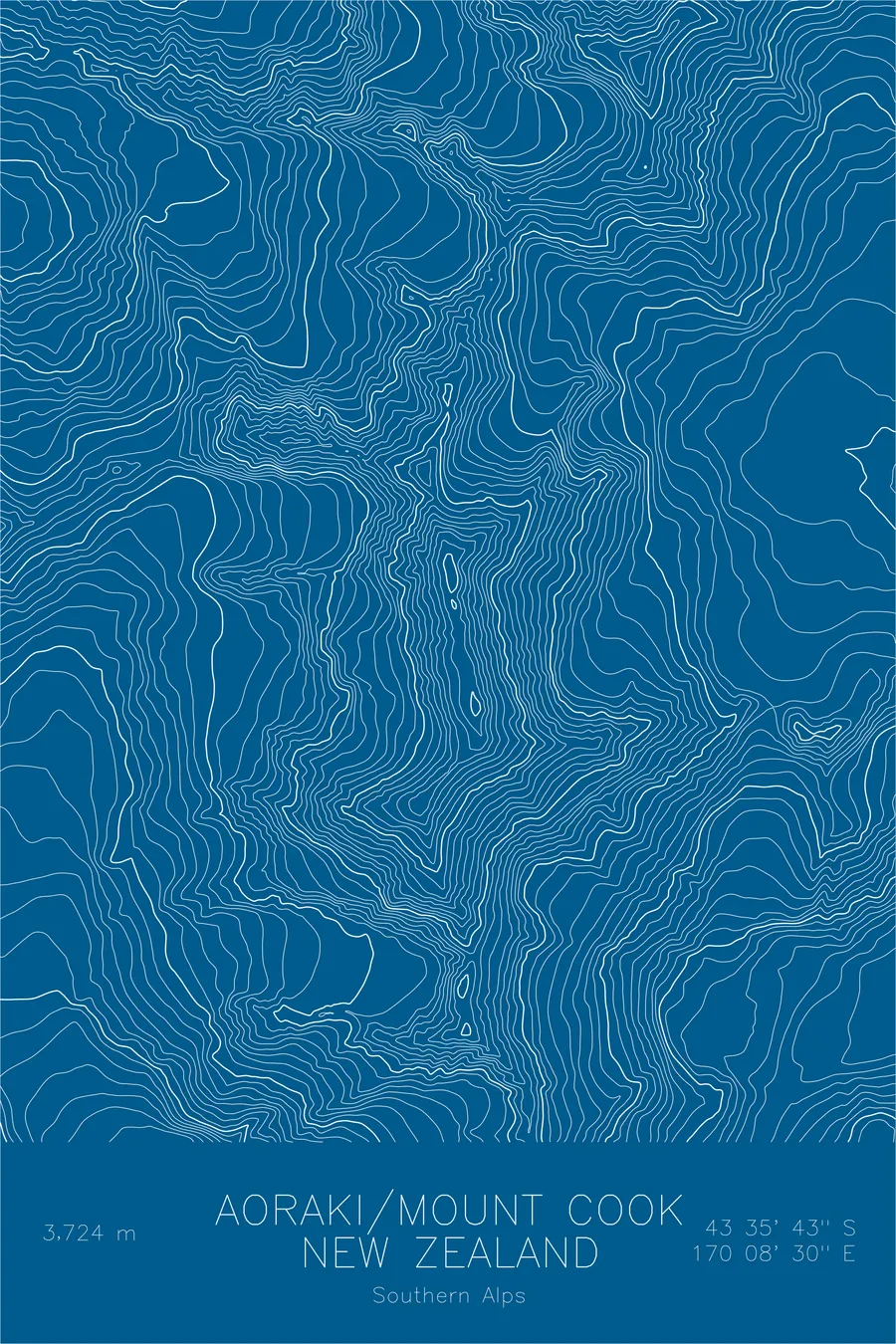
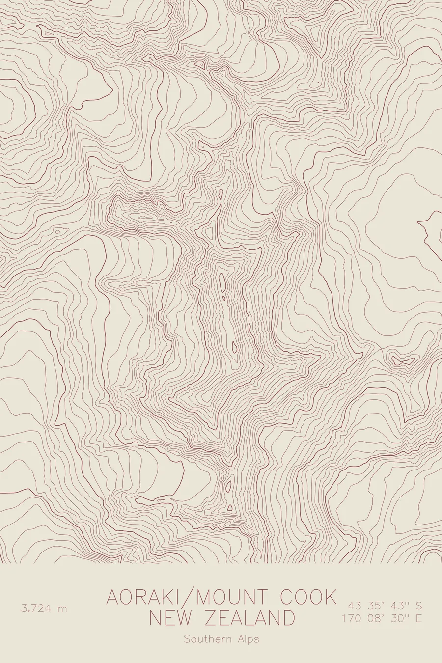
A pen-plotted topographic map of Aoraki/Mount Cook in the Southern Alps, New Zealand, drawn from real elevation contour data.
Highest peak in New Zealand. 12,218 feet above sea level.
$54
Ink & paper: Navy
Size: 12×18"
+Personalize this map
+ Details
- 12 × 18 inches
- Drawn on 98 lb (160 gsm) archival cotton paper
- Precision technical pens and archival inks
- Signed and dated on the back
- Ships flat, protected, ready to frame
Each map begins with elevation data and is drawn by a pen plotter in our Vermont studio. Mechanical precision, plus the texture and small imperfections of real ink on paper.
Off the screen
In real rooms



















+ About this map
Aoraki/Mount Cook rises 12,218 feet in the Southern Alps, the highest mountain in New Zealand. To Ngai Tahu, the Maori people of the South Island, Aoraki is an ancestor, and the name is often translated as cloud piercer. The summit lost roughly thirty feet of height when its ice cap collapsed in 1991, but nothing diminished its standing among climbers: Edmund Hillary honed his craft on its ridges before Everest.
This map shows a mountain built by collision and carved by ice. The contour lines trace the long summit ridge running between the Hooker Valley on the west and the Tasman Valley on the east, each floor holding one of New Zealand’s great glaciers. The tight banding on the eastern face records the drop toward the Tasman Glacier, the longest in the country, and the neighboring crest of Mount Tasman continues the wall of ice to the north.
+ Map details
- Aoraki/Mount Cook
- New Zealand
- Southern Alps
- Southern Alps
- 12,218 ft / 3,724 m
- 43.5952S 170.1418E
- Mountain topographic map
- Original pen plot, archival ink on cotton paper
- 8 × 12 in · 12 × 18 in · 18 × 24 in
- Highest peak in New Zealand
More maps