Australia
Mount Kosciuszko
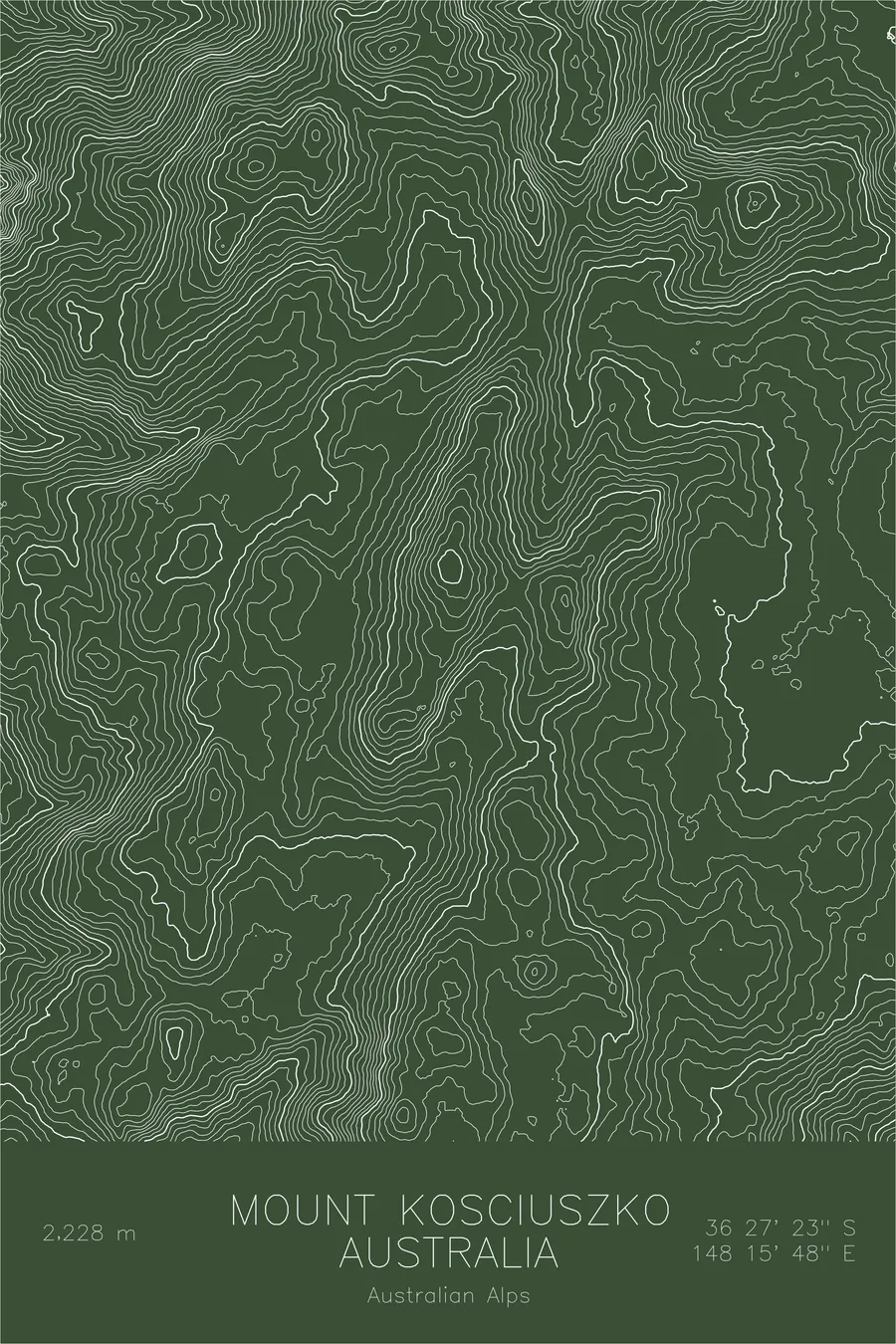
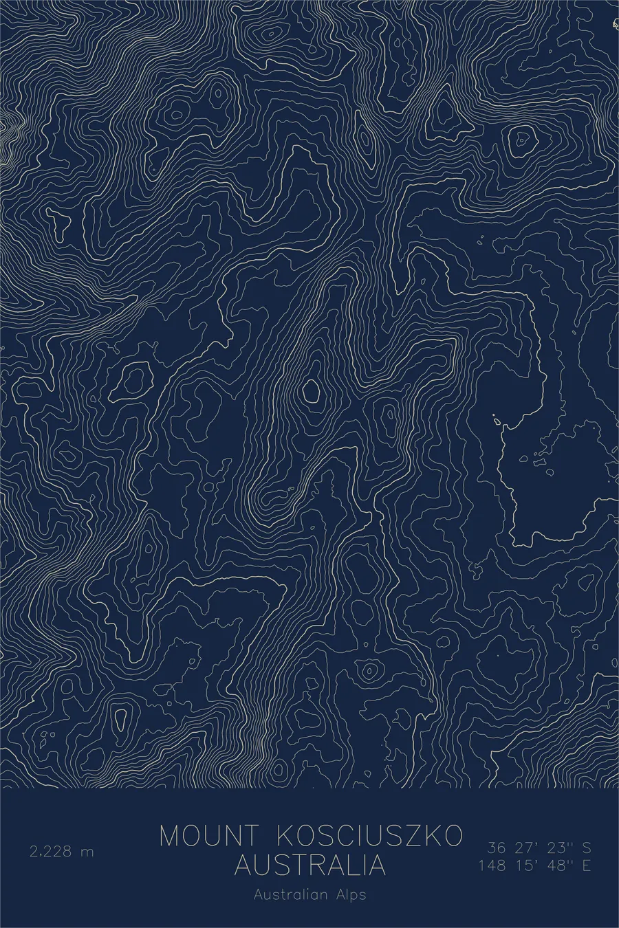
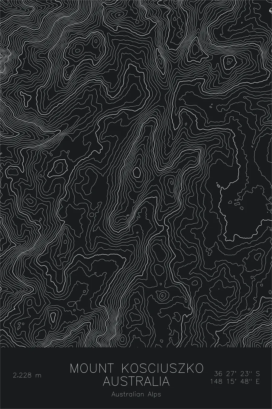
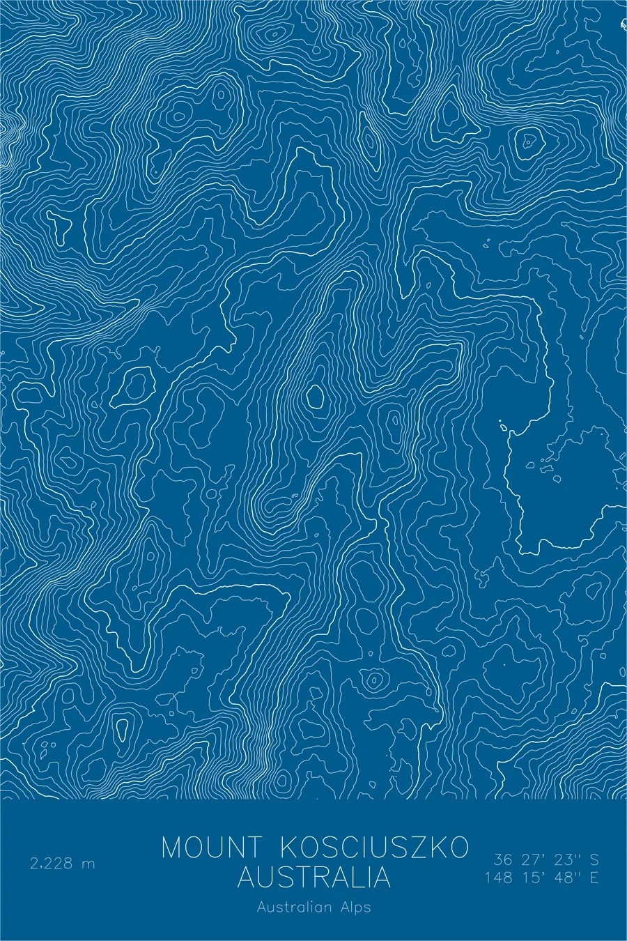
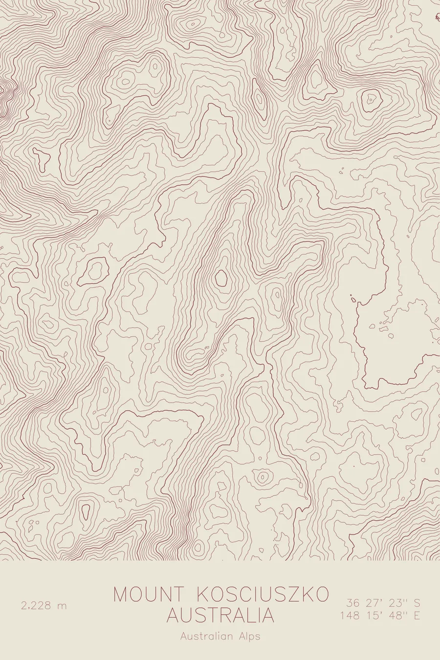
A pen-plotted topographic map of Mount Kosciuszko in the Australian Alps, Australia, drawn from real elevation contour data.
Highest peak in Australia, Seven Summits. 7,310 feet above sea level.
$54
Ink & paper: Green
Size: 12×18"
+Personalize this map
+ Details
- 12 × 18 inches
- Drawn on 98 lb (160 gsm) archival cotton paper
- Precision technical pens and archival inks
- Signed and dated on the back
- Ships flat, protected, ready to frame
Each map begins with elevation data and is drawn by a pen plotter in our Vermont studio. Mechanical precision, plus the texture and small imperfections of real ink on paper.
Off the screen
In real rooms



















+ About this map
Mount Kosciuszko rises 7,310 feet in the Snowy Mountains of southeastern Australia, the highest peak on the Australian mainland and the gentlest member of the Seven Summits. The Polish explorer Paul Strzelecki named it in the 1840s for Tadeusz Kosciuszko, a hero of revolutions on two continents. There is no scramble to the top: a walking track crosses open alpine country to a summit a fit hiker can reach and return from in an afternoon.
This map shows what old, stable land looks like at altitude. The contour lines roll in wide, easy curves across the Main Range, a high plateau rather than a crest of spires. The exceptions are the small glacial cirques scooped out during the last ice age, including the hollow holding Lake Cootapatamba just below the summit, the highest lake in Australia, and the ridgeline running north toward Mount Townsend, the mainland’s second highest point.
+ Map details
- Mount Kosciuszko
- Australia
- Australian Alps
- Australian Alps
- 7,310 ft / 2,228 m
- 36.4564S 148.2632E
- Mountain topographic map
- Original pen plot, archival ink on cotton paper
- 8 × 12 in · 12 × 18 in · 18 × 24 in
- Highest peak in Australia, Seven Summits
More maps