California
Mount Langley
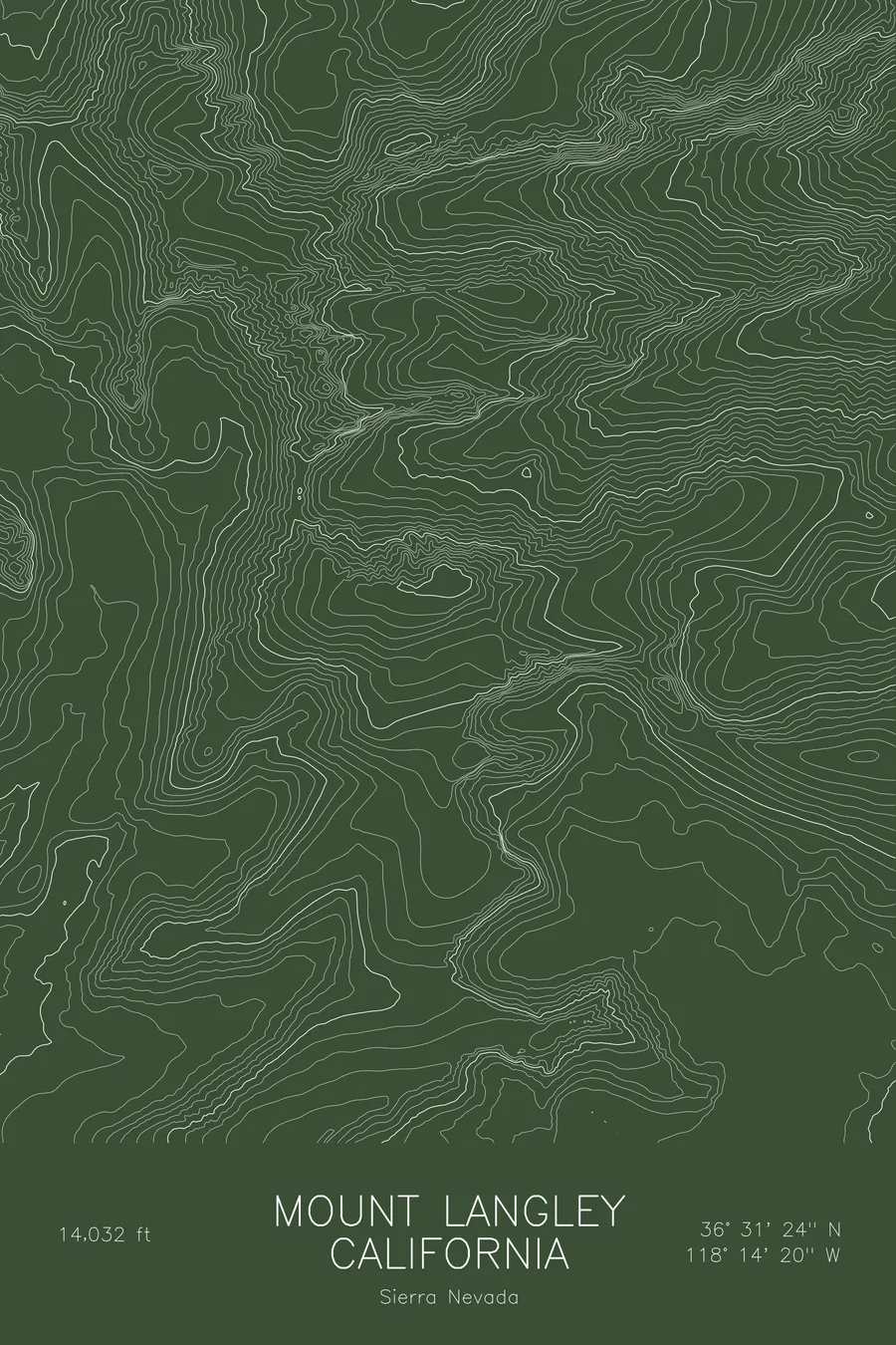
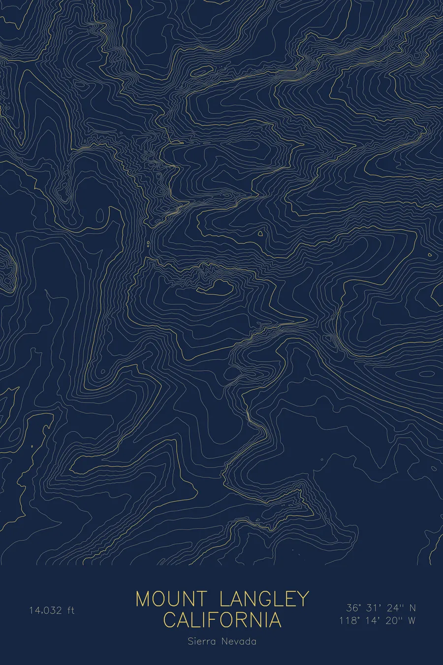
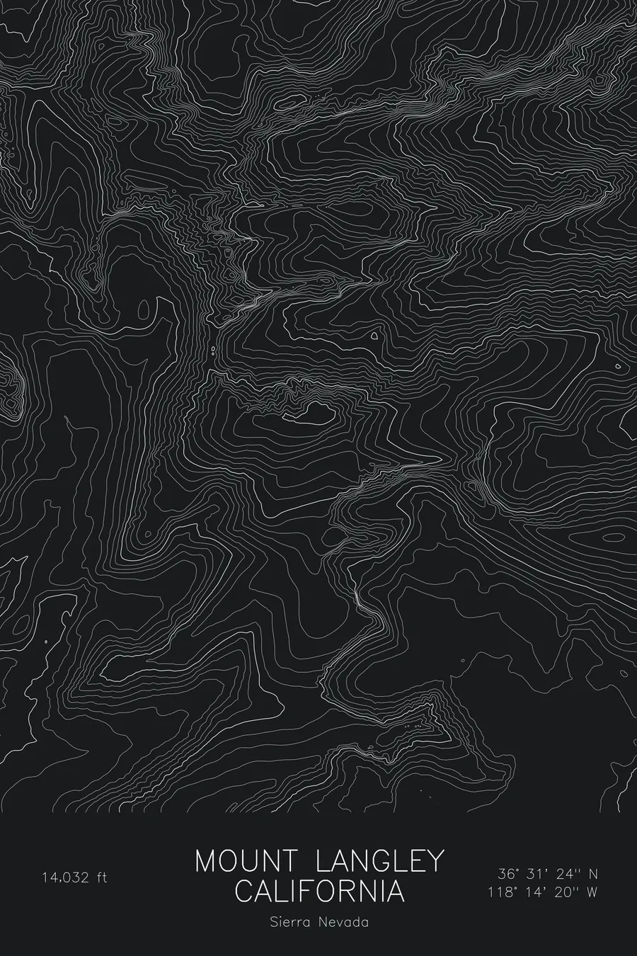
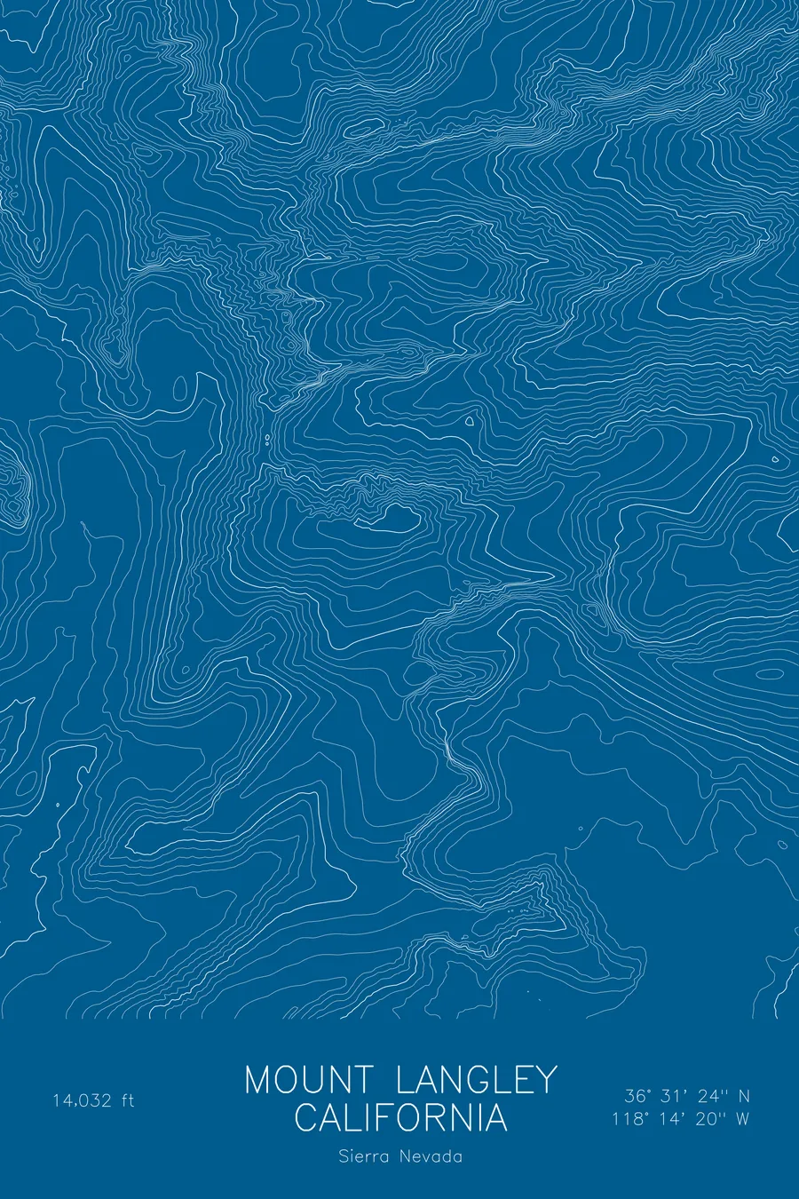
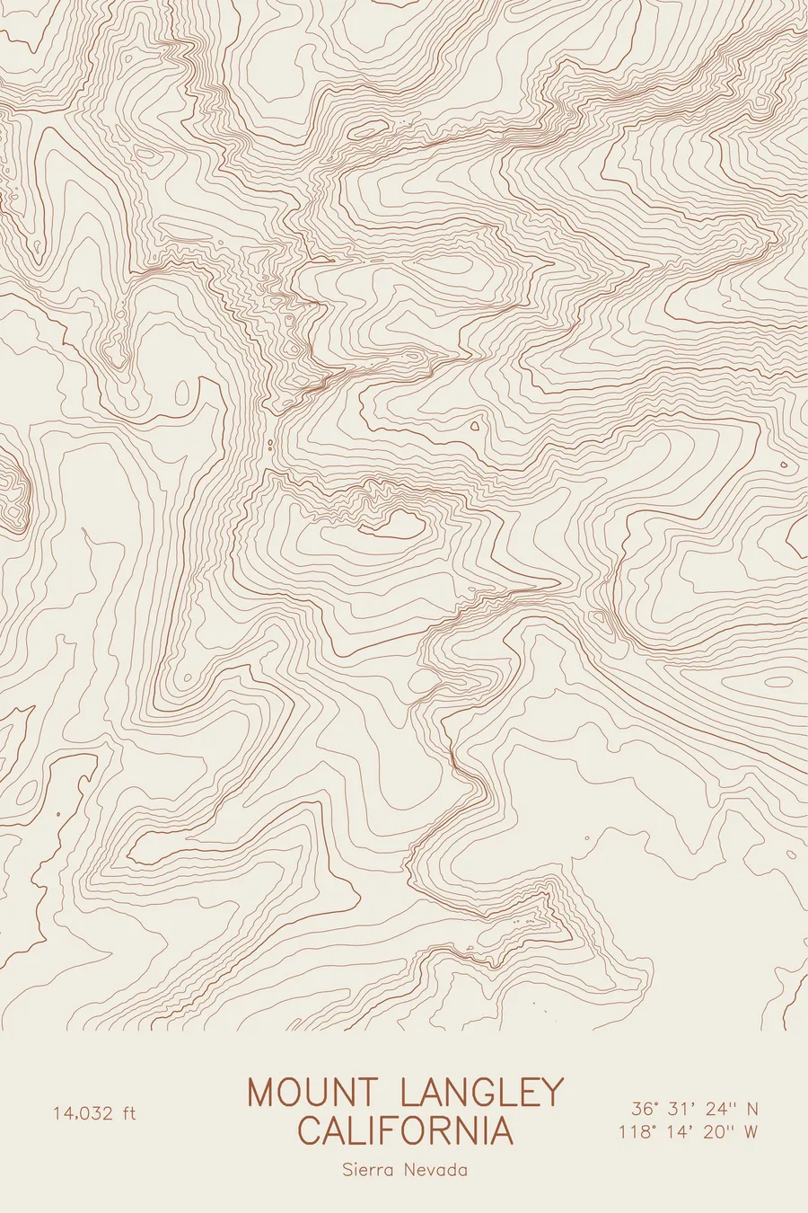
A pen-plotted topographic map of Mount Langley in the Sierra Nevada, California, drawn from real elevation contour data.
Southernmost California 14er, on the Sierra Crest south of Whitney. 14,032 feet above sea level.
$54
Ink & paper: Blue
Size: 12×18"
+Personalize this map
+ Details
- 12 × 18 inches
- Drawn on 98 lb (160 gsm) archival cotton paper
- Precision technical pens and archival inks
- Signed and dated on the back
- Ships flat, protected, ready to frame
Each map begins with elevation data and is drawn by a pen plotter in our Vermont studio. Mechanical precision, plus the texture and small imperfections of real ink on paper.
Off the screen
In real rooms



















+ About this map
Mount Langley rises to 14,032 feet on the crest of California’s Sierra Nevada, the southernmost fourteener in the state and the last high peak before the range begins its long descent toward the Mojave. It stands a few miles south of Mount Whitney, above the Cottonwood Lakes basin, and is often climbed as a first Sierra fourteener because the approach from Horseshoe Meadows gains the crest by way of New Army Pass rather than a technical face.
This map traces the sharp contrast between the two sides of the crest. To the west and south the contour lines are widely spaced across the plateau above Cottonwood Lakes, a gentle high country of lakes and meadows. To the north and east they compress into dense bands where the mountain drops toward the Owens Valley, with the steep north face falling toward the Tuttle Creek drainage. Within this frame the terrain covers about 6,100 feet of relief, and the asymmetry of the map is the asymmetry of the whole Sierra: a long, gradual western slope and an abrupt eastern escarpment.
+ Map details
- Mount Langley
- California
- United States
- Sierra Nevada
- Sierra Nevada
- 14,032 ft / 4,277 m
- 36.5233N 118.2390W
- Mountain topographic map
- Original pen plot, archival ink on cotton paper
- 8 × 12 in · 12 × 18 in · 18 × 24 in
- Southernmost California 14er, on the Sierra Crest south of Whitney
More maps