California
Mount San Jacinto
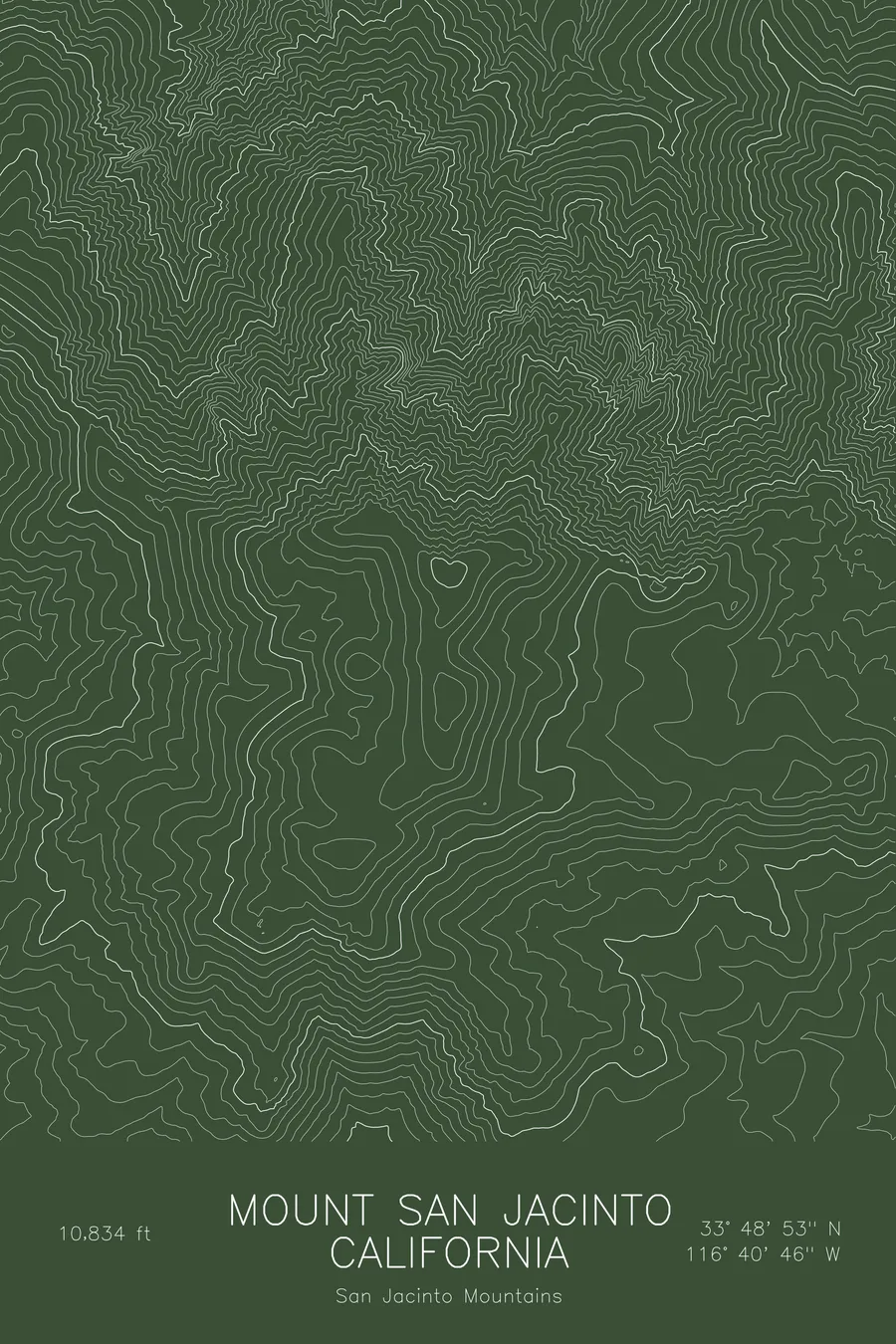
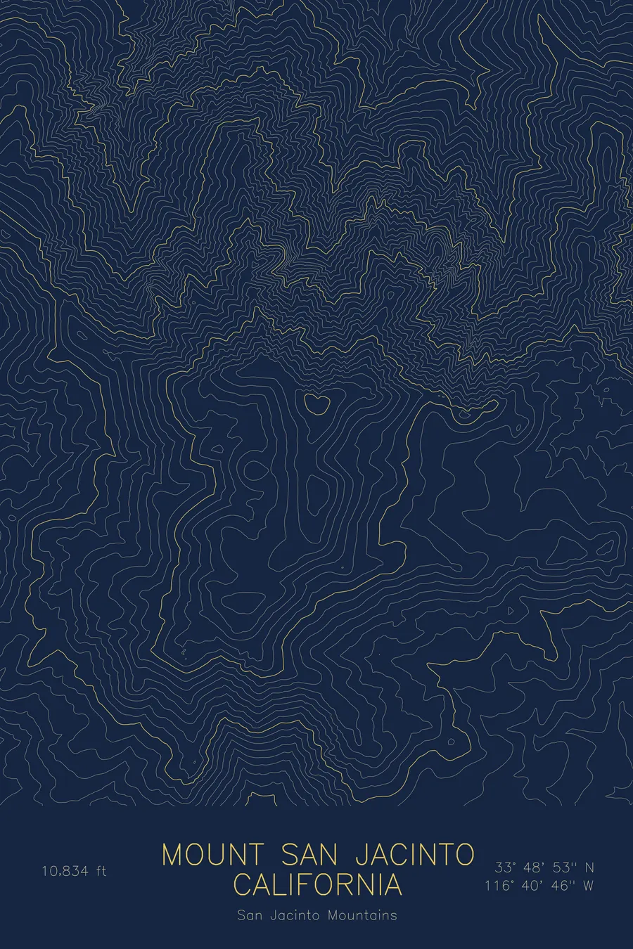
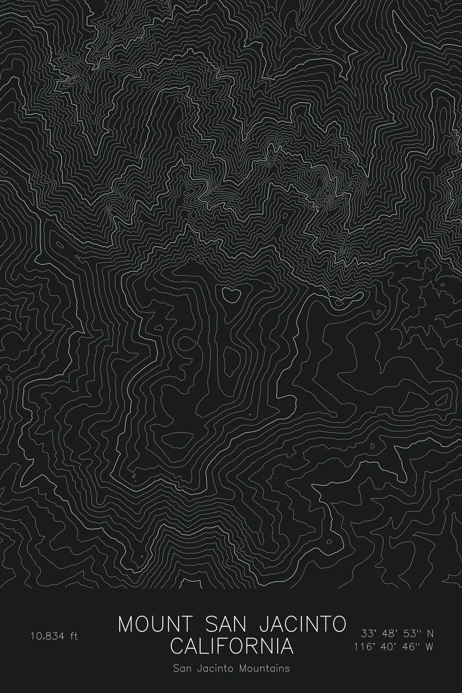
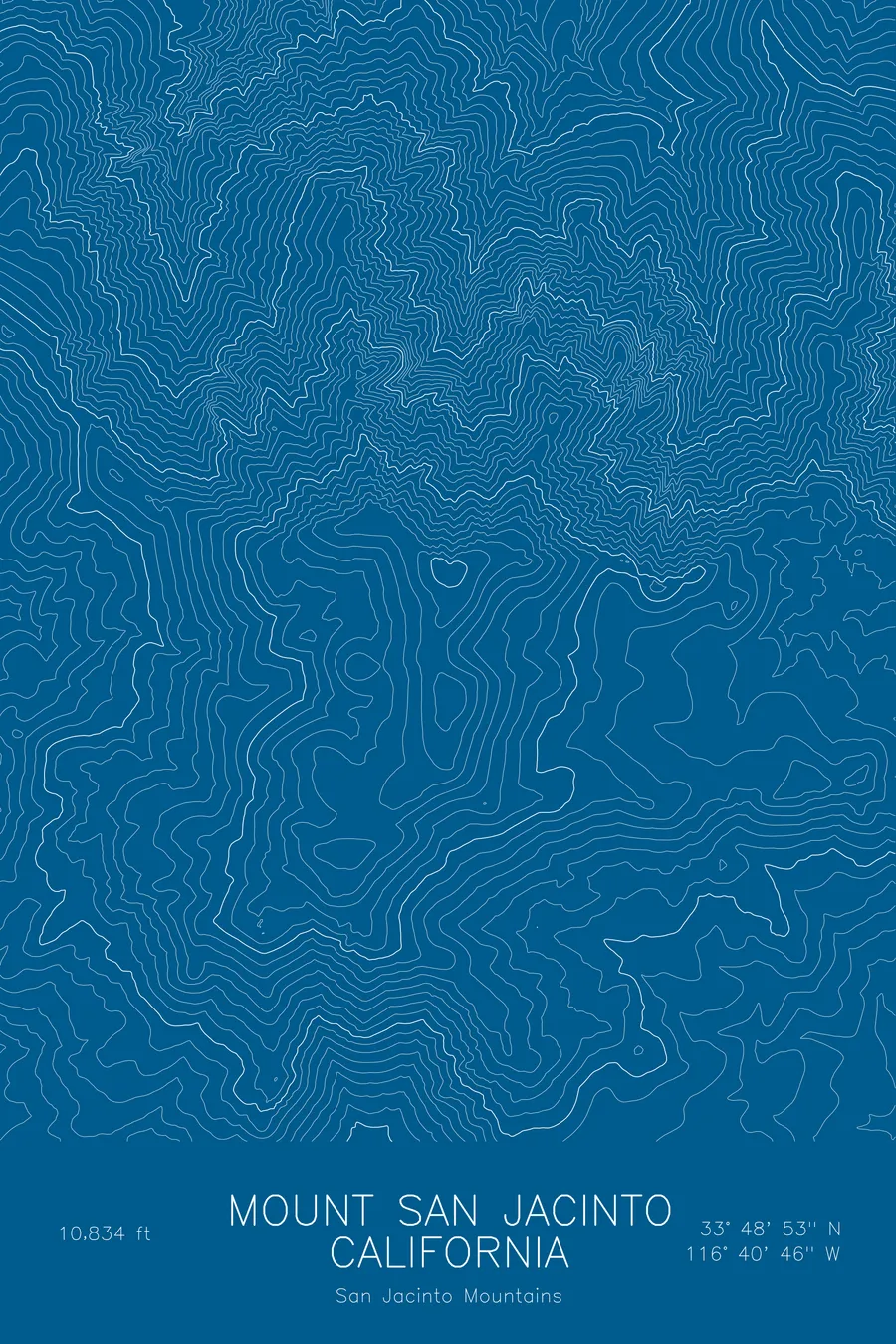
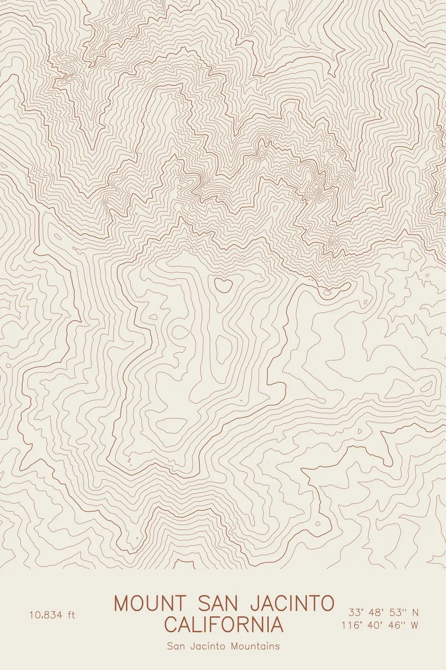
A pen-plotted topographic map of Mount San Jacinto in the San Jacinto Mountains, California, drawn from real elevation contour data.
Highest peak of the San Jacinto Mountains above Palm Springs. 10,834 feet above sea level.
$54
Ink & paper: Blue
Size: 12×18"
+Personalize this map
+ Details
- 12 × 18 inches
- Drawn on 98 lb (160 gsm) archival cotton paper
- Precision technical pens and archival inks
- Signed and dated on the back
- Ships flat, protected, ready to frame
Each map begins with elevation data and is drawn by a pen plotter in our Vermont studio. Mechanical precision, plus the texture and small imperfections of real ink on paper.
Off the screen
In real rooms



















+ About this map
Mount San Jacinto rises to 10,834 feet above Palm Springs, California, the highest peak of the San Jacinto Mountains and one of the most abrupt mountain fronts in North America. From the floor of the Coachella Valley the north face climbs nearly two vertical miles in a few horizontal miles, a wall of granite that catches snow while the desert below sits in the sun. The Palm Springs Aerial Tramway climbs the escarpment to the high forest, and the Cactus to Clouds route walks the whole thing from the valley floor.
This map traces that escarpment. The contour lines on the north and east sides are compressed into dense, almost unbroken bands, following the ridges and chutes that fall toward the desert. To the west and south the spacing opens up across the forested plateau of the state park and wilderness, where the summit is reached by comparatively gentle trails. Within this frame the terrain covers more than 7,000 feet, all of it inside a frame a few miles across.
+ Map details
- Mount San Jacinto
- California
- United States
- San Jacinto Mountains
- San Jacinto Mountains
- 10,834 ft / 3,302 m
- 33.8147N 116.6794W
- Mountain topographic map
- Original pen plot, archival ink on cotton paper
- 8 × 12 in · 12 × 18 in · 18 × 24 in
- Highest peak of the San Jacinto Mountains above Palm Springs
More maps