Canada
Mount Robson
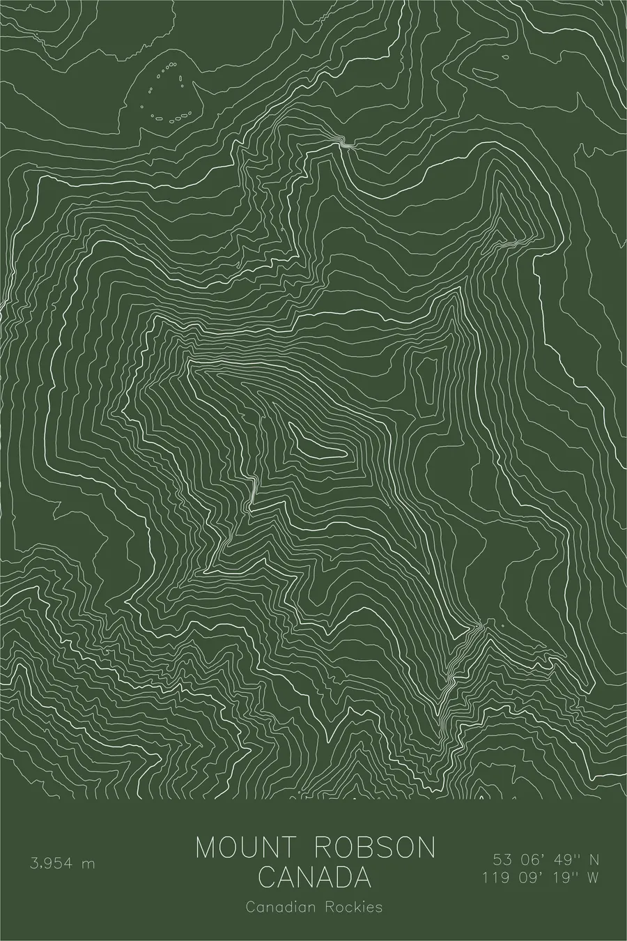
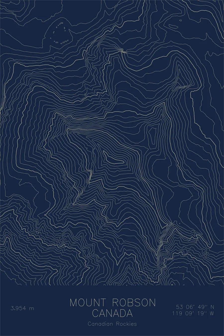
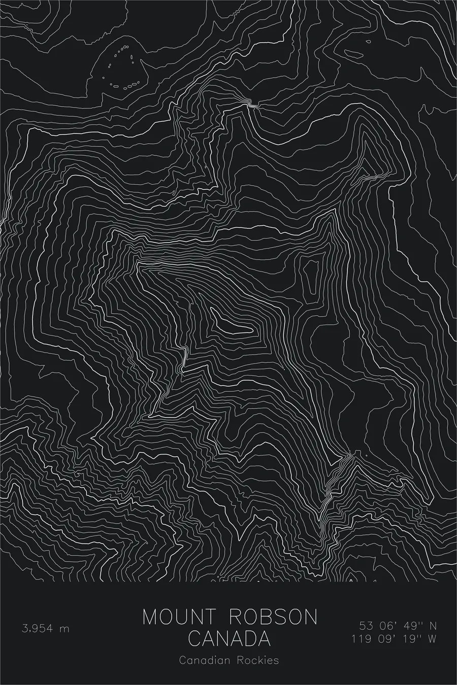
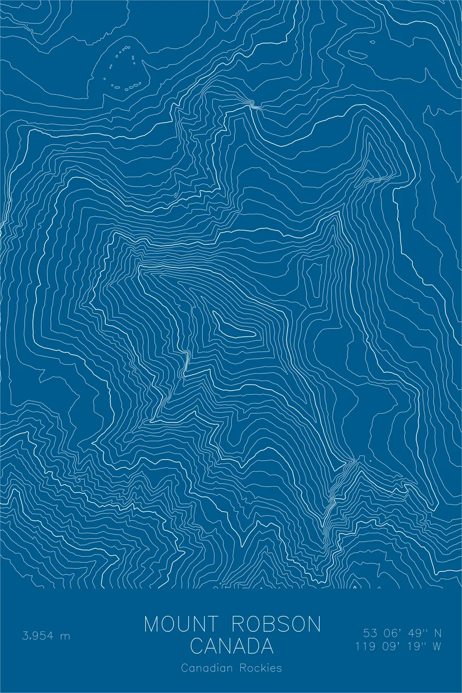
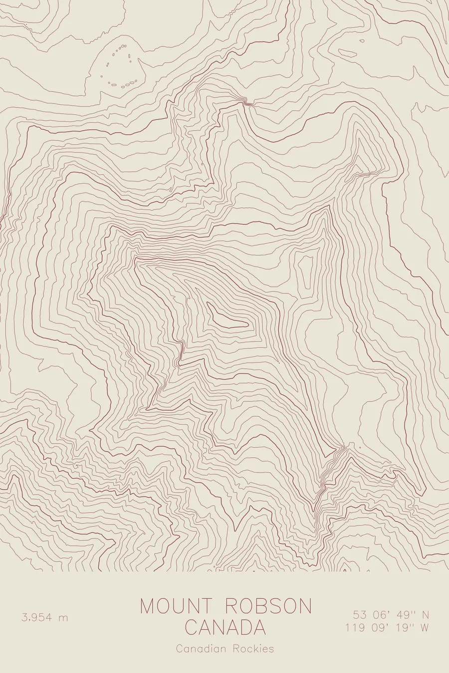
A pen-plotted topographic map of Mount Robson in the Canadian Rockies, Canada, drawn from real elevation contour data.
Highest peak in the Canadian Rockies. 12,972 feet above sea level.
$54
Ink & paper: Navy
Size: 12×18"
+Personalize this map
+ Details
- 12 × 18 inches
- Drawn on 98 lb (160 gsm) archival cotton paper
- Precision technical pens and archival inks
- Signed and dated on the back
- Ships flat, protected, ready to frame
Each map begins with elevation data and is drawn by a pen plotter in our Vermont studio. Mechanical precision, plus the texture and small imperfections of real ink on paper.
Off the screen
In real rooms



















+ About this map
Mount Robson rises 12,972 feet in British Columbia, the highest peak in the Canadian Rockies. What sets it apart is the relief: the south face climbs nearly 10,000 feet straight out of the valley floor, one of the greatest vertical rises of any mountain in North America. The peak makes its own weather and spends much of the year wrapped in cloud, which only adds to its reputation among alpinists as a serious and elusive summit.
This map captures the mountain’s full topographic footprint. The contour lines crowd together on the Emperor Face and the great south wall, then open into the ice of the Robson and Berg glaciers on the north side, where the Berg calves directly into Berg Lake. The lines trace the sweep of the Valley of a Thousand Falls and the long approach past Kinney Lake, showing how completely this single massif dominates the terrain around it.
+ Map details
- Mount Robson
- Canada
- Canadian Rockies
- Canadian Rockies
- 12,972 ft / 3,954 m
- 53.1135N 119.1553W
- Mountain topographic map
- Original pen plot, archival ink on cotton paper
- 8 × 12 in · 12 × 18 in · 18 × 24 in
- Highest peak in the Canadian Rockies
More maps