Alberta
Lake Louise
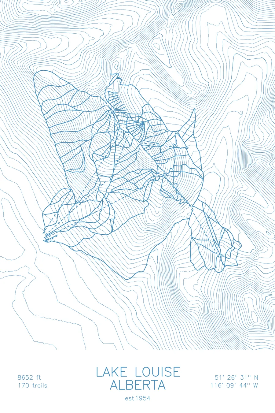
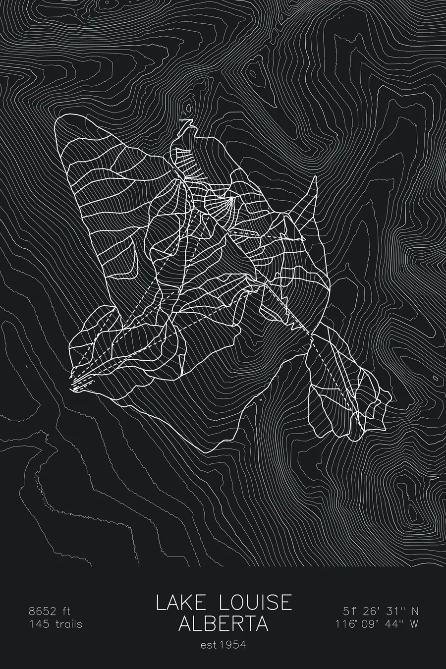
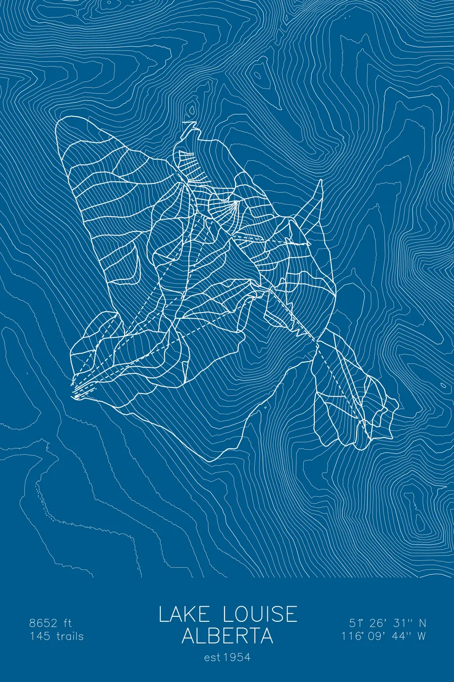
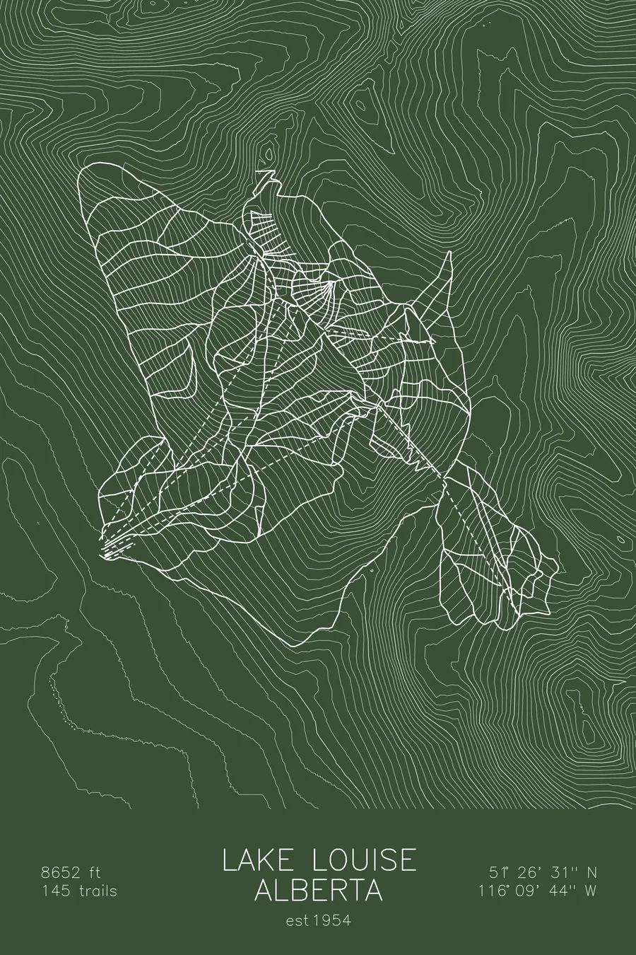
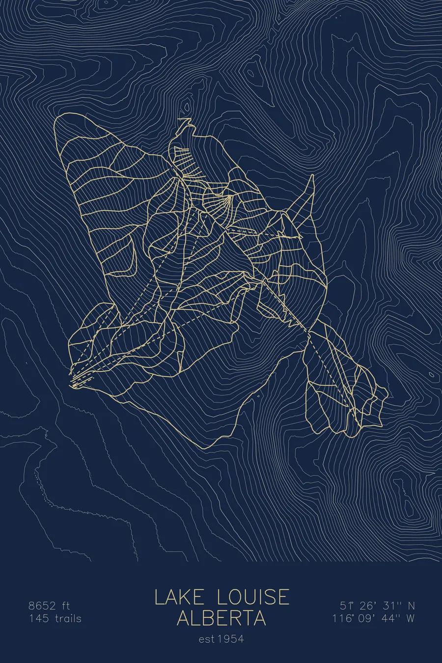
A topographic ski map of Lake Louise, Alberta, with the resort's runs and lifts drawn over real terrain in a minimalist contour-line design.
Est. 1954. 145 trails. 8,652 feet above sea level.
$63
Ink & paper: Arctic White
Size: 12×18"
+Personalize this map
+ Details
- 12 × 18 inches
- Drawn on 98 lb (160 gsm) archival cotton paper
- Precision technical pens and archival inks
- Signed and dated on the back
- Ships flat, protected, ready to frame
Each map begins with elevation data and is drawn by a pen plotter in our Vermont studio. Mechanical precision, plus the texture and small imperfections of real ink on paper.
Off the screen
In real rooms



















+ About this map
Lake Louise sits inside Banff National Park in the Canadian Rockies, one of the largest ski areas in North America in one of its most protected settings. Founded in 1954, it spreads 145 trails across multiple mountain faces, from long front-side groomers to the wide powder bowls and gullies of the back side, topping out at 8,652 feet.
Across the Bow Valley stand the glaciated peaks that ring the lake itself, including Mount Victoria, a skyline that has made the front-side runs famous. For decades the resort opened the World Cup season with its downhills. The contours on this map trace the bowls, ridges, and valley that define it.
+ Map details
- Lake Louise
- Alberta
- Canada
- Canadian Rockies
- 8,652 ft / 2,637 m
- 51.4419N 116.1622W
- Ski resort trail map
- Original pen plot, archival ink on cotton paper
- 8 × 12 in · 12 × 18 in · 18 × 24 in
- Est. 1954. 145 trails
More maps