Mexico
Popocatepetl
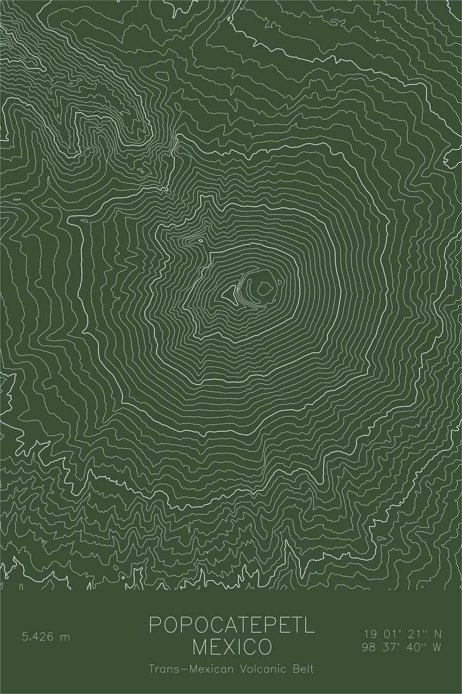
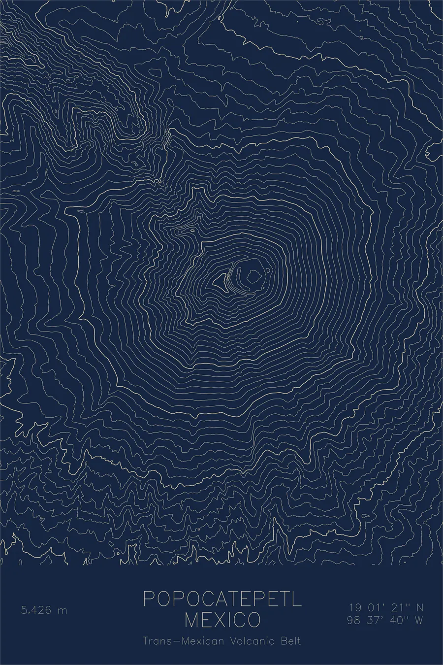
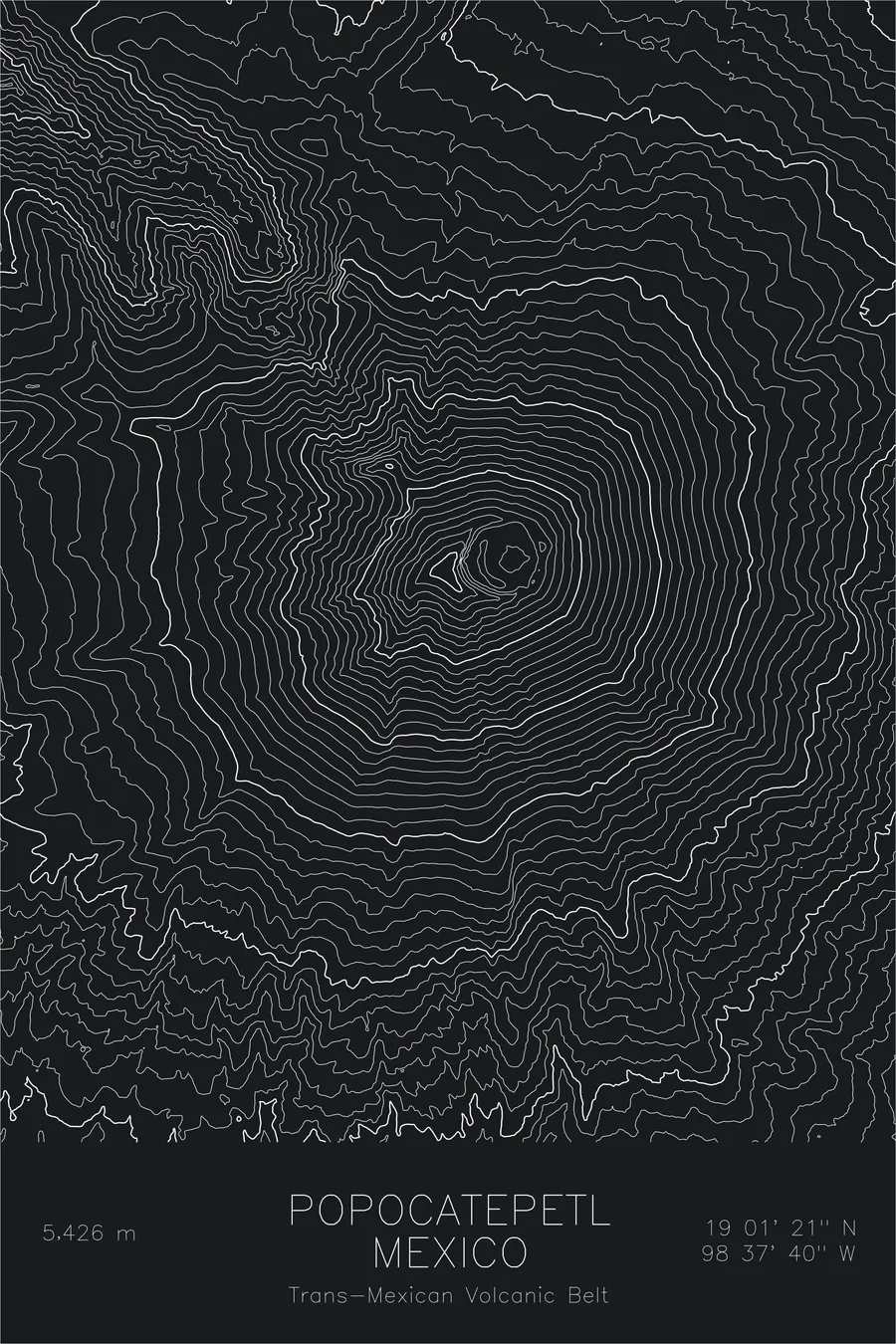
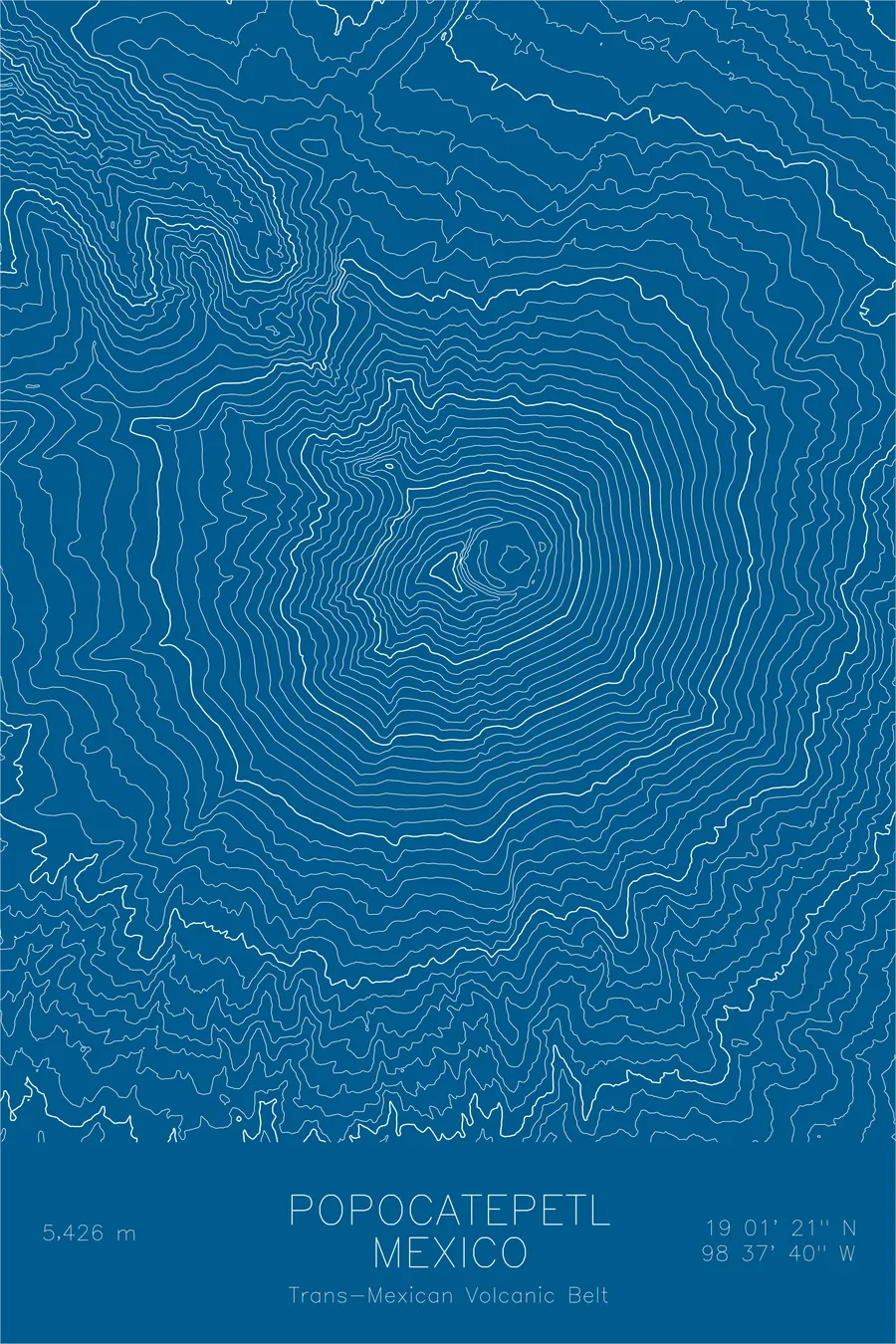
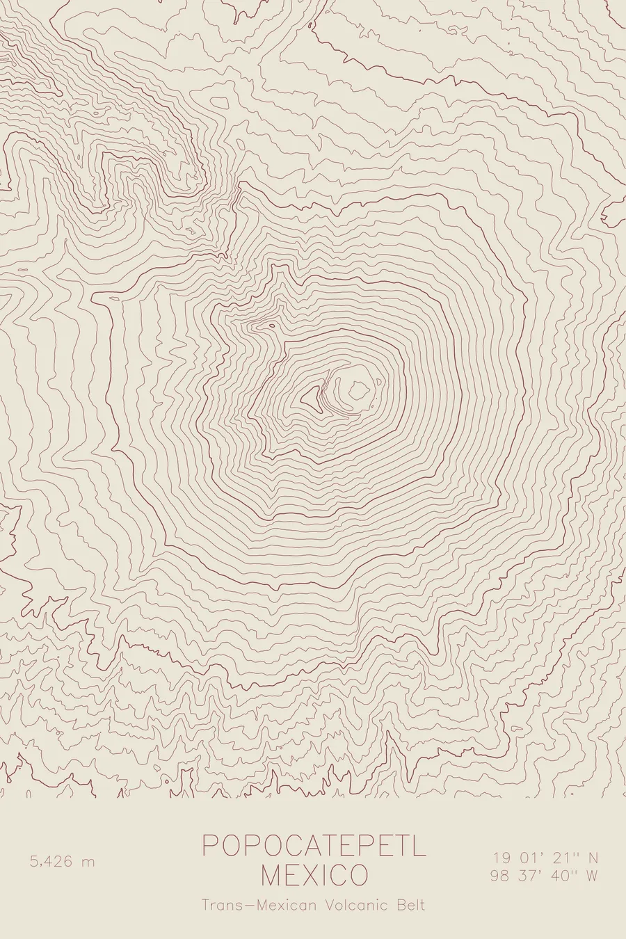
A pen-plotted topographic map of Popocatepetl in the Trans-Mexican Volcanic Belt, Mexico, drawn from real elevation contour data.
Active volcano near Mexico City. 17,802 feet above sea level.
$54
Ink & paper: Cream
Size: 12×18"
+Personalize this map
+ Details
- 12 × 18 inches
- Drawn on 98 lb (160 gsm) archival cotton paper
- Precision technical pens and archival inks
- Signed and dated on the back
- Ships flat, protected, ready to frame
Each map begins with elevation data and is drawn by a pen plotter in our Vermont studio. Mechanical precision, plus the texture and small imperfections of real ink on paper.
Off the screen
In real rooms



















+ About this map
Popocatepetl rises 17,802 feet in the Trans-Mexican Volcanic Belt, the second highest peak in Mexico and one of the most active volcanoes in North America. Its name means Smoking Mountain in Nahuatl, and it still earns it, venting ash and steam within sight of Mexico City, some 45 miles away. In Aztec legend the volcano is a warrior standing eternal watch over Iztaccihuatl, the sleeping woman, the dormant peak that faces it across the Paso de Cortes.
This map captures the clean geometry of a great stratovolcano. The contour lines form nearly concentric rings around the summit crater, tightening near the top where the cone steepens. Radiating outward, the lines break into the barrancas, the deep erosion gullies that channel meltwater and ash down every flank. At the northern edge of the print, the terrain rises again toward the long ridgeline of Iztaccihuatl, the two volcanoes paired on paper just as they are in the legend.
+ Map details
- Popocatepetl
- Mexico
- Trans-Mexican Volcanic Belt
- Trans-Mexican Volcanic Belt
- 17,802 ft / 5,426 m
- 19.0225N 98.6278W
- Mountain topographic map
- Original pen plot, archival ink on cotton paper
- 8 × 12 in · 12 × 18 in · 18 × 24 in
- Active volcano near Mexico City
More maps