United Kingdom
Scafell Pike
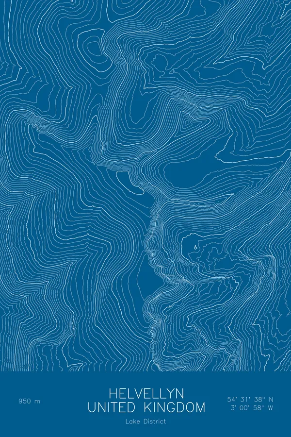
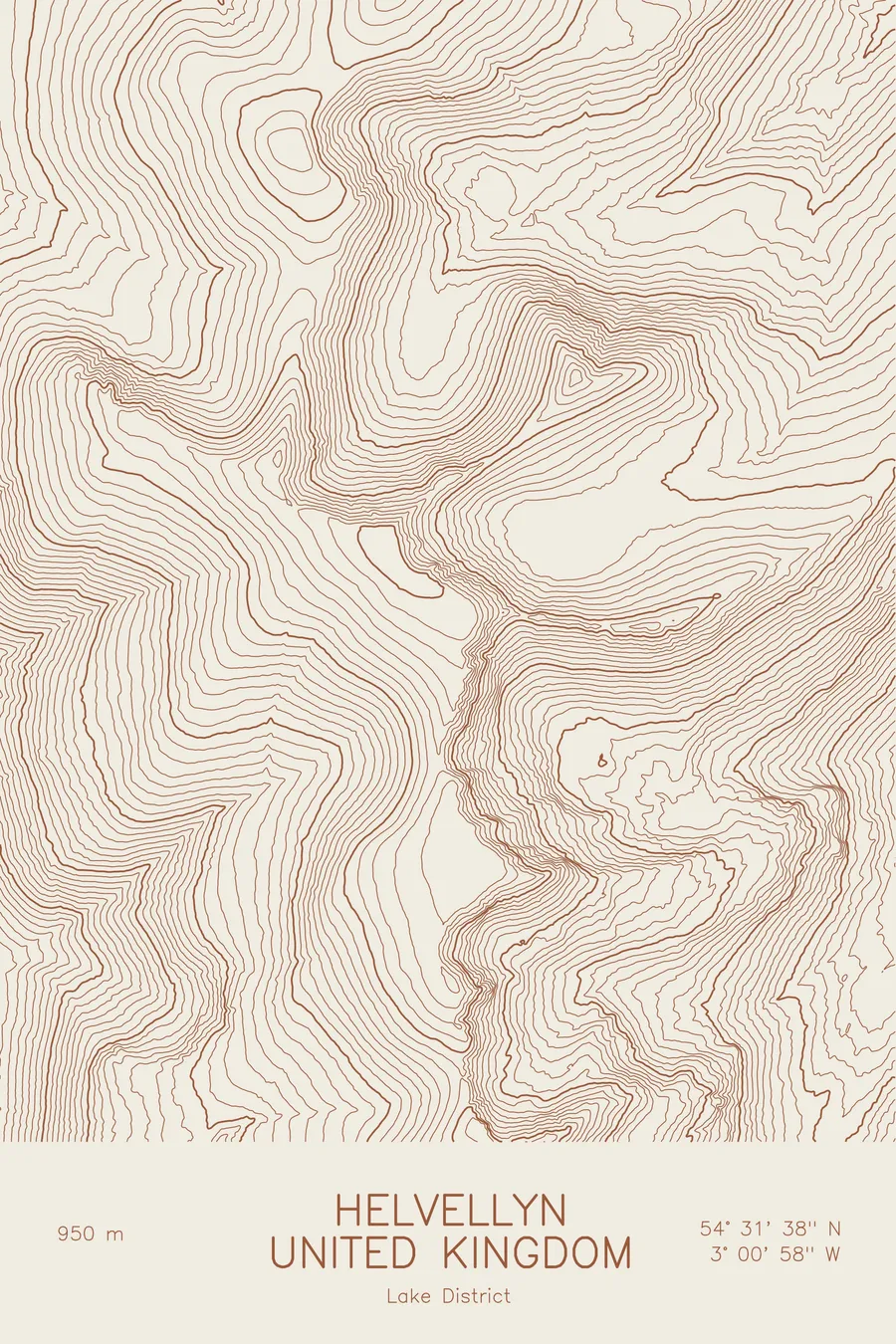
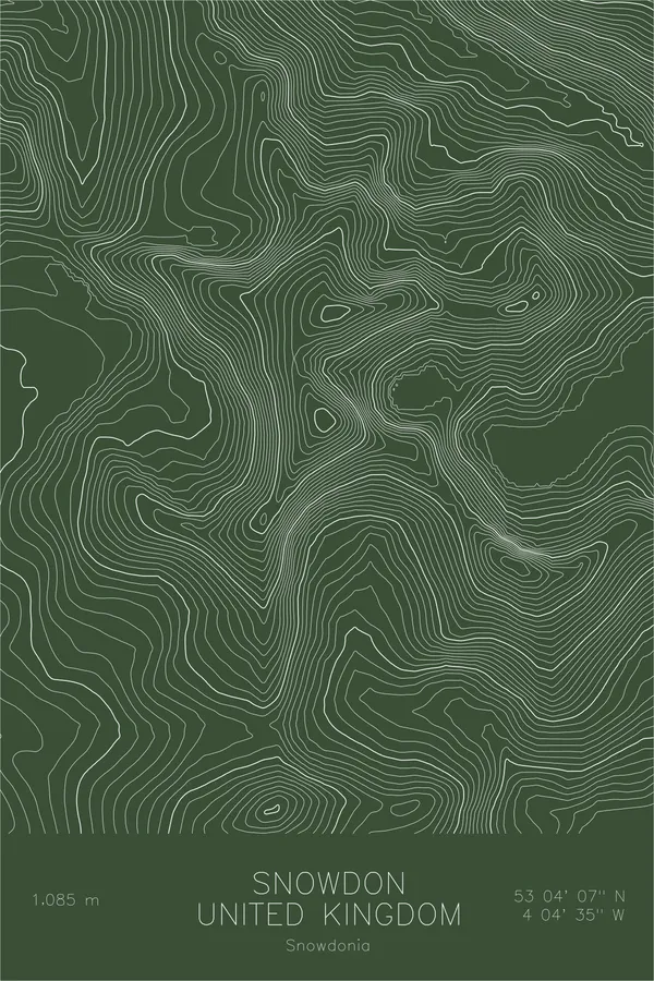
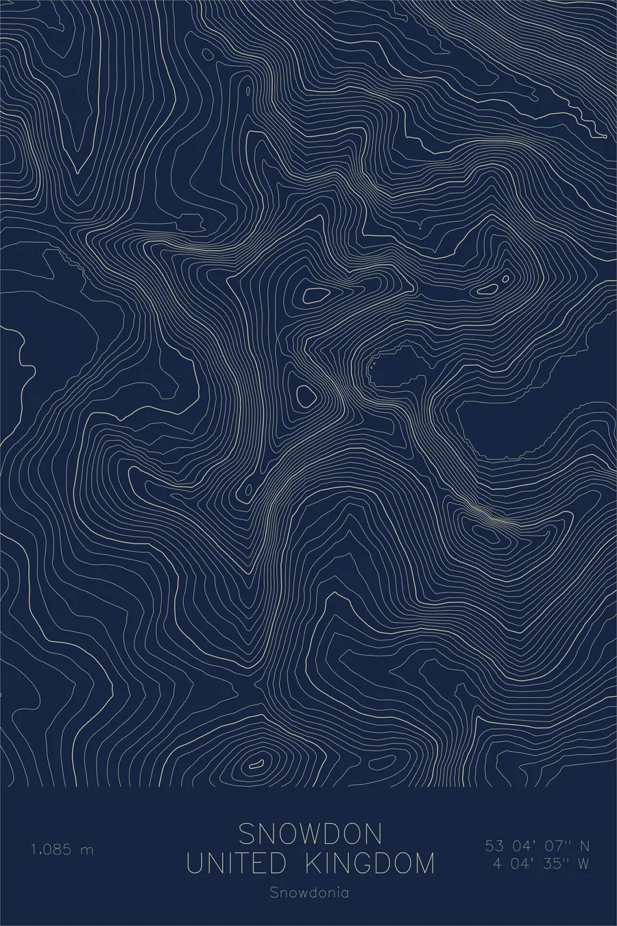
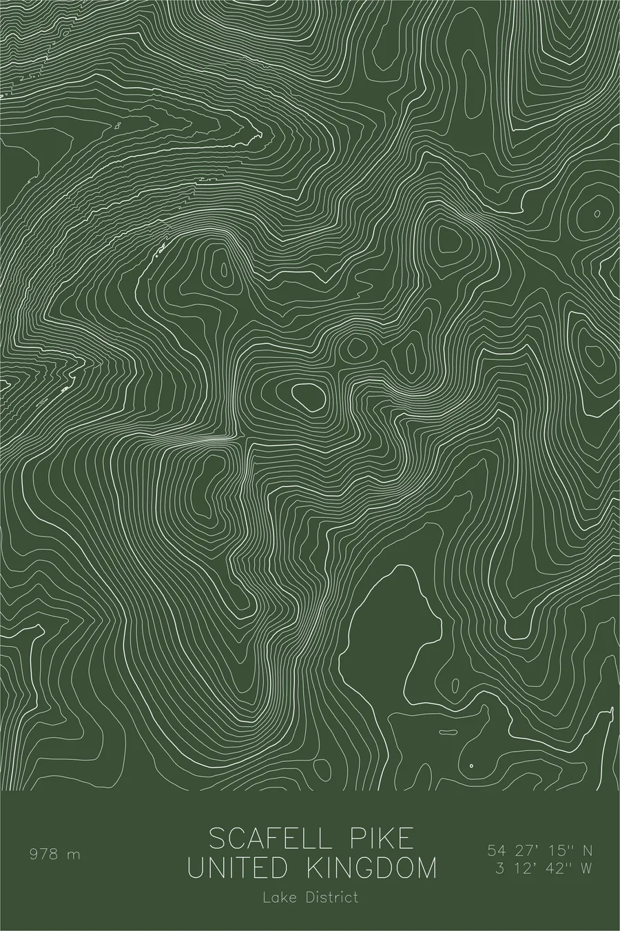
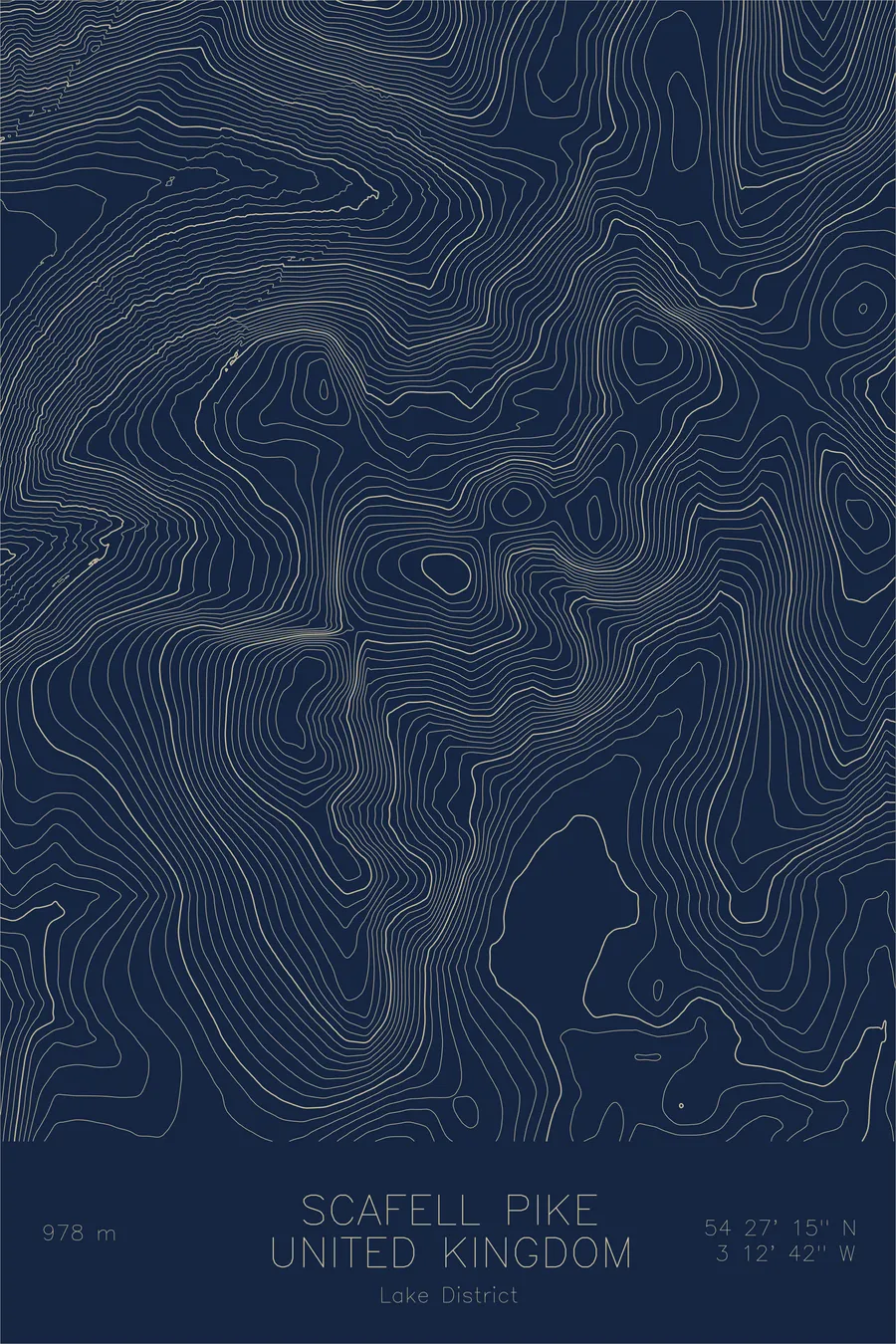
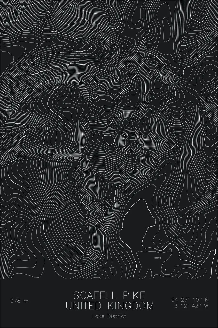
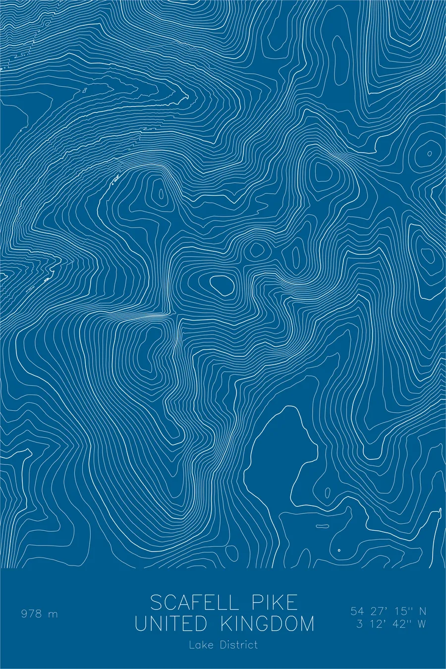
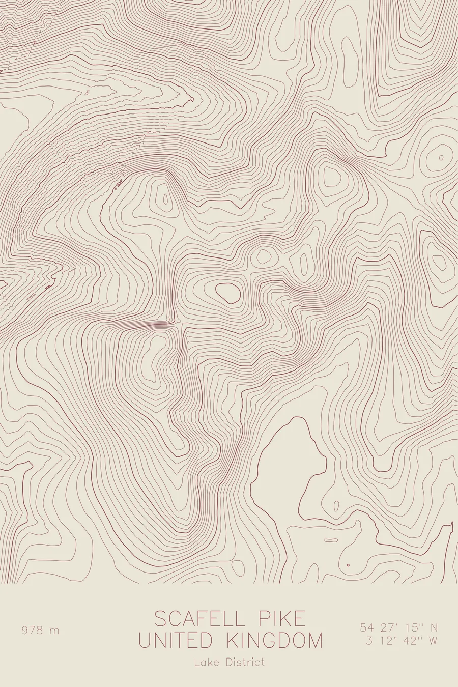
A pen-plotted topographic map of Scafell Pike in the Lake District, United Kingdom, drawn from real elevation contour data.
Highest peak in England, Three Peaks Challenge. 3,209 feet above sea level.
$54
Ink & paper: Green
Size: 12×18"
+Personalize this map
+ Details
- 12 × 18 inches
- Drawn on 98 lb (160 gsm) archival cotton paper
- Precision technical pens and archival inks
- Signed and dated on the back
- Ships flat, protected, ready to frame
Each map begins with elevation data and is drawn by a pen plotter in our Vermont studio. Mechanical precision, plus the texture and small imperfections of real ink on paper.
Off the screen
In real rooms



















+ About this map
Scafell Pike rises 3,209 feet in the heart of the Lake District, the highest point in England and the English leg of the National Three Peaks Challenge. The summit is a field of shattered volcanic boulders, a raw and stony cap that feels far higher than the number suggests. Below it sits Wasdale, home to Wast Water, the deepest lake in England, and to some of the oldest traditions in British hillwalking and climbing.
This map traces the tight cluster of high ground that surrounds the Pike. The contour lines link it to Broad Crag and Ill Crag along the summit ridge, then drop to the narrow col of Mickledore, which separates it from the crags of neighbouring Scafell. Dense lines mark the plunge into Wasdale and the deep cut of Piers Gill, while the wider valleys of Eskdale and Borrowdale open out at the edges of the print. It is compact terrain, but the contours show how much steepness the Lake District packs into a small space.
+ Map details
- Scafell Pike
- United Kingdom
- Lake District
- Lake District
- 3,209 ft / 978 m
- 54.4542N 3.2117W
- Mountain topographic map
- Original pen plot, archival ink on cotton paper
- 8 × 12 in · 12 × 18 in · 18 × 24 in
- Highest peak in England, Three Peaks Challenge
More maps