United Kingdom
Snowdon
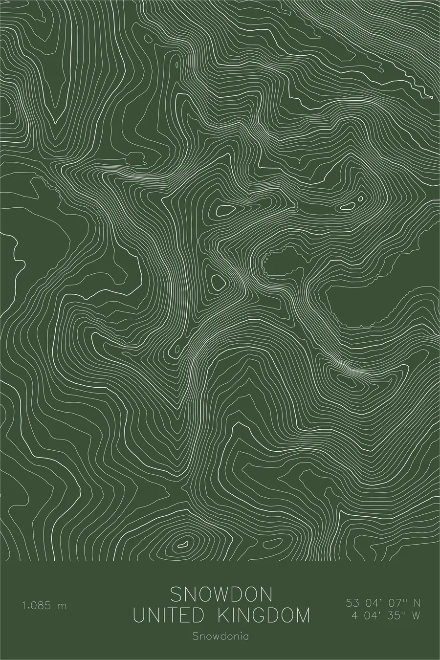
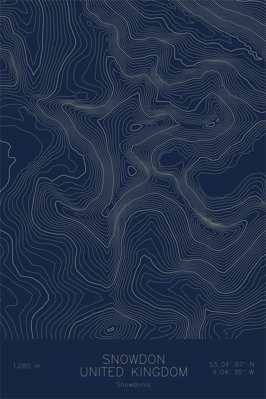
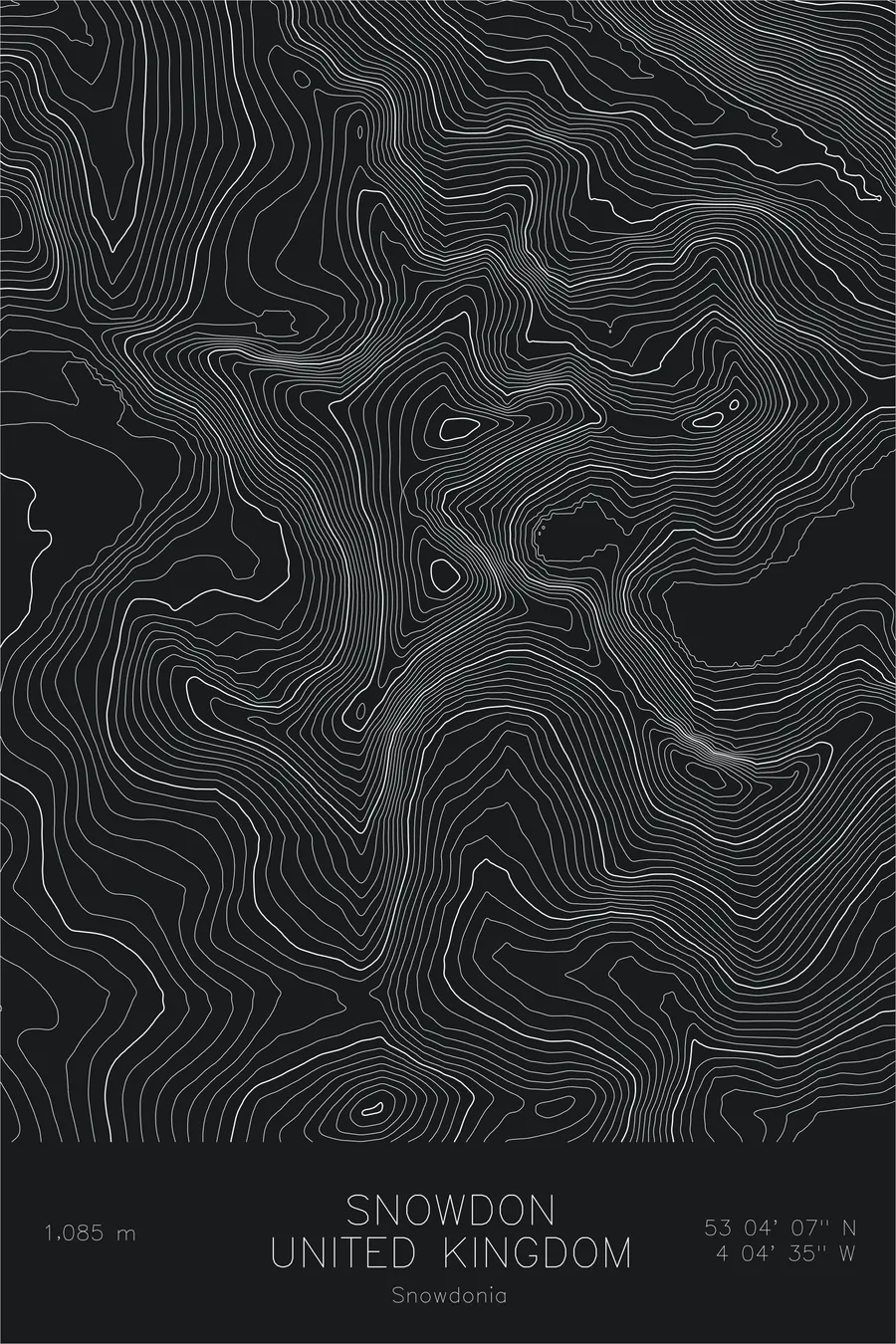
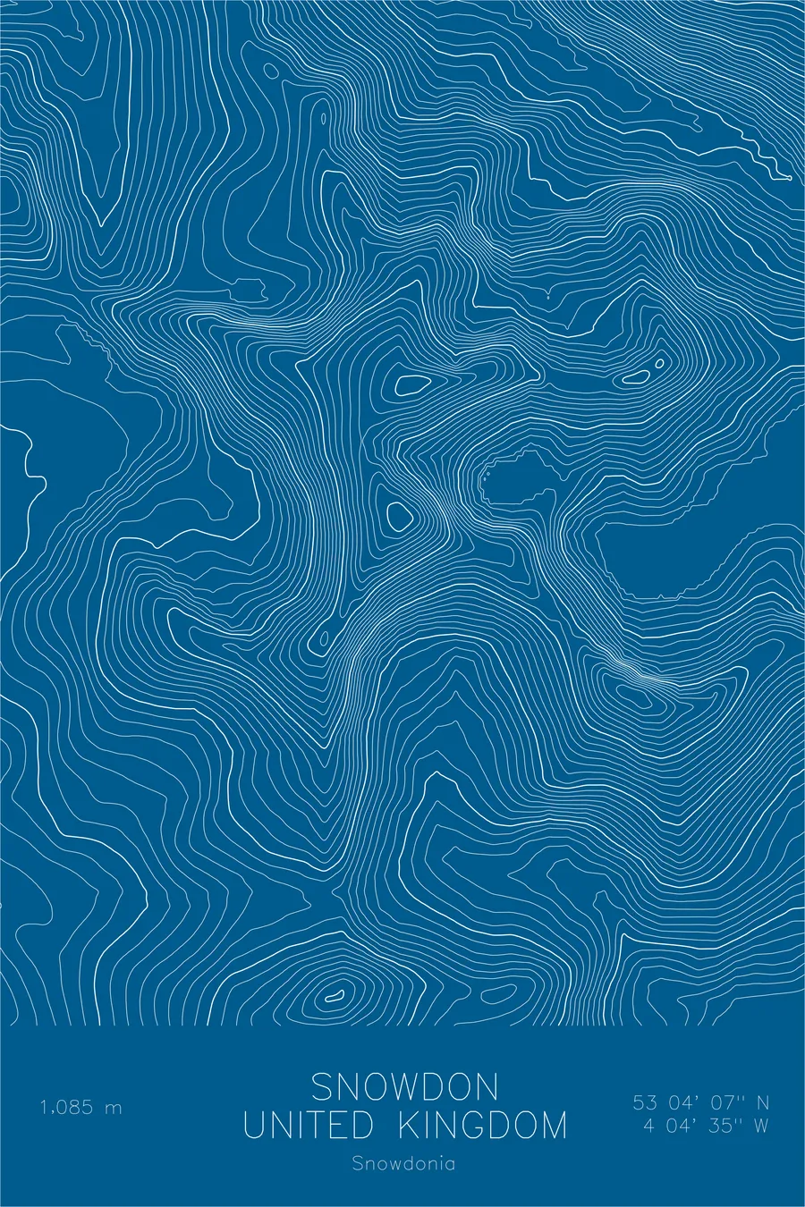
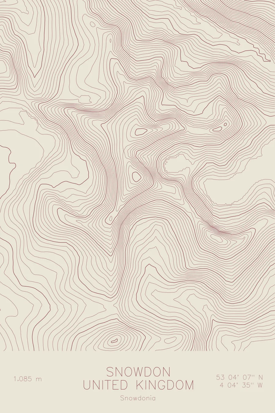
A pen-plotted topographic map of Snowdon in Snowdonia, United Kingdom, drawn from real elevation contour data.
The highest peak in Wales: the burial mound of a giant in one language, a note about the weather in the other.
$54
Ink & paper: Green
Size: 12×18"
+Personalize this map
+ Details
- 12 × 18 inches
- Drawn on 98 lb (160 gsm) archival cotton paper
- Precision technical pens and archival inks
- Signed and dated on the back
- Ships flat, protected, ready to frame
Each map begins with elevation data and is drawn by a pen plotter in our Vermont studio. Mechanical precision, plus the texture and small imperfections of real ink on paper.
Off the screen
In real rooms



















+ About this map
The Welsh name for this mountain, Yr Wyddfa, means the burial mound. The English name means snow hill. One culture looked at the highest peak in Wales and saw the tomb of a giant who wore a cloak sewn from the beards of the kings he had beaten. The other looked at it and made a note of the colour. The mountain stands 3,560 feet above northwest Wales, climbers training for the 1953 Everest expedition rehearsed on its crags, and a rack railway has been carrying the less committed to the summit since the Victorian era.
This map shows a mountain built by ice. The contour lines radiate from the summit into a series of glacial cwms, the great amphitheaters that hold the lakes of Glaslyn and Llyn Llydaw on the eastern side. The lines sharpen along Crib Goch, the knife-edge arête that forms the most exposed section of the Snowdon Horseshoe, and along the connecting ridge to Y Lliwedd. Between the arêtes, the wider spacing of the valley floors completes the pattern: steep rock walls and scooped hollows arranged around a single summit.
+ Map details
- Snowdon
- United Kingdom
- Snowdonia
- Snowdonia
- 3,560 ft / 1,085 m
- 53.0685N 4.0763W
- Mountain topographic map
- Original pen plot, archival ink on cotton paper
- 8 × 12 in · 12 × 18 in · 18 × 24 in
- Highest peak in Wales
More maps