Spain
Teide
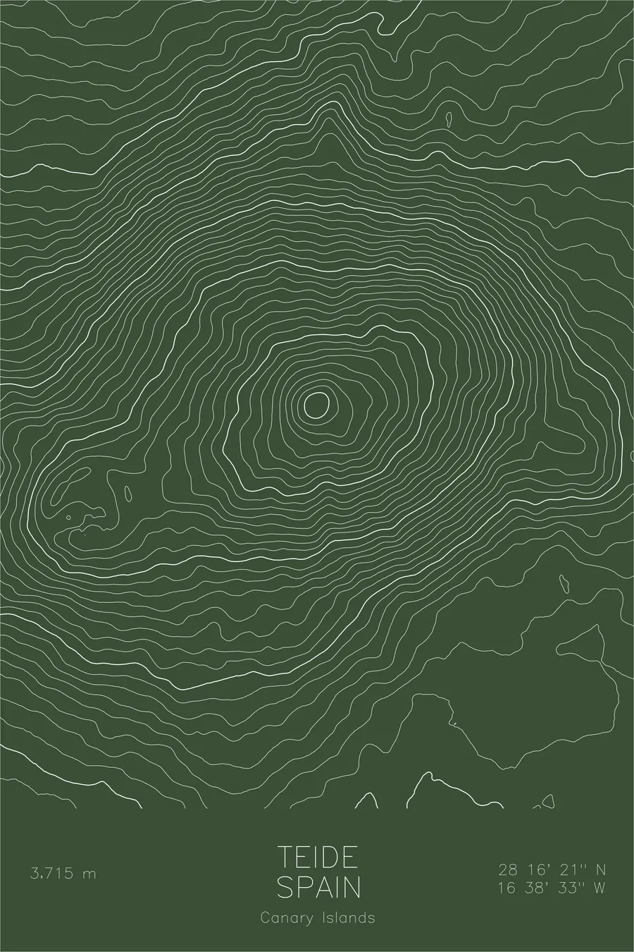
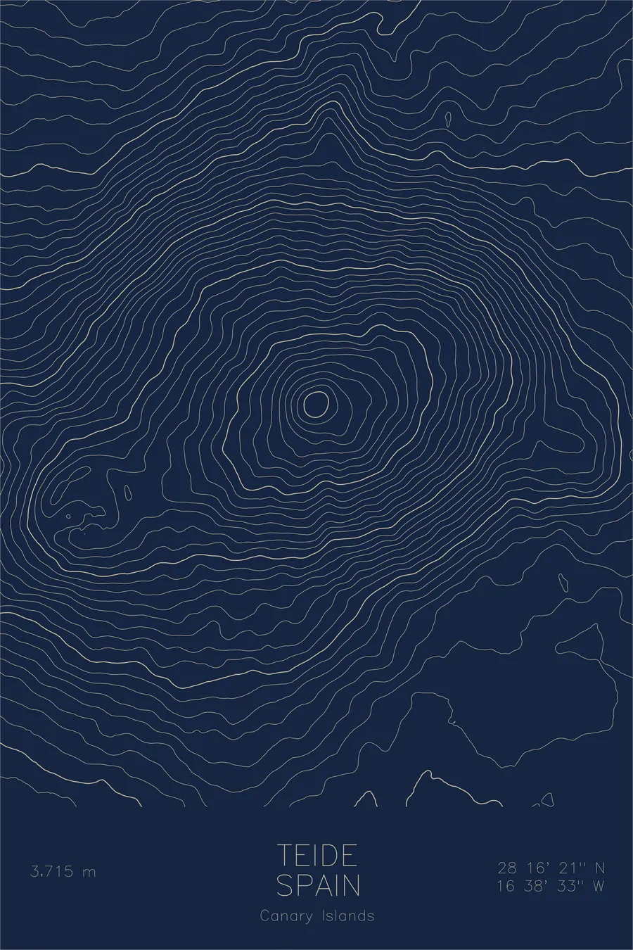
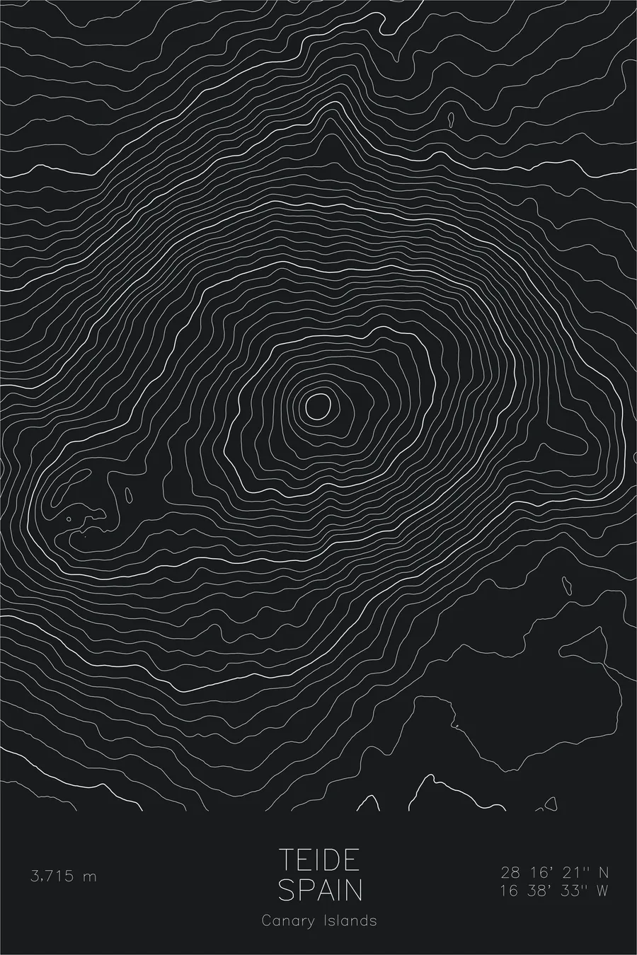
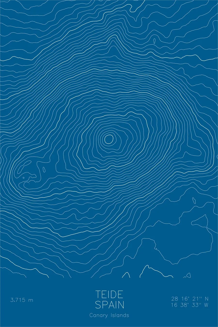
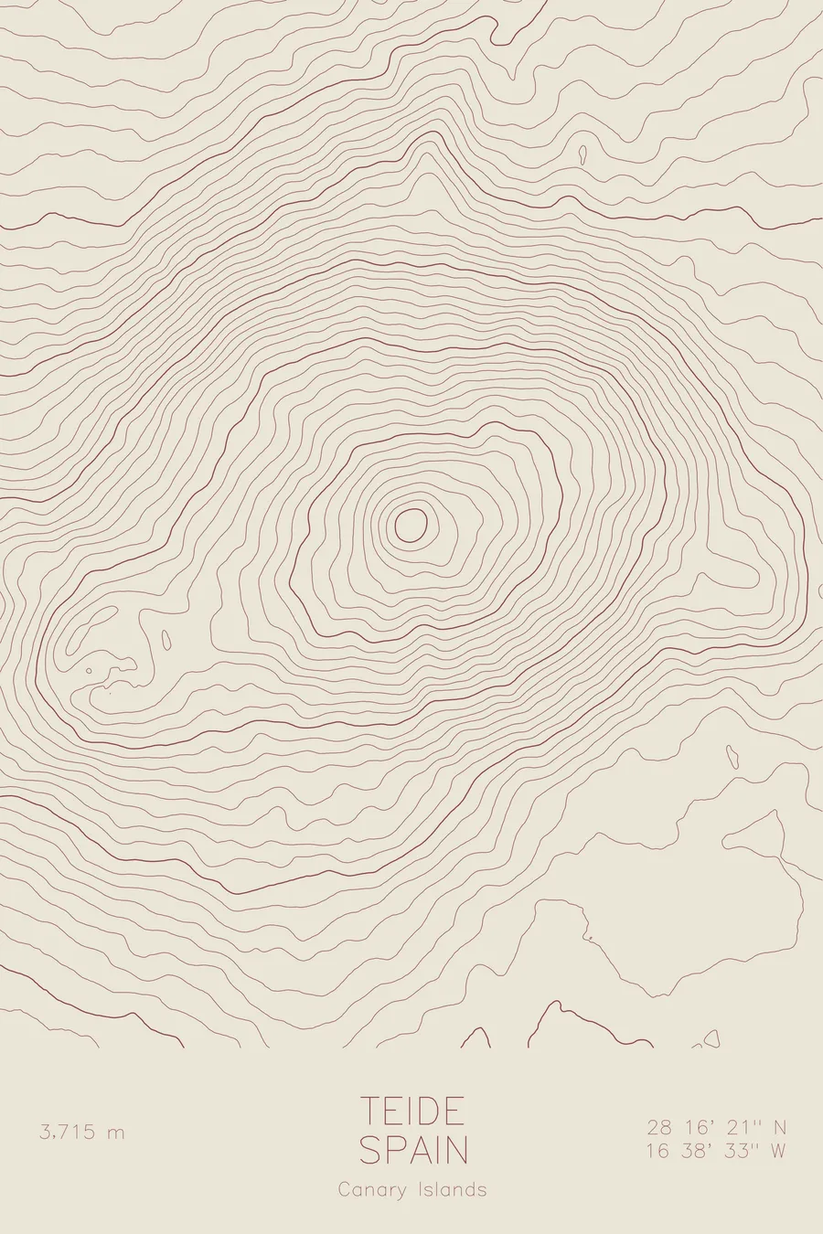
A pen-plotted topographic map of Teide in the Canary Islands, Spain, drawn from real elevation contour data.
Highest peak in Spain and Atlantic islands. 12,188 feet above sea level.
$54
Ink & paper: Cream
Size: 12×18"
+Personalize this map
+ Details
- 12 × 18 inches
- Drawn on 98 lb (160 gsm) archival cotton paper
- Precision technical pens and archival inks
- Signed and dated on the back
- Ships flat, protected, ready to frame
Each map begins with elevation data and is drawn by a pen plotter in our Vermont studio. Mechanical precision, plus the texture and small imperfections of real ink on paper.
Off the screen
In real rooms



















+ About this map
Teide rises 12,188 feet on the island of Tenerife, the highest peak in Spain and the highest point on any Atlantic island. Measured from the ocean floor, the volcano stands far taller, one of the largest volcanic structures on Earth. The summit cone grew inside Las Canadas, an enormous caldera left by the collapse of an older volcanic edifice, and the whole complex is protected as Teide National Park, a UNESCO World Heritage Site.
This map captures a volcano inside a volcano. The contour lines form tight rings around the young summit cone, then drop to the broad floor of the caldera before climbing again at the encircling rim walls. On the western shoulder, the lines gather around Pico Viejo and its wide crater, the second summit of the massif. Beyond the rim, the flanks run in long, even slopes toward the coast, showing how a single mountain accounts for most of the island beneath it.
+ Map details
- Teide
- Spain
- Canary Islands
- Canary Islands
- 12,188 ft / 3,715 m
- 28.2726N 16.6424W
- Mountain topographic map
- Original pen plot, archival ink on cotton paper
- 8 × 12 in · 12 × 18 in · 18 × 24 in
- Highest peak in Spain and Atlantic islands
More maps