France
Val d'Isère
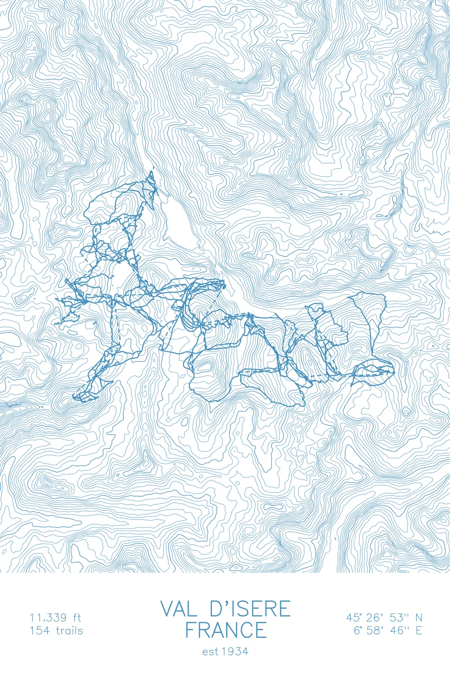
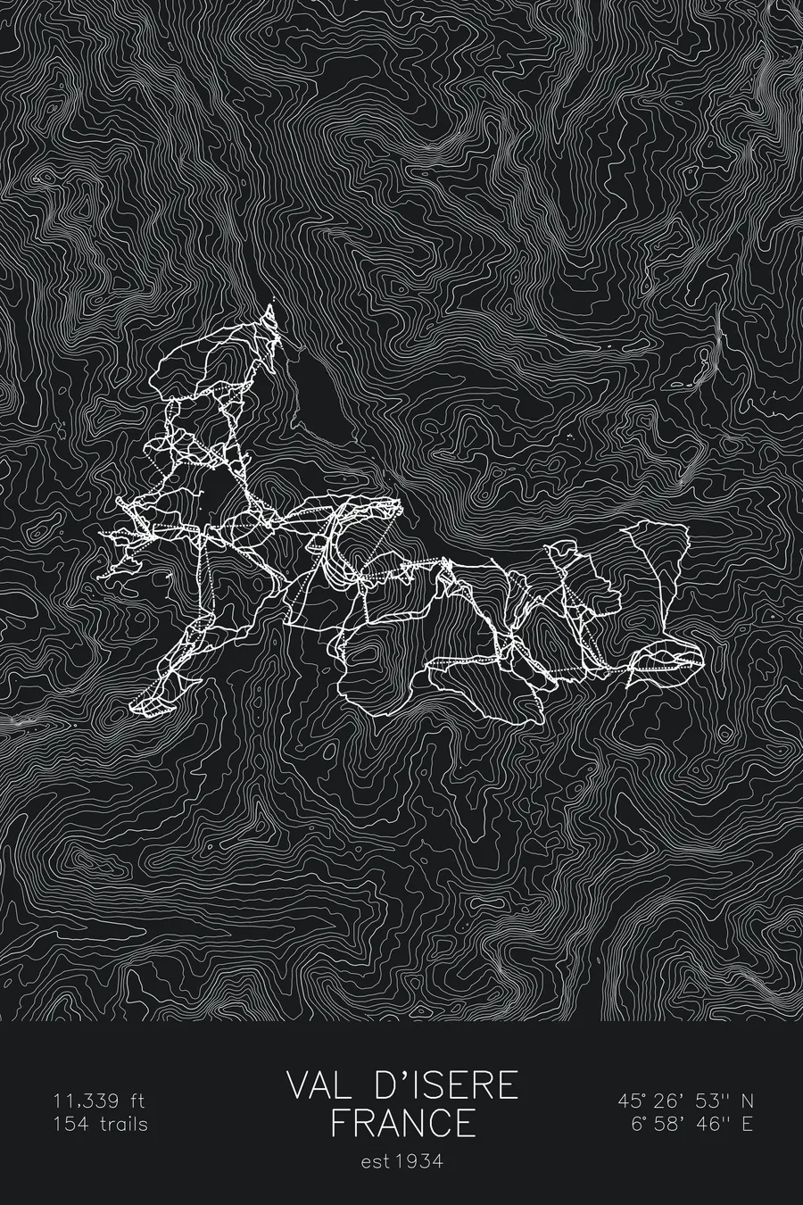
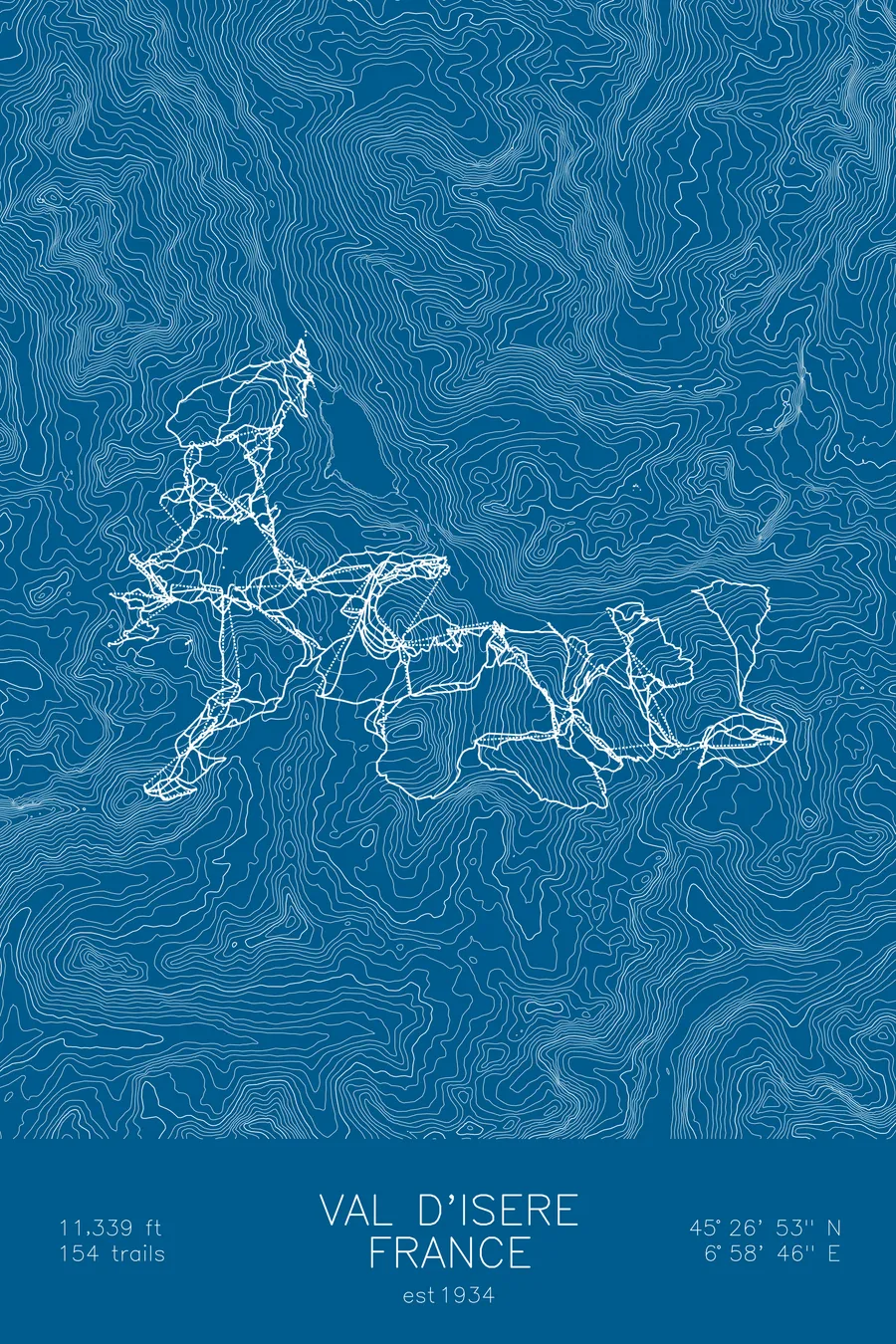
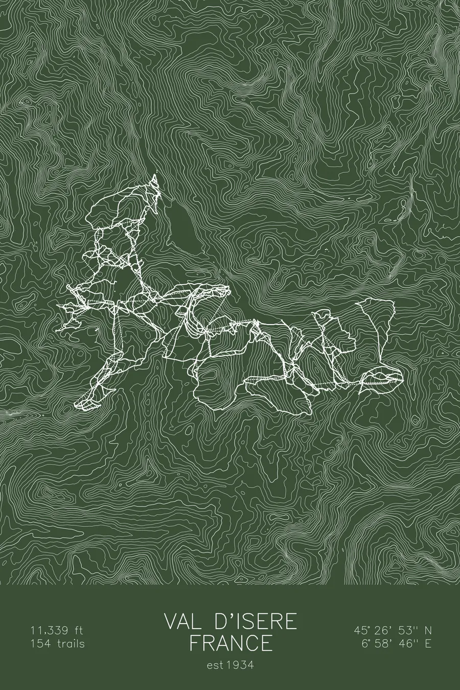
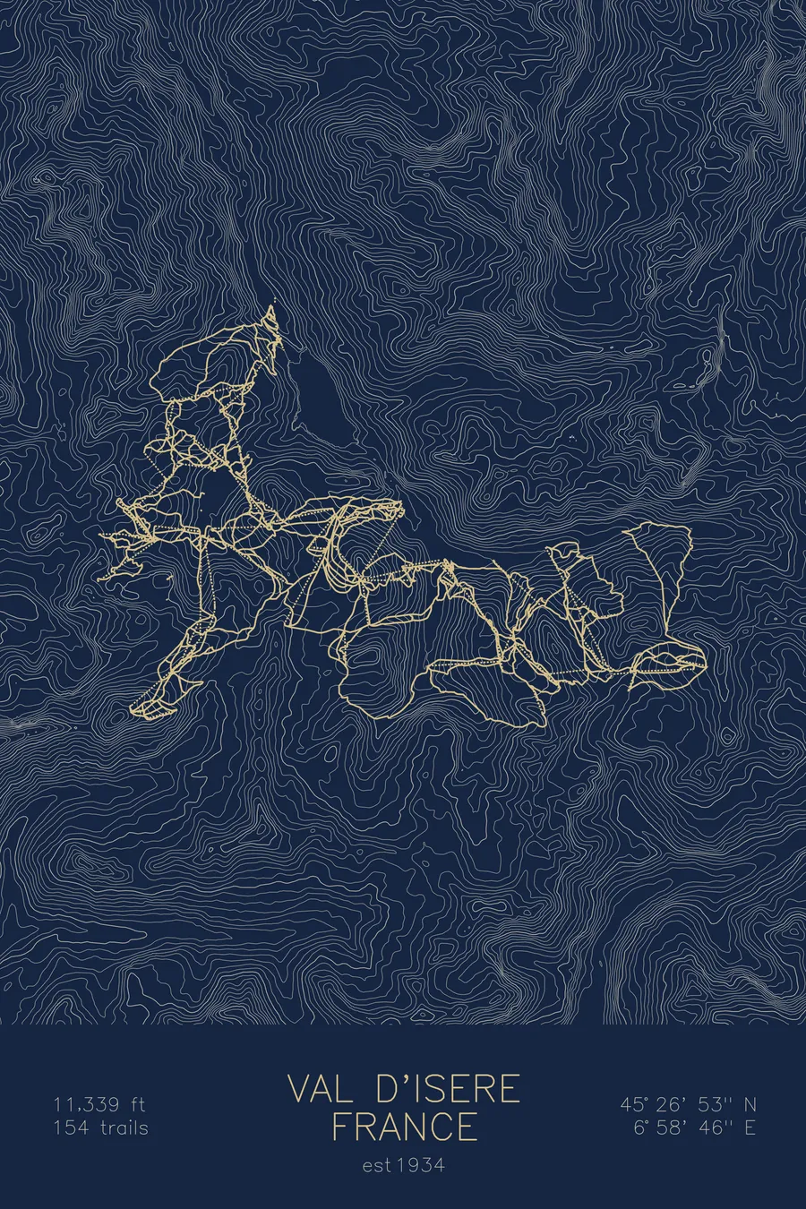
A topographic ski map of Val d'Isère, France, with the resort's runs and lifts drawn over real terrain in a minimalist contour-line design.
Est. 1934. 154 trails. 11,339 feet above sea level.
$63
Ink & paper: Arctic White
Size: 12×18"
+Personalize this map
+ Details
- 12 × 18 inches
- Drawn on 98 lb (160 gsm) archival cotton paper
- Precision technical pens and archival inks
- Signed and dated on the back
- Ships flat, protected, ready to frame
Each map begins with elevation data and is drawn by a pen plotter in our Vermont studio. Mechanical precision, plus the texture and small imperfections of real ink on paper.
Off the screen
In real rooms



















+ About this map
Val d’Isère sits at the head of France’s Tarentaise Valley, a high-alpine village that opened its first lifts in 1934. Linked with neighboring Tignes to form the vast Espace Killy, it was the home terrain of Jean-Claude Killy, who swept all three alpine gold medals at the 1968 Olympics. Its 154 trails climb to 11,339 feet, with glacier skiing up high, the legendary Face de Bellevarde dropping back to the village, and enormous off-piste terrain in every direction.
The contour map traces the steep valley walls and high bowls above the village, terrain that stays skiable from late autumn into spring.
+ Map details
- Val d'Isère
- France
- Alps
- 11,339 ft / 3,456 m
- 45.4481N 6.9794E
- Ski resort trail map
- Original pen plot, archival ink on cotton paper
- 8 × 12 in · 12 × 18 in · 18 × 24 in
- Est. 1934. 154 trails
More maps