Antarctica
Vinson Massif
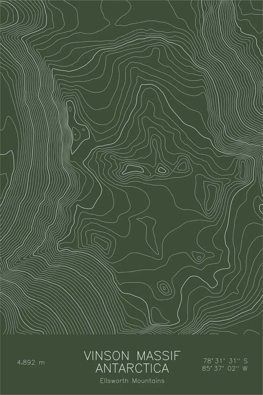
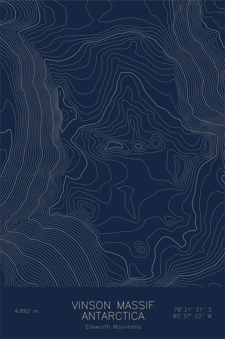
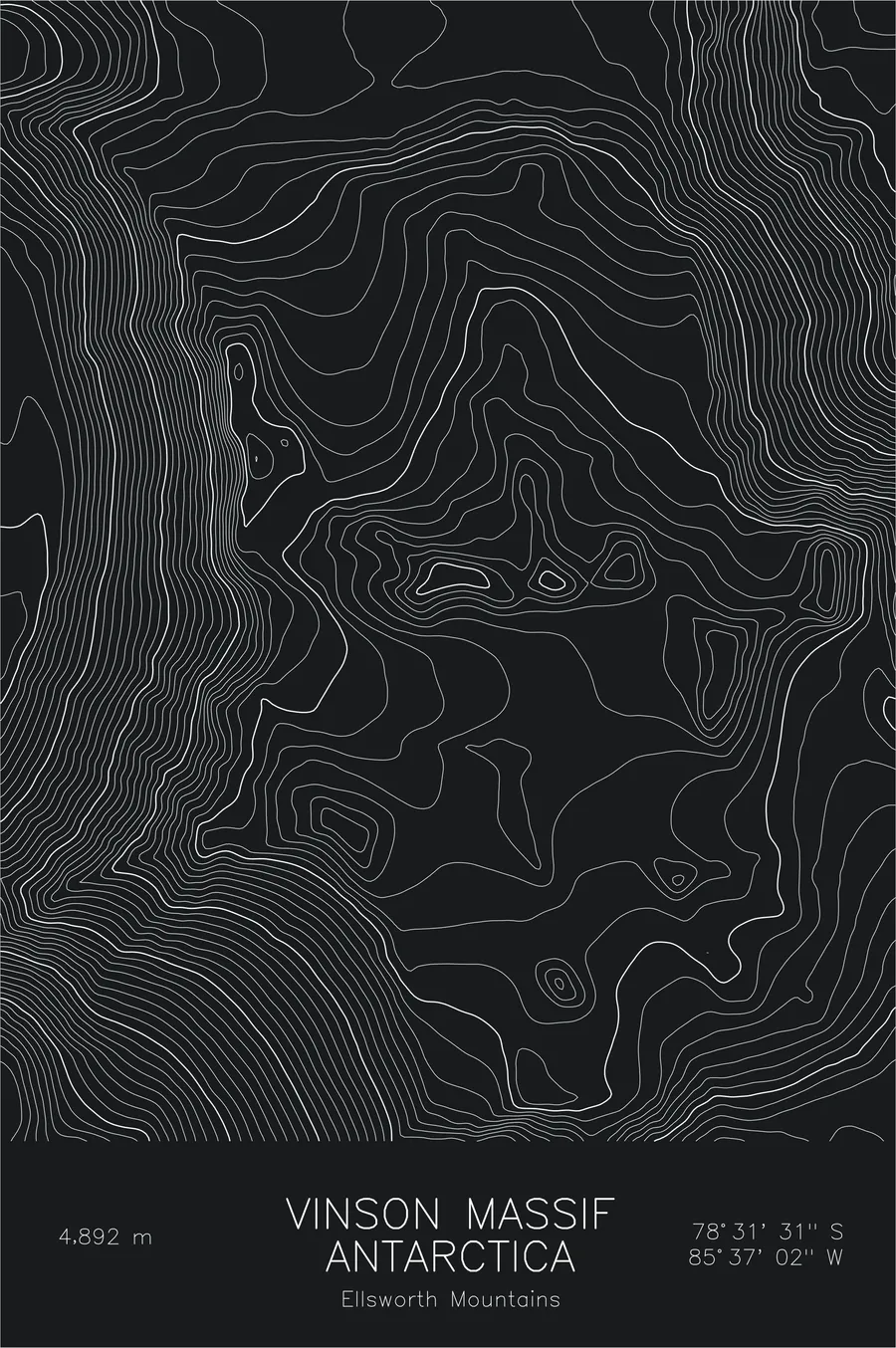
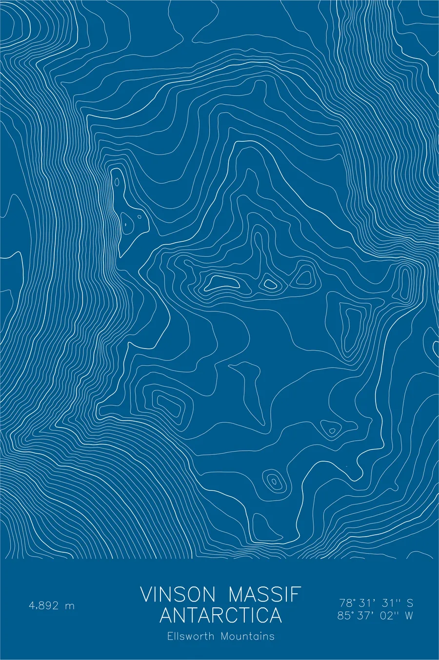
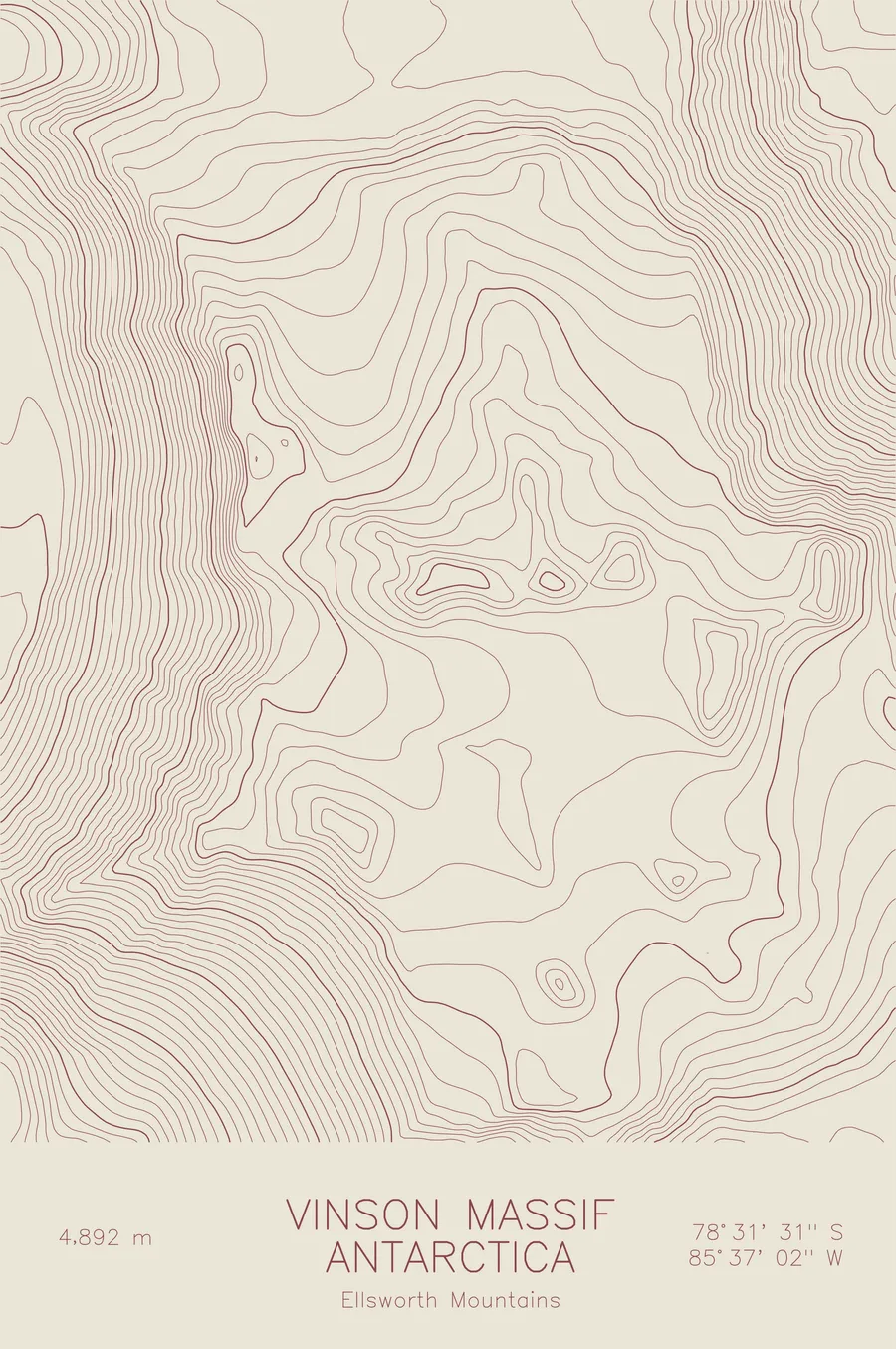
A pen-plotted topographic map of Vinson Massif in the Ellsworth Mountains, Antarctica, drawn from real elevation contour data.
Highest peak in Antarctica, Seven Summits. 16,050 feet above sea level.
$54
Ink & paper: Navy
Size: 12×18"
+Personalize this map
+ Details
- 12 × 18 inches
- Drawn on 98 lb (160 gsm) archival cotton paper
- Precision technical pens and archival inks
- Signed and dated on the back
- Ships flat, protected, ready to frame
Each map begins with elevation data and is drawn by a pen plotter in our Vermont studio. Mechanical precision, plus the texture and small imperfections of real ink on paper.
Off the screen
In real rooms



















+ About this map
Vinson Massif rises 16,050 feet in the Sentinel Range of the Ellsworth Mountains, the highest point in Antarctica and one of the Seven Summits. It stands roughly 750 miles from the South Pole, so remote that it was not sighted until the era of Antarctic aviation and not climbed until an American team reached the summit in 1966. The technical difficulties are modest by big-mountain standards; the cold, wind, and isolation are not.
This map shows a mountain rising out of an ocean of ice. The contour lines define the long crest of the massif and the Branscomb Glacier, which carries the standard route up the western side. Around the high ground, the lines thin and vanish into the vast, nearly featureless ice sheet that surrounds the range, while the neighboring summits of the Sentinel Range, including Mount Shinn and the sheer Mount Tyree, crowd the print with some of the steepest relief on the continent.
+ Map details
- Vinson Massif
- Antarctica
- Ellsworth Mountains
- Ellsworth Mountains
- 16,050 ft / 4,892 m
- 78.5254S 85.6171W
- Mountain topographic map
- Original pen plot, archival ink on cotton paper
- 8 × 12 in · 12 × 18 in · 18 × 24 in
- Highest peak in Antarctica, Seven Summits
More maps