Switzerland
Weisshorn
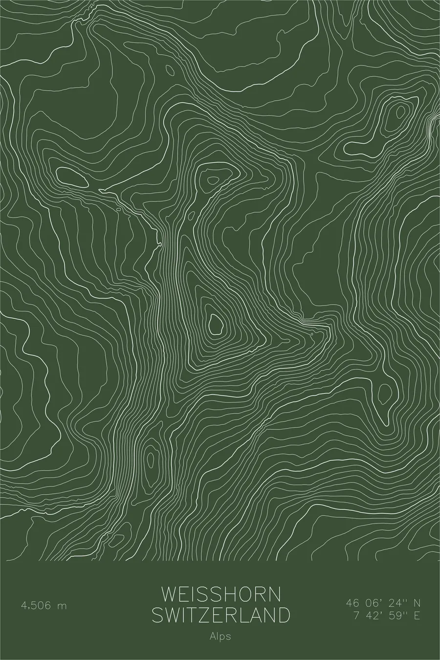
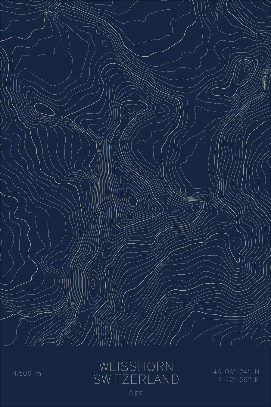
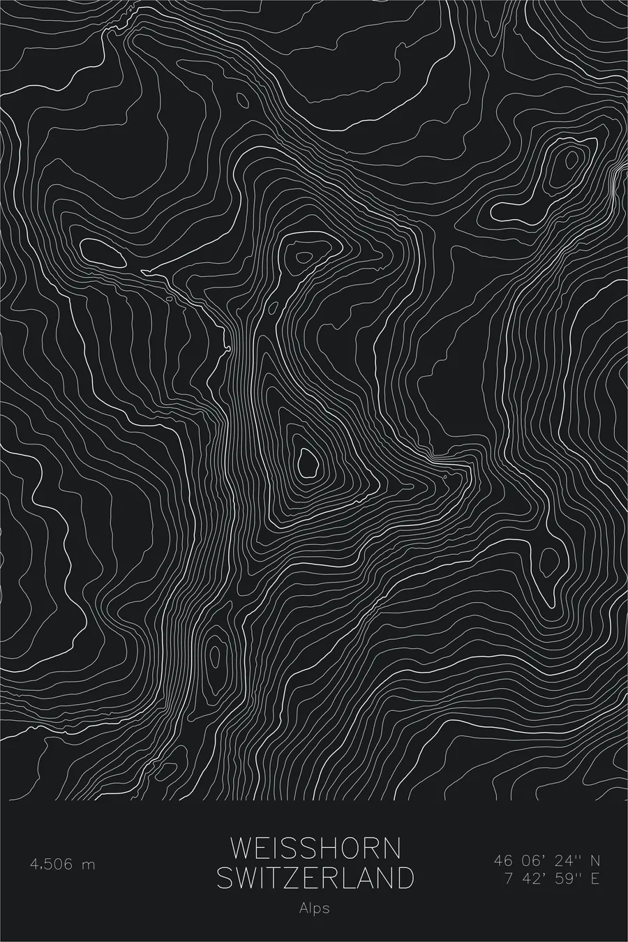
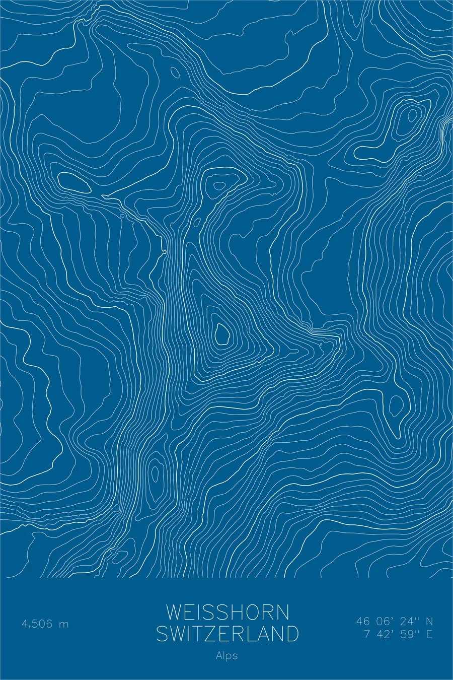
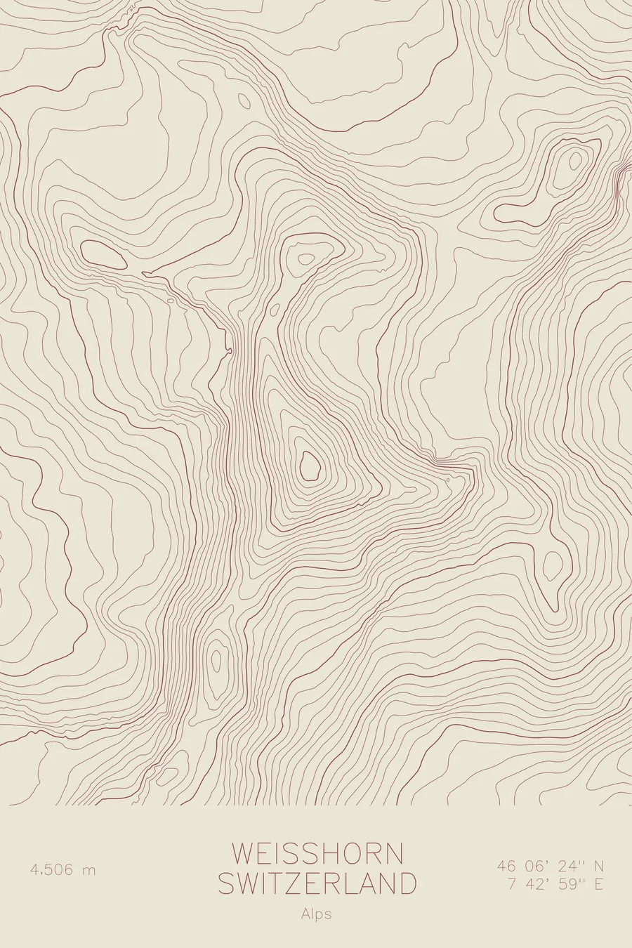
A pen-plotted topographic map of Weisshorn in the Alps, Switzerland, drawn from real elevation contour data.
One of the most beautiful Alpine peaks. 14,783 feet above sea level.
$54
Ink & paper: Navy
Size: 12×18"
+Personalize this map
+ Details
- 12 × 18 inches
- Drawn on 98 lb (160 gsm) archival cotton paper
- Precision technical pens and archival inks
- Signed and dated on the back
- Ships flat, protected, ready to frame
Each map begins with elevation data and is drawn by a pen plotter in our Vermont studio. Mechanical precision, plus the texture and small imperfections of real ink on paper.
Off the screen
In real rooms



















+ About this map
The Weisshorn rises 14,783 feet in the Pennine Alps of Switzerland, above the village of Randa in the Mattertal. Among alpinists it has long been regarded as one of the most beautiful mountains in the Alps, a near-perfect pyramid of three ridges and three faces that many rank above its famous neighbor, the Matterhorn. The physicist John Tyndall made the first ascent in 1861, and the mountain has remained a serious undertaking ever since, with long ridges and no easy way up.
This map captures the geometry that built the Weisshorn’s reputation. The contour lines converge on the summit from three directions, tracing the north, east, and Schali ridges that divide the mountain into its three great faces. On the east side, the lines open into the Bis Glacier, hanging high above the Mattertal, while the western slopes fall toward the Val d’Anniviers. The symmetry of the pyramid reads clearly in the evenness of the lines, a mountain drawn almost as cleanly by nature as by the pen.
+ Map details
- Weisshorn
- Switzerland
- Alps
- Alps
- 14,783 ft / 4,506 m
- 46.1067N 7.7164E
- Mountain topographic map
- Original pen plot, archival ink on cotton paper
- 8 × 12 in · 12 × 18 in · 18 × 24 in
- One of the most beautiful Alpine peaks
More maps