Germany/Austria
Zugspitze
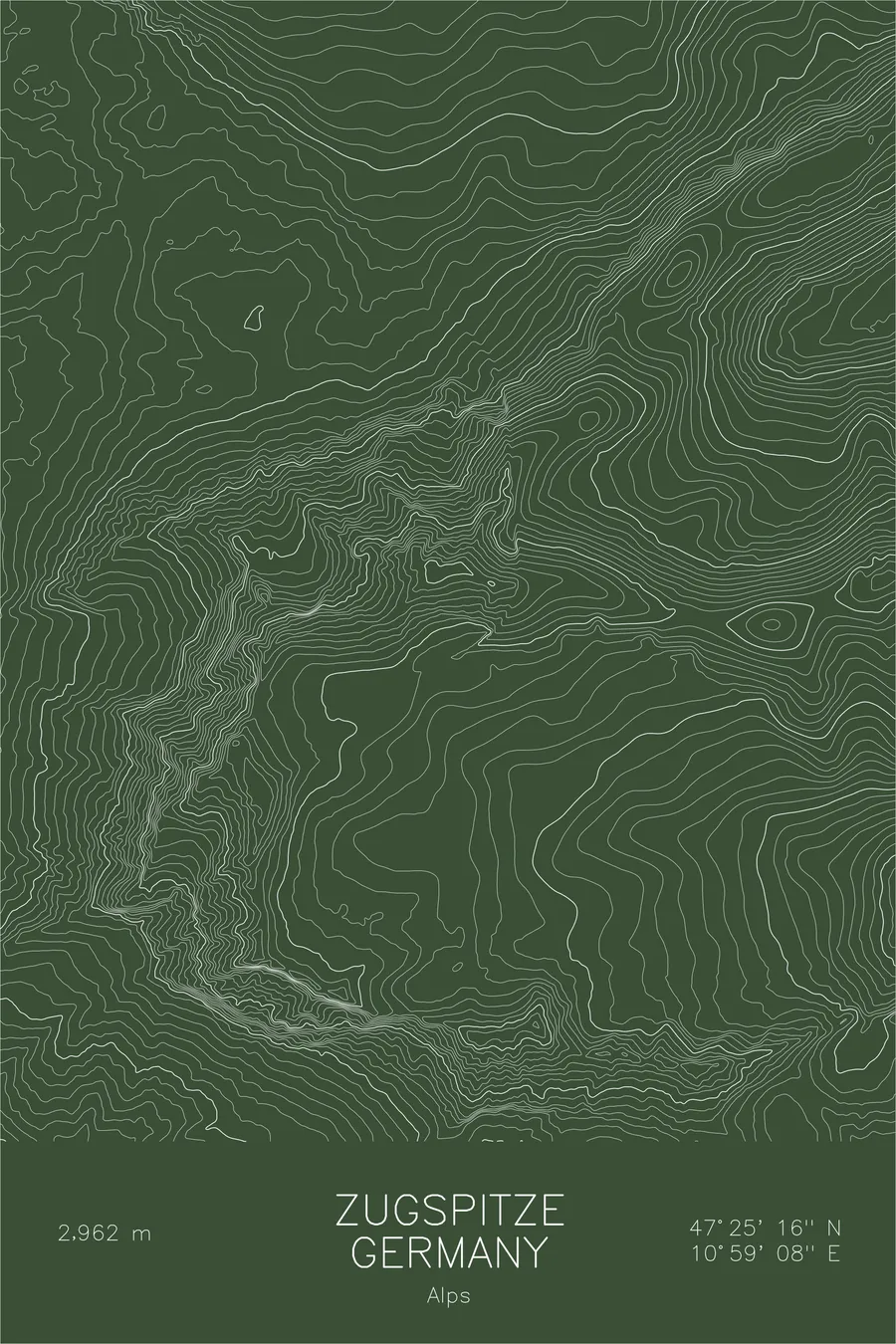
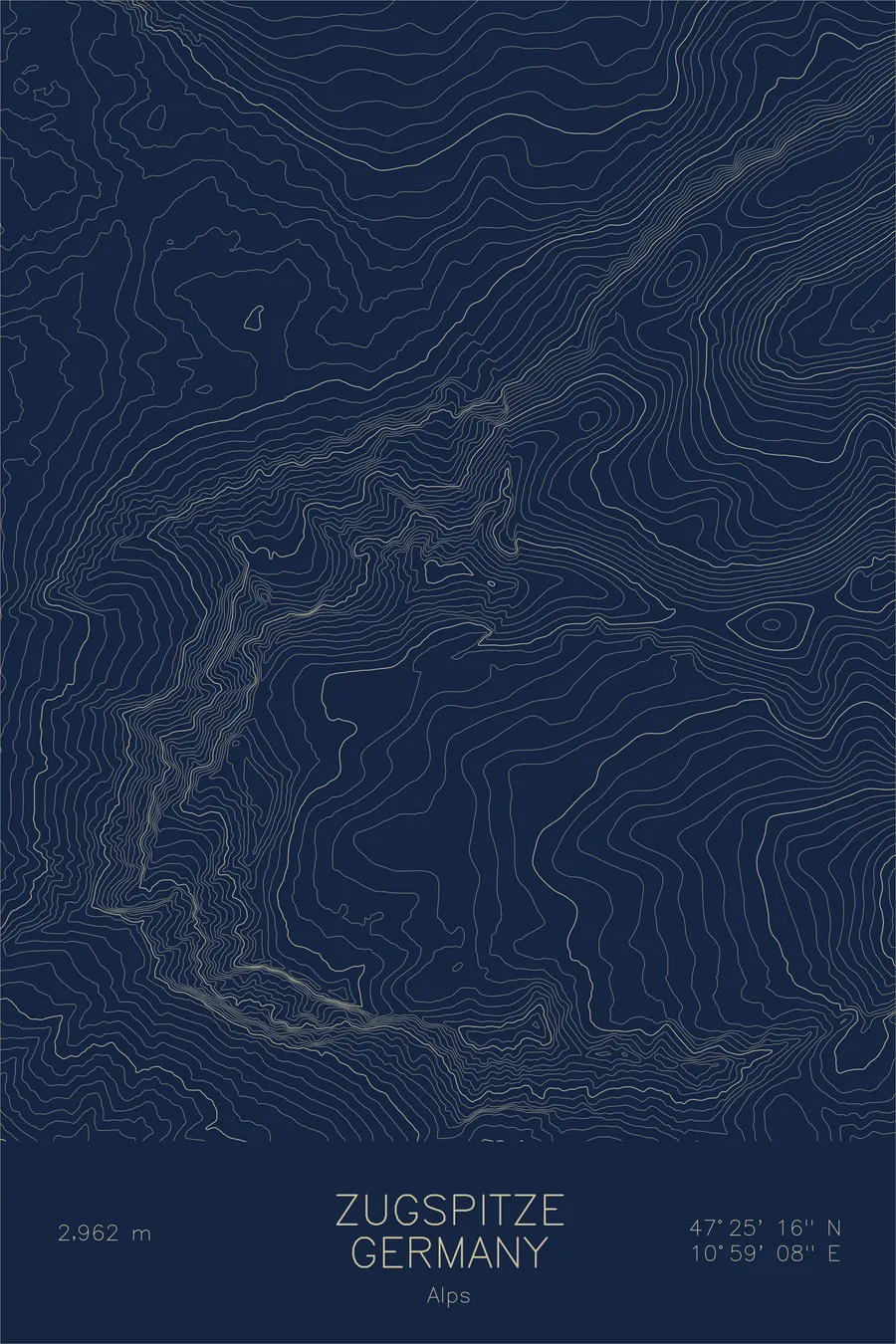
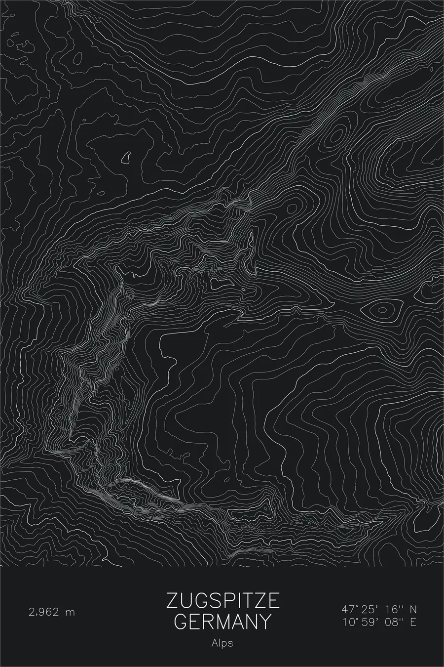
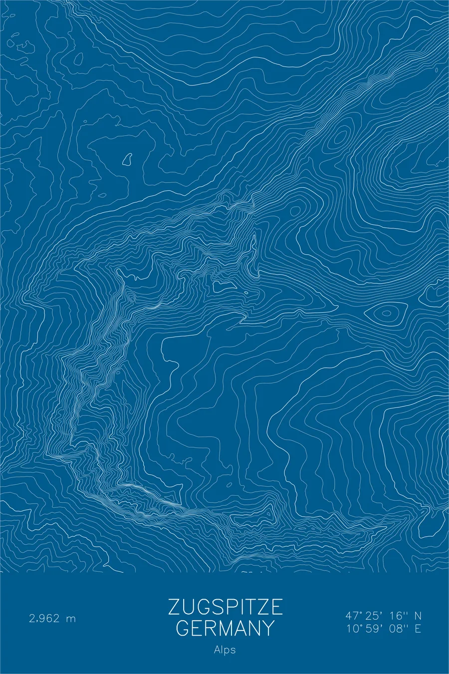
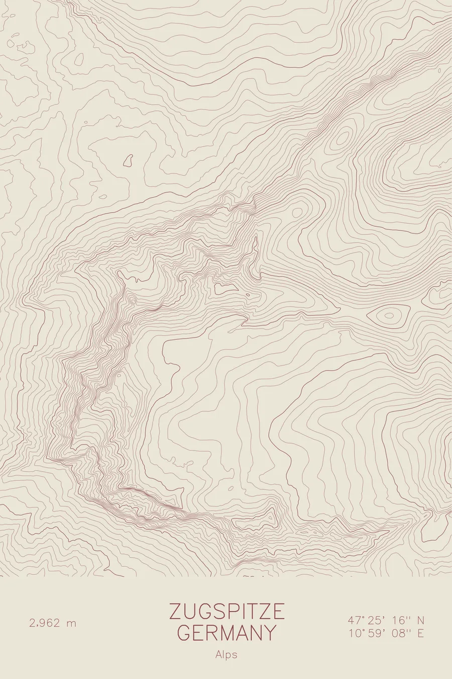
A pen-plotted topographic map of Zugspitze in the Alps, Germany/Austria, drawn from real elevation contour data.
Highest peak in Germany. 9,718 feet above sea level.
$54
Ink & paper: Navy
Size: 12×18"
+Personalize this map
+ Details
- 12 × 18 inches
- Drawn on 98 lb (160 gsm) archival cotton paper
- Precision technical pens and archival inks
- Signed and dated on the back
- Ships flat, protected, ready to frame
Each map begins with elevation data and is drawn by a pen plotter in our Vermont studio. Mechanical precision, plus the texture and small imperfections of real ink on paper.
Off the screen
In real rooms



















+ About this map
The Zugspitze rises 9,718 feet in the Wetterstein range of the Northern Limestone Alps, the highest peak in Germany. The summit sits directly on the border with Austria, above the resort town of Garmisch-Partenkirchen, and its flanks hold the last remnants of Germany’s glaciers. Cable cars reach the top from both countries, but the mountain also carries serious alpine routes, including the long, exposed Jubilaumsgrat ridge traverse toward the Alpspitze.
This map shows the sharp limestone architecture of the Wetterstein. The contour lines plunge on the north side into the Hollental, the Valley of Hell, where the classic via ferrata route climbs past the Hollentalferner glacier. To the south, the lines open onto the Zugspitzplatt, the high karst plateau that holds the Schneeferner and Germany’s highest ski area. At the base of the northern walls, the flat ring of the Eibsee marks the lake that gives the mountain its most photographed foreground.
+ Map details
- Zugspitze
- Germany/Austria
- Germany / Austria
- Alps
- Alps
- 9,718 ft / 2,962 m
- 47.4211N 10.9856E
- Mountain topographic map
- Original pen plot, archival ink on cotton paper
- 8 × 12 in · 12 × 18 in · 18 × 24 in
- Highest peak in Germany
More maps