Colorado
18 Road
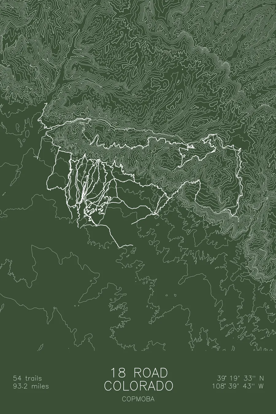
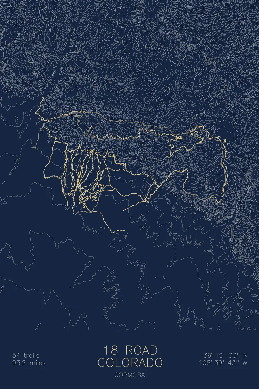
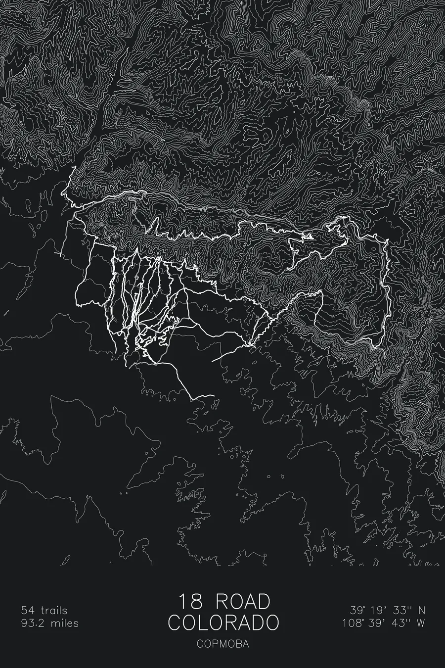
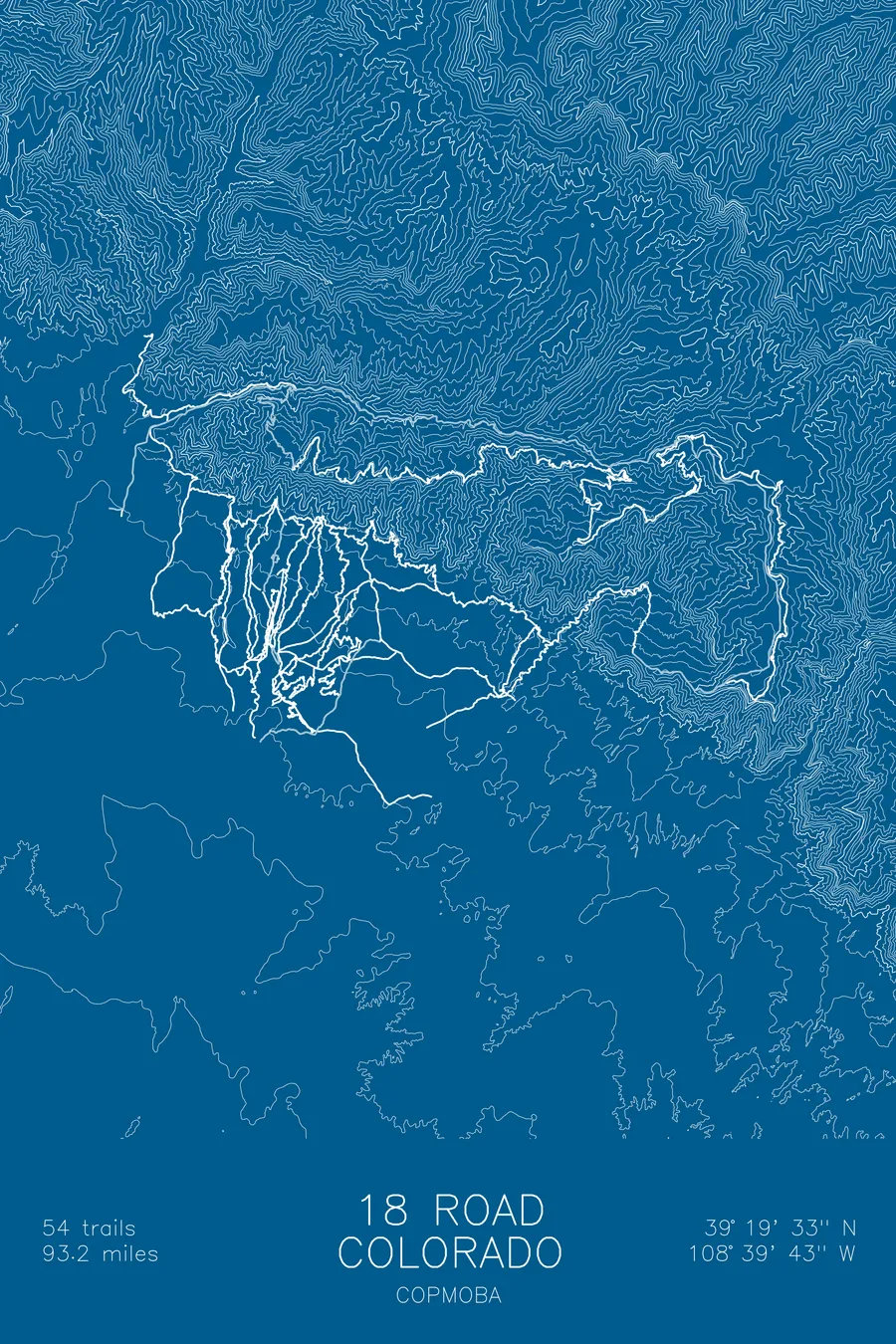
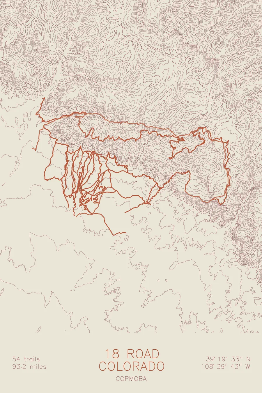
A mountain bike trail map of 18 Road, Colorado, combining the trail network with the surrounding topography.
Fruita was broke in 1995; mountain biking now brings it an estimated $42 million a year.
$63
Ink & paper: Tan
Size: 12×18"
+Personalize this map
+ Details
- 12 × 18 inches
- Drawn on 98 lb (160 gsm) archival cotton paper
- Precision technical pens and archival inks
- Signed and dated on the back
- Ships flat, protected, ready to frame
Each map begins with elevation data and is drawn by a pen plotter in our Vermont studio. Mechanical precision, plus the texture and small imperfections of real ink on paper.
Off the screen
In real rooms



















+ About this map
In 1995 Fruita, Colorado was essentially broke: irrigation problems had collapsed its agriculture and the local oil refinery had closed. Then Troy Rarick bought a cheap building downtown, opened a bike shop called Over the Edge Sports, and with local riders started building singletrack on the surrounding public land. Mountain biking now brings the town an estimated $42 million a year and roughly 50,000 visiting riders, a good share of whom come straight to 18 Road, where 54 trails and 93.2 miles of singletrack, Zippity Do Da and PBR and Kessel Run among them, fan across the North Fruita Desert at the foot of the Book Cliffs.
The map traces every trail in the system as it threads through the contours, from the tight lines stacked against the Book Cliffs down to the open desert below. The contour lines show why the riding works the way it does: long, even ridgelines that let trails run downhill for miles, cut by the shallow washes and gullies the flow trails drop into. The campground sits right in the middle of the ink, where every ride here begins and ends.
+ Map details
- 18 Road
- Colorado
- United States
- Colorado Plateau
- 8,669 ft / 2,642 m
- 39.3258N 108.6619W
- Mountain bike trail map
- Original pen plot, archival ink on cotton paper
- 8 × 12 in · 12 × 18 in · 18 × 24 in
- 54 trails, 93.2 miles of singletrack
More maps