Utah
Amasa Back
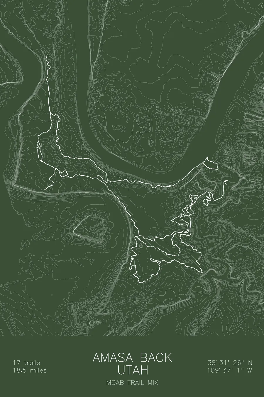
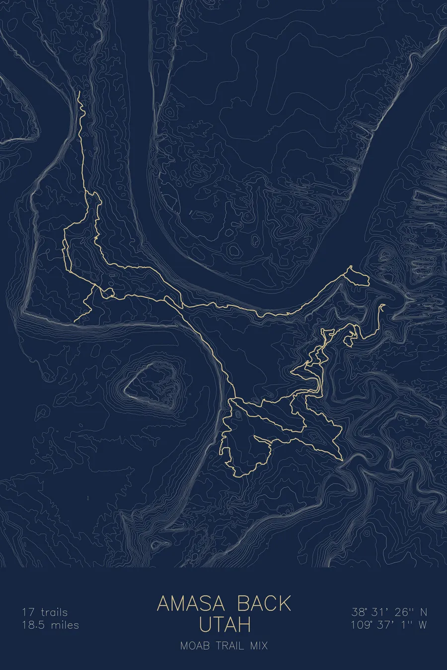
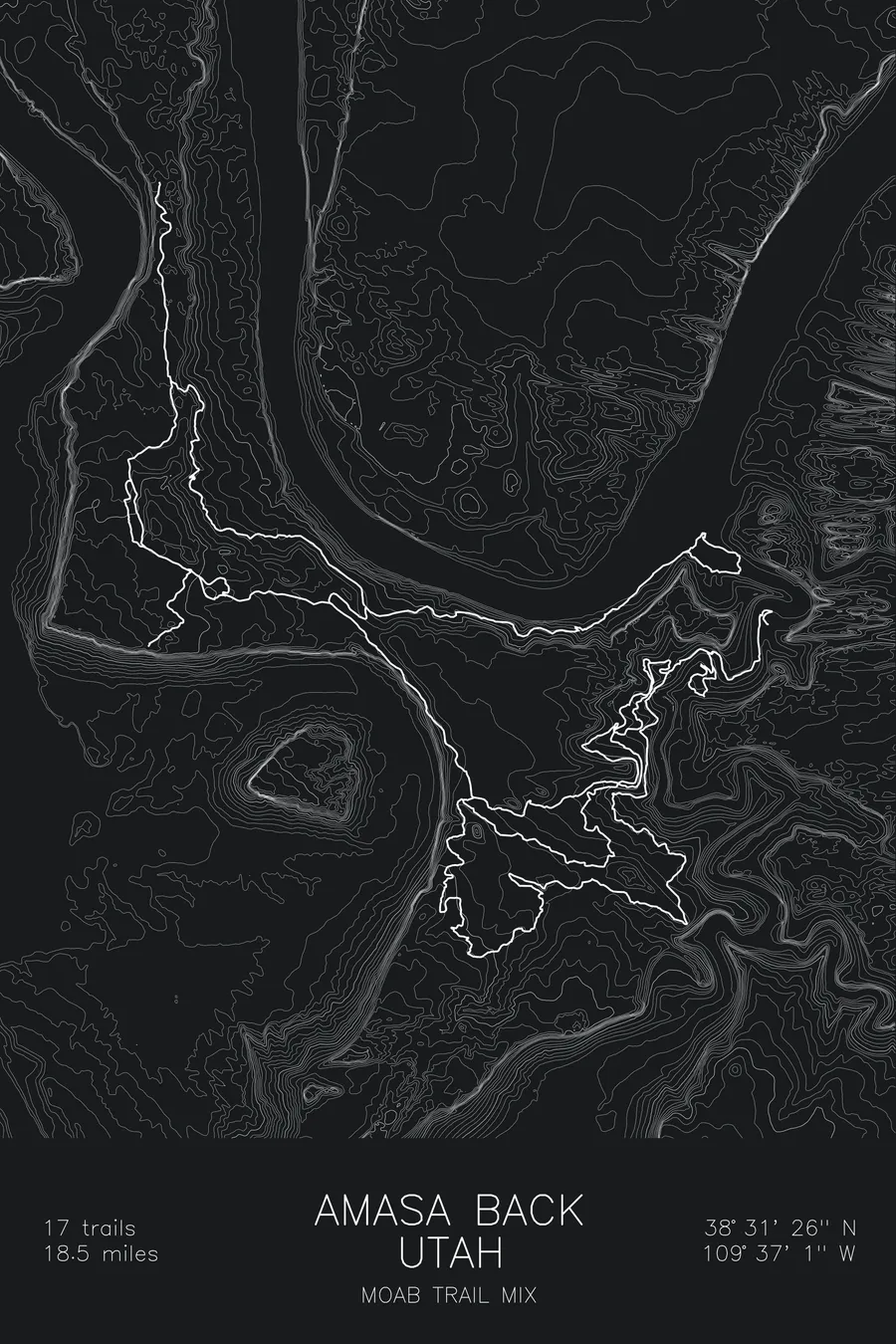
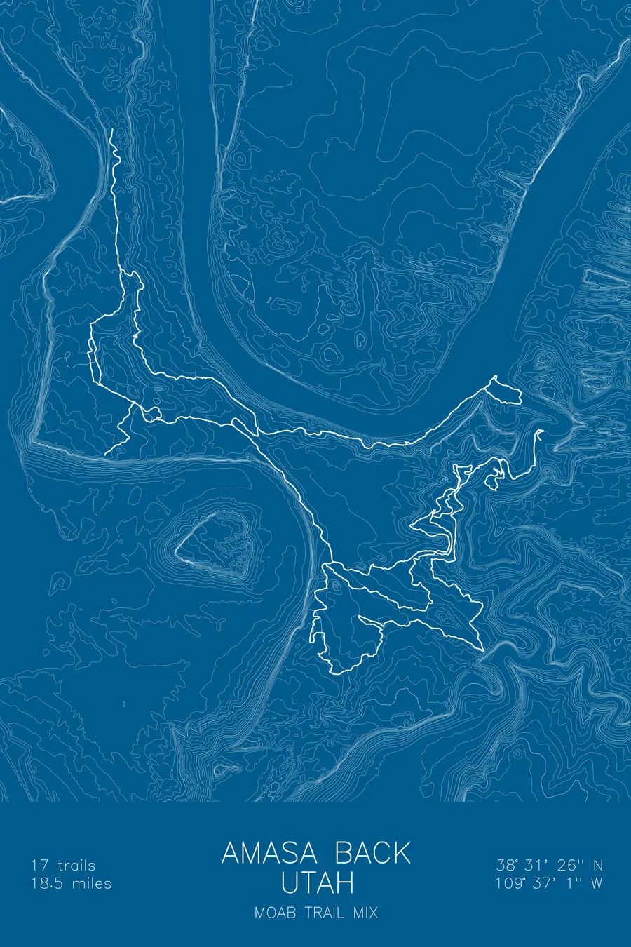
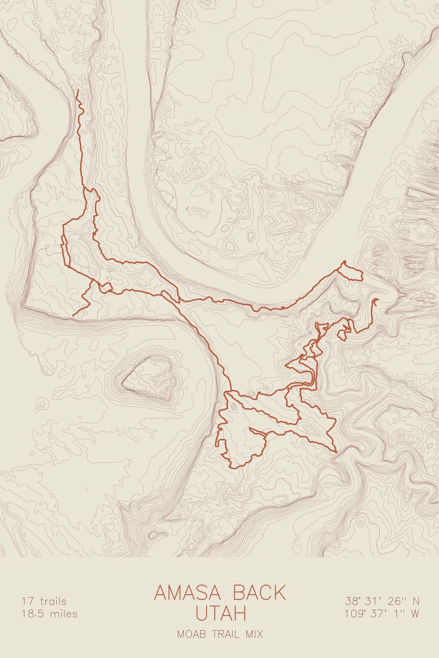
A mountain bike trail map of Amasa Back, Utah, combining the trail network with the surrounding topography.
Hymasa, the climb to Captain Ahab, is a memorial folded into a portmanteau.
$63
Ink & paper: Black
Size: 12×18"
+Personalize this map
+ Details
- 12 × 18 inches
- Drawn on 98 lb (160 gsm) archival cotton paper
- Precision technical pens and archival inks
- Signed and dated on the back
- Ships flat, protected, ready to frame
Each map begins with elevation data and is drawn by a pen plotter in our Vermont studio. Mechanical precision, plus the texture and small imperfections of real ink on paper.
Off the screen
In real rooms



















+ About this map
The trail name Hymasa looks like standard trail-map wordplay, and it is not. Tyson Swasey, the Moab trail builder who cut the climbing route up to Captain Ahab, folded a memorial into it: Jonny Hymas, a pioneer of the Moab bike scene and longtime manager of Moab Cyclery, was killed in a car accident in late December 2011, and when the trails were completed in March 2014 his surname had been fused with Amasa. The mesa itself is a slickrock peninsula wrapped by the Colorado River and Kane Creek, 17 trails and 18.5 miles of singletrack, ledgy, exposed, and classic Moab.
The map traces those trails as they switchback up through the contours and run out along the rim. The contour lines pile up hard where the mesa drops to the river, showing the cliff bands that make the exposure real, then loosen across the top where the slickrock rolls. You can follow Ahab’s line down the drainage and see exactly why it descends the way it does.
+ Map details
- Amasa Back
- Utah
- United States
- Colorado Plateau
- 5,439 ft / 1,658 m
- 38.5239N 109.6169W
- Mountain bike trail map
- Original pen plot, archival ink on cotton paper
- 8 × 12 in · 12 × 18 in · 18 × 24 in
- 17 trails, 18.5 miles of singletrack
More maps