Arizona
Sedona
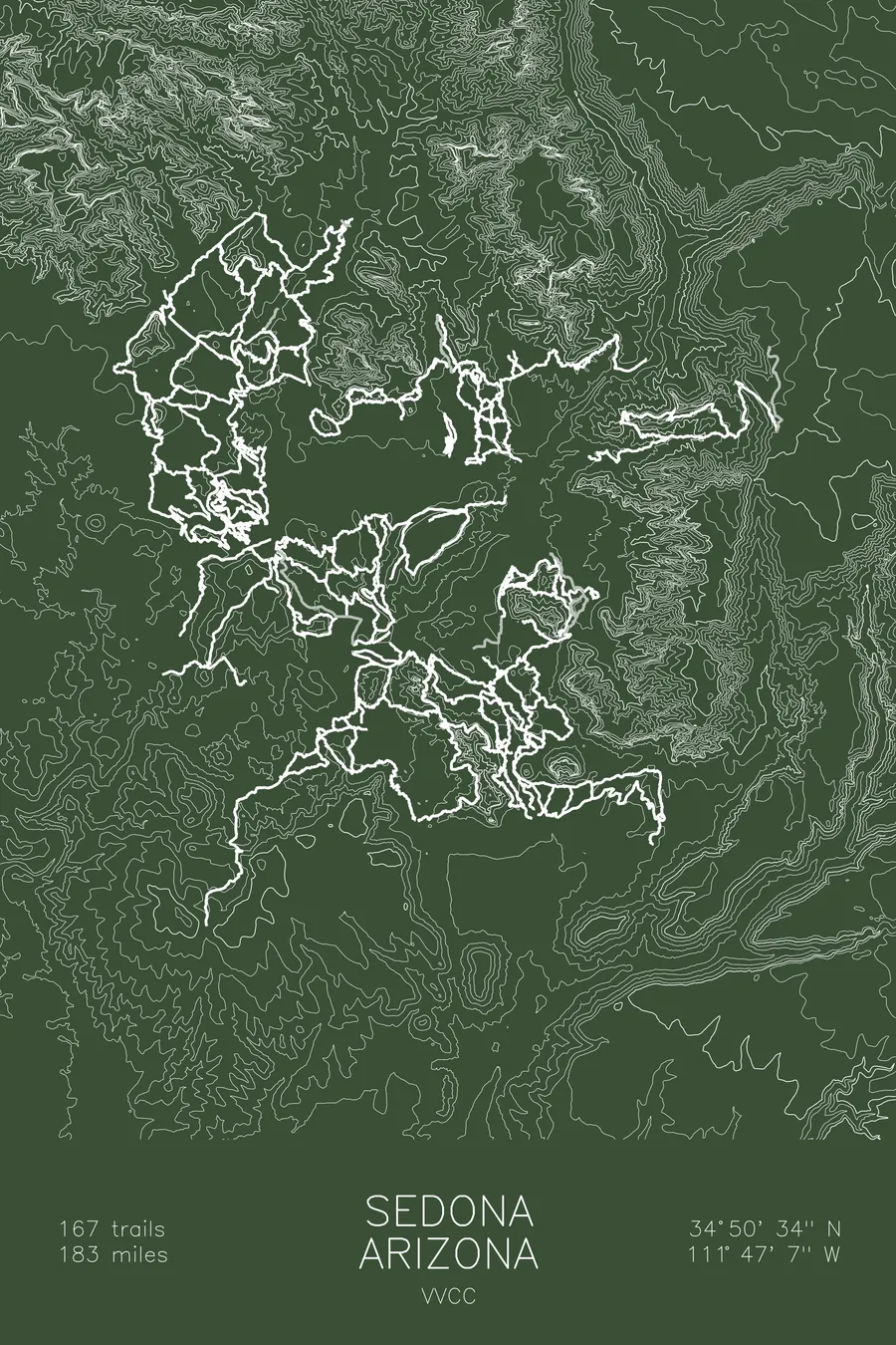
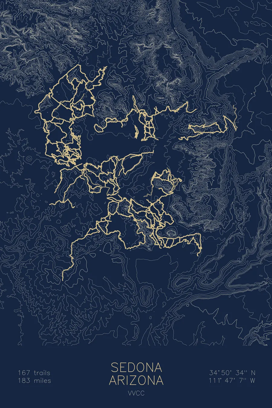
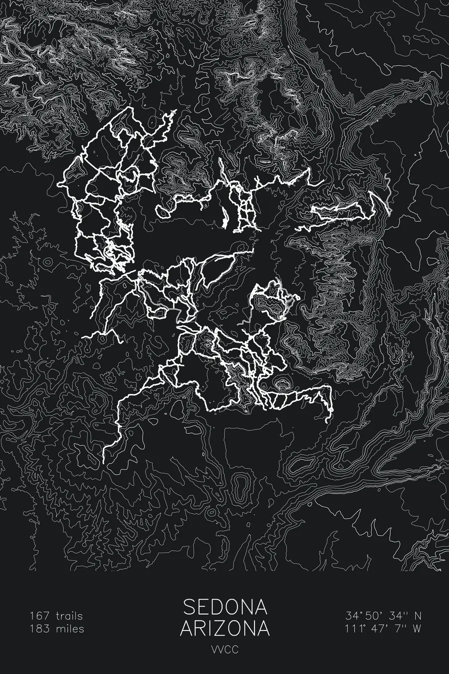
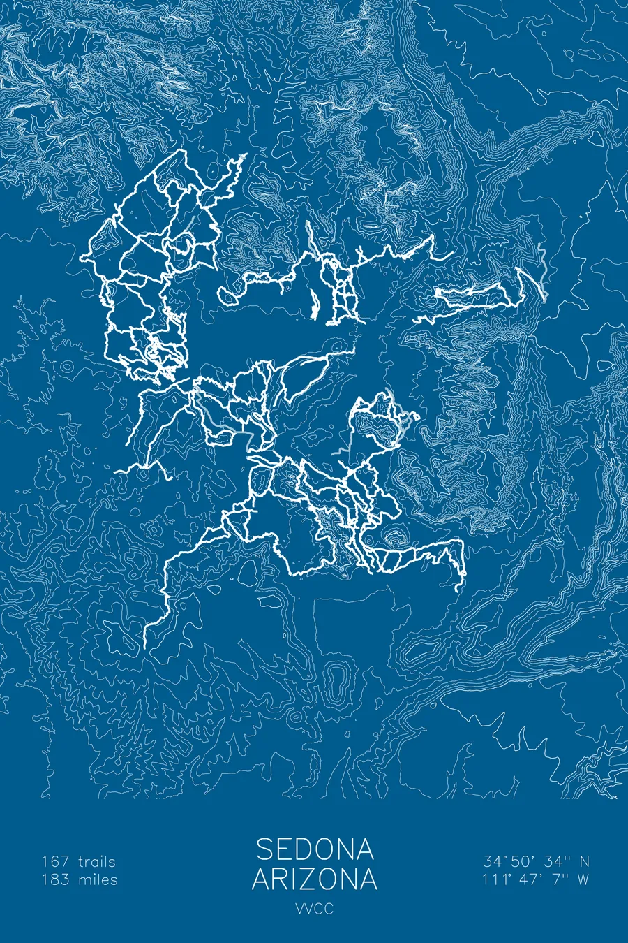
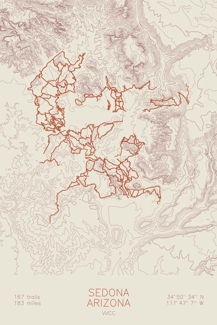
A mountain bike trail map of Sedona, Arizona, combining the trail network with the surrounding topography.
The Forest Service banned these trails for years, then in 2009 began adopting them into the official system, Hangover first.
$63
Ink & paper: Tan
Size: 12×18"
+Personalize this map
+ Details
- 12 × 18 inches
- Drawn on 98 lb (160 gsm) archival cotton paper
- Precision technical pens and archival inks
- Signed and dated on the back
- Ships flat, protected, ready to frame
Each map begins with elevation data and is drawn by a pen plotter in our Vermont studio. Mechanical precision, plus the texture and small imperfections of real ink on paper.
Off the screen
In real rooms



















+ About this map
Sedona’s best trails were illegal for the better part of two decades, until the Forest Service decided the simplest solution was to adopt them. The network began in the early 1990s with outlaw riders led by Rama Jon Cogan, owner of a shop called Mountain Bike Heaven, and in 2009 the agency announced that rather than destroy the unsanctioned trails it would fold them into the official system, starting with the most famous, Hangover, thereby legalizing cliffside traverses its own rules had prohibited building. Roughly 45 miles have come in since, including Hiline’s exposed traverse, and the network now runs to 167 trails and 182.7 miles of red rock singletrack.
The map traces the full network through the contours of the Sedona basin. The contour lines close into tight rings around the rock formations, Cathedral Rock country to the south and the mesas above town, then relax across the flats where the flow trails run. You can see how the riding is organized: trails circling the bases of the big rock, climbing the benches, and edging along the rims where the tech lives.
+ Map details
- Sedona
- Arizona
- United States
- Colorado Plateau
- 7,116 ft / 2,169 m
- 34.8428N 111.7853W
- Mountain bike trail map
- Original pen plot, archival ink on cotton paper
- 8 × 12 in · 12 × 18 in · 18 × 24 in
- 167 trails, 182.7 miles of singletrack
More maps