Utah
Alta
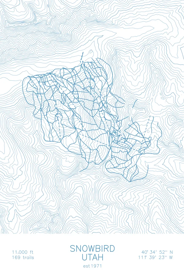
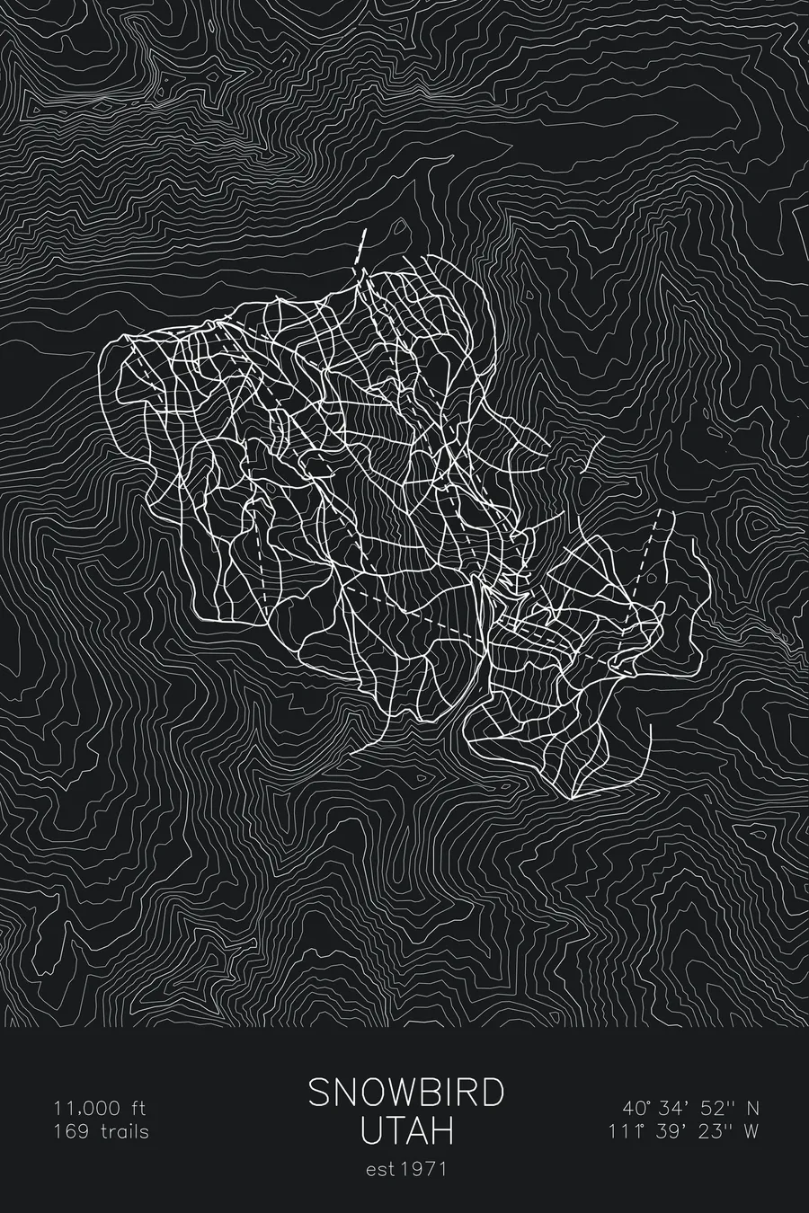
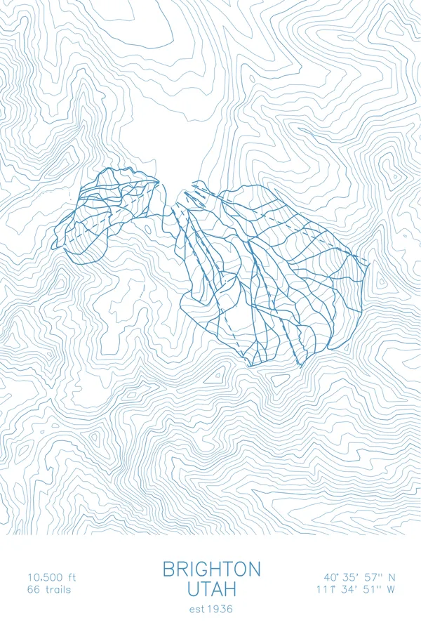
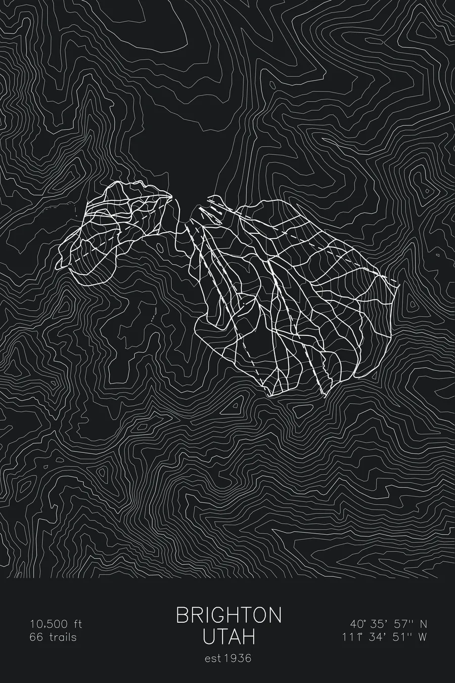
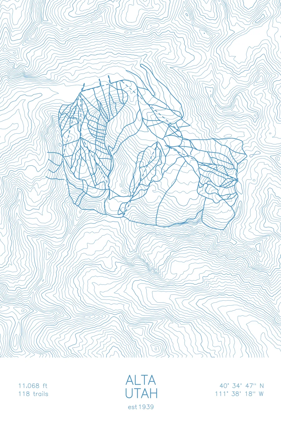
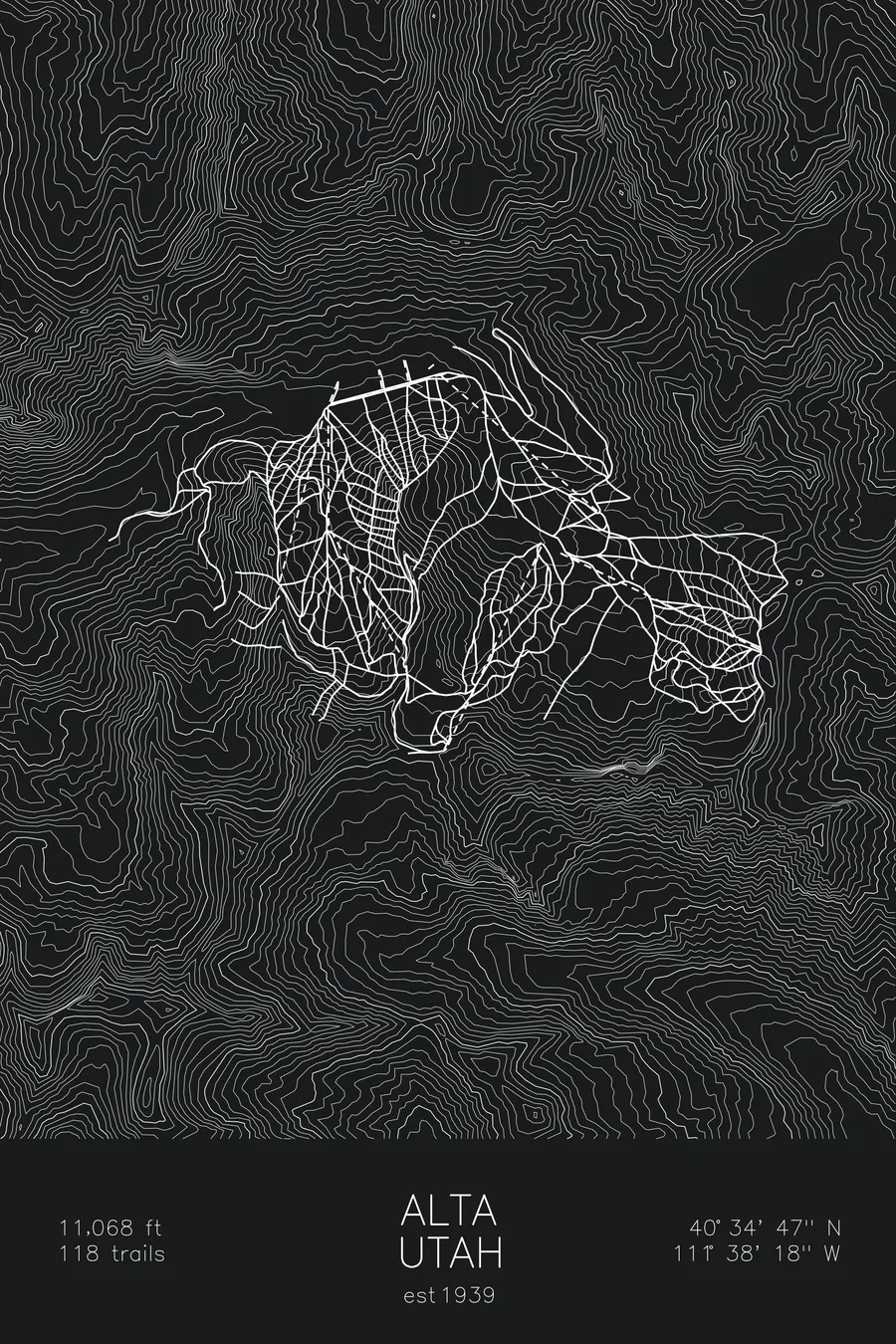
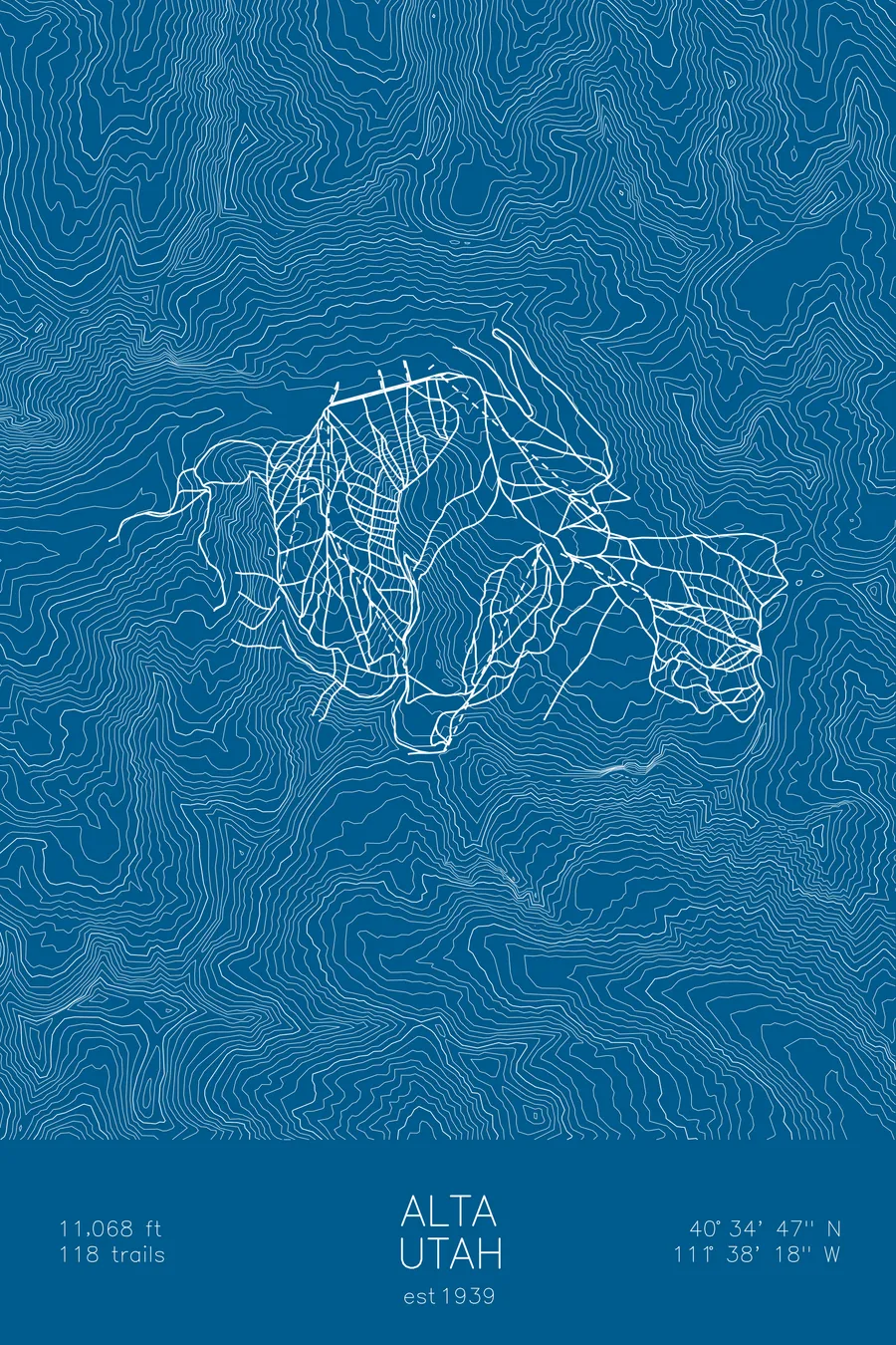
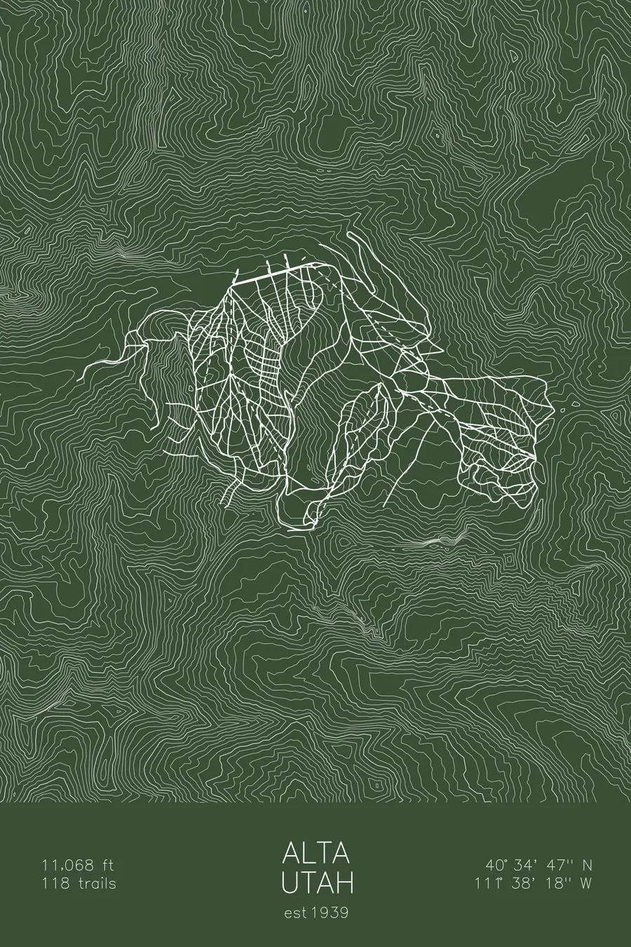
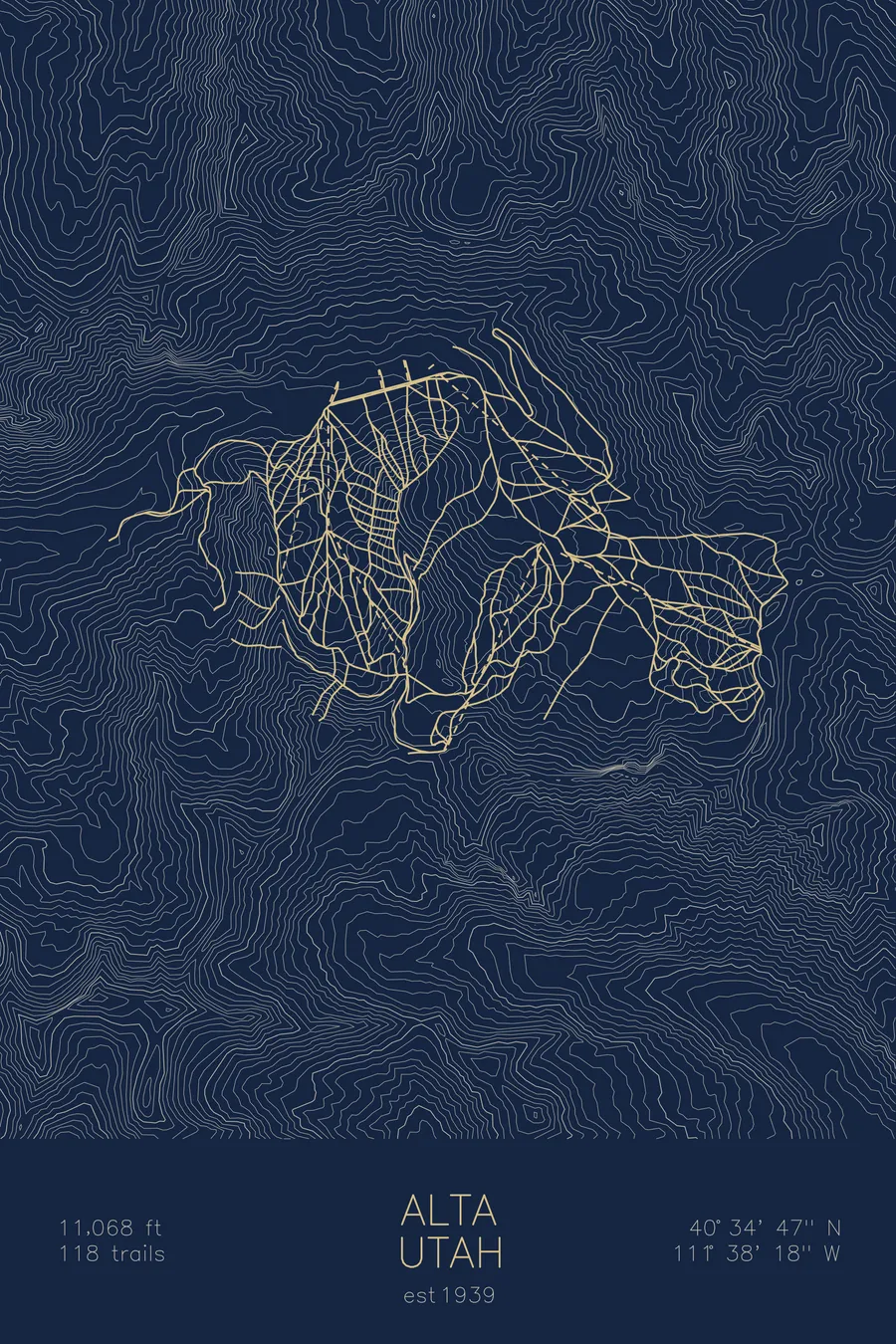
A topographic ski map of Alta, Utah, with the resort's runs and lifts drawn over real terrain in a minimalist contour-line design.
Built on land deeded in 1937 by George Watson, the busted silver town's last resident and self-declared mayor.
$63
Ink & paper: Arctic White
Size: 12×18"
+Personalize this map
+ Details
- 12 × 18 inches
- Drawn on 98 lb (160 gsm) archival cotton paper
- Precision technical pens and archival inks
- Signed and dated on the back
- Ships flat, protected, ready to frame
Each map begins with elevation data and is drawn by a pen plotter in our Vermont studio. Mechanical precision, plus the texture and small imperfections of real ink on paper.
Off the screen
In real rooms



















+ About this map
In January 2014 four snowboarders and a nonprofit called Wasatch Equality sued Alta in federal court, arguing that the resort’s snowboard ban violated the Equal Protection Clause of the Fourteenth Amendment. Judge Dee Benson dismissed the case that September, writing: “To put it simply, Plaintiffs’ case fails because there is no law to support it.” Alta has been skiers-only since 1939, high in Utah’s Little Cottonwood Canyon where snowfall regularly exceeds 500 inches a season, and it is now skiers-only with the blessing of the federal judiciary.
+ Map details
- Alta
- Utah
- United States
- Rocky Mountains
- 11,068 ft / 3,374 m
- 40.5797N 111.6383W
- Ski resort trail map
- Original pen plot, archival ink on cotton paper
- 8 × 12 in · 12 × 18 in · 18 × 24 in
- Est. 1939. 118 trails
More maps