Utah / Idaho
Bear Lake
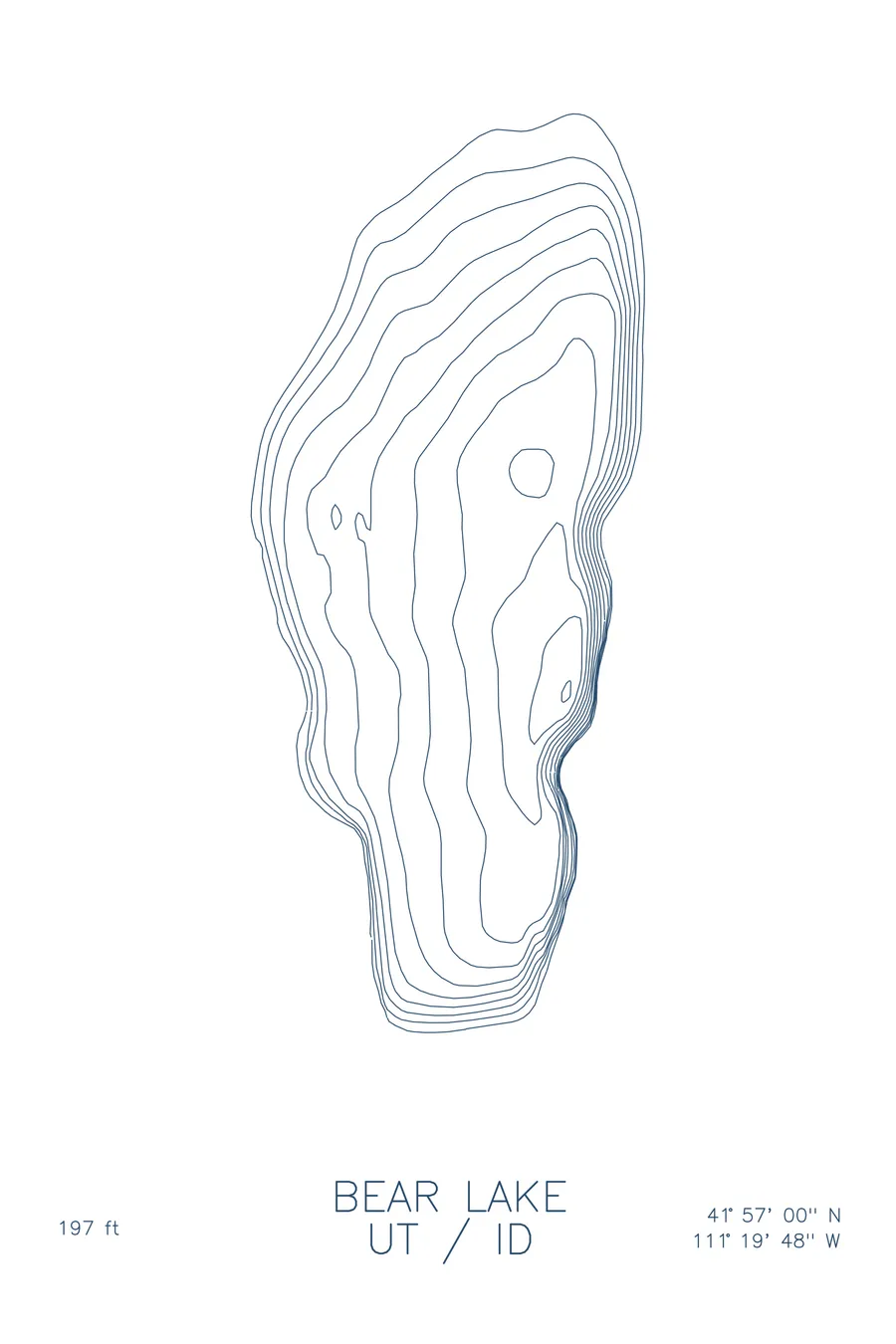
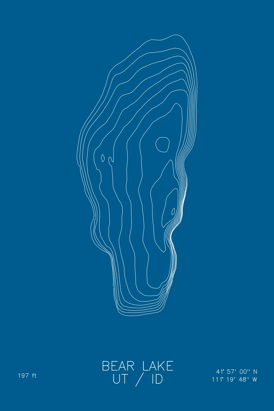
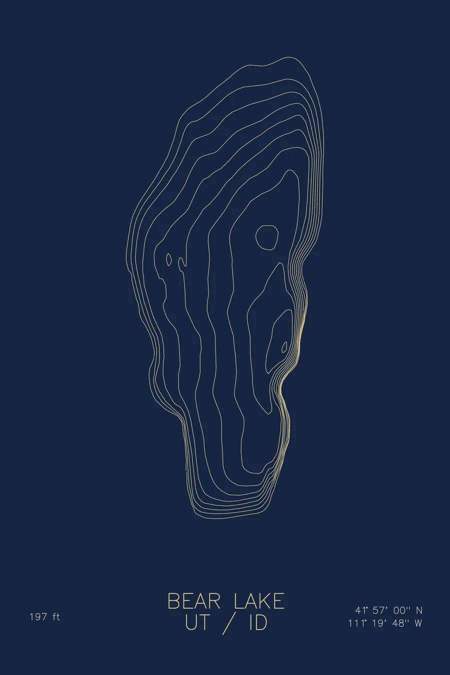
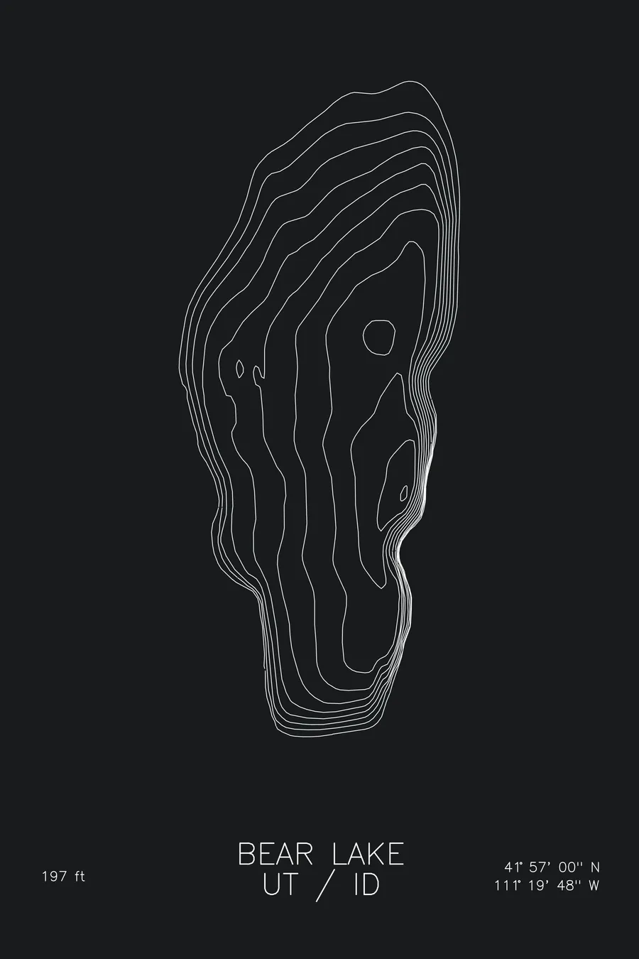
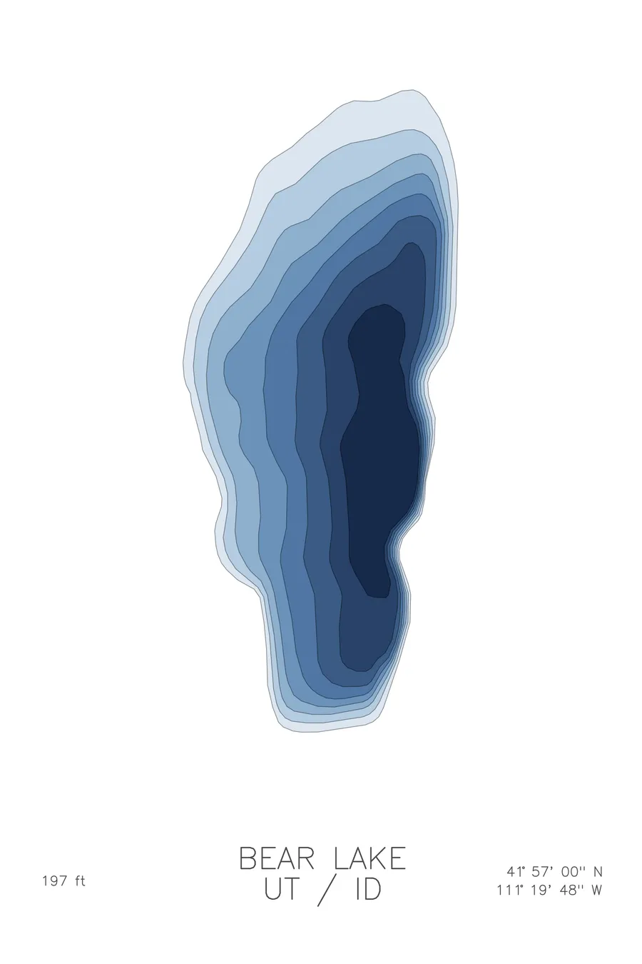
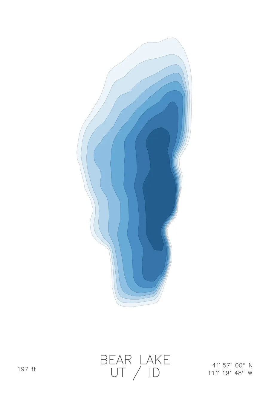
A bathymetric depth map of Bear Lake, Utah / Idaho, drawn from real lake survey data in a minimalist contour-line design.
Its monster was confessed a hoax by its own inventor; sightings continued anyway until at least 1946.
$50
Ink & paper: Lake Blue
Size: 12×18"
+Personalize this map
+ Details
- 12 × 18 inches
- Drawn on 98 lb (160 gsm) archival cotton paper
- Precision technical pens and archival inks
- Signed and dated on the back
- Ships flat, protected, ready to frame
Each map begins with elevation data and is drawn by a pen plotter in our Vermont studio. Mechanical precision, plus the texture and small imperfections of real ink on paper.
Off the screen
In real rooms



















+ About this map
The man who invented the Bear Lake Monster confessed, and it made no difference. In 1868, Deseret News correspondent Joseph C. Rich reported a serpent-like creature in the lake, citing local sightings; twenty-six years later he admitted the whole thing was, in his words, a first-class lie. The sightings carried on regardless: a 1907 letter claimed the monster had killed a horse at a lakeside camp, a four-year-old reported it in 1937, and a Boy Scout leader in 1946. The lake itself straddles the Utah-Idaho line at nearly 6,000 feet, turned turquoise by suspended limestone, 197 feet deep, and home to several fish species found nowhere else on Earth.
The depth contours show a remarkably clean oval basin. Lines pack tightly along the eastern shore, where the valley’s fault drops the lakebed away steeply, and relax into broad shallow shelves on the west and at either end. The deep central trough runs the length of the lake, a simple, elegant shape that reflects just how old and settled this basin is.
+ Map details
- Bear Lake
- Utah / Idaho
- United States
- Rocky Mountains
- 41.9500N 111.3300W
- Lake bathymetric depth map
- Original pen plot, archival ink on cotton paper
- 8 × 12 in · 12 × 18 in · 18 × 24 in
- Max depth 197 ft
More maps