Colorado
Aspen Snowmass
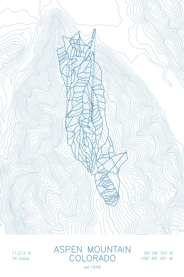
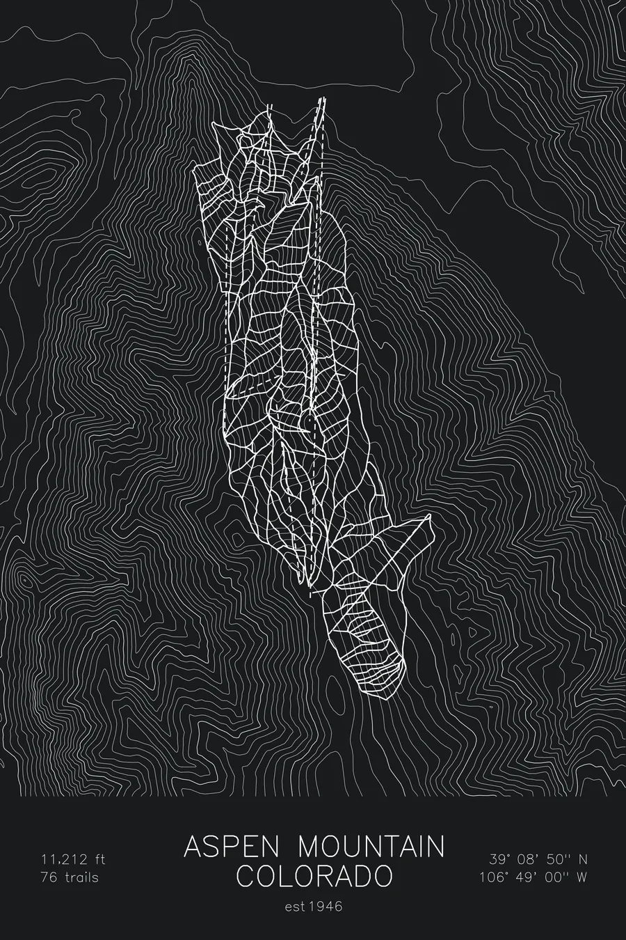
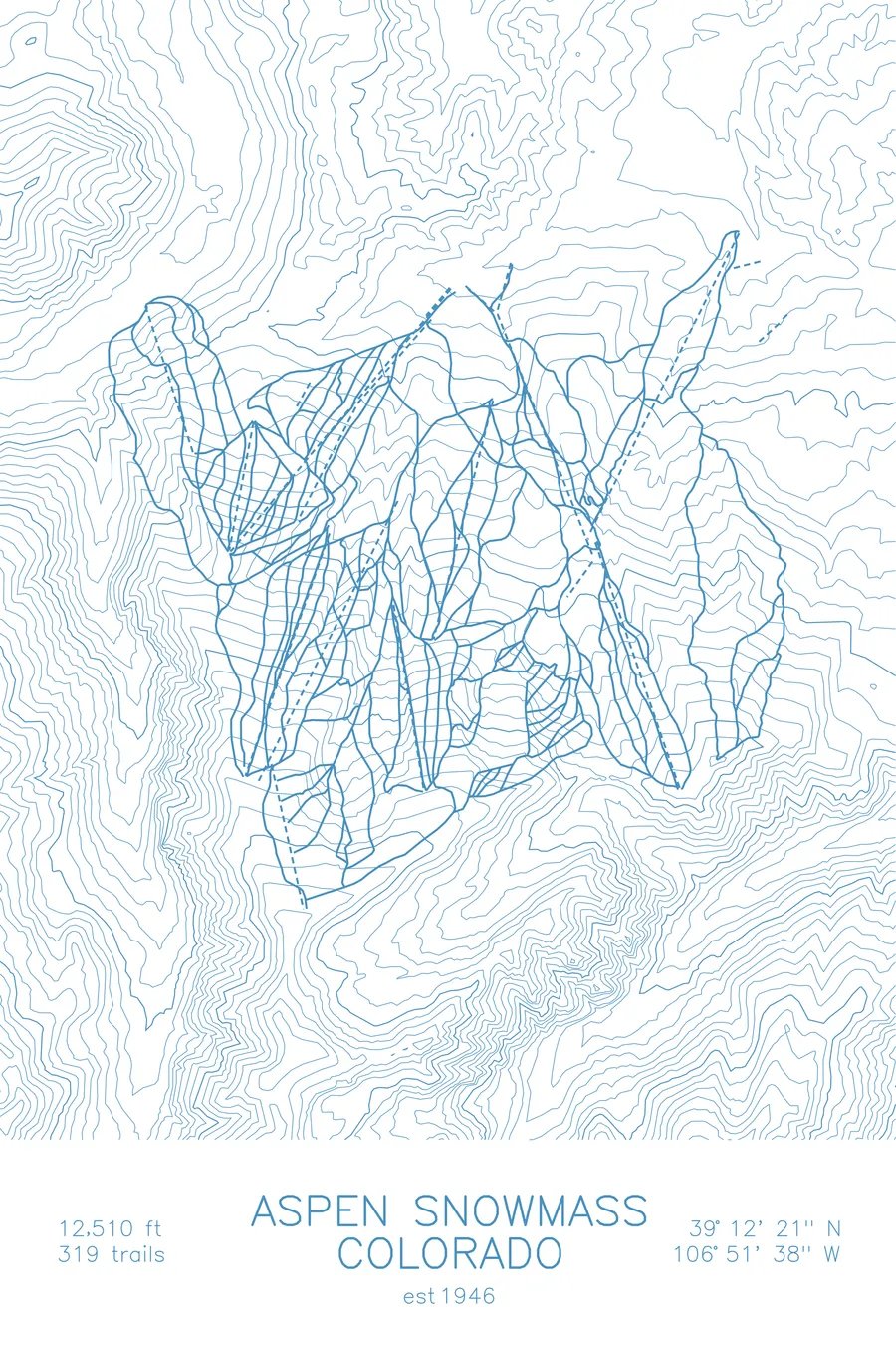
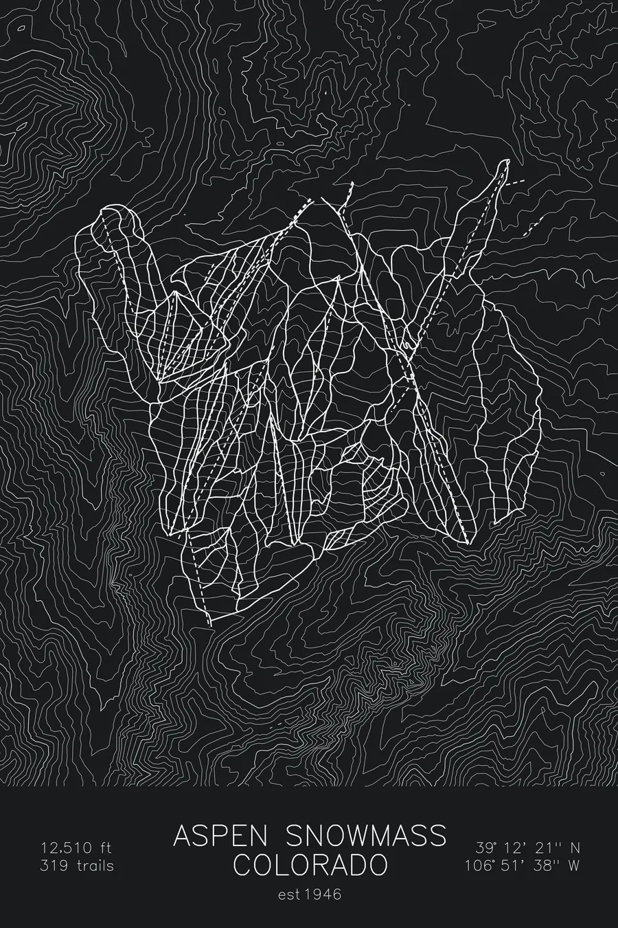
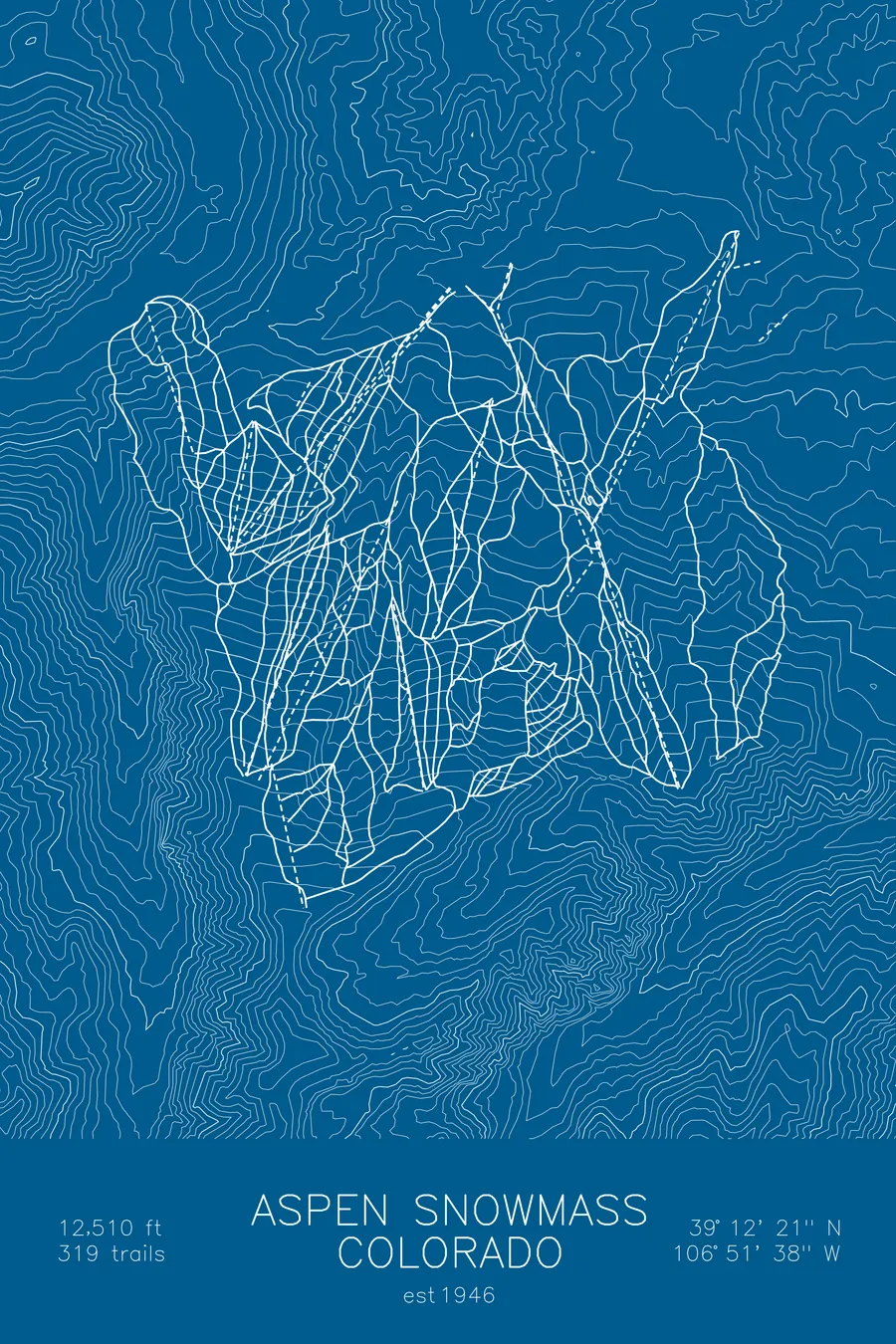
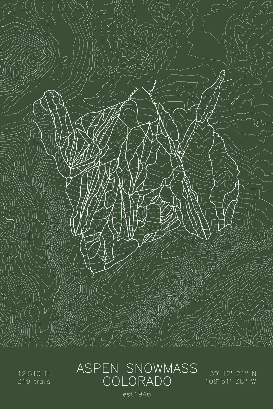
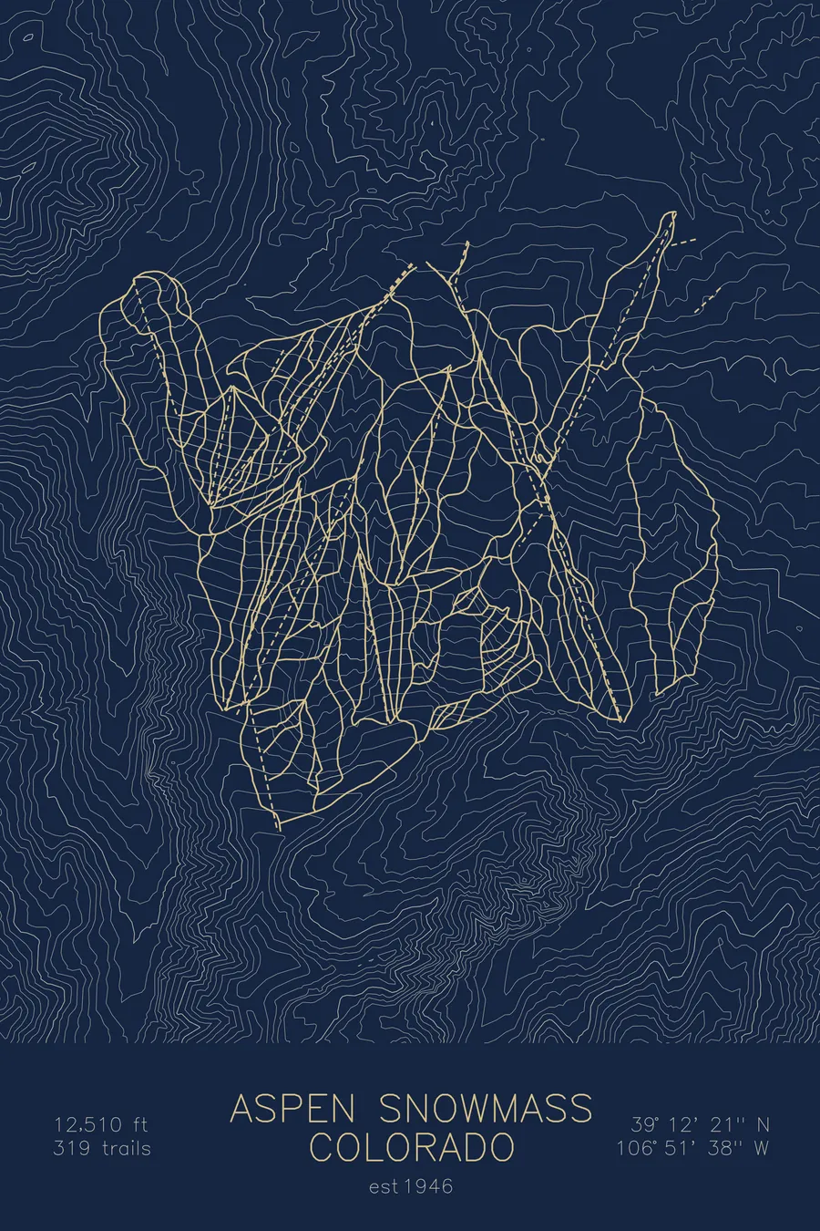
A topographic ski map of Aspen Snowmass, Colorado, with the resort's runs and lifts drawn over real terrain in a minimalist contour-line design.
Lift-1, opened December 1946, was christened with a bottle of champagne broken over one of its 124 single chairs.
$63
Ink & paper: Arctic White
Size: 12×18"
+Personalize this map
+ Details
- 12 × 18 inches
- Drawn on 98 lb (160 gsm) archival cotton paper
- Precision technical pens and archival inks
- Signed and dated on the back
- Ships flat, protected, ready to frame
Each map begins with elevation data and is drawn by a pen plotter in our Vermont studio. Mechanical precision, plus the texture and small imperfections of real ink on paper.
Off the screen
In real rooms



















+ About this map
When Lift-1 opened on Aspen Mountain on December 14, 1946, locals proclaimed it the longest chairlift in the world: about 8,480 feet of cable rising roughly 2,570 vertical feet on 124 single chairs. At the formal opening that January, Colorado governor-elect William Lee Knous christened it by breaking a bottle of champagne over one of the chairs, a ceremony normally reserved for ships. The company behind it had been formed in 1946 by Friedl Pfeifer, an Austrian-born 10th Mountain Division sergeant, and Chicago cardboard-box magnate Walter Paepcke. The resort now spans four mountains, Aspen Mountain, Snowmass, Aspen Highlands, and Buttermilk, and over 5,500 acres of Colorado’s Elk Mountains.
The crown jewel is Highland Bowl, a hike-to amphitheater of steep, open powder lines above 12,000 feet that skiers earn on foot from the top of the lifts. The contour map traces all of this high Elk Mountain terrain, from the tight ridgelines above treeline down to the valley floor of the Roaring Fork.
+ Map details
- Aspen Snowmass
- Colorado
- United States
- Rocky Mountains
- 12,510 ft / 3,813 m
- 39.2058N 106.8606W
- Ski resort trail map
- Original pen plot, archival ink on cotton paper
- 8 × 12 in · 12 × 18 in · 18 × 24 in
- Est. 1946. 319 trails
More maps