Alaska
Alyeska
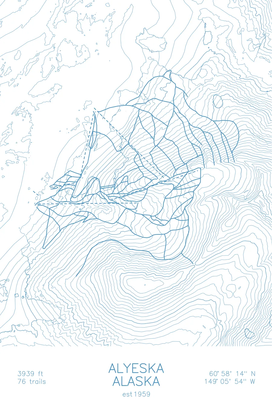
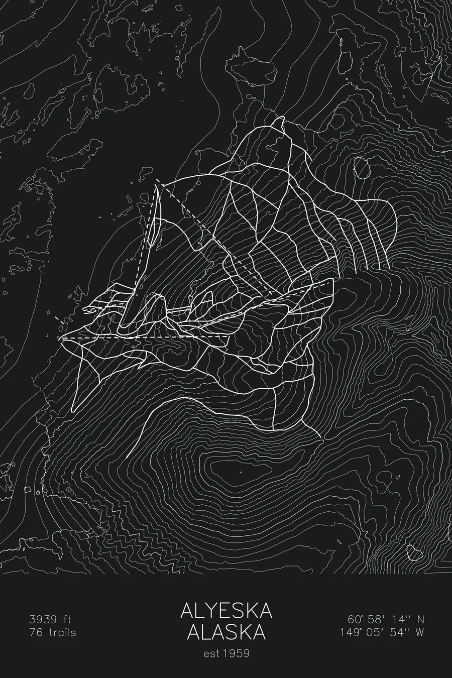
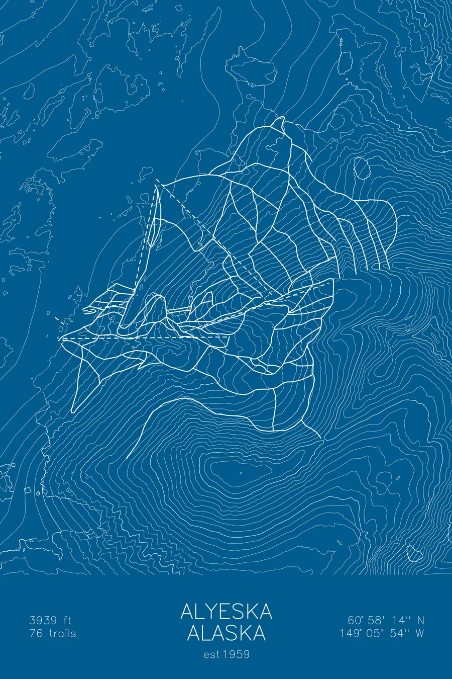
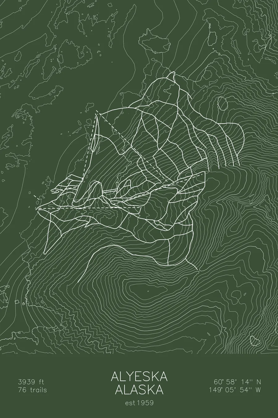
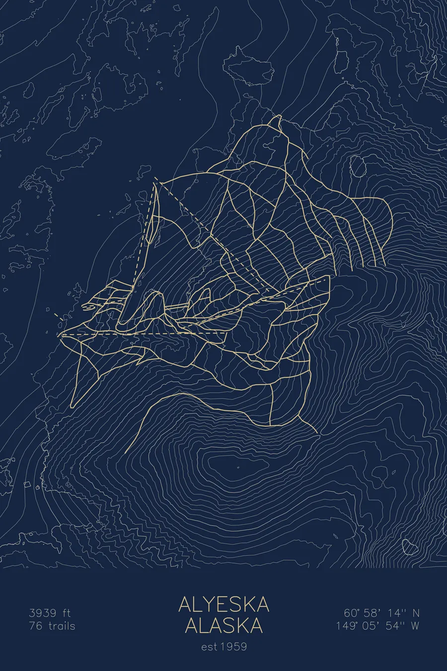
A topographic ski map of Alyeska, Alaska, with the resort's runs and lifts drawn over real terrain in a minimalist contour-line design.
Girdwood, at the base, was rebuilt 2.5 miles up the valley after the 1964 earthquake put the original site below high tide.
$63
Ink & paper: Arctic White
Size: 12×18"
+Personalize this map
+ Details
- 12 × 18 inches
- Drawn on 98 lb (160 gsm) archival cotton paper
- Precision technical pens and archival inks
- Signed and dated on the back
- Ships flat, protected, ready to frame
Each map begins with elevation data and is drawn by a pen plotter in our Vermont studio. Mechanical precision, plus the texture and small imperfections of real ink on paper.
Off the screen
In real rooms



















+ About this map
The town at the base of Alyeska is 2.5 miles from where it started. The magnitude-9.2 Good Friday earthquake of March 27, 1964 dropped the land under the original Girdwood townsite by almost 2 meters, which put much of the town below high tide, so Girdwood was rebuilt up the valley. Seawater killed the trees at the old site but left them standing, and the ghost forest of dead trunks is still visible along Turnagain Arm. Above all of it rises Alaska’s largest ski area, with 2,500 feet of vertical drop, a deep sub-arctic snowpack, and views of the Chugach Mountains.
+ Map details
- Alyeska
- Alaska
- United States
- Alaska
- 3,939 ft / 1,201 m
- 60.9706N 149.0983W
- Ski resort trail map
- Original pen plot, archival ink on cotton paper
- 8 × 12 in · 12 × 18 in · 18 × 24 in
- Est. 1959. 76 trails
More maps