Spain
Aneto
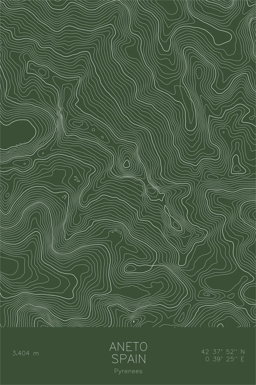
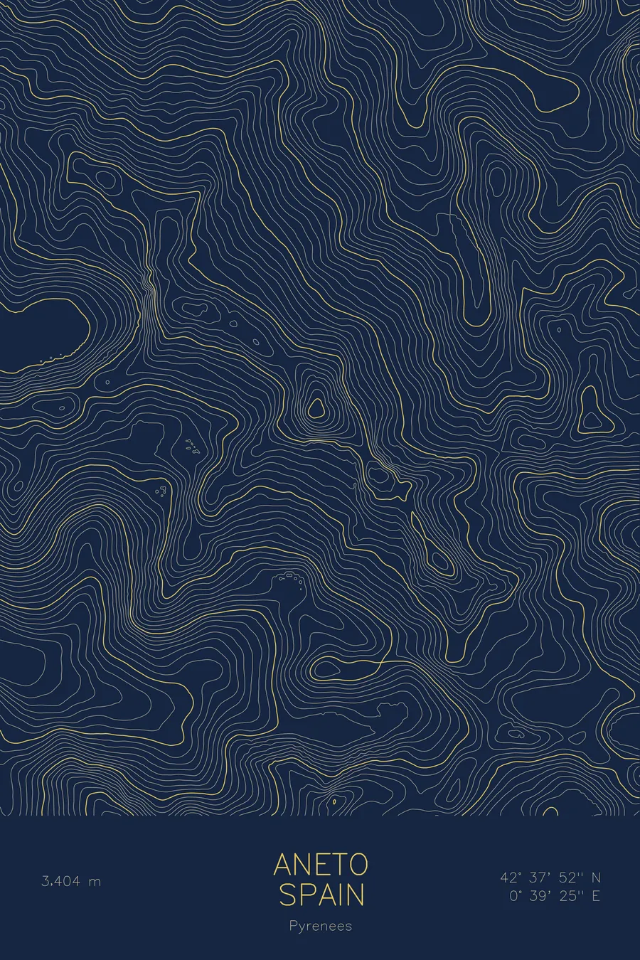
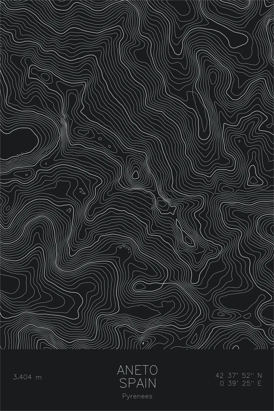
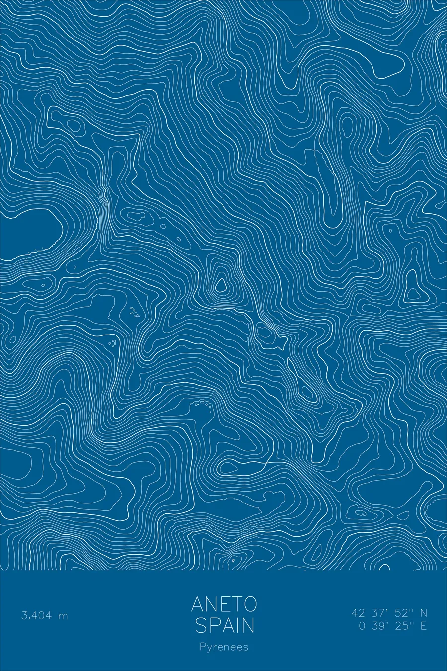
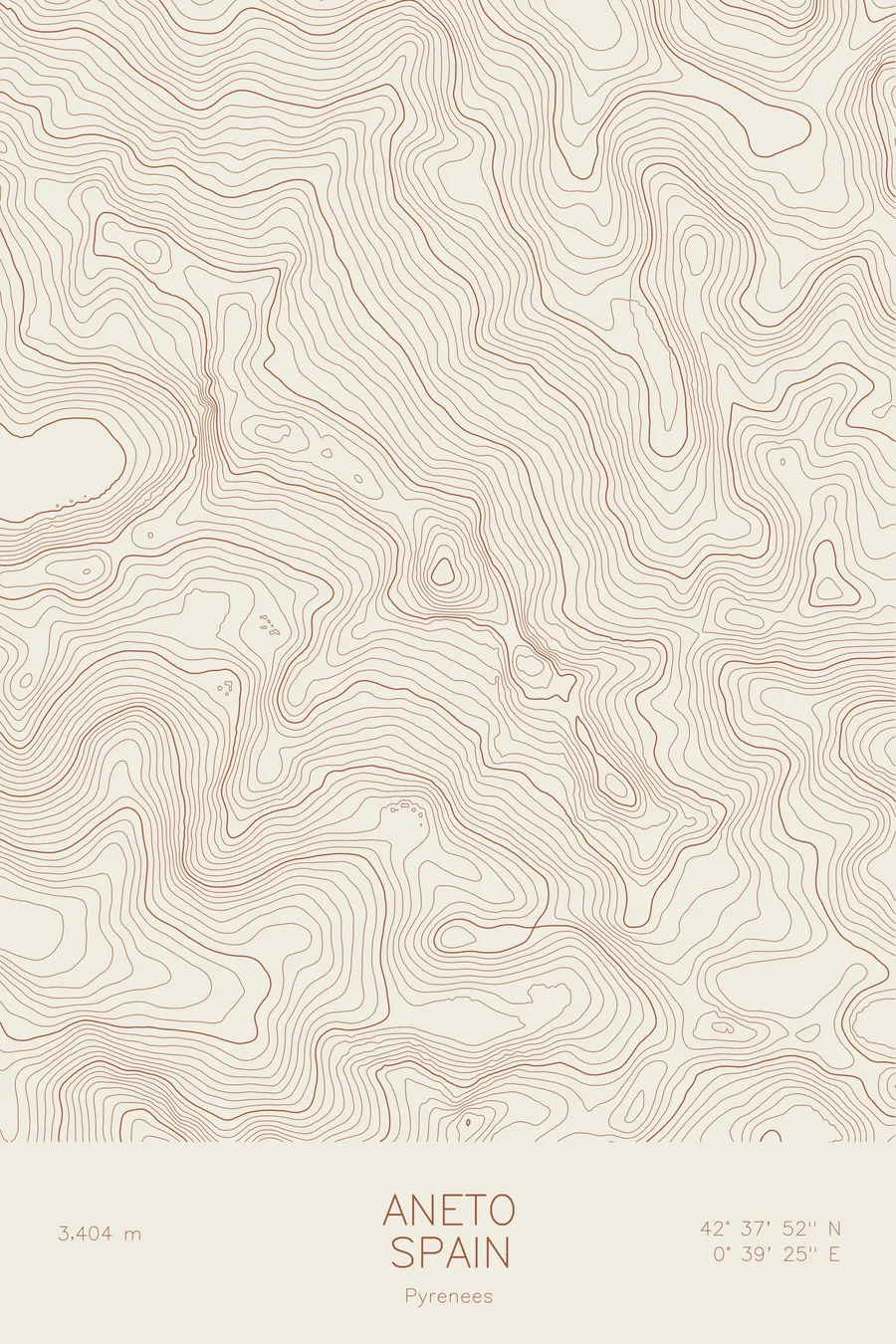
A pen-plotted topographic map of Aneto in the Pyrenees, Spain, drawn from real elevation contour data.
First climbed in 1842 by a vacationing Russian officer, via a three-day route that avoided every glacier.
$54
Ink & paper: Green
Size: 12×18"
+Personalize this map
+ Details
- 12 × 18 inches
- Drawn on 98 lb (160 gsm) archival cotton paper
- Precision technical pens and archival inks
- Signed and dated on the back
- Ships flat, protected, ready to frame
Each map begins with elevation data and is drawn by a pen plotter in our Vermont studio. Mechanical precision, plus the texture and small imperfections of real ink on paper.
Off the screen
In real rooms



















+ About this map
Aneto, the highest peak in the Pyrenees at 11,168 feet, was first climbed on July 20, 1842 by a Russian military officer on holiday. Platon de Tchihatcheff, vacationing in Bagneres-de-Luchon, joined forces with Albert de Franqueville, a Norman botanist, and four guides, on a three-day route planned specifically to avoid every glacier on the mountain. It was Franqueville who named the final knife-edge ridge the Puente de Mahoma, Mohammad’s Bridge, after the legend that the bridge into paradise is as narrow as the edge of a scimitar and only the righteous cross it. Reports from the ridge suggest the name has held up.
The map traces the granite spine of the massif. Contour lines wrap the glacier’s basin beneath the summit and follow the final ridge to the Paso de Mahoma, the exposed knife-edge scramble that guards the last steps to the top. Around Aneto the lines pick out the neighboring summits of the Maladeta group and the deep glacial valleys, dotted with tarns, that carry meltwater down toward the Esera River.
+ Map details
- Aneto
- Spain
- Pyrenees
- Pyrenees
- 11,168 ft / 3,404 m
- 42.6311N 0.6569E
- Mountain topographic map
- Original pen plot, archival ink on cotton paper
- 8 × 12 in · 12 × 18 in · 18 × 24 in
- Highest peak in the Pyrenees
More maps