New York
Basin Mountain
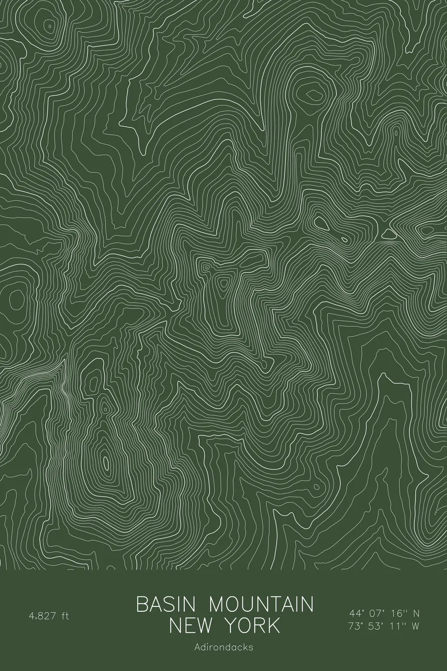
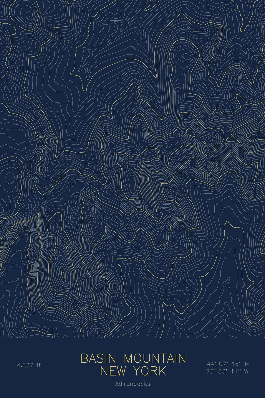
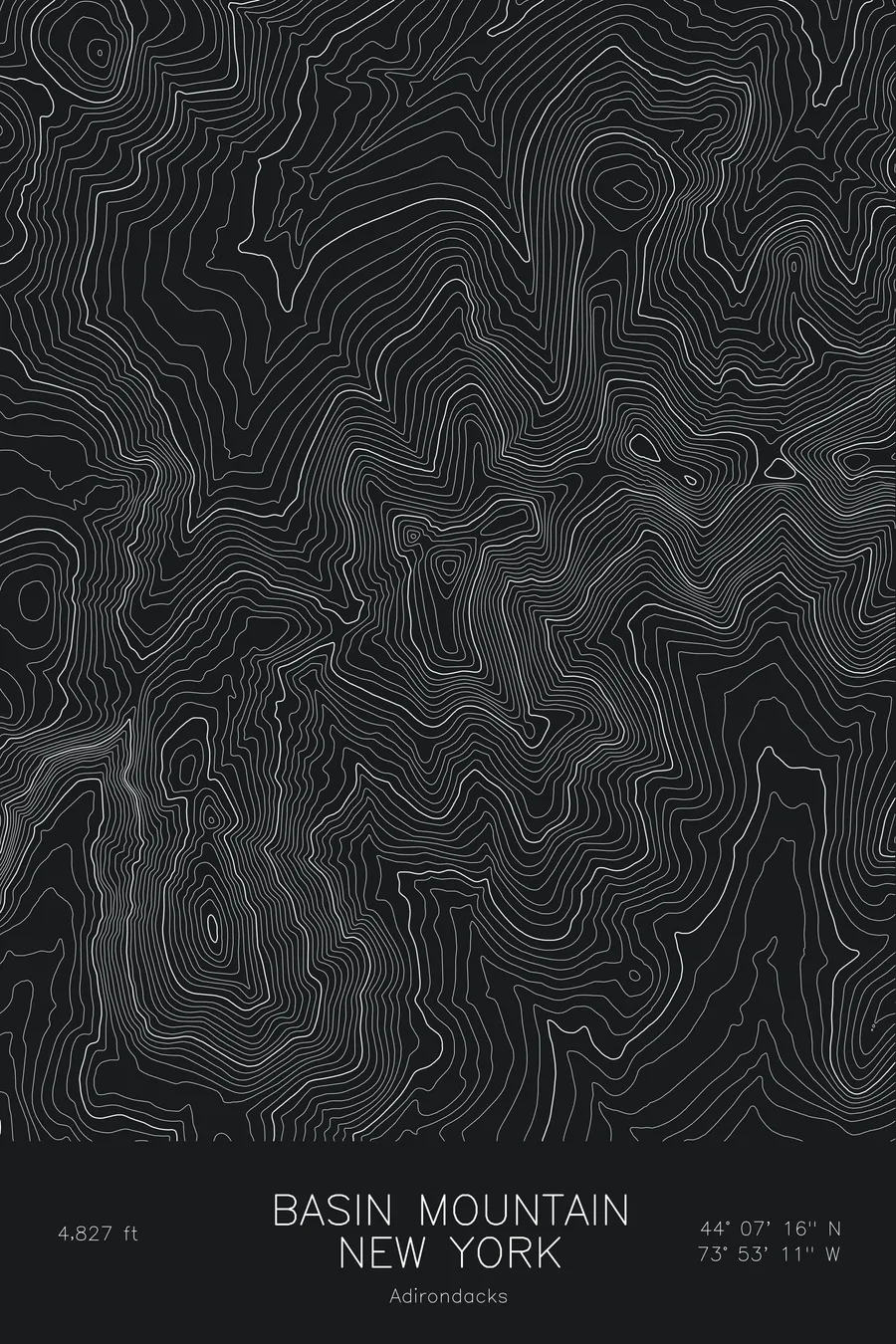
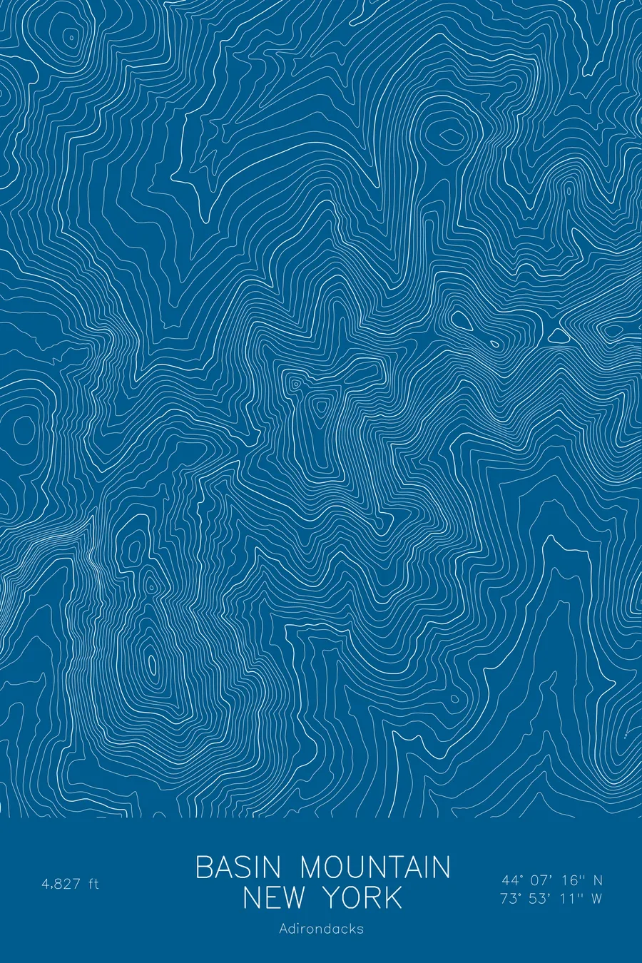
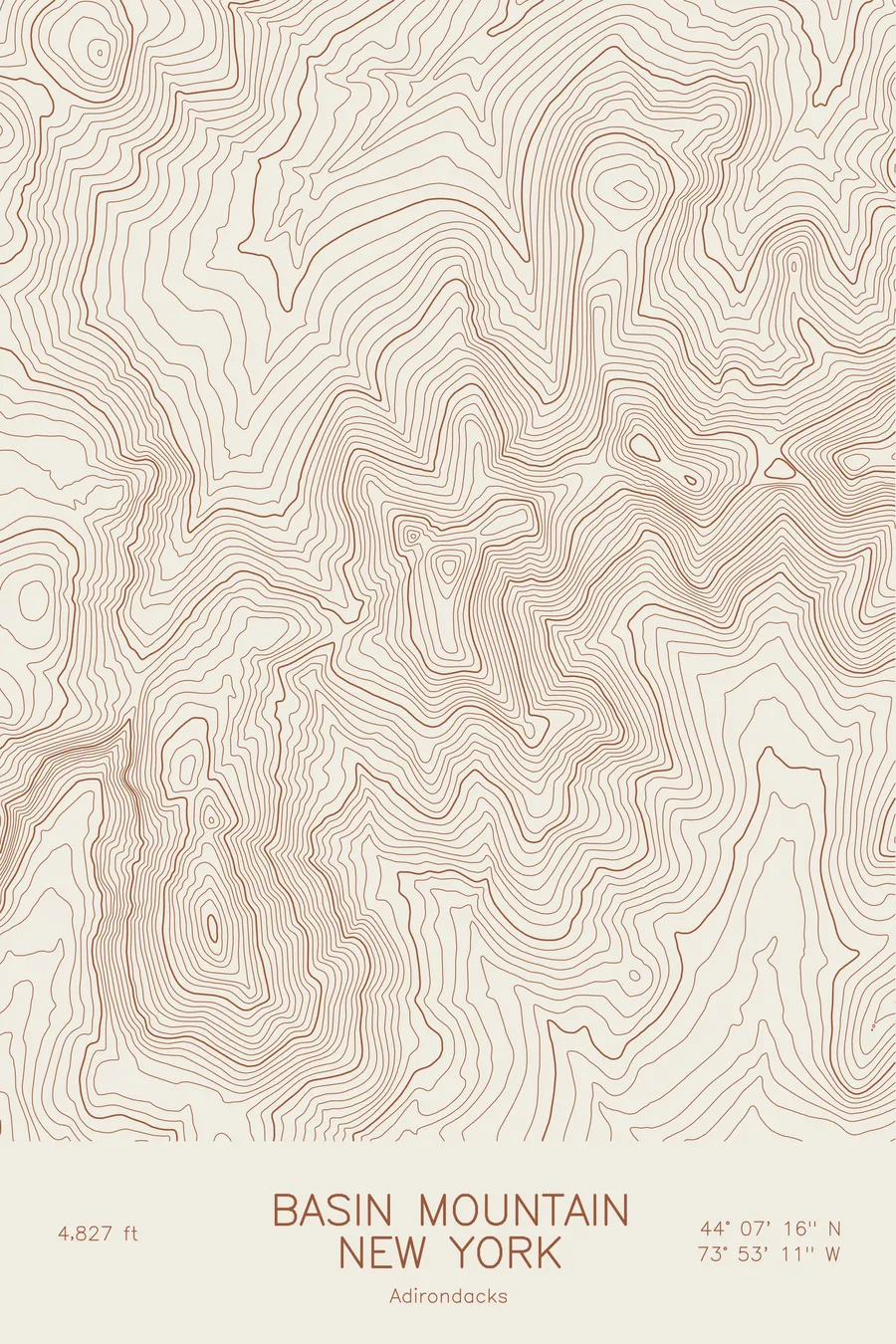
A pen-plotted topographic map of Basin Mountain in the Adirondacks, New York, drawn from real elevation contour data.
Ninth-highest Adirondack High Peak on the Great Range. 4,827 feet above sea level.
$54
Ink & paper: Blue
Size: 12×18"
+Personalize this map
+ Details
- 12 × 18 inches
- Drawn on 98 lb (160 gsm) archival cotton paper
- Precision technical pens and archival inks
- Signed and dated on the back
- Ships flat, protected, ready to frame
Each map begins with elevation data and is drawn by a pen plotter in our Vermont studio. Mechanical precision, plus the texture and small imperfections of real ink on paper.
Off the screen
In real rooms



















+ About this map
Basin Mountain rises to 4,827 feet on the Great Range of the Adirondack High Peaks, the ninth-highest summit in New York. It sits in the middle of the range’s toughest stretch, wedged between Saddleback and Haystack, and most people reach it as one hard link in a long ridge day rather than as a destination on its own. The summit is open rock with a view straight across to Marcy.
This map traces the sawtooth profile of the Great Range. The contour lines pile up on both sides of Basin’s summit where the ridge drops into deep cols and climbs again, so the crest reads as a chain of tight knots joined by narrow saddles. Johns Brook Valley opens out to the north in wider bands, while the elevation on this sheet runs from about 2,300 feet in the valley floors to just under 5,000 feet on the neighbouring high ground, nearly half a mile of relief packed into a few square miles of woods and rock.
+ Map details
- Basin Mountain
- New York
- United States
- Adirondacks
- Adirondacks
- 4,827 ft / 1,471 m
- 44.1212N 73.8865W
- Mountain topographic map
- Original pen plot, archival ink on cotton paper
- 8 × 12 in · 12 × 18 in · 18 × 24 in
- Ninth-highest Adirondack High Peak on the Great Range
More maps