New York
Mount Colden
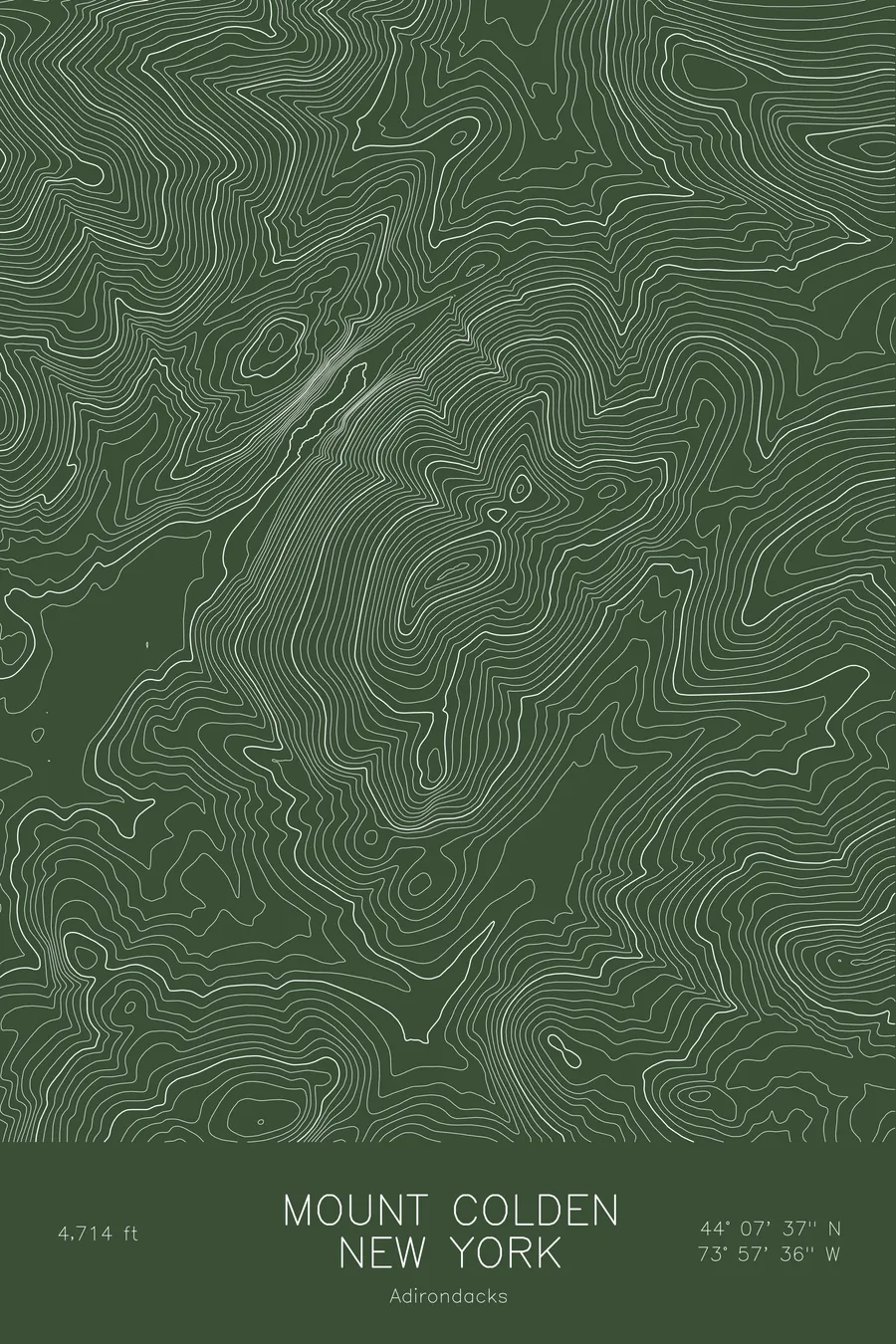
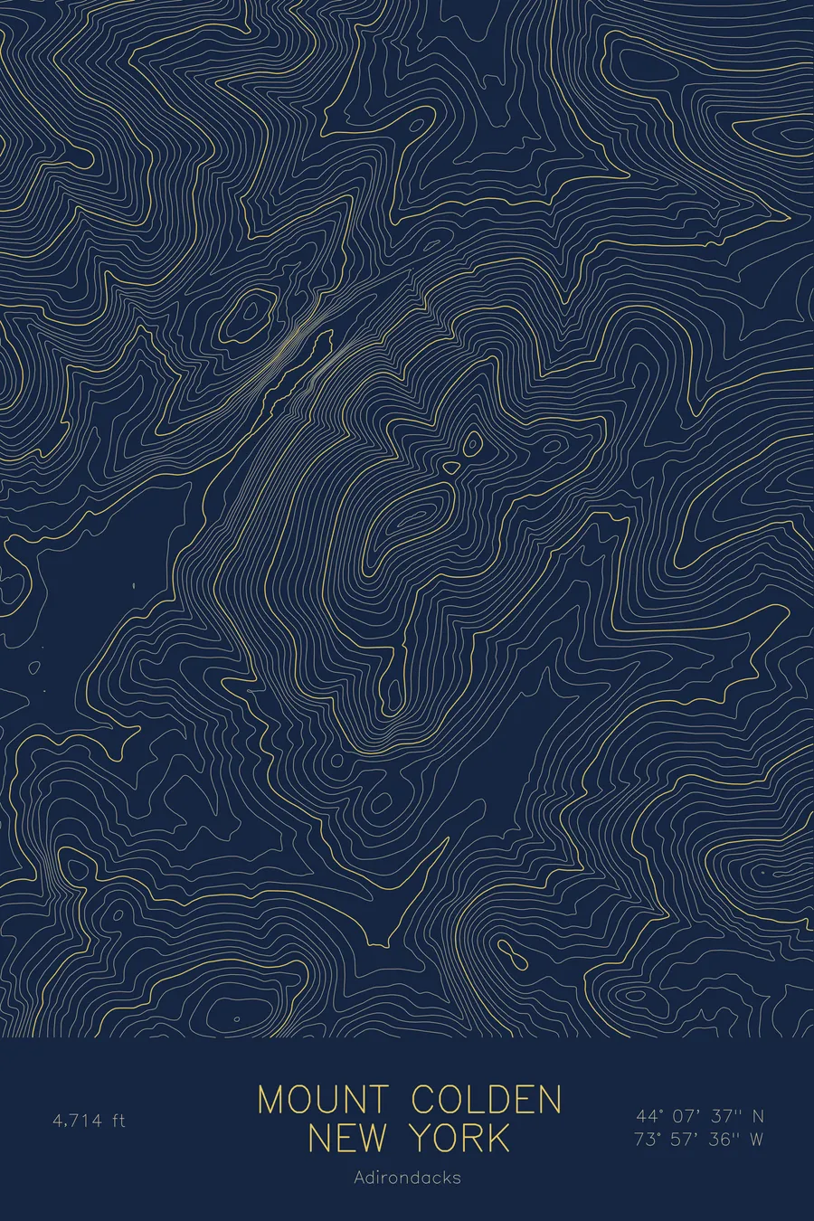
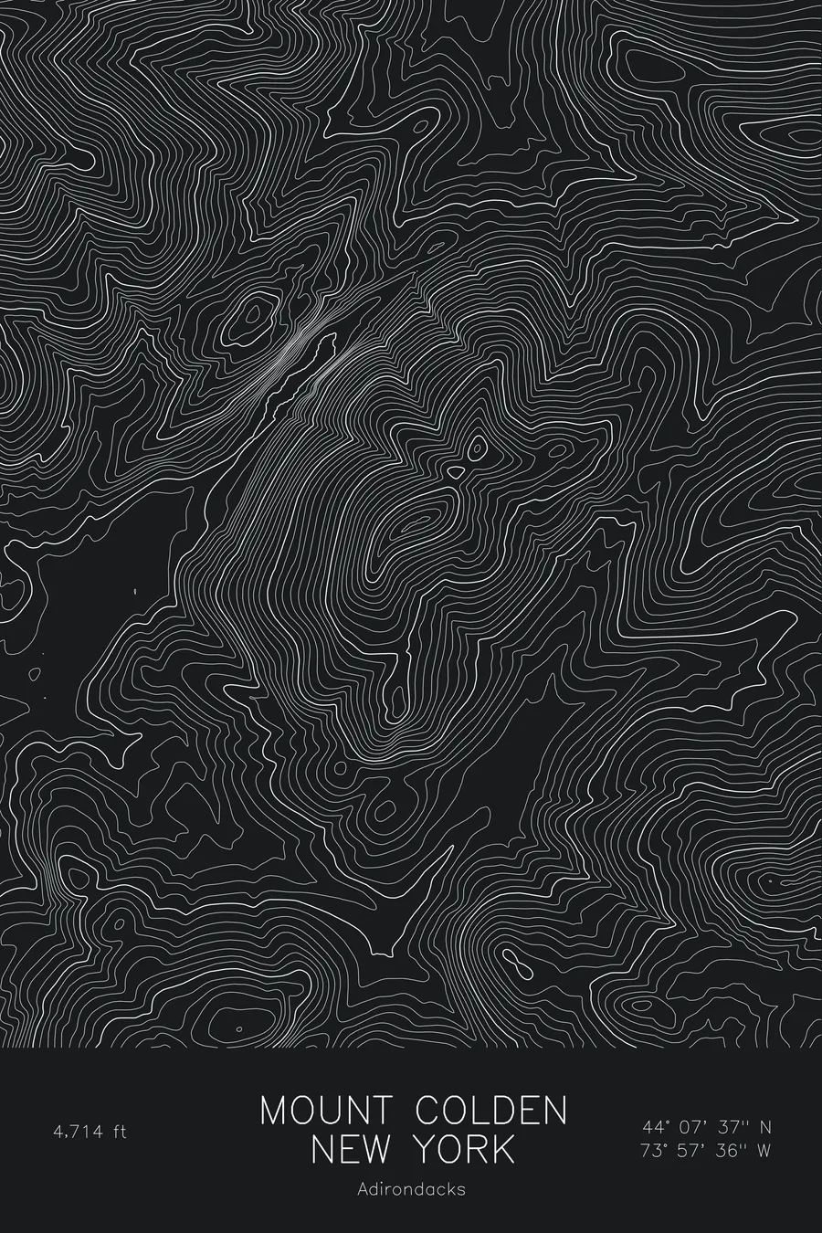
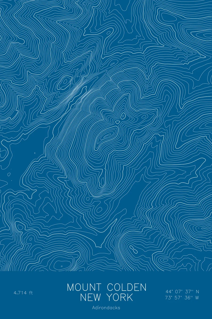
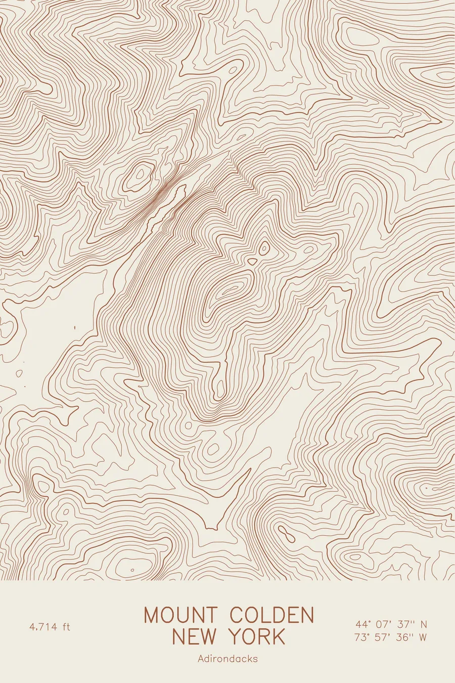
A pen-plotted topographic map of Mount Colden in the Adirondacks, New York, drawn from real elevation contour data.
Adirondack High Peak between Avalanche Lake and Lake Colden, iconic Trap Dike. 4,714 feet above sea level.
$54
Ink & paper: Blue
Size: 12×18"
+Personalize this map
+ Details
- 12 × 18 inches
- Drawn on 98 lb (160 gsm) archival cotton paper
- Precision technical pens and archival inks
- Signed and dated on the back
- Ships flat, protected, ready to frame
Each map begins with elevation data and is drawn by a pen plotter in our Vermont studio. Mechanical precision, plus the texture and small imperfections of real ink on paper.
Off the screen
In real rooms



















+ About this map
Mount Colden rises to 4,714 feet in the Adirondack High Peaks of New York, wedged between the MacIntyre Range and Mount Marcy. Its west face rises straight out of Avalanche Lake and Lake Colden, and cutting through that face is the Trap Dike, a deep cleft in the anorthosite that has served as a climbing route for well over a century and remains one of the most recognizable features in the Adirondacks.
This map traces the narrow, steep-sided form of the mountain. The contour lines bunch tightly along the west face above the lakes, then relax across the long summit ridge running northeast toward Lake Arnold. Avalanche Pass shows as the pinched gap between Colden and the slopes of the MacIntyre Range to the west, and the whole frame covers about 2,500 feet of relief, from the lake basins to the bare rock slabs near the top. The exposed slides that streak the mountain are what give the map its distinctive ribbed pattern.
+ Map details
- Mount Colden
- New York
- United States
- Adirondacks
- Adirondacks
- 4,714 ft / 1,437 m
- 44.1270N 73.9599W
- Mountain topographic map
- Original pen plot, archival ink on cotton paper
- 8 × 12 in · 12 × 18 in · 18 × 24 in
- Adirondack High Peak between Avalanche Lake and Lake Colden, iconic Trap Dike
More maps