
New York
Gothics
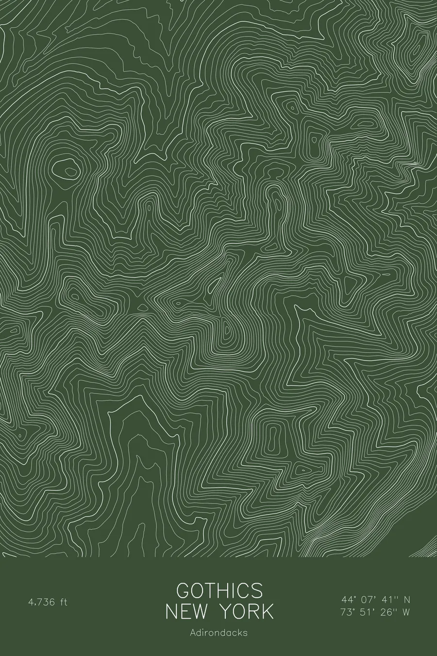
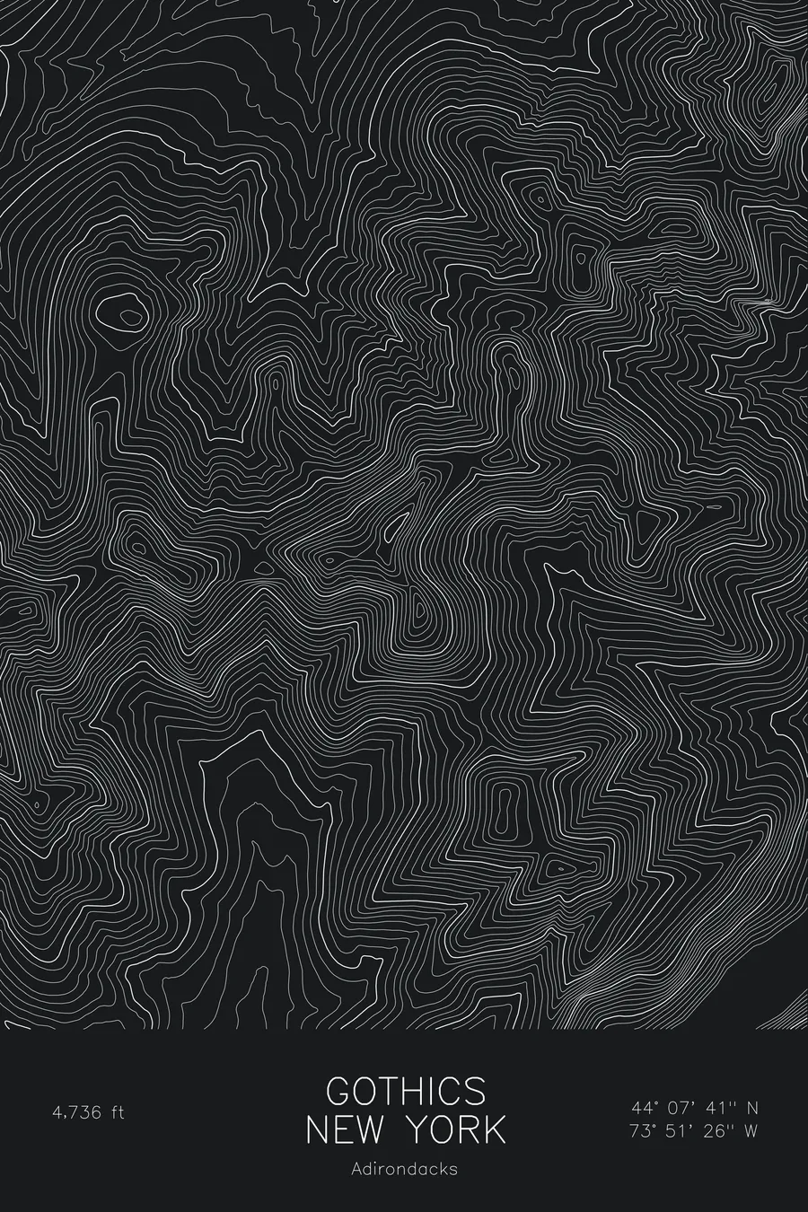
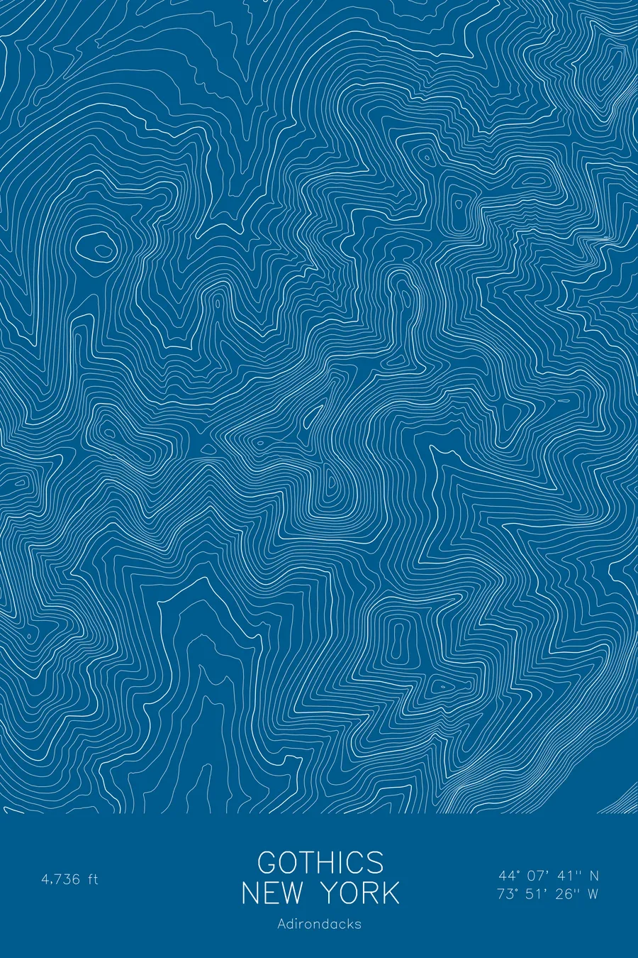
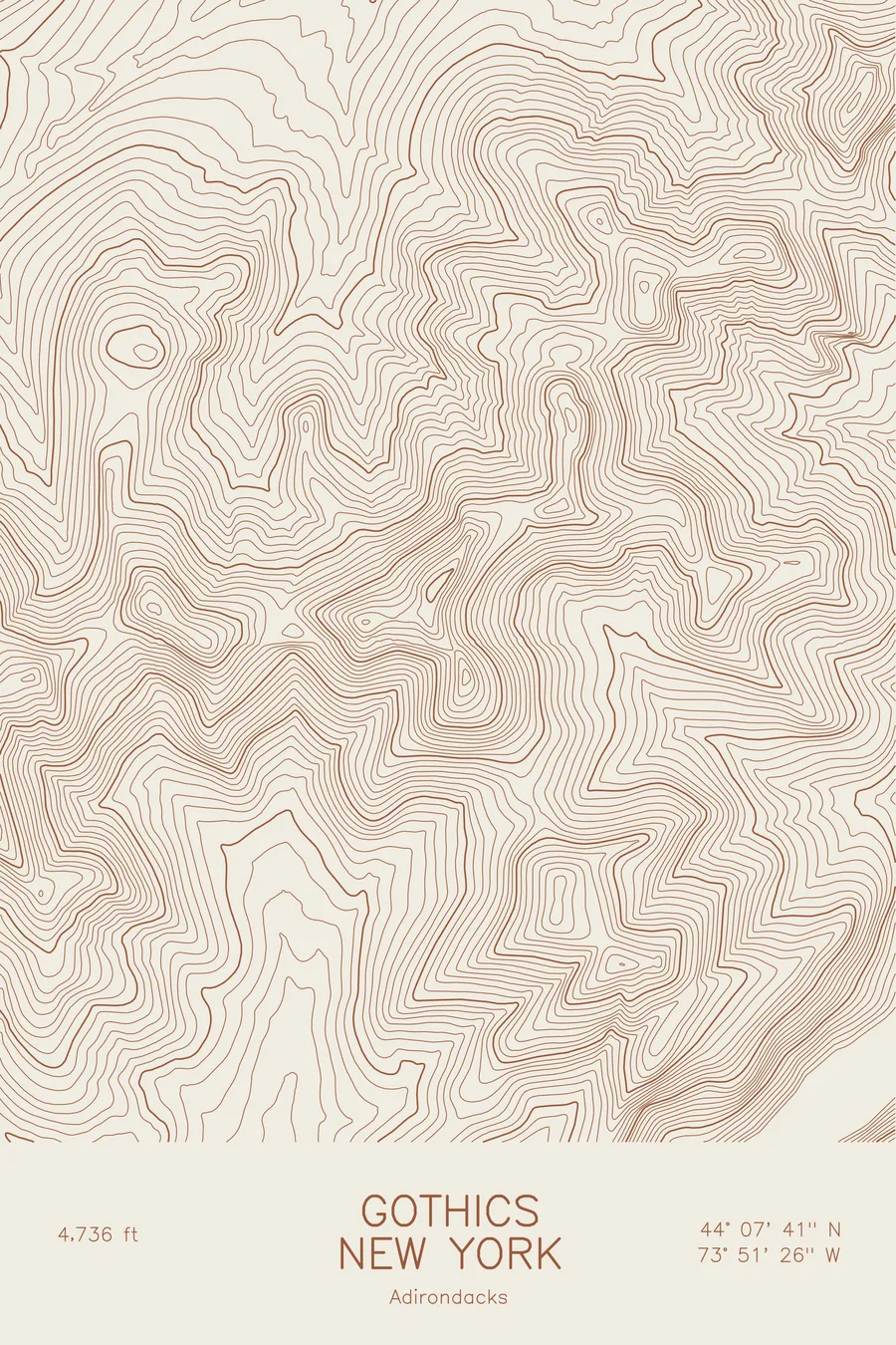
A pen-plotted topographic map of Gothics in the Adirondacks, New York, drawn from real elevation contour data.
Tenth-highest Adirondack High Peak, famous rock slides and cable route on the Great Range. 4,736 feet above sea level.
$54
Ink & paper: Blue
Size: 12×18"
+Personalize this map
+ Details
- 12 × 18 inches
- Drawn on 98 lb (160 gsm) archival cotton paper
- Precision technical pens and archival inks
- Signed and dated on the back
- Ships flat, protected, ready to frame
Each map begins with elevation data and is drawn by a pen plotter in our Vermont studio. Mechanical precision, plus the texture and small imperfections of real ink on paper.
Off the screen
In real rooms



















+ About this map
Gothics rises to 4,736 feet on the Great Range of the Adirondack High Peaks, the tenth-highest summit in New York. It is one of the most distinctive mountains in the park, its flanks stripped bare by rock slides that give it a pale, cathedral-like face, and the cable route up its steep south side is a High Peaks rite of passage. Pyramid Peak, a sharp sub-summit just to the south, offers the classic view of the mountain.
This map traces the slide-scarred core of the Great Range. The contour lines wrap the summit in tight bands on every side, with the smooth steep tracks of the slides running straight down the faces and the narrow ridge to Pyramid Peak showing as a sharp spur. Armstrong and the rest of the range continue along the crest. Elevation on this map runs from about 1,950 feet in the valleys to the summit, nearly 2,800 feet of relief.
+ Map details
- Gothics
- New York
- United States
- Adirondacks
- Adirondacks
- 4,736 ft / 1,444 m
- 44.1281N 73.8571W
- Mountain topographic map
- Original pen plot, archival ink on cotton paper
- 8 × 12 in · 12 × 18 in · 18 × 24 in
- Tenth-highest Adirondack High Peak, famous rock slides and cable route on the Great Range
More maps