Colorado
Beaver Creek
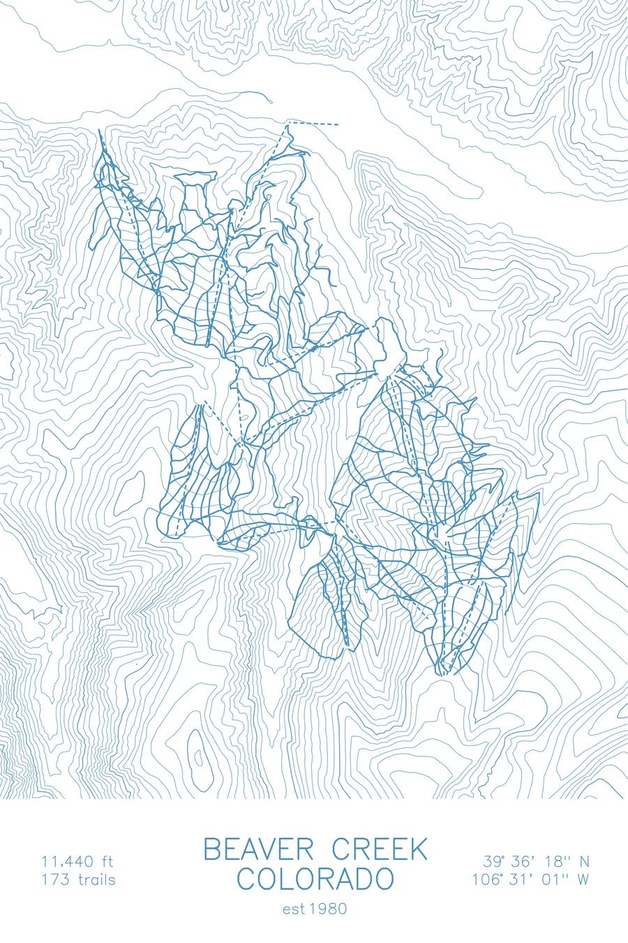
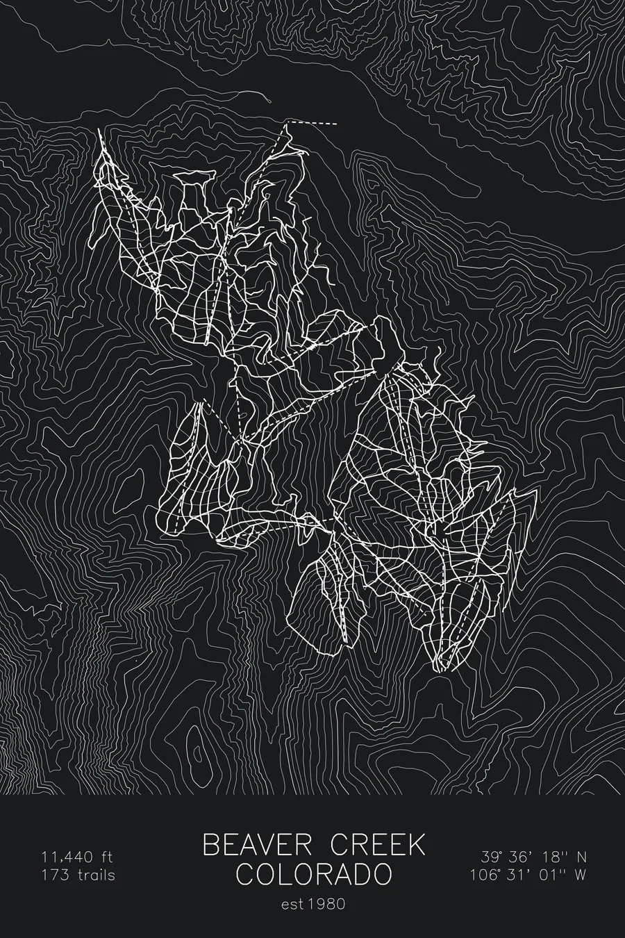
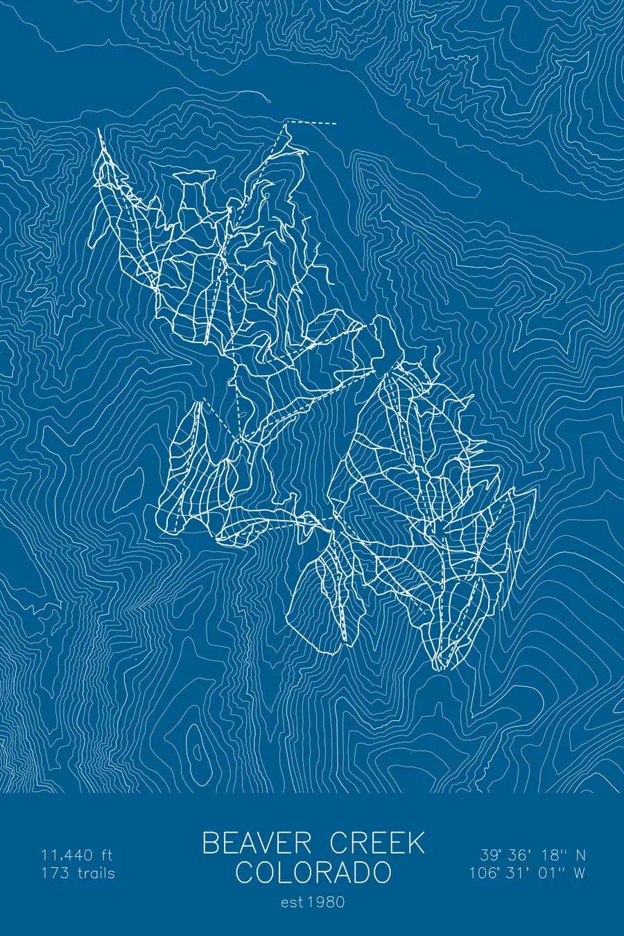
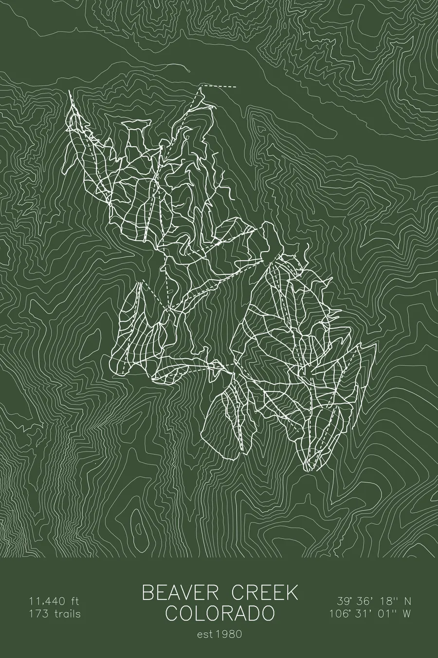
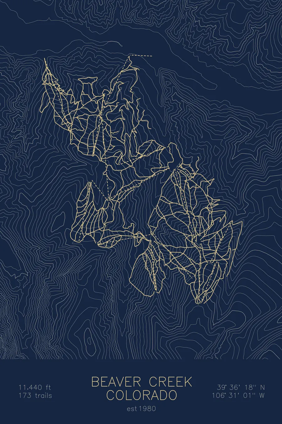
A topographic ski map of Beaver Creek, Colorado, with the resort's runs and lifts drawn over real terrain in a minimalist contour-line design.
Planned for the 1976 Denver Olympics, which Colorado voters cancelled by referendum in 1972.
$63
Ink & paper: Arctic White
Size: 12×18"
+Personalize this map
+ Details
- 12 × 18 inches
- Drawn on 98 lb (160 gsm) archival cotton paper
- Precision technical pens and archival inks
- Signed and dated on the back
- Ships flat, protected, ready to frame
Each map begins with elevation data and is drawn by a pen plotter in our Vermont studio. Mechanical precision, plus the texture and small imperfections of real ink on paper.
Off the screen
In real rooms



















+ About this map
Beaver Creek was planned as the alpine venue for the 1976 Winter Olympics, which Denver had won and then, uniquely in Olympic history, gave back. In November 1972 Colorado voters rejected public funding for the games by roughly 3 to 2, the games went to Innsbruck instead, and Denver remains the only city ever to return an Olympics it had already been awarded. The resort got built anyway: ground broke in July 1977, and Beaver Creek opened on December 15, 1980 with six chairlifts in the mountains above Avon, a short drive west of Vail. Its 173 trails now climb to 11,440 feet.
The resort is best known for Birds of Prey, the World Cup downhill course that plunges down its front face each December, one of the fastest and most technical tracks in ski racing. Off the snow, Beaver Creek trades on polish: heated walkways, escalators to the lifts, and cookies at the base every afternoon. The contours here show three connected mountain faces folding down toward the village.
+ Map details
- Beaver Creek
- Colorado
- United States
- Rocky Mountains
- 11,440 ft / 3,487 m
- 39.6050N 106.5169W
- Ski resort trail map
- Original pen plot, archival ink on cotton paper
- 8 × 12 in · 12 × 18 in · 18 × 24 in
- Est. 1980. 173 trails
More maps