Utah
Brighton
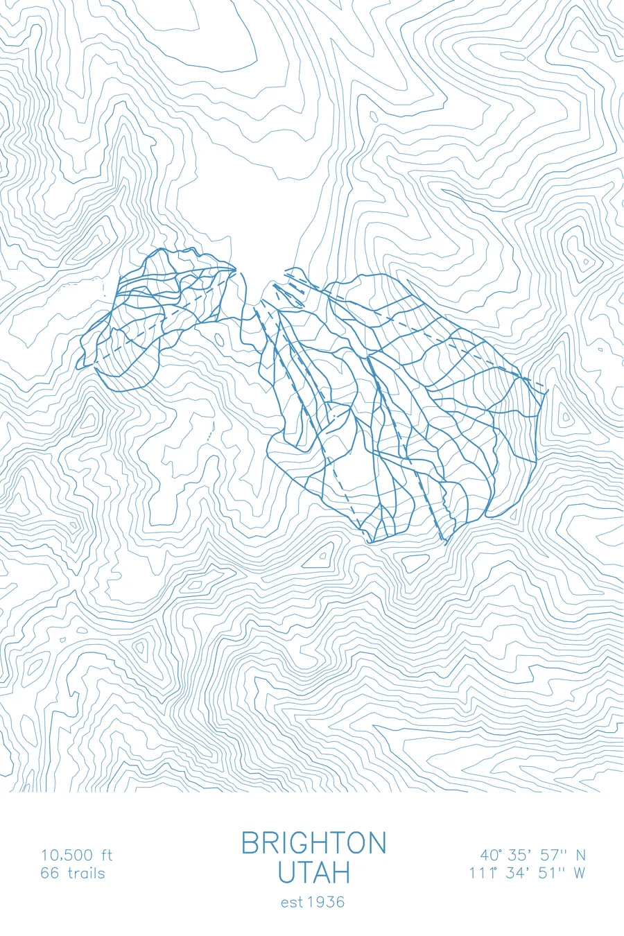
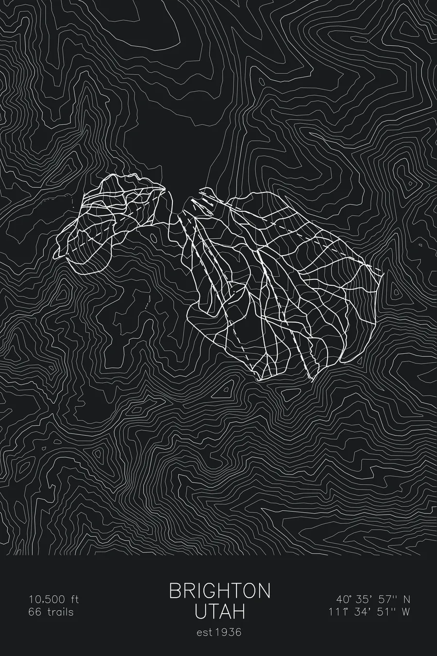
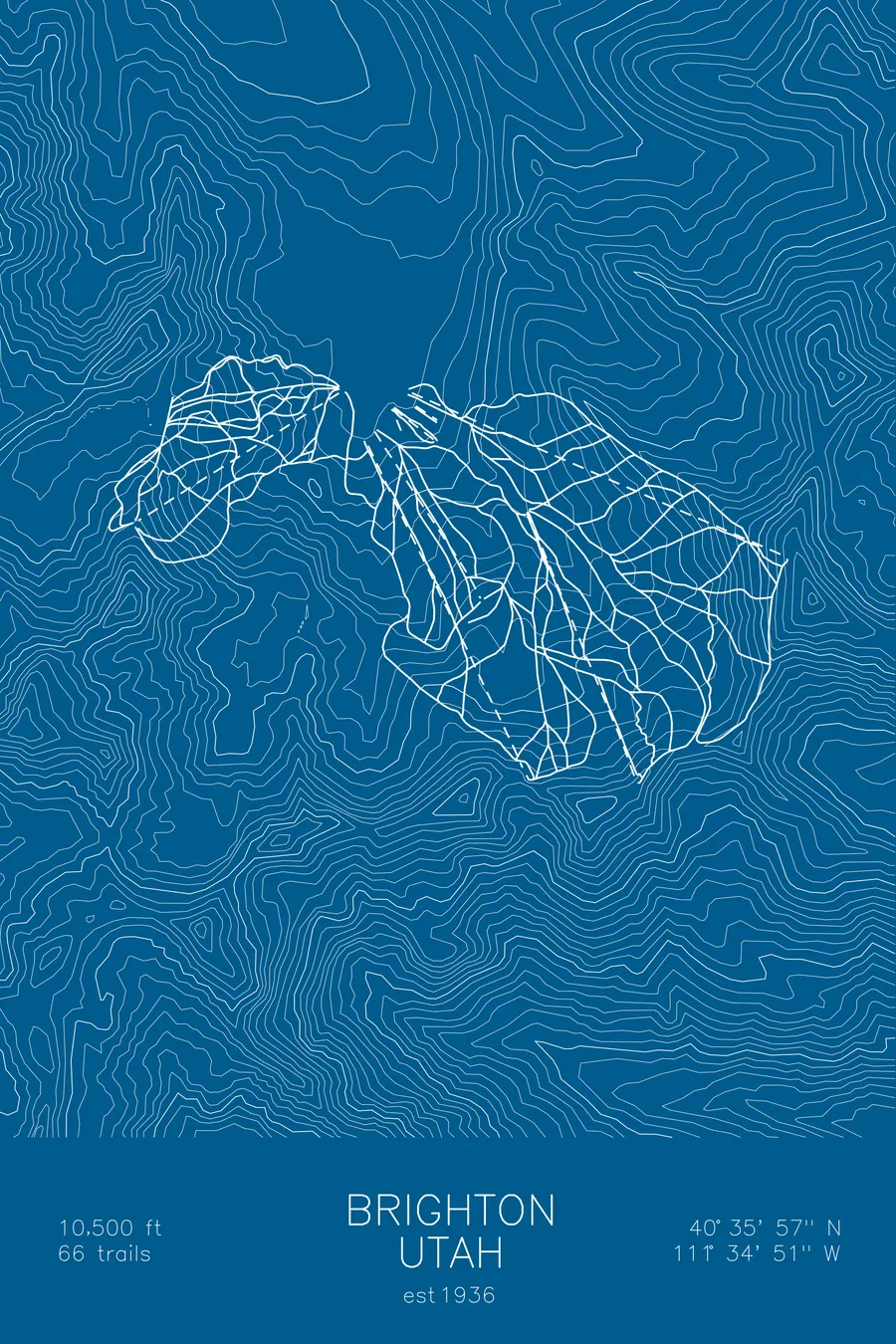
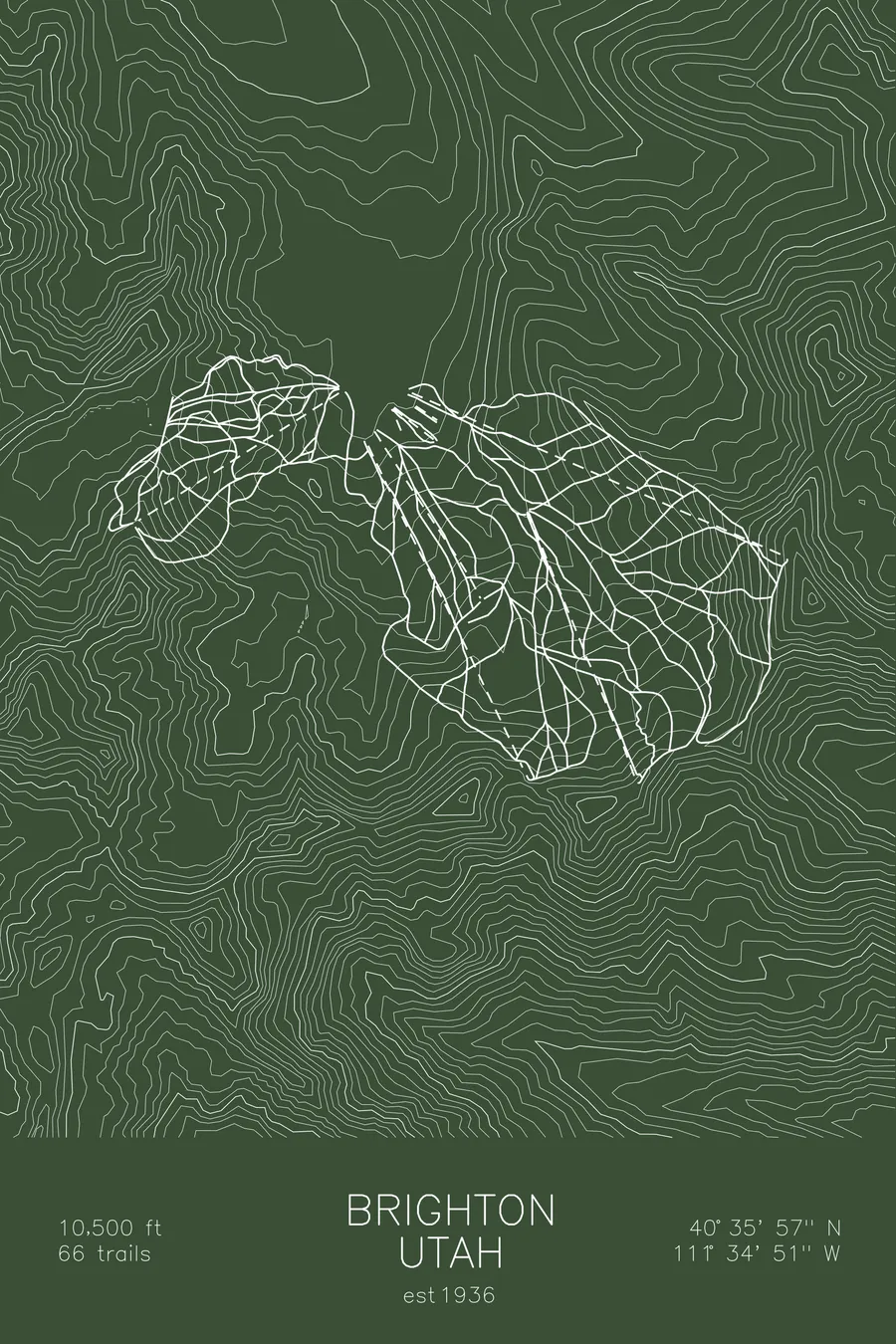
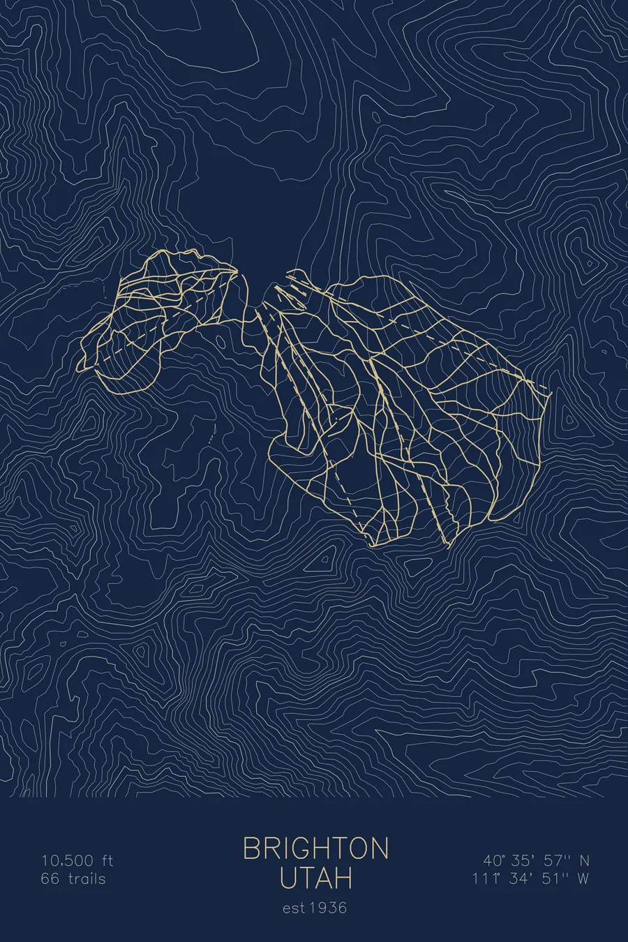
A topographic ski map of Brighton, Utah, with the resort's runs and lifts drawn over real terrain in a minimalist contour-line design.
Est. 1936. 66 trails. 10,500 feet above sea level.
$63
Ink & paper: Arctic White
Size: 12×18"
+Personalize this map
+ Details
- 12 × 18 inches
- Drawn on 98 lb (160 gsm) archival cotton paper
- Precision technical pens and archival inks
- Signed and dated on the back
- Ships flat, protected, ready to frame
Each map begins with elevation data and is drawn by a pen plotter in our Vermont studio. Mechanical precision, plus the texture and small imperfections of real ink on paper.
Off the screen
In real rooms



















+ About this map
Brighton is one of Utah’s original ski areas, sitting at the very top of Big Cottonwood Canyon since 1936. It’s known for deep Wasatch powder, night skiing, and a laid-back, snowboarder-friendly atmosphere that contrasts with its more polished neighbors. All of its terrain is accessible from high-speed lifts, and the resort’s ridgelines connect to Solitude next door, its quieter partner in the canyon.
The skiing itself is better than the low-key reputation suggests: playful natural terrain, tree runs, and easy access to sidecountry lines off Millicent and Great Western that draw powder hunters all winter. The contour map shows the head of Big Cottonwood Canyon in fine detail, with Brighton’s bowls and ridges converging on the small basin where the canyon road ends.
+ Map details
- Brighton
- Utah
- United States
- Rocky Mountains
- 10,500 ft / 3,200 m
- 40.5992N 111.5808W
- Ski resort trail map
- Original pen plot, archival ink on cotton paper
- 8 × 12 in · 12 × 18 in · 18 × 24 in
- Est. 1936. 66 trails
More maps