Connecticut
Candlewood Lake
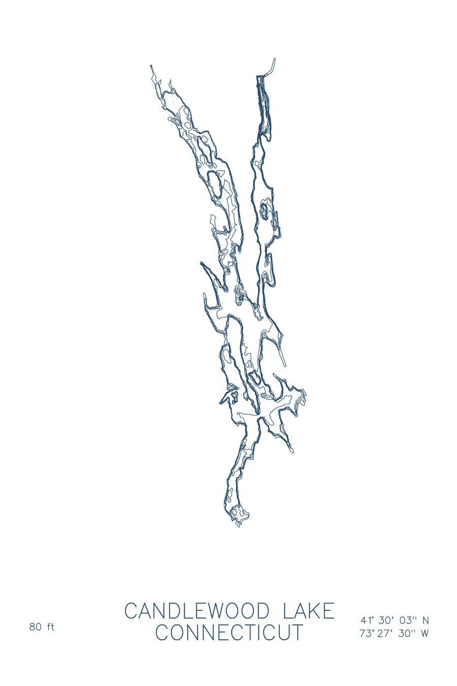
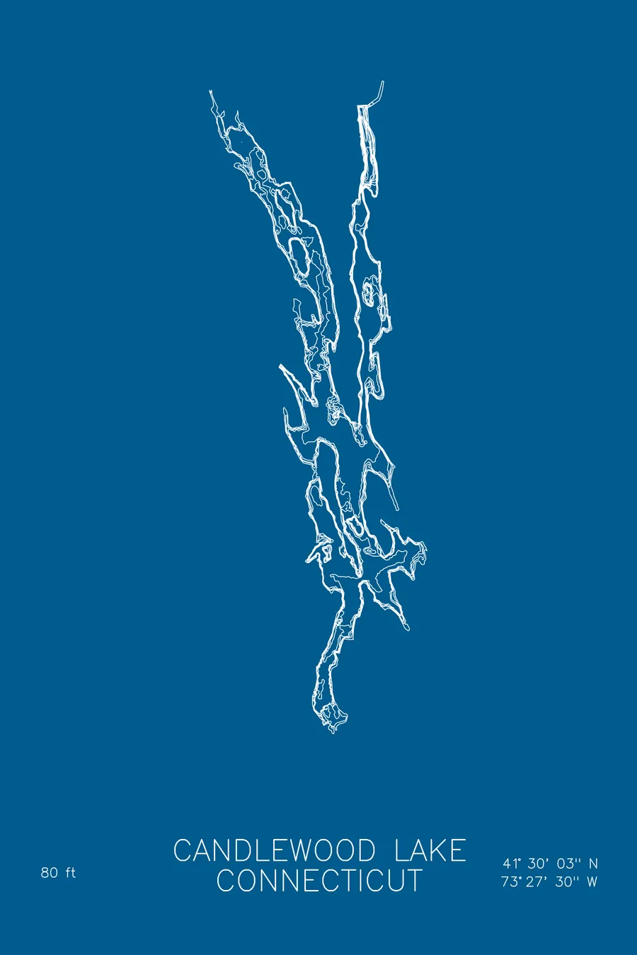
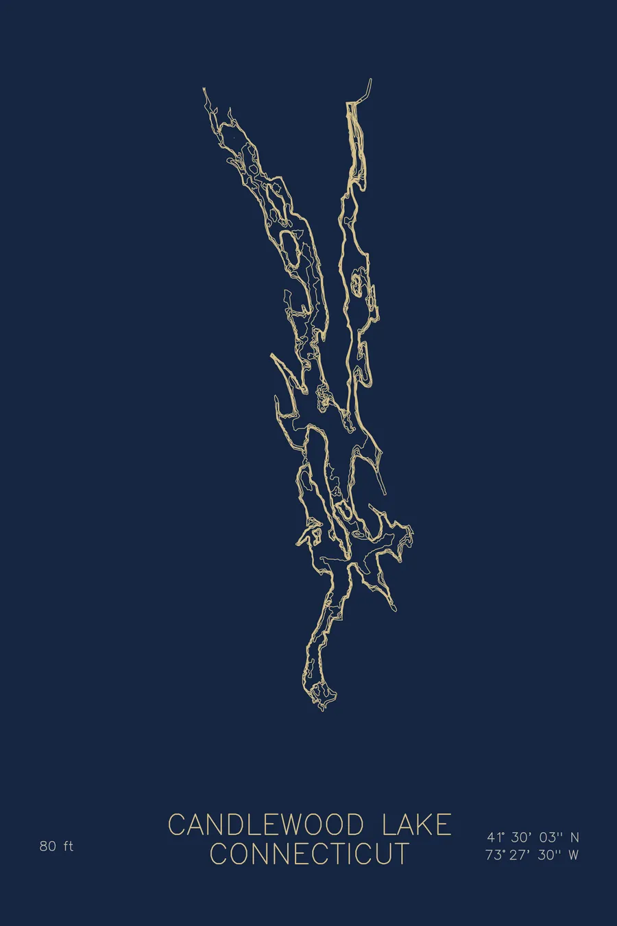
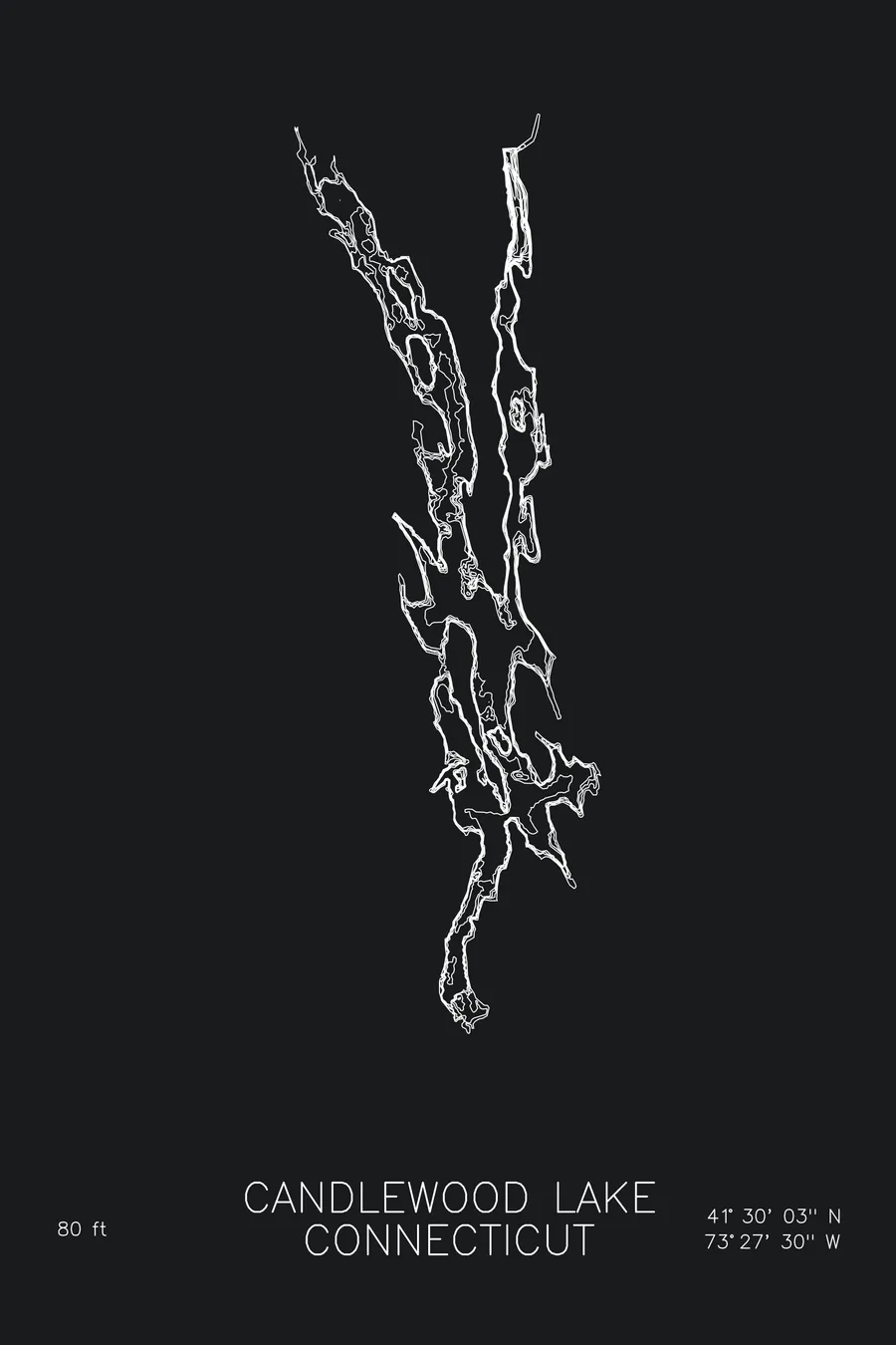
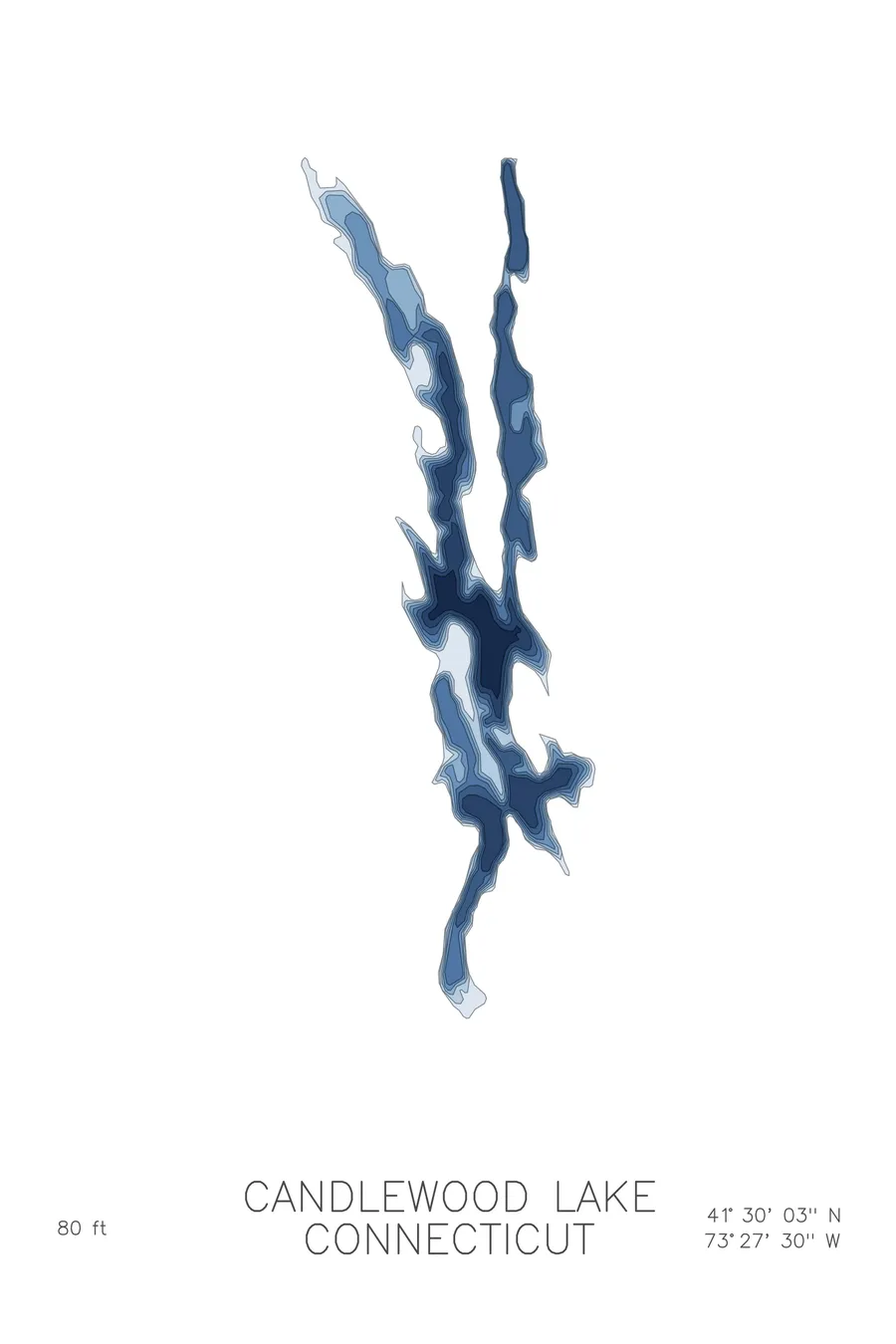
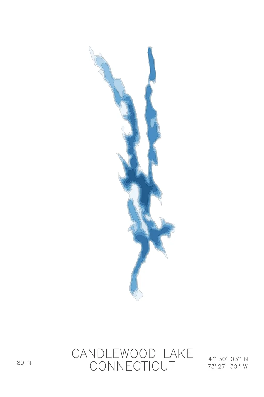
A bathymetric depth map of Candlewood Lake, Connecticut, drawn from real lake survey data in a minimalist contour-line design.
Connecticut's largest lake covers the village of Jerusalem, which never fully moved out.
$50
Ink & paper: Lake Blue
Size: 12×18"
+Personalize this map
+ Details
- 12 × 18 inches
- Drawn on 98 lb (160 gsm) archival cotton paper
- Precision technical pens and archival inks
- Signed and dated on the back
- Ships flat, protected, ready to frame
Each map begins with elevation data and is drawn by a pen plotter in our Vermont studio. Mechanical precision, plus the texture and small imperfections of real ink on paper.
Off the screen
In real rooms



















+ About this map
Divers report Model T Fords at the bottom of Candlewood Lake. When the Rocky River valley was flooded in 1928 for one of the country’s first large pumped-storage hydroelectric projects, the farming village of Jerusalem was cleared out, but not entirely: roads and bridges were left where they stood while the water came up. Connecticut’s largest lake is thus, technically, a piece of power infrastructure, still filled by water pumped uphill from the Housatonic River, and its sprawling arms and islands touch five towns, including Danbury and New Milford. The shoreline has been prime New England lake real estate ever since. The lake reaches 80 feet deep, which is not far above the covered bridges.
The depth contours show a drowned valley rather than a natural basin. The map traces long arms following the old river and its side hollows, islands printing as tight rings where hilltops broke the waterline, and points running far out underwater along buried ridgelines. The deepest water lies in the main channel, the ghost of the Rocky River itself.
+ Map details
- Candlewood Lake
- Connecticut
- United States
- New England
- 41.5007N 73.4584W
- Lake bathymetric depth map
- Original pen plot, archival ink on cotton paper
- 8 × 12 in · 12 × 18 in · 18 × 24 in
- Max depth 80 ft
More maps