Texas
Canyon Lake
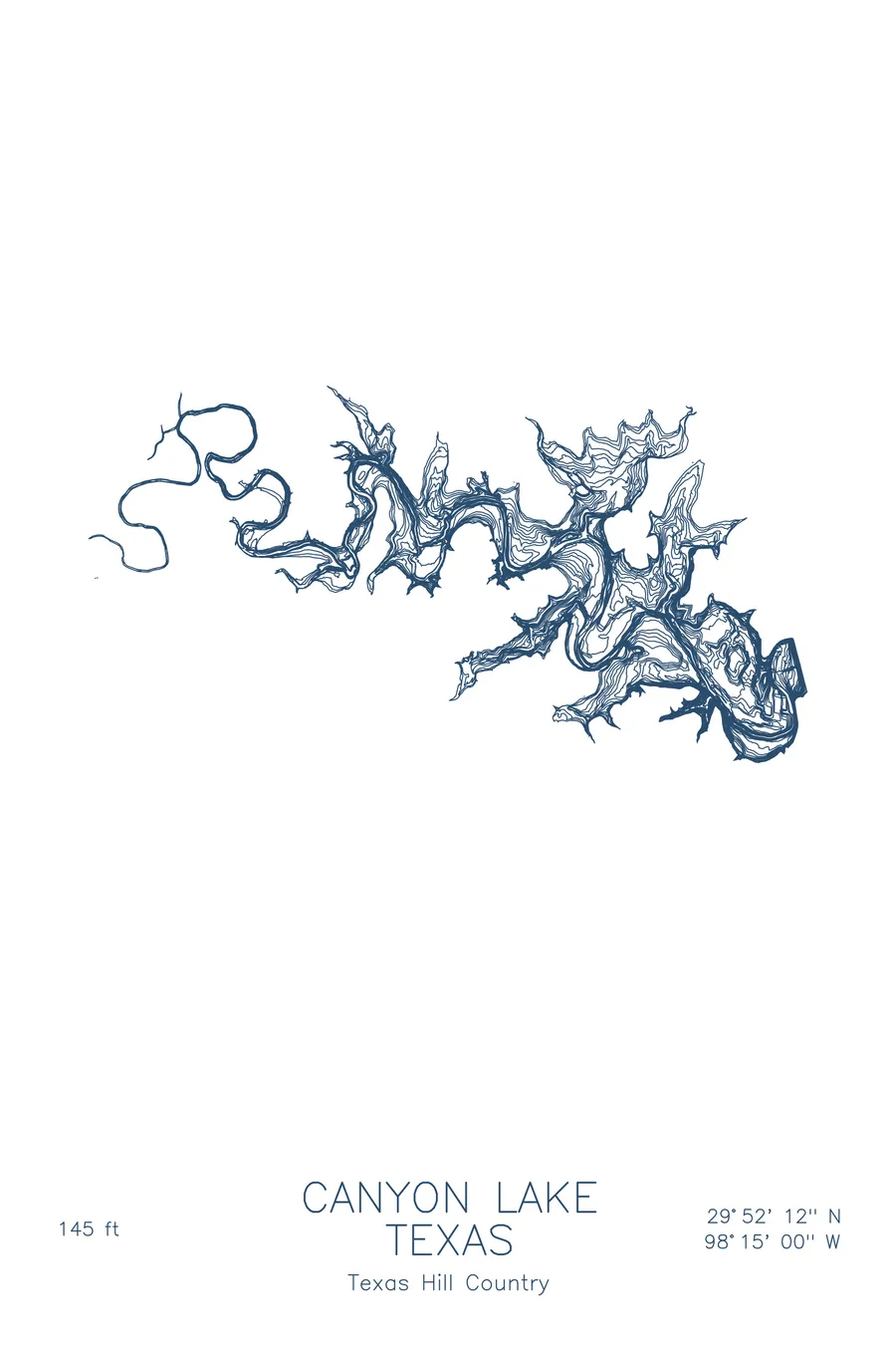
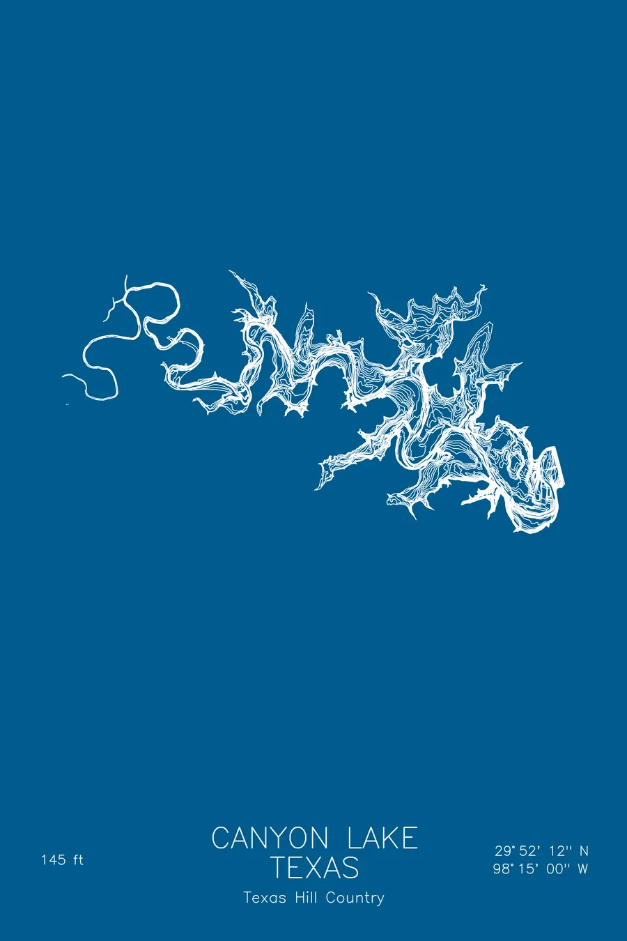
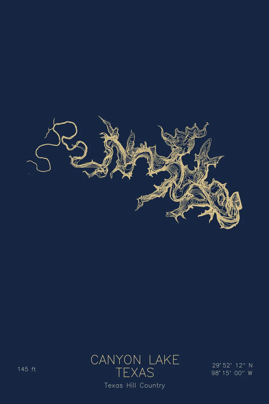
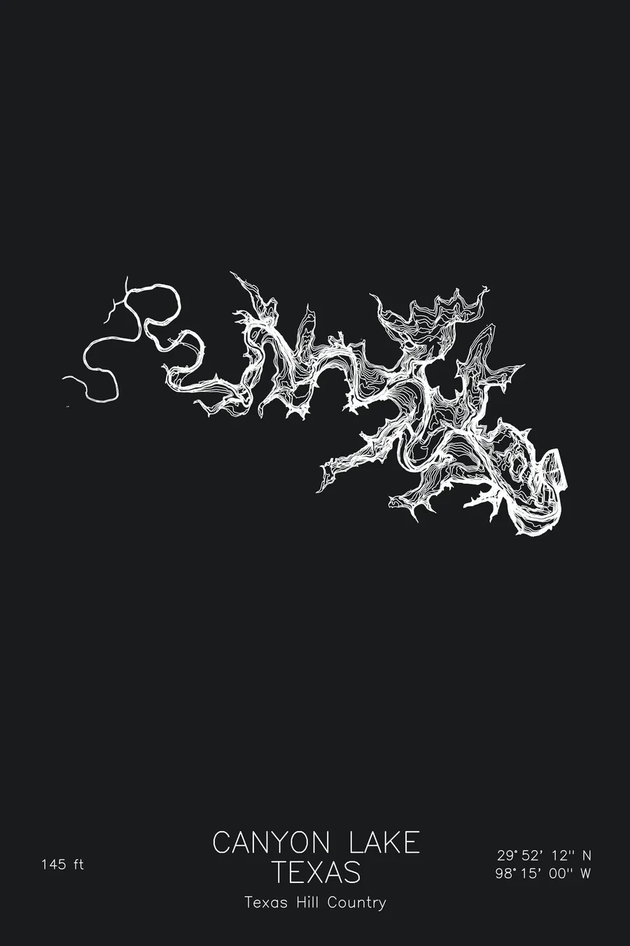
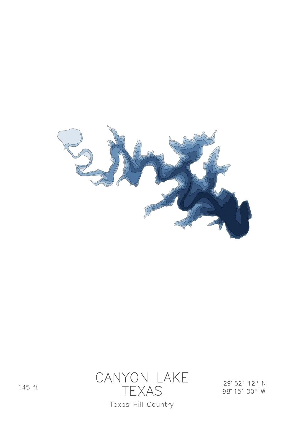
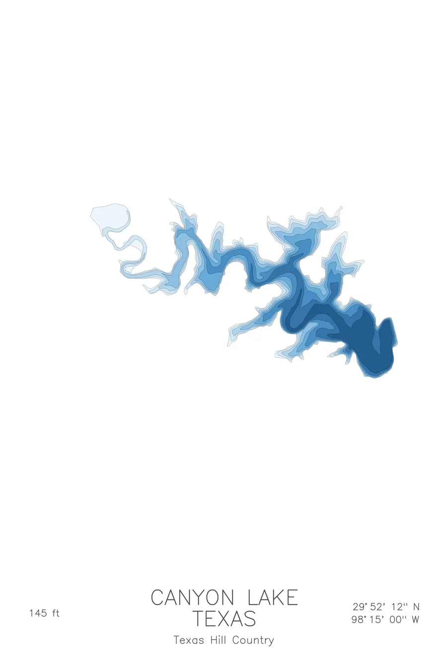
A bathymetric depth map of Canyon Lake, Texas, drawn from real lake survey data in a minimalist contour-line design.
In July 2002 its spillway overflow carved a mile-long canyon out of 110-million-year-old limestone in three days.
$50
Ink & paper: Lake Blue
Size: 12×18"
+Personalize this map
+ Details
- 12 × 18 inches
- Drawn on 98 lb (160 gsm) archival cotton paper
- Precision technical pens and archival inks
- Signed and dated on the back
- Ships flat, protected, ready to frame
Each map begins with elevation data and is drawn by a pen plotter in our Vermont studio. Mechanical precision, plus the texture and small imperfections of real ink on paper.
Off the screen
In real rooms



















+ About this map
The limestone is 110 million years old and the canyon through it took three days. In July 2002, after nearly three feet of rain in one week, water went over Canyon Dam’s emergency spillway for the first time since the dam’s completion in 1964, peaking at roughly 67,000 cubic feet per second. The flood carved Canyon Lake Gorge, more than a mile long and up to 45 feet deep, out of Glen Rose limestone; geologists from Caltech and Texas State studied the event and confirmed the arithmetic. Above the spillway, the lake winds through drowned valleys northwest of New Braunfels and reaches 145 feet near the dam.
The depth contours trace the old Guadalupe River channel as it winds along the lake floor, the deepest thread on the map. Around it, flooded side canyons print as branching coves, their walls stacked in tight contour lines where the limestone drops steeply to the water. Toward the dam the lines gather into the lake’s deepest basin, while the upper arms taper back into the shallow river that still feeds it.
+ Map details
- Canyon Lake
- Texas
- United States
- Texas Hill Country
- 29.8700N 98.2500W
- Lake bathymetric depth map
- Original pen plot, archival ink on cotton paper
- 8 × 12 in · 12 × 18 in · 18 × 24 in
- Max depth 145 ft
More maps